2010s Maps of Pine County, Minnesota
Explore 176 historic maps of Pine County from the 2010s. These maps offer a rare glimpse into what life looked like during the 2010s — showing old roads, neighborhoods, homes, and landmarks that have changed or disappeared over time.
Whether you're researching your family's past, planning a metal detecting trip, or studying how Pine County's landscape evolved across the 2010s, these high-resolution maps are a powerful tool for exploring the history of this region.
- Focus on a specific era: All maps on this page are from the 2010s, giving you a focused view of this time period.
- See what’s changed: Compare century-old streets, trails, and buildings to today's modern landscape using overlays and satellite layers.
- Research with precision: Use these maps for genealogy, historical research, land use analysis, or educational projects.
- View, download, or print: Maps are fully viewable online in high resolution, and can be downloaded or printed for your own records.
Start exploring Pine County's history through authentic maps from the 2010s. This is your window into the past.
Pine County, MN maps
(176)- 2010 Map of Cedar Lake, 2010 Print
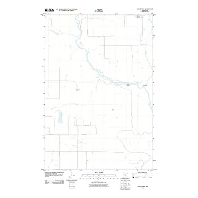 2010 Cedar Lake2010 Print · USGSPine County during the early twenty-first century shows a landscape shaped by the Kettle River and local conservation efforts. Trace property and drainage patterns near Cedar Lake, the Calvin Harth Wildlife Structure Dam, and the river bends at Big Eddy.
- 2010 Map of Randall, 2010 Print
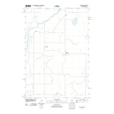 2010 Randall2010 Print · USGSThe banks of the Saint Croix River meet the rural backroads of eastern Minnesota in this 2010 study. Genealogists can trace family lands near the settlements of Benson, Randall, and Lind, or locate the Sterling Lookout Tower.
- 2010 Map of Yellow Lake, 2010 Print
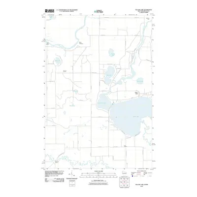 2010 Yellow Lake2010 Print · USGSThe interconnected waterways of Burnett County take center stage in this 2010 survey of the Yellow Lake region. Genealogists and researchers can trace family landmarks at Bluff Lake Cemetery, the Danbury Dam, and the river crossing at Ice House Bridge.
- 2010 Map of Beroun, 2010 Print
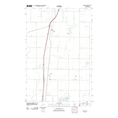 2010 Beroun2010 Print · USGSPine County's rural character is on full display in the early 2000s, centered on the historic community of Beroun. Genealogists and historians can locate family landmarks like Saint Joseph Cemetery, Cech Cemetery, and the Lawrence Mans Dam.
- 2010 Map of Grantsburg, 2010 Print
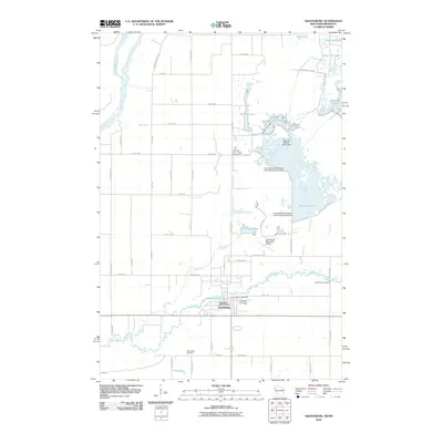 2010 Grantsburg2010 Print · USGSGrantsburg and the surrounding Burnett County wetlands are documented here in the early twenty-first century. Family historians can locate Riverside Cemetery and Wood River Cemetery, while researchers of the local landscape can trace managed waters like Phantom Lake and the Saint Croix River.
- 2010 Map of Bass Creek, 2010 Print
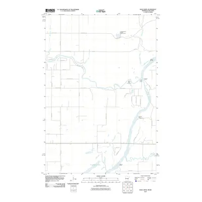 2010 Bass Creek2010 Print · USGSThe river valleys of eastern Minnesota and western Wisconsin are captured here in the early twenty-first century as the Saint Croix River meets the Snake River. Trace public landings and riverfront terrain from Soderbeck Landing down to Sandrock Cliff Campground.
- 2010 Map of Pine City, 2010 Print
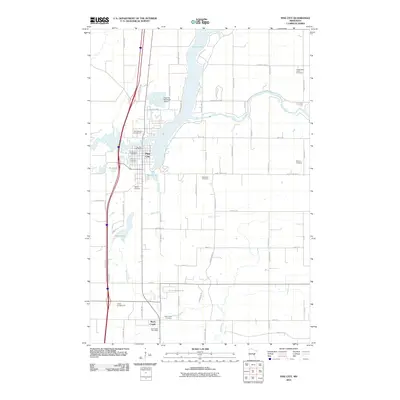 2010 Pine City2010 Print · USGSPine City and the surrounding Pine County countryside are documented here in the early twenty-first century as the area continued to grow. Family historians can locate several burial grounds, such as Bohemian Cemetery and Hustletown Union Cemetery, or trace the banks of the Snake River.
- 2010 Map of Lake Clayton, 2010 Print
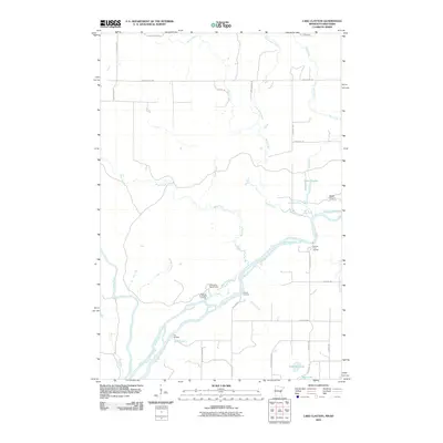 2010 Lake Clayton2010 Print · USGSThe confluence of the Saint Croix River and Kettle River dominates this 2010 landscape of landings and camps. Researchers can trace historical river access points like Norway Point Landing or locate remote interior waters such as Lake Clayton and Fuhrman Lake.
- 2010 Map of Rush City, 2010 Print
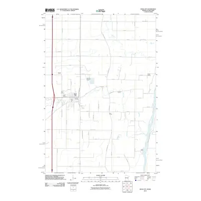 2010 Rush City2010 Print · USGSRush City and the eastern border of Minnesota are captured here in the early twenty-first century, showing the town at the intersection of local industry and river travel. Researchers can trace several family burial sites including the Gee Family Cemetery and Taylor Cemetery, as well as the Rush Creek Dam.
- 2010 Map of Braham, 2010 Print
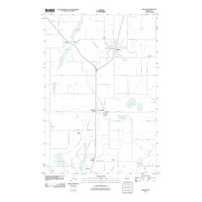 2010 Braham2010 Print · USGSThe rural landscape around Braham and Grandy is documented here in the early twenty-first century as agricultural fields meet a network of glacial lakes. Researchers can trace local heritage through numerous burial sites like Mission Cemetery and Rice Lake Cemetery, or locate old civic centers such as the Stanchfield Post Office.
- 2010 Map of Brook Park, 2010 Print
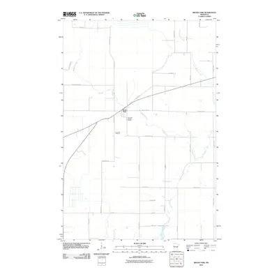 2010 Brook Park2010 Print · USGSBrook Park and the surrounding Pine County woodlands are captured here in the early twenty-first century as the landscape transitioned toward modern rural residential use. Researchers can locate family sites near the Brook Park Cemetery and trace the many branches of Pokegama Creek.
- 2010 Map of Quamba, 2010 Print
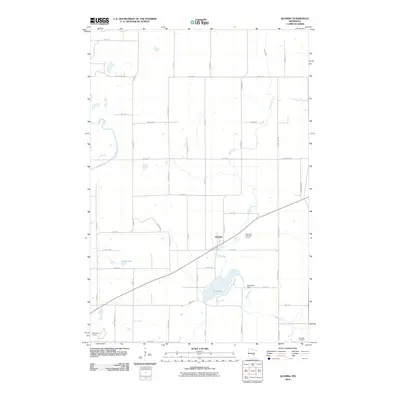 2010 Quamba2010 Print · USGSThe rural landscape of Kanabec County is captured here in the early twenty-first century, centered on the small community of Quamba. Genealogists and local historians can locate the Henriette Cemetery or trace the water levels around Mud Lake Dam and Luchts Lake.
- 2010 Map of Henriette, 2010 Print
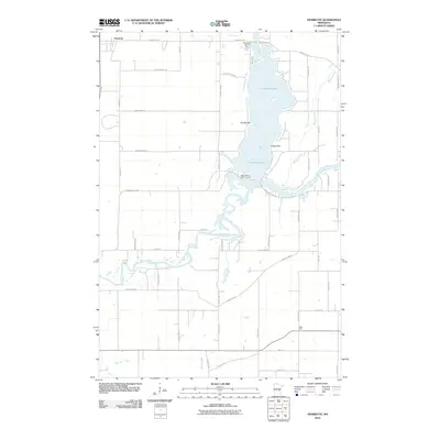 2010 Henriette2010 Print · USGSPine County and the shores of Pokegama Lake are shown here in the early twenty-first century, revealing a landscape of winding rivers and lakeside communities. Genealogists and locals can trace property locations along Snake River and find landmarks like West Rock and the Saint Gerard Mission House.
- 2010 Map of Grasston, 2010 Print
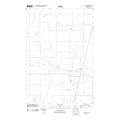 2010 Grasston2010 Print · USGSNear the banks of the Snake River, this 2010 survey shows the rural communities of Grasston and Grass Lake during a period of modern agricultural stability. Genealogists and local historians can locate the Grasston Union Cemetery, Grass Lake Cemetery, and landmarks like the Gus Herwig Dam.
- 2010 Map of Monson Lake, 2010 Print
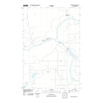 2010 Monson Lake2010 Print · USGSThe Saint Croix River valley at the Minnesota-Wisconsin border shows a landscape shaped by water and timber at the start of the 21st century. Genealogists and local historians can trace legacy sites like Peet Cemetery, Reed Corners, and the old Fleming Logging Rd.
- 2010 Map of Finlayson, 2010 Print
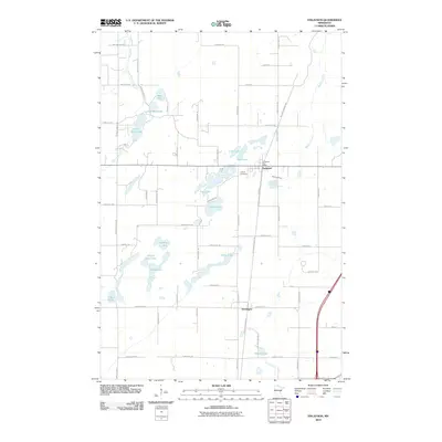 2010 Finlayson2010 Print · USGSPine County's lake country is captured here during the first decade of the 21st century, centered on the communities of Finlayson and Groningen. Genealogists and historians can trace local landmarks like the Finnish Cemetery or follow the path of the Willard Munger Trl through this water-rich terrain.
- 2010 Map of Danbury West, 2010 Print
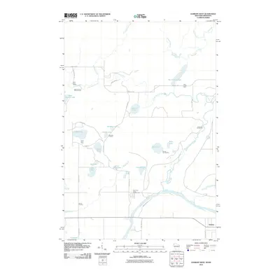 2010 Danbury West2010 Print · USGSPine County and the border of Wisconsin are defined by the river and forest at the start of the twenty-first century. Genealogists and historians can locate the Native American Burial Grounds, Lena Lake Cemetery, and the Hay Creek Dam.
- 2010 Map of Holyoke SW, 2010 Print
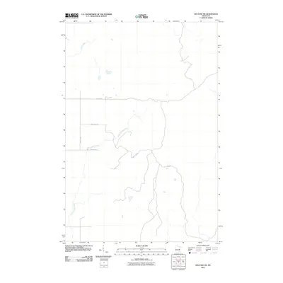 2010 Holyoke SW2010 Print · USGSPine County's river valleys and forest access roads are documented here during the early 2000s. Trace the winding paths of the Willow River and the Lower Tamarack River alongside rural routes like Rash Rd and Town Line Rd.
- 2010 Map of Kroschel, 2010 Print
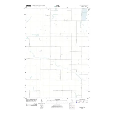 2010 Kroschel2010 Print · USGSEastern Kanabec County is mapped here during the early 2000s, showing a quiet agricultural landscape woven together by the Grindstone River. Genealogists and local historians can trace family land around Kroschel or locate the Trinity Cemetery and Grindstone Lake.
- 2010 Map of Sandstone South, 2010 Print
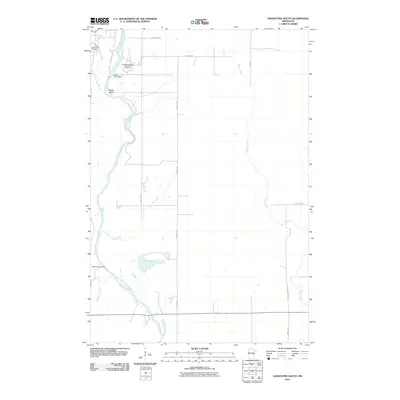 2010 Sandstone South2010 Print · USGSPine County's river-cut terrain is shown here in the years following the millennium, centered on the powerful flow of the Kettle River. Genealogists and historians can locate Spring Park Cemetery and trace industrial and institutional sites like the Kettle River Dam and the Sandstone Federal Correctional Institution.
- 2010 Map of Willow River, 2010 Print
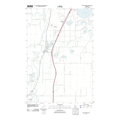 2010 Willow River2010 Print · USGSPine County's river valleys were well-established as recreational and transit hubs by the early twenty-first century. Local historians can trace the community layout of Willow River and Rutledge, identifying landmarks like the Willow River Lookout Tower and Willow River City Cemetery.
- 2010 Map of Hanging Horn Lake, 2010 Print
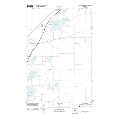 2010 Hanging Horn Lake2010 Print · USGSBarnum and the surrounding Carlton County lakelands are captured here at the start of the decade, showing a region defined by its water and rail history. Researchers can trace historic burial sites like Methodist Cemetery and recreational landmarks such as Camp Wanakiwin or the Soo Line Trl.
- 2010 Map of Ronald, 2010 Print
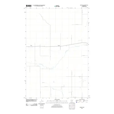 2010 Ronald2010 Print · USGSThis Aitkin County landscape reveals a quiet rural settlement pattern just after the turn of the millennium. Genealogists and local historians can locate Beaver Cemetery and trace the paths of Split Rock River and Wagon Wheel Rd.
- 2010 Map of Moose Lake, 2010 Print
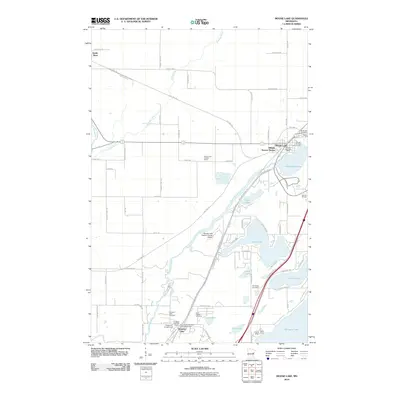 2010 Moose Lake2010 Print · USGSEastern Carlton County is documented here during a period of transition as historical rail corridors are repurposed for modern recreation. Local researchers can locate family plots at Riverside Cemetery or trace the early settlement footprints near Moose Lake and Sturgeon Lake.
- 2010 Map of Duxbury, 2010 Print
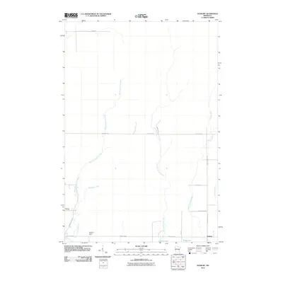 2010 Duxbury2010 Print · USGSPine County's river valleys and rural roads are documented here during the early twenty-first century. Genealogists and local historians can locate Danforth Cemetery and the settlement of Duxbury, while following waterways like Lower Tamarack River.
Showing maps 1-25 of 176
Top cities of Pine County
- Pine City historical maps
- Sandstone historical maps
- Hinckley historical maps
- Rock Creek historical maps
- Willow River historical maps
- Sturgeon Lake historical maps
See more
Frequently asked questions
- What are the different types of historical maps available for Pine County?
- What is the oldest map of Pine County?
- Where can I purchase historical maps of Pine County for my home or office?
- Where can I download high-res historical maps of Pine County?
- Are there historical topographic maps available for Pine County?
- Is there historical aerial imagery available for Pine County?
- Where are historical maps of Pine County sourced from?