2020s Maps of Pine County, Minnesota
Explore 44 historic maps of Pine County from the 2020s. These maps offer a rare glimpse into what life looked like during the 2020s — showing old roads, neighborhoods, homes, and landmarks that have changed or disappeared over time.
Whether you're researching your family's past, planning a metal detecting trip, or studying how Pine County's landscape evolved across the 2020s, these high-resolution maps are a powerful tool for exploring the history of this region.
- Focus on a specific era: All maps on this page are from the 2020s, giving you a focused view of this time period.
- See what’s changed: Compare century-old streets, trails, and buildings to today's modern landscape using overlays and satellite layers.
- Research with precision: Use these maps for genealogy, historical research, land use analysis, or educational projects.
- View, download, or print: Maps are fully viewable online in high resolution, and can be downloaded or printed for your own records.
Start exploring Pine County's history through authentic maps from the 2020s. This is your window into the past.
Pine County, MN maps
(44)- 2022 Map of Monson Lake, 2022 Print
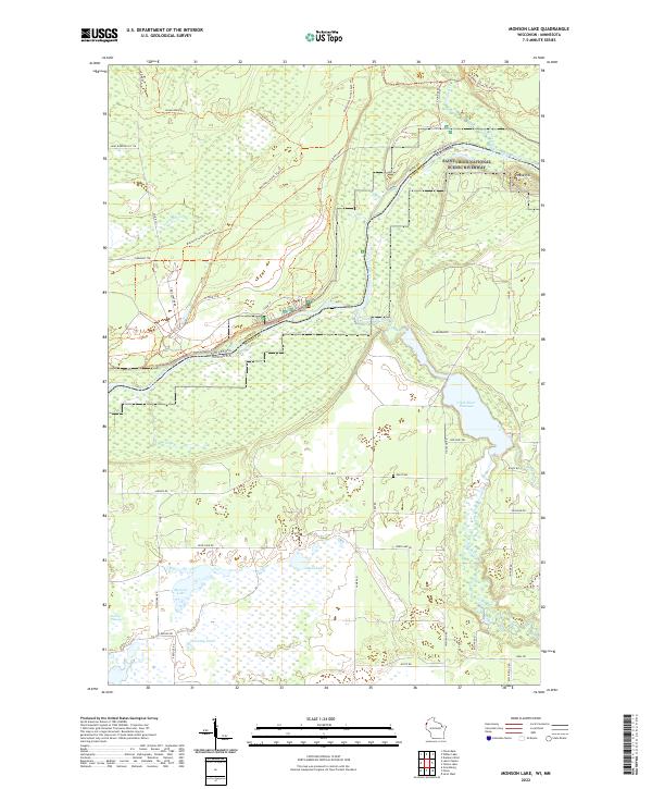 2022 Monson Lake2022 Print · USGSThe Wisconsin-Minnesota border country comes into focus here along the Saint Croix National Scenic Riverway. Genealogists and local historians can locate the Peet Cem and trace the paths of the Clam River and Matthew Lourey State Trl.
 - 2022 Map of Randall, 2022 Print
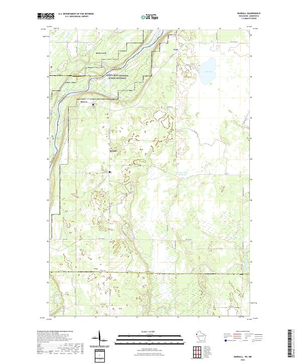 2022 Randall2022 Print · USGSBurnett County, Wisconsin, is captured here in the early 2020s, dominated by the protected corridor of the Saint Croix National Scenic Riverway. Researchers can trace rural lineages through local landmarks like Benson Cem, Pleasant Prairie Cem, and the settlement of Randall.
 - 2022 Map of Foxboro, 2022 Print
 2022 Foxboro2022 Print · USGSThe Wisconsin-Minnesota borderlands come into focus in this contemporary survey of Douglas County’s forested interior. Local historians can trace family locations near Foxboro or Harlis, and locate the Summit Cem tucked between the Gandy Dancer State Trl and Summit Lake.
 - 2022 Map of Danbury East, 2022 Print
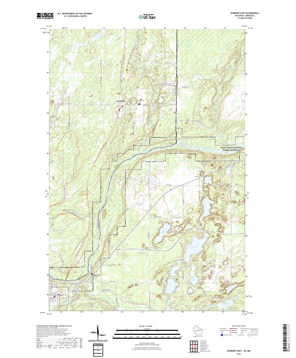 2022 Danbury East2022 Print · USGSThe Wisconsin-Minnesota borderlands are captured here in a period of quiet conservation and rural life. Genealogists can trace family landmarks like Markville Cem and the Danbury Indian Cem, while historians can follow the path of the Gandy Dancer State Trail.
 - 2022 Map of Black Lake, 2022 Print
 2022 Black Lake2022 Print · USGSThe Minnesota-Wisconsin borderlands appear here in the early twenty-first century, showing a landscape shaped by forest trails and winding creeks. Trace the old rail corridor along the Gandy Dancer State Trail near Belden or locate Black Lake in the north.
 - 2022 Map of Danbury West, 2022 Print
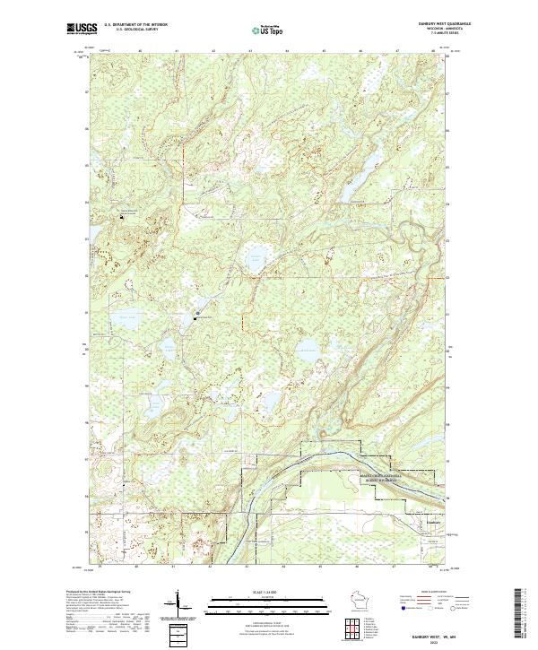 2022 Danbury West2022 Print · USGSThe St. Croix river valley is preserved here in the early twenty-first century as it forms the state line. Genealogists can locate the Native American Burial Grounds, Lena Lake Cem, and Saint Croix Landing.
 - 2022 Map of Yellow Lake, 2022 Print
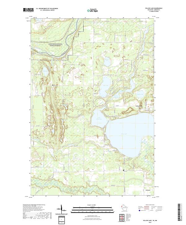 2022 Yellow Lake2022 Print · USGSNorthern Wisconsin lake country and the Minnesota border come alive in this recent survey. Local researchers can trace the shores of Yellow Lake and find ancestral sites at Bluff Lake Cem and Perida Cem.
 - 2022 Map of Grantsburg, 2022 Print
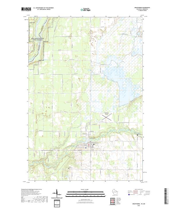 2022 Grantsburg2022 Print · USGSGrantsburg and the Wood River valley are shown here in the 2020s, a landscape defined by expansive northern flowages and the Saint Croix Riverway. Researchers can locate family landmarks like Riverside Cem and Wood River Cem or trace trails around Phantom Lake.
 - 2022 Map of Quamba, 2022 Print
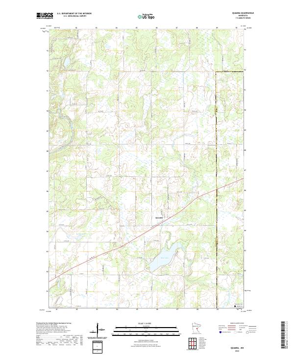 2022 Quamba2022 Print · USGSThe rural landscape of eastern Minnesota is captured here in the early twenty-first century, centered on the settlement of Quamba. Researchers can trace the wetlands and water systems from Mud Lake to the Snake River or locate family sites near Henriette Cem.
 - 2022 Map of Bass Creek, 2022 Print
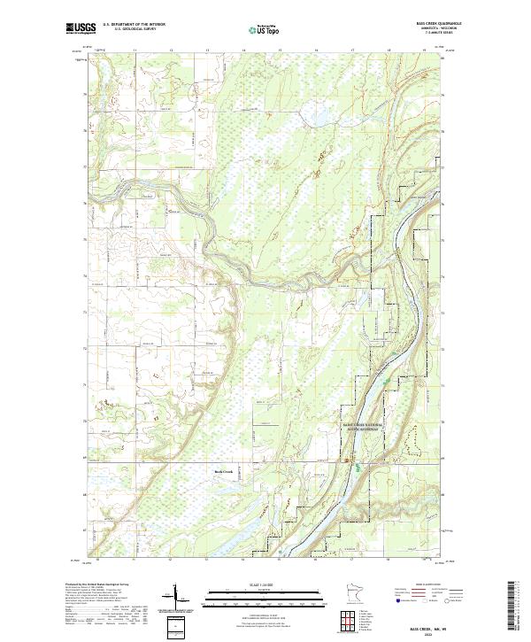 2022 Bass Creek2022 Print · USGSThe Saint Croix River valley in Pine County remains a landscape of protected waterways and forest trails in the early twenty-first century. Genealogists and outdoor historians can trace the paths of the Matthew Lourey State Trl and the winding course of the Snake River past Seven Islands.
 - 2022 Map of Cedar Lake, 2022 Print
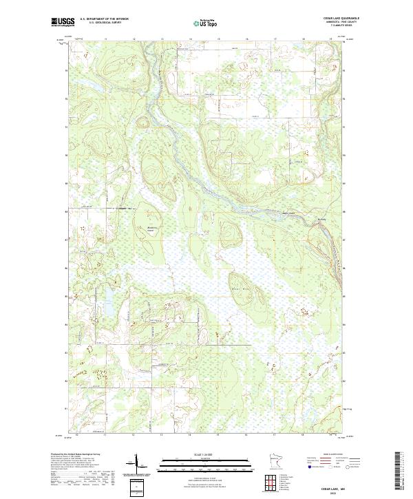 2022 Cedar Lake2022 Print · USGSPine County's river-carved lowlands are captured here in the early twenty-first century as the Kettle River winds through vast wetlands. Local historians can trace the paths of the Matthew Lourey State Trl and find landmarks like Bear Hill and Big Eddy.
 - 2022 Map of Lake Clayton, 2022 Print
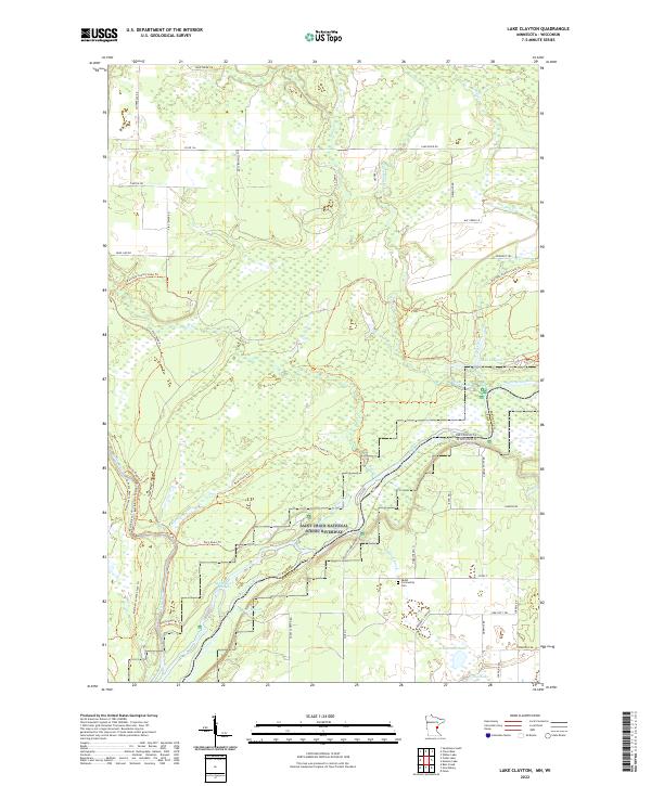 2022 Lake Clayton2022 Print · USGSThe Saint Croix and Kettle rivers converge along the Minnesota and Wisconsin border in this late-twentieth-century study. Genealogists and local historians can locate the Ekdall Community Cem and trace old routes like Nelsons Landing Rd.
 - 2022 Map of Pine City, 2022 Print
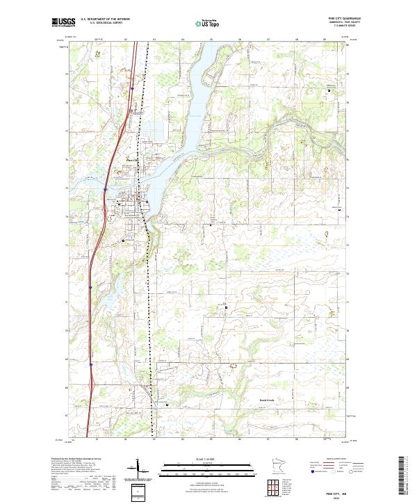 2022 Pine City2022 Print · USGSPine City and the Snake River corridor are captured in this recent survey, showcasing the area's river-driven geography and regional hubs. Genealogists and historians can trace numerous family and community sites like Hustletown Union Cem, Czech National Cem, and Rock Creek Cem.
 - 2022 Map of Braham, 2022 Print
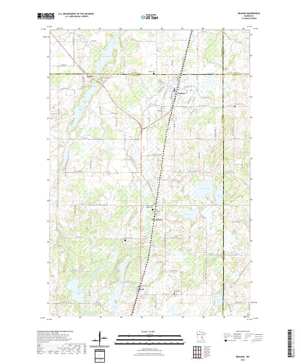 2022 Braham2022 Print · USGSThe borderlands of Isanti and Kanabec counties are captured in this recent survey of eastern Minnesota's lake country. Genealogists can trace family roots through numerous local burial grounds like Rice Lake Cem, Danewood Cem, and the Stanchfield Baptist Cem.
 - 2022 Map of Beroun, 2022 Print
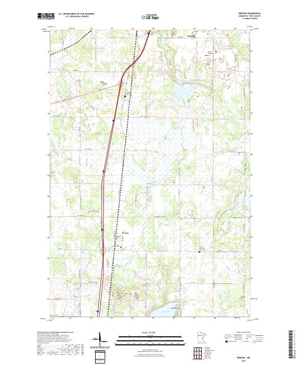 2022 Beroun2022 Print · USGSPine County settlement and transit come to life in this recent study of the area between Hinckley and the southern lakes. Genealogists can trace local roots at the Czech National Cem 1900 and Saint Joseph Cem near the BNSF Railway corridor.
 - 2022 Map of Nickerson, 2022 Print
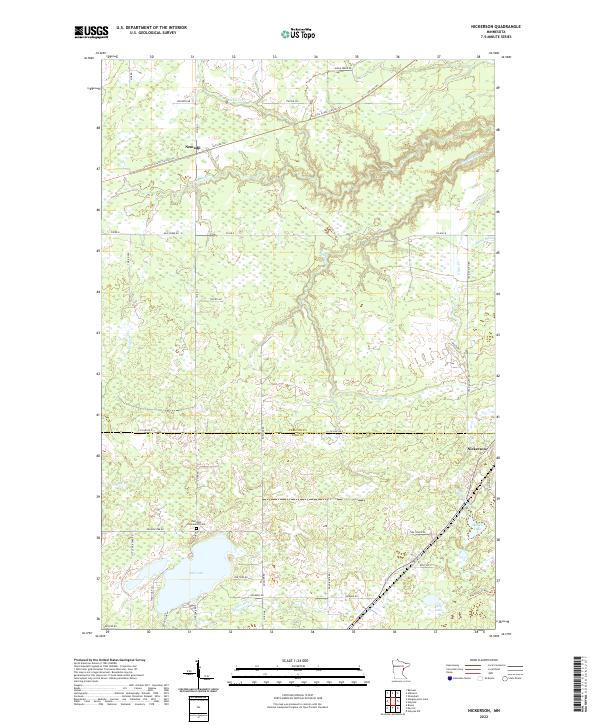 2022 Nickerson2022 Print · USGSThe Carlton and Pine county borderlands come alive in the 2020s through this detailed look at Nemadji and Nickerson. Trace local history at Oak Lake Community Cem or follow the legacy of the rails along Soo Line South: Carlton Trl.
 - 2022 Map of Ronald, 2022 Print
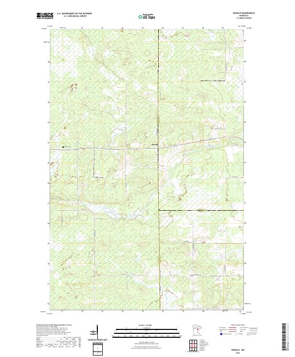 2022 Ronald2022 Print · USGSThe tri-county border area of Aitkin, Carlton, and Pine counties is captured here in the early twenty-first century, showing a landscape shaped by water and woods. Genealogists and local historians can locate Beaver Cem and trace the paths of early travel along Wagon Wheel Rd and Settler Rd.
 - 2022 Map of Bruno, 2022 Print
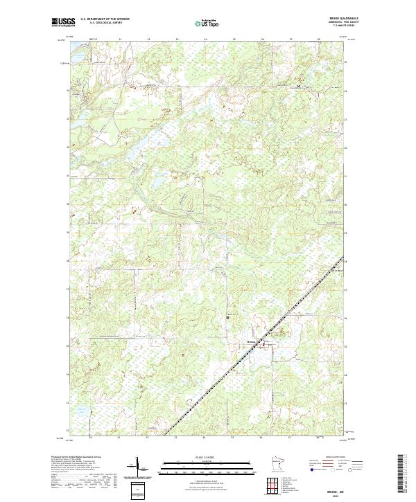 2022 Bruno2022 Print · USGSThe Pine County wetlands and river systems are captured here in the early twenty-first century. Genealogists and local historians can trace family locations near the Bruno Cemetery, Riverside Cemetery, and the banks of the Willow River.
 - 2022 Map of Sandstone North, 2022 Print
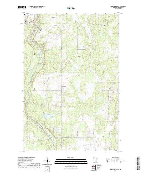
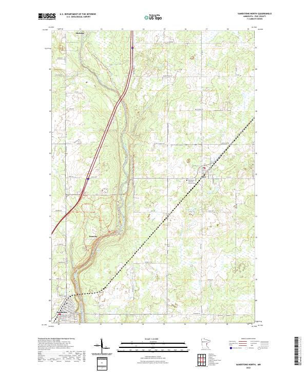 2022 Sandstone North2022 Print · USGSPine County's river-cut landscape is shown in detail during the early twenty-first century, featuring the corridor between the towns of Sandstone and Rutledge. Researchers can trace the winding Kettle River through Banning State Park to find Hell's Gate Rapids and the Bethlehem Lutheran Church Cem.
 - 2022 Map of Ox Creek, 2022 Print
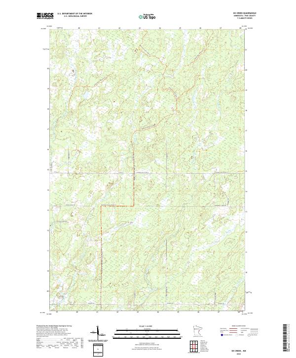 2022 Ox Creek2022 Print · USGSPine County’s wetland and trail networks are meticulously detailed in this recent survey of the Ox Creek area. Researchers can trace historical routes and local drainage along Matthew Lourey State Trl, Ox Cr, and School House Dr.
 - 2022 Map of Hinckley, 2022 Print
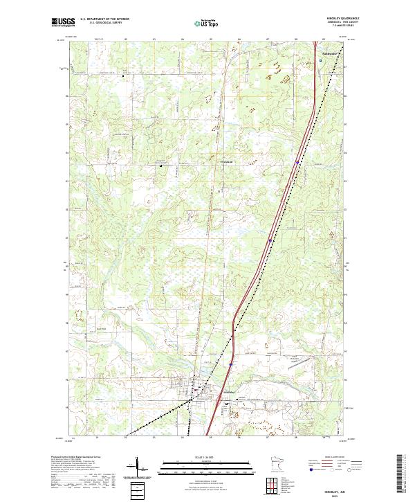 2022 Hinckley2022 Print · USGSPine County's Hinckley and Friesland areas are documented here in the early twenty-first century as the landscape maintains its traditional rural character. Trace local history through sites like Dell Grove Cem, the path of Old Military Rd, and the headwaters of the Grindstone River.
 - 2022 Map of Kettle River, 2022 Print
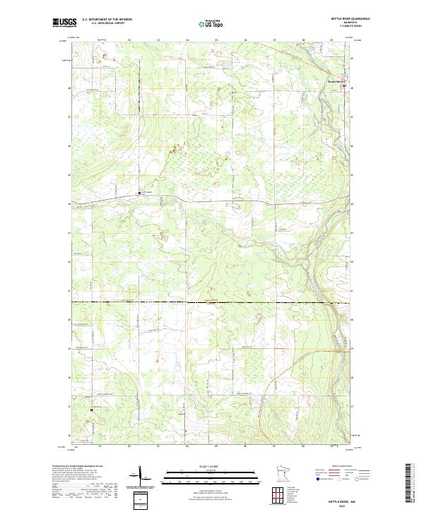 2022 Kettle River2022 Print · USGSThe settlement of Kettle River and its surrounding wetlands are documented here at the intersection of Carlton and Pine counties. Researchers can trace historic family lands along Butkiewicz Rd and follow the route of the Soo Line North: Carlton Trl.
 - 2022 Map of Finlayson, 2022 Print
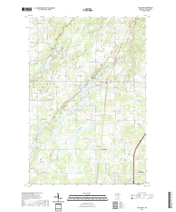 2022 Finlayson2022 Print · USGSPine County’s glacial landscape is captured here in the early twenty-first century, showing the enduring rural layout of the region. Genealogists can trace family footprints through the Finnish Lutheran Cem and local names like Koski Farm or Pahkala Rd.
 - 2022 Map of Sandstone South, 2022 Print
 2022 Sandstone South2022 Print · USGSPine County’s river-carved landscape is shown here in the early 2020s, anchored by the city of Sandstone and the banks of the Kettle River. Genealogists and historians can trace old transit corridors like the Old Military Rd and Old Government Rd or locate Spring Park Cem.
 - 2022 Map of Cloverton, 2022 Print
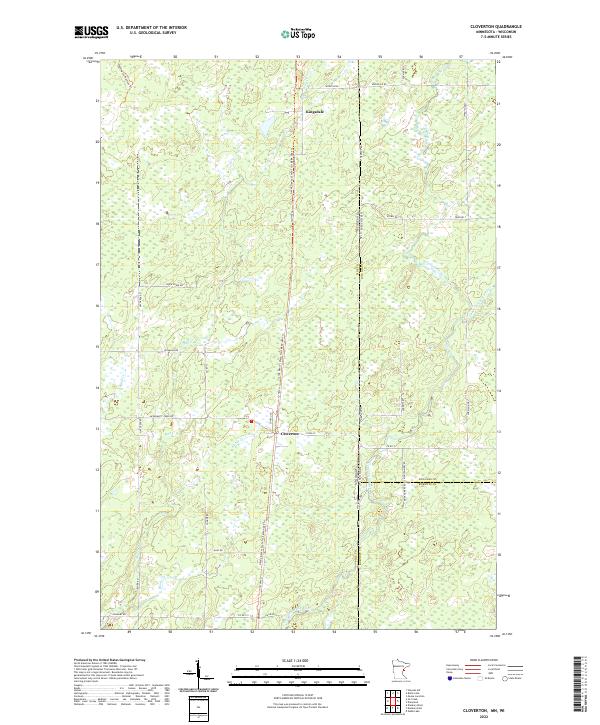 2022 Cloverton2022 Print · USGSSmall border settlements near the Minnesota and Wisconsin line emerge in this contemporary study of Pine County. Researchers can trace the legacy of local transport along the Gandy Dancer State Trail and the waterways of Hay Cr and Cloverton.
Showing maps 1-25 of 44
Top cities of Pine County
- Pine City historical maps
- Sandstone historical maps
- Hinckley historical maps
- Rock Creek historical maps
- Willow River historical maps
- Sturgeon Lake historical maps
See more
Frequently asked questions
- What are the different types of historical maps available for Pine County?
- What is the oldest map of Pine County?
- Where can I purchase historical maps of Pine County for my home or office?
- Where can I download high-res historical maps of Pine County?
- Are there historical topographic maps available for Pine County?
- Is there historical aerial imagery available for Pine County?
- Where are historical maps of Pine County sourced from?