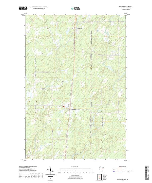
2022 Map of Cloverton
USGS Topo · Published 2022About this map
Cloverton and Kingsdale stand as small hubs within a landscape defined by the drainage of the Upper Tamarack River and the winding course of the Spruce River. Situated on the border between Minnesota and Wisconsin, this area shows a transition from structured road networks like Swedish Hwy and Duxbury Rd into the expansive wetlands and creek beds of Hay Cr and Bjorks Cr. The Gandy Dancer State Trail follows a distinctive north-south path through the center of the sheet, tracing a historic transportation corridor that now serves as a recreational artery through the timber and marshlands of Pine County. The naming of local routes such as Rutabaga Rd and McDermott Creek RD hints at the agricultural and logging history that once dominated this borderland territory.
Find a feature on this map
32 named features on this map. Tap any name to fly to it.
Don’t see what you’re looking for? This feature index may not catch every label — zoom into the map to look around manually.
Map Details
Editions of this 2022 Cloverton Map
This is the sole edition of this map. No revisions or reprints were ever made.
Other maps of this area

1949 · Danbury
USGS Topo · 1:48,000

1949 · Holyoke
USGS Topo · 1:48,000

1949 · Webb Lake
USGS Topo · 1:48,000

1949 · Patzau
USGS Topo · 1:48,000

1953 · Duluth
USGS Topo · 1:250,000

1955 · Webb Lake
USGS Topo · 1:62,500

1955 · Patzau
USGS Topo · 1:62,500

1958 · Duluth
USGS Topo · 1:250,000

1962 · Holyoke
USGS Topo · 1:62,500

1962 · Danbury
USGS Topo · 1:62,500