Old Maps of Crookston, Minnesota for Genealogy
Trace your family roots with 24 historic maps of Crookston. These high-res maps reveal old neighborhoods, homesites, landmarks, and streets — helping you uncover where your ancestors lived and how the area evolved over time.
- Explore historic neighborhoods: Identify where your relatives may have lived in the 1800s or 1900s.
- Compare maps over time: Trace the changes in streets, buildings, and landmarks for multi-generational research.
- Perfect for genealogy & ancestry research: Used by family historians and researchers to map out lineage and migration.
These maps are an incredible resource for exploring your personal connection to Crookston's past.
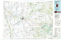
Crookston, MN maps
(24)- 1919 Map of Beltrami, 1944 Print
 1919 Beltrami1944 Print · USGSPolk County at the close of the Great War was a landscape defined by the grain trade and a vast new network of drainage ditches. Researchers can trace the rail-side growth of Beltrami and Girard, locating early schools and grain terminals like the Russia Elevator.
 - 1952 Map of Grand Forks, 1967 Print
 1952 Grand Forks1967 Print · USGSThe Red River Valley in the early fifties is shown here at the height of its rail-and-river agricultural economy. Researchers can locate small-town landmarks like the Pleasant View School, the Immanuel Lutheran Church, and trace the path of the Soo Line Railroad.3 unique versions available
 - 1953 Map of Crookston, 1955 Print
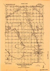
 1953 Crookston1955 Print · USGSMid-century Polk County is captured here as a bustling agricultural and institutional center centered on the winding Red Lake River. Researchers can trace the heritage of local institutions like Mt St Benedict Academy or locate family sites near Euclid and Hixon Station.
 - 1956 Map of Grand Forks
 1956 Grand Forks1956 Print · USGSThe Red River Valley in the mid-fifties is captured here as a thriving corridor of grain elevators and rail-linked towns along the North Dakota and Minnesota border. Researchers can trace historic church sites like Immanuel Lutheran Church, vanished rail stops at Tilde Junction, and the boundaries of the White Earth Indian Reservation.
 - 1964 Map of Girard, 1965 Print
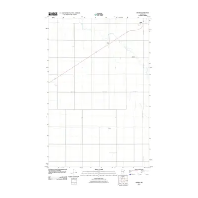
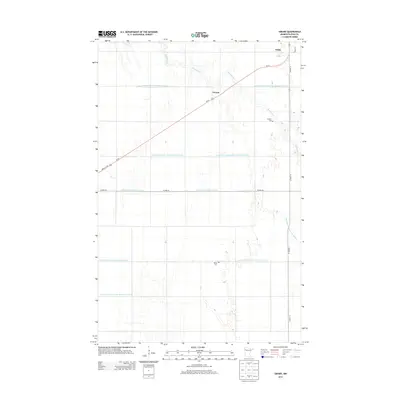
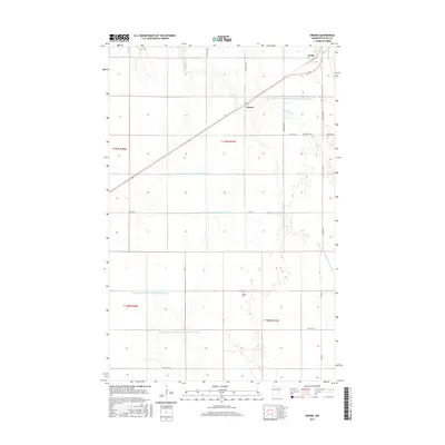
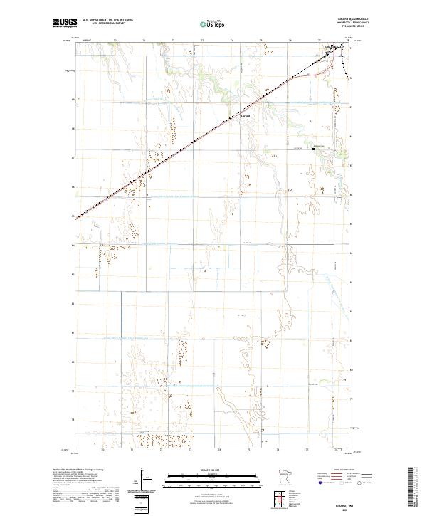
 1964 Girard1965 Print · USGSPolk County at the start of the 1960s shows a landscape defined by industrial agriculture and the steel of the Great Northern railroad. Genealogists and local historians can trace the precise location of family plots at Andover Cem and Hanna Cem or find early settlements like Girard and Wilds.2 unique versions available
 - 1966 Map of Grand Forks
 1966 Grand Forks1966 Print · USGSThe Red River Valley in the mid-sixties shows a landscape shaped by rail-line commerce and complex water management. Genealogists and historians can trace rail-side towns like Emerado and Hunter or locate rural landmarks like the Pleasant View Church.
 - 1982 Map of Crookston
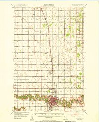
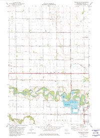
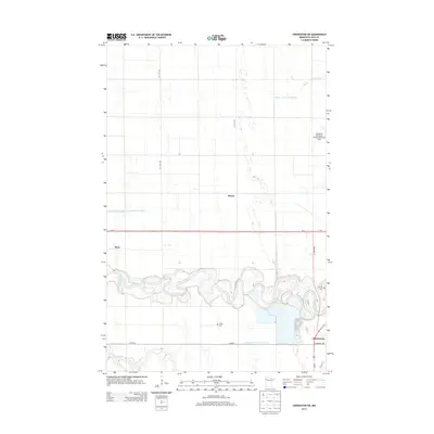
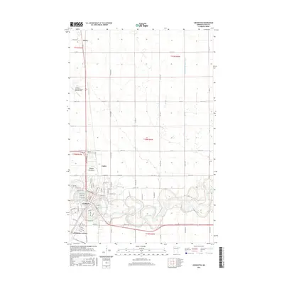
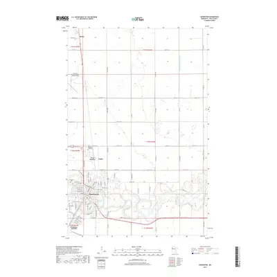
 1982 Crookston1982 Print · USGSCrookston is shown at a peak of its twentieth-century development, where the Red Lake River meets a critical rail network. Trace family roots and local industry through the Burlington Northern lines and the settlements of Shirley and Carman.
 - 1982 Map of Crookston SW
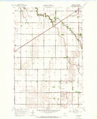
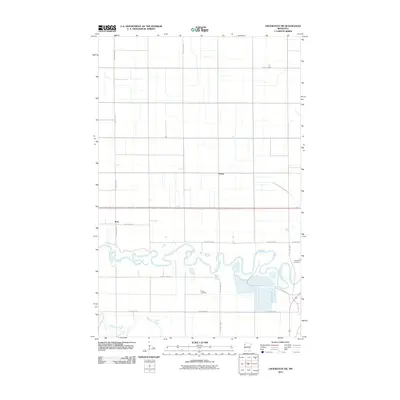
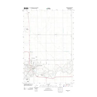
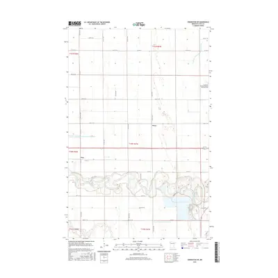
 1982 Crookston SW1982 Print · USGSThe fertile Red River Valley landscape south of Crookston is shown here in the early eighties as a complex network of rail and river commerce. Genealogists and local historians can locate Union Cem, trace the Burlington Northern tracks through Hixon Station, and map the winding oxbows of the Red Lake River.
 - 1984 Map of Crookston, 1985 Print
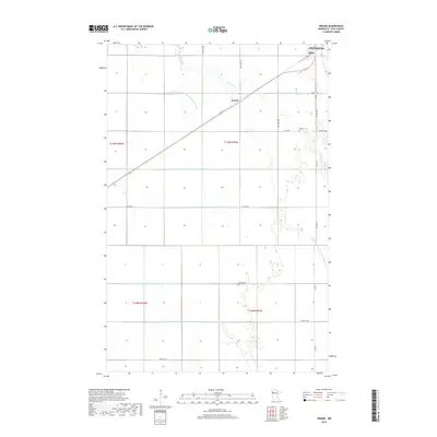
 1984 Crookston1985 Print · USGSNorthwest Minnesota at the peak of the mid-eighties reveals a landscape of fertile valley plains and conservation lands tied together by rail. Genealogists and historians can trace the local rail networks of the Soo Line Railroad and Burlington Northern Railroad through regional hubs like Crookston and Red Lake Falls.2 unique versions available
 - 2010 Map of Crookston, 2010 Print
 2010 Crookston2010 Print · USGSCovers Crookston, including Shirley, Forest Knolls Estates, and other nearby areas
 - 2010 Map of Crookston SW, 2010 Print
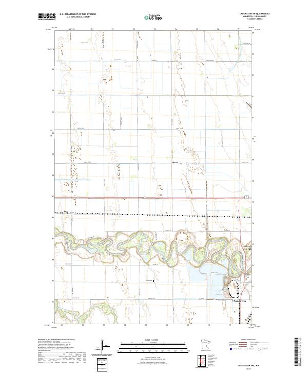
 2010 Crookston SW2010 Print · USGSCovers Crookston, including Ross, Hixon, and other nearby areas
 - 2010 Map of Girard, 2010 Print
 2010 Girard2010 Print · USGSCovers Crookston, including Wilds, Girard, and other nearby areas
 - 2013 Map of Crookston SW, 2013 Print
 2013 Crookston SW2013 Print · USGSCovers Crookston, including Ross, Hixon, and other nearby areas
 - 2013 Map of Crookston, 2013 Print
 2013 Crookston2013 Print · USGSCovers Crookston, including Shirley, Forest Knolls Estates, and other nearby areas
 - 2013 Map of Girard, 2013 Print
 2013 Girard2013 Print · USGSCovers Crookston, including Wilds, Girard, and other nearby areas
 - 2016 Map of Crookston, 2016 Print
 2016 Crookston2016 Print · USGSCovers Crookston, including Shirley, Forest Knolls Estates, and other nearby areas
 - 2016 Map of Girard, 2016 Print
 2016 Girard2016 Print · USGSCovers Crookston, including Wilds, Girard, and other nearby areas
 - 2016 Map of Crookston SW, 2016 Print
 2016 Crookston SW2016 Print · USGSCovers Crookston, including Ross, Hixon, and other nearby areas
 - 2019 Map of Crookston SW, 2019 Print
 2019 Crookston SW2019 Print · USGSCovers Crookston, including Ross, Hixon, and other nearby areas
 - 2019 Map of Girard, 2019 Print
 2019 Girard2019 Print · USGSCovers Crookston, including Wilds, Girard, and other nearby areas
 - 2019 Map of Crookston, 2019 Print
 2019 Crookston2019 Print · USGSCovers Crookston, including Shirley, Forest Knolls Estates, and other nearby areas
 - 2022 Map of Girard, 2022 Print
 2022 Girard2022 Print · USGSPolk County agriculture and drainage patterns are on full display in this recent survey of the Minnesota prairie. Genealogists and local historians can trace the grid of section roads to find Andover Cem or the small settlements of Wilds and Girard.
 - 2022 Map of Crookston SW, 2022 Print
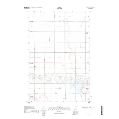
 2022 Crookston SW2022 Print · USGSIn the Red River Valley during the early 2020s, this area west of the county seat shows a landscape of precision agriculture and river bends. Researchers can trace the winding Red Lake River past Calvary Cem, Union Cem, and the small siding at Hixon.
 - 2022 Map of Crookston, 2022 Print
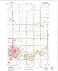
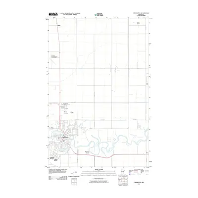
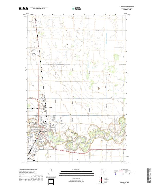 2022 Crookston2022 Print · USGSThe Red River Valley's agricultural and academic heart at Crookston is documented here in the early twenty-first century. Researchers can trace the city’s expansion near the University of Minnesota Crookston and locate outlying points like Shirley and Oakdale Cem.
End of results
Showing maps 1-24 of 24
Top cities near Crookston
- Fisher historical maps
- Gentilly historical maps
- Climax historical maps
- Euclid historical maps
- Beltrami historical maps
Top neighborhoods of Crookston
- Forest Knolls Estates historical maps
- Noyes Junction historical maps
- Carman Terrace historical maps
- Crookston Junction historical maps
Frequently asked questions
- What are the different types of historical maps available for Crookston?
- What is the oldest map of Crookston?
- Where can I purchase historical maps of Crookston for my home or office?
- Where can I download high-res historical maps of Crookston?
- Are there historical topographic maps available for Crookston?
- Is there historical aerial imagery available for Crookston?
- Where are historical maps of Crookston sourced from?