2000s (21st Century) Maps of Fosston, Minnesota
Explore 10 historic maps of Fosston from the 2000s (21st Century). These maps offer a rare glimpse into what life looked like during the 2000s — showing old roads, neighborhoods, homes, and landmarks that have changed or disappeared over time.
Whether you're researching your family's past, planning a metal detecting trip, or studying how Fosston's landscape evolved across the 2000s, these high-resolution maps are a powerful tool for exploring the history of this region.
- Focus on a specific era: All maps on this page are from the 2000s, giving you a focused view of this time period.
- See what’s changed: Compare century-old streets, trails, and buildings to today's modern landscape using overlays and satellite layers.
- Research with precision: Use these maps for genealogy, historical research, land use analysis, or educational projects.
- View, download, or print: Maps are fully viewable online in high resolution, and can be downloaded or printed for your own records.
Start exploring Fosston's history through authentic maps from the 2000s. This is your window into the past.
Fosston, MN maps
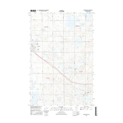
(10)- 2010 Map of Fosston East, 2010 Print
 2010 Fosston East2010 Print · USGSCovers Fosston, including Lengby, Countryside Mobile Home Park, and other nearby areas
 - 2010 Map of Fosston West, 2010 Print
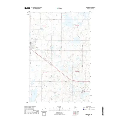
 2010 Fosston West2010 Print · USGSCovers Fosston, including West View Court, Polk County, and other nearby areas
 - 2013 Map of Fosston East, 2013 Print
 2013 Fosston East2013 Print · USGSCovers Fosston, including Lengby, Countryside Mobile Home Park, and other nearby areas
 - 2013 Map of Fosston West, 2013 Print
 2013 Fosston West2013 Print · USGSCovers Fosston, including West View Court, Polk County, and other nearby areas
 - 2016 Map of Fosston West, 2016 Print
 2016 Fosston West2016 Print · USGSCovers Fosston, including West View Court, Polk County, and other nearby areas
 - 2016 Map of Fosston East, 2016 Print
 2016 Fosston East2016 Print · USGSCovers Fosston, including Lengby, Countryside Mobile Home Park, and other nearby areas
 - 2019 Map of Fosston East, 2019 Print
 2019 Fosston East2019 Print · USGSCovers Fosston, including Lengby, Countryside Mobile Home Park, and other nearby areas
 - 2019 Map of Fosston West, 2019 Print
 2019 Fosston West2019 Print · USGSCovers Fosston, including West View Court, Polk County, and other nearby areas
 - 2022 Map of Fosston East, 2022 Print
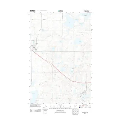
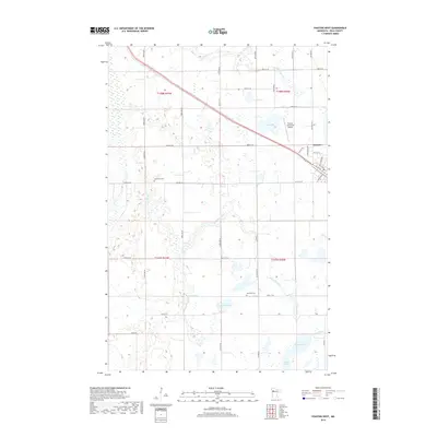
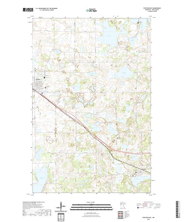 2022 Fosston East2022 Print · USGSEastern Polk County is documented here during the early twenty-first century, showing the lake-heavy landscape between Fosston and Lengby. Genealogists can locate several historic burial sites, such as Rosehill Cem, Poplar River Cem, and Cross Lake Cem.
 - 2022 Map of Fosston West, 2022 Print
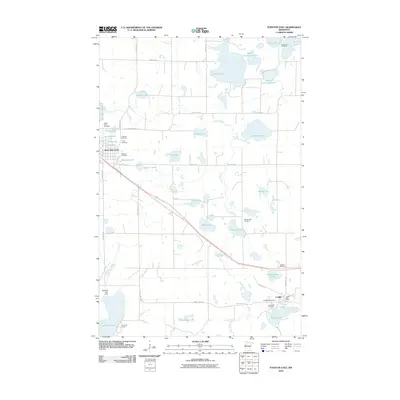
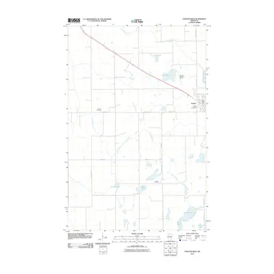
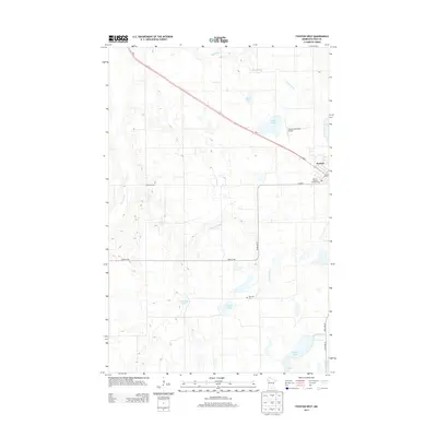
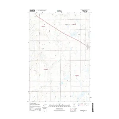
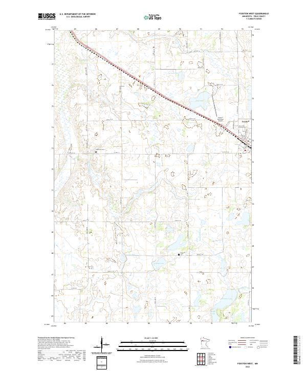 2022 Fosston West2022 Print · USGSWestern Polk County comes into focus in the early twenty-first century, showing the prairie-and-wetland geography around Fosston. Family historians can trace local roots at Landsverk Cem and Hansville Cem or follow the winding path of the Sand Hill River.
End of results
Showing maps 1-10 of 10
Top cities near Fosston
- McIntosh historical maps
- Winger historical maps
- Gully historical maps
- Bejou historical maps
- Lengby historical maps
- Trail historical maps
Top neighborhoods of Fosston
Frequently asked questions
- What are the different types of historical maps available for Fosston?
- What is the oldest map of Fosston?
- Where can I purchase historical maps of Fosston for my home or office?
- Where can I download high-res historical maps of Fosston?
- Are there historical topographic maps available for Fosston?
- Is there historical aerial imagery available for Fosston?
- Where are historical maps of Fosston sourced from?