Old Maps of Fosston, Minnesota for Metal Detecting
Plan your next treasure hunt with 17 historic maps of Fosston. Find old homesites, ghost towns, trails, and gathering spots that may be lost to time — perfect for identifying promising metal detecting locations.
- Locate forgotten sites: Uncover places like long-lost settlements, abandoned rail lines, or gathering spots.
- Plan better hunts: Use map overlays combined with LiDAR or satellite views to narrow in on historically rich areas.
- Made for detectorists: Thousands of hobbyists use these maps to discover relics, coins, and hidden history.
Use these historic maps to boost your research and find new opportunities beneath the surface of Fosston.
Fosston, MN maps
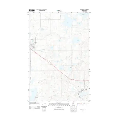
(17)- 1919 Map of Fosston
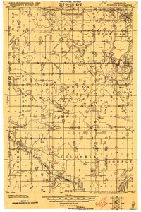 1919 Fosston1919 Print · USGSNorthwest Minnesota at the end of the Great War shows a landscape being actively reshaped by drainage ditches and railroad expansion. Genealogists can trace family footprints in Fosston, Lengby, and Gonvick, or locate rural landmarks like Turtle Lake 30 and Cross Lake.
 - 1954 Map of Bemidji, 1966 Print
 1954 Bemidji1966 Print · USGSNorthern Minnesota's lake country and timberlands are captured here at a mid-century peak of rail and road expansion. Genealogists and historians can trace family roots through numerous small settlements like Mahnomen, Clearbrook, and Walker, while locating local landmarks such as White Earth Church.4 unique versions available
 - 1957 Map of Bemidji
 1957 Bemidji1957 Print · USGSNorthern Minnesota in the mid-fifties is defined by its massive lake systems and the sprawling timberlands of the Chippewa National Forest. Genealogists and researchers can trace old rail lines like the Great Northern RR and locate settlements such as Moberg, Naytahwaush, and Lake Itasca.
 - 1958 Map of Bemidji
 1958 Bemidji1958 Print · USGSNorthern Minnesota in the late fifties is a vast landscape of tribal lands and timber forests tied together by rail. Genealogists and researchers can trace old rail stops and lakeside communities from Walker to Fosston, or explore the source of the Mississippi at Lake Itasca.
 - 1969 Map of Fosston East, 1971 Print
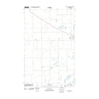
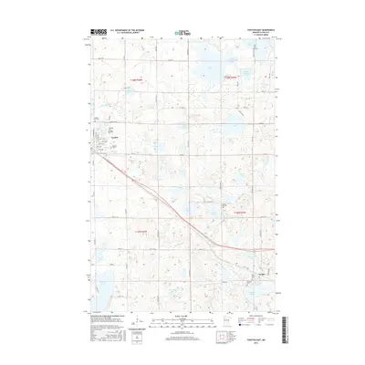
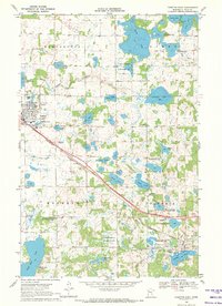 1969 Fosston East1971 Print · USGSThe railroad towns of Fosston and Lengby anchor this late-sixties survey of Polk County's lake-rich landscape. Genealogists and historians can trace numerous rural landmarks, from Kingo Cem and Landstad Cem to the Poplar Lake Ch and the old Burlington Northern line.
 - 1969 Map of Fosston West, 1971 Print
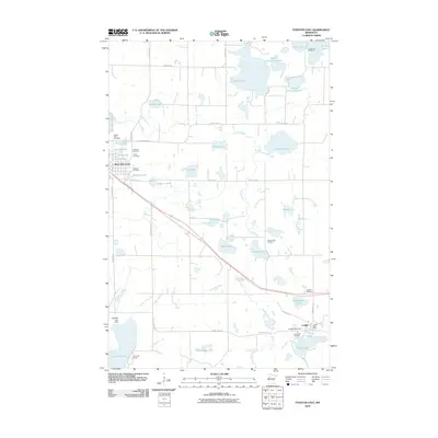
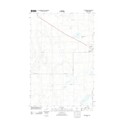
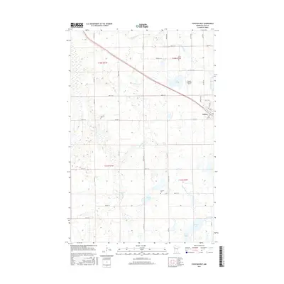
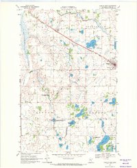 1969 Fosston West1971 Print · USGSFosston and the surrounding prairie-pothole country of Polk County are shown in detail during the transition to the 1970s. Genealogists and local historians can trace rural landmarks like the Hansville Cemetery or follow the Burlington Northern tracks past the Drive-in Theater.2 unique versions available
 - 1985 Map of Fosston
 1985 Fosston1985 Print · USGSNorthern Minnesota's lake country and timberlands are captured here in the mid-eighties, from the shores of Lower Red Lake to the Mississippi Headwaters State Forest. Genealogists and local historians can trace rail-town development along the Burlington Northern line through Fosston, Bagley, and McIntosh.2 unique versions available
 - 2010 Map of Fosston East, 2010 Print
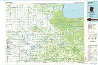
 2010 Fosston East2010 Print · USGSCovers Fosston, including Lengby, Countryside Mobile Home Park, and other nearby areas
 - 2010 Map of Fosston West, 2010 Print
 2010 Fosston West2010 Print · USGSCovers Fosston, including West View Court, Polk County, and other nearby areas
 - 2013 Map of Fosston East, 2013 Print
 2013 Fosston East2013 Print · USGSCovers Fosston, including Lengby, Countryside Mobile Home Park, and other nearby areas
 - 2013 Map of Fosston West, 2013 Print
 2013 Fosston West2013 Print · USGSCovers Fosston, including West View Court, Polk County, and other nearby areas
 - 2016 Map of Fosston West, 2016 Print
 2016 Fosston West2016 Print · USGSCovers Fosston, including West View Court, Polk County, and other nearby areas
 - 2016 Map of Fosston East, 2016 Print
 2016 Fosston East2016 Print · USGSCovers Fosston, including Lengby, Countryside Mobile Home Park, and other nearby areas
 - 2019 Map of Fosston East, 2019 Print
 2019 Fosston East2019 Print · USGSCovers Fosston, including Lengby, Countryside Mobile Home Park, and other nearby areas
 - 2019 Map of Fosston West, 2019 Print
 2019 Fosston West2019 Print · USGSCovers Fosston, including West View Court, Polk County, and other nearby areas
 - 2022 Map of Fosston East, 2022 Print
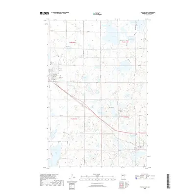
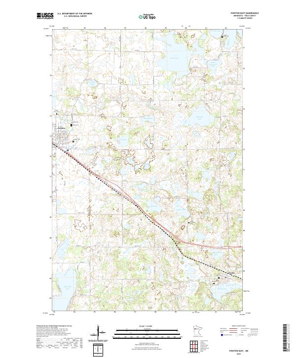 2022 Fosston East2022 Print · USGSEastern Polk County is documented here during the early twenty-first century, showing the lake-heavy landscape between Fosston and Lengby. Genealogists can locate several historic burial sites, such as Rosehill Cem, Poplar River Cem, and Cross Lake Cem.
 - 2022 Map of Fosston West, 2022 Print
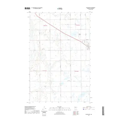
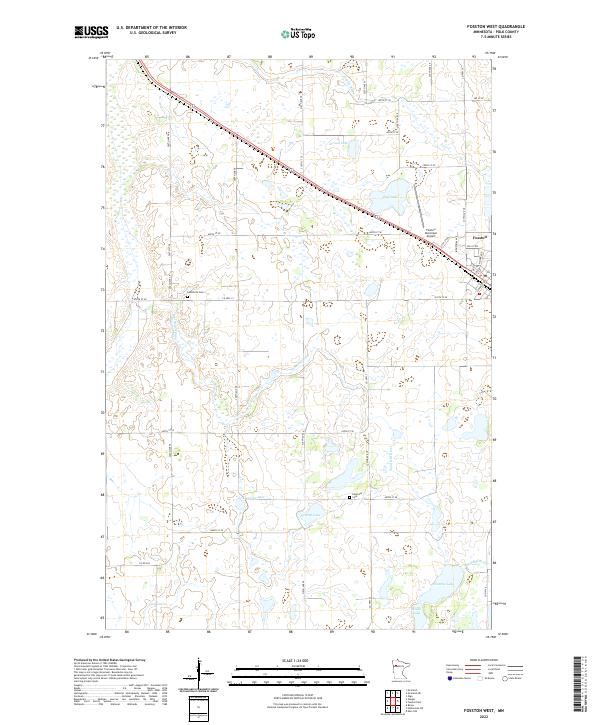 2022 Fosston West2022 Print · USGSWestern Polk County comes into focus in the early twenty-first century, showing the prairie-and-wetland geography around Fosston. Family historians can trace local roots at Landsverk Cem and Hansville Cem or follow the winding path of the Sand Hill River.
End of results
Showing maps 1-17 of 17
Top cities near Fosston
- McIntosh historical maps
- Winger historical maps
- Gully historical maps
- Bejou historical maps
- Lengby historical maps
- Trail historical maps
Top neighborhoods of Fosston
Frequently asked questions
- What are the different types of historical maps available for Fosston?
- What is the oldest map of Fosston?
- Where can I purchase historical maps of Fosston for my home or office?
- Where can I download high-res historical maps of Fosston?
- Are there historical topographic maps available for Fosston?
- Is there historical aerial imagery available for Fosston?
- Where are historical maps of Fosston sourced from?