Old Maps of Red Lake County, Minnesota for Metal Detecting
Plan your next treasure hunt with 97 historic maps of Red Lake County. Find old homesites, ghost towns, trails, and gathering spots that may be lost to time — perfect for identifying promising metal detecting locations.
- Locate forgotten sites: Uncover places like long-lost settlements, abandoned rail lines, or gathering spots.
- Plan better hunts: Use map overlays combined with LiDAR or satellite views to narrow in on historically rich areas.
- Made for detectorists: Thousands of hobbyists use these maps to discover relics, coins, and hidden history.
Use these historic maps to boost your research and find new opportunities beneath the surface of Red Lake County.
Red Lake County, MN maps
(97)- 1918 Map of Terrebonne
 1918 Terrebonne1918 Print · USGSNorthern Minnesota's river valleys and rail corridors are captured here just after the Great War. Genealogists and local historians can trace the early drainage systems and rail stops at Plummer, Terrebonne, and Brooks.2 unique versions available
 - 1918 Map of Red Lake Falls
 1918 Red Lake Falls1918 Print · USGSRed Lake County and eastern Polk County are captured here during the first World War as the regional rail network neared its peak. Researchers can trace the early footprints of Red Lake Falls, the winding Red Lake River, and smaller stops like Huot and Gentilly.
 - 1919 Map of Grit
 1919 Grit1919 Print · USGSRed Lake and Polk counties are shown here at the close of the Great War, as drainage projects reshaped the marshy landscape. Genealogists can trace family roots through small settlements like Oklee, Brooks Station, and Lambert, or locate rural School sites and the Old Red Lake Indian Reservation Boundary Line.
 - 1919 Map of Winsor
 1919 Winsor1919 Print · USGSNorthern Minnesota's prairie and marshland appear here just after the Great War, during a period of massive drainage and rail expansion. Researchers can trace early rural life through labels for Winsor, the Red Lake Indian Reservation Trail, and the Minneapolis St. Paul and Sault Saint Marie railroad.2 unique versions available
 - 1952 Map of Red Lake Falls, 1954 Print
 1952 Red Lake Falls1954 Print · USGSRed Lake Falls and the surrounding fertile prairies are shown here in the early fifties, just as the local rail-and-river economy was shifting. Genealogists can trace family footprints through numerous rural landmarks like Evangelical Ch, Marcoux Corners, and the Prairie Queen Sch.
 - 1952 Map of Grand Forks, 1967 Print
 1952 Grand Forks1967 Print · USGSThe Red River Valley in the early fifties is shown here at the height of its rail-and-river agricultural economy. Researchers can locate small-town landmarks like the Pleasant View School, the Immanuel Lutheran Church, and trace the path of the Soo Line Railroad.3 unique versions available
 - 1954 Map of Bemidji, 1966 Print
 1954 Bemidji1966 Print · USGSNorthern Minnesota's lake country and timberlands are captured here at a mid-century peak of rail and road expansion. Genealogists and historians can trace family roots through numerous small settlements like Mahnomen, Clearbrook, and Walker, while locating local landmarks such as White Earth Church.4 unique versions available
 - 1956 Map of Grand Forks
 1956 Grand Forks1956 Print · USGSThe Red River Valley in the mid-fifties is captured here as a thriving corridor of grain elevators and rail-linked towns along the North Dakota and Minnesota border. Researchers can trace historic church sites like Immanuel Lutheran Church, vanished rail stops at Tilde Junction, and the boundaries of the White Earth Indian Reservation.
 - 1957 Map of Bemidji
 1957 Bemidji1957 Print · USGSNorthern Minnesota in the mid-fifties is defined by its massive lake systems and the sprawling timberlands of the Chippewa National Forest. Genealogists and researchers can trace old rail lines like the Great Northern RR and locate settlements such as Moberg, Naytahwaush, and Lake Itasca.
 - 1958 Map of Bemidji
 1958 Bemidji1958 Print · USGSNorthern Minnesota in the late fifties is a vast landscape of tribal lands and timber forests tied together by rail. Genealogists and researchers can trace old rail stops and lakeside communities from Walker to Fosston, or explore the source of the Mississippi at Lake Itasca.
 - 1964 Map of Plummer NW, 1965 Print
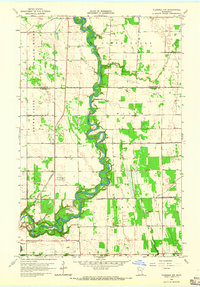 1964 Plummer NW1965 Print · USGSNorthwestern Minnesota's riverine borderlands are captured here in the mid-sixties, showing the intersection of the Red Lake and Black Rivers. Local historians can locate the St Josephs Cem, the Red Lake Falls Municipal Airport, and numerous rural Townhall sites.2 unique versions available
 - 1964 Map of Terrebonne, 1965 Print
 1964 Terrebonne1965 Print · USGSRed Lake County in the mid-1960s is defined by the winding Clearwater River and the rural agricultural community of Terrebonne. Researchers can trace old property boundaries via field lines or locate local landmarks like the Beau Gerlot Sch and Oak Grove Cem.
 - 1964 Map of Plummer, 1965 Print
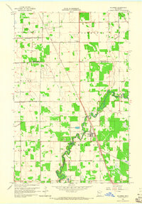 1964 Plummer1965 Print · USGSRed Lake County was a landscape of rail and river in the mid-1960s, defined by the winding Clearwater River. Genealogists and local historians can trace the foundations of Plummer and find family sites at Clara Ch Cem or St Vincent De Paul Cem.
 - 1964 Map of Brooks, 1965 Print
 1964 Brooks1965 Print · USGSNorthern Minnesota prairie and river bottomlands are captured here in the mid-sixties, centered on the village of Brooks. Researchers can trace the SOO LINE rail corridor and locate rural landmarks like the local Cem or the winding Poplar River.
 - 1966 Map of Grand Forks
 1966 Grand Forks1966 Print · USGSThe Red River Valley in the mid-sixties shows a landscape shaped by rail-line commerce and complex water management. Genealogists and historians can trace rail-side towns like Emerado and Hunter or locate rural landmarks like the Pleasant View Church.
 - 1971 Map of Oklee, 1976 Print
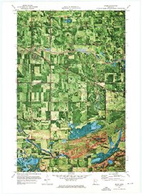 1971 Oklee1976 Print · USGSIn the early seventies, the Red Lake and Polk County borderlands were defined by the village of Oklee and its sprawling network of drainage canals. Trace the paths of the Soo Line and Hill River, and locate family sites like Zion Cem or St Francis Xavier Cem.
 - 1971 Map of Roland, 1976 Print
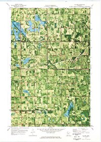 1971 Roland1976 Print · USGSRed Lake and Pennington counties are captured here in the early seventies, showing a landscape defined by the winding Clearwater River and local farmsteads. Genealogists can trace family footprints near Salem Ch, the small settlement of Roland, or the local Townhall.
 - 1971 Map of Oklee SW, 1976 Print
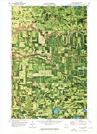 1971 Oklee SW1976 Print · USGSRed Lake County enters the 1970s as a productive agricultural landscape defined by meandering riverbanks and rail-line hubs. Trace old homesteads and landmarks like the Oklee Racetrack, the Soo Line railroad, and the St Francis Xavier Cem.
 - 1972 Map of Gully NW, 1976 Print
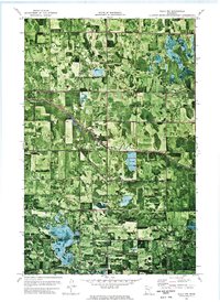 1972 Gully NW1976 Print · USGSPennington County and its neighbors are seen here in the early 1970s, showing a landscape shaped by drainage ditches and timbered parklands. Local historians can locate the Bethany Ch, the community Townhall, and the engineered paths of Judicial Ditch No 3.
 - 1972 Map of Trail, 1976 Print
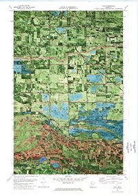 1972 Trail1976 Print · USGSThe border of Polk and Red Lake Counties comes into focus in the early 1970s, showing a landscape of drainage ditches and conservation areas. Researchers can locate St Charles Ch, the Mt Olive Cem, and traces of the Indian Reservation Line near the village of Trail.
 - 1972 Map of Oklee NW, 1976 Print
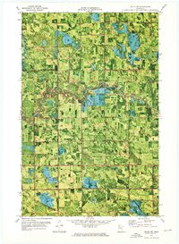 1972 Oklee NW1976 Print · USGSRed Lake and Pennington counties are shown in the early 1970s as agricultural drainage projects and the Soo Line railroad defined the rural landscape. Local historians can trace the Indian Reservation Boundary and locate landmarks like the Finnish Cem and Ebenezer Ch.
 - 1982 Map of Gentilly
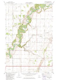 1982 Gentilly1982 Print · USGSPolk County in the early 1980s reveals a landscape defined by the tight oxbows of the Red Lake River. Genealogists and local historians can locate rural landmarks like St Peters Ch, Huot Cem, and the Old Crossing Treaty State Wayside Park.
 - 1982 Map of Marcoux Corners
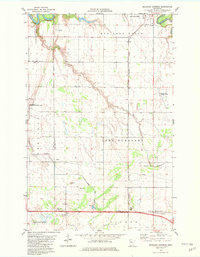 1982 Marcoux Corners1982 Print · USGSRed Lake and Polk counties are captured here in the early eighties, showcasing a landscape shaped by river confluences and the Burlington Northern railroad. Researchers can trace rural life through sites like Cyr Cem, Marcoux Corners, and Kertsonville.
 - 1982 Map of Dorothy
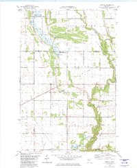 1982 Dorothy1982 Print · USGSNorthern Minnesota's prairie and wetlands are mapped here in the early eighties, revealing the small communities of Dorothy and Wylie. Genealogists and historians can trace the Old Railroad Grade and local landmarks like St Dorothys Ch and several gravel pits.
 - 1982 Map of Red Lake Falls
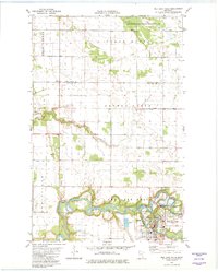 1982 Red Lake Falls1982 Print · USGSRed Lake Falls and the surrounding prairie were captured in the early eighties at the confluence of two major rivers. Researchers can trace the town's layout including Washington Sch or find outlying landmarks like Immanuel Cem and Wylie.
Showing maps 1-25 of 97
Top cities of Red Lake County
- Red Lake Falls historical maps
- Oklee historical maps
- Plummer historical maps
- Garnes historical maps
- Terrebonne historical maps
- Brooks historical maps
See more
Frequently asked questions
- What are the different types of historical maps available for Red Lake County?
- What is the oldest map of Red Lake County?
- Where can I purchase historical maps of Red Lake County for my home or office?
- Where can I download high-res historical maps of Red Lake County?
- Are there historical topographic maps available for Red Lake County?
- Is there historical aerial imagery available for Red Lake County?
- Where are historical maps of Red Lake County sourced from?