2010s Maps of Red Lake County, Minnesota
Explore 56 historic maps of Red Lake County from the 2010s. These maps offer a rare glimpse into what life looked like during the 2010s — showing old roads, neighborhoods, homes, and landmarks that have changed or disappeared over time.
Whether you're researching your family's past, planning a metal detecting trip, or studying how Red Lake County's landscape evolved across the 2010s, these high-resolution maps are a powerful tool for exploring the history of this region.
- Focus on a specific era: All maps on this page are from the 2010s, giving you a focused view of this time period.
- See what’s changed: Compare century-old streets, trails, and buildings to today's modern landscape using overlays and satellite layers.
- Research with precision: Use these maps for genealogy, historical research, land use analysis, or educational projects.
- View, download, or print: Maps are fully viewable online in high resolution, and can be downloaded or printed for your own records.
Start exploring Red Lake County's history through authentic maps from the 2010s. This is your window into the past.
Red Lake County, MN maps
(56)- 2010 Map of Trail, 2010 Print
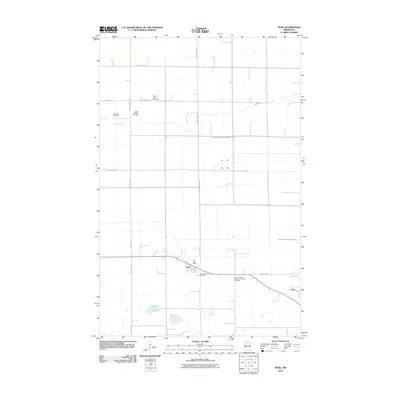 2010 Trail2010 Print · USGSGully and Trail are captured in this early twenty-first-century survey as they appeared amidst the farmland of Polk County. Researchers can trace local lineage through several family-named burial sites including Mount Olive Cemetery and Sand Valley Cemetery.
 - 2010 Map of Roland, 2010 Print
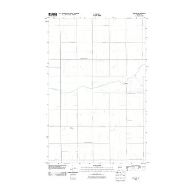 2010 Roland2010 Print · USGSRed Lake County's agricultural landscape is captured here in the early 21st century, centered on the small settlement of Roland. Researchers can trace local genealogy at Salem Cemetery or follow the path of the Clearwater River through a complex network of managed waterways.
 - 2010 Map of Oklee NW, 2010 Print
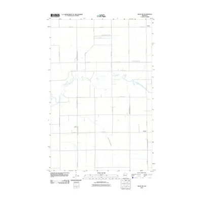 2010 Oklee NW2010 Print · USGSRed Lake County's agricultural heartland is documented here in the early twenty-first century as drainage projects and family farms define the landscape. Researchers can locate the Finnish Cemetery, the community of Garnes, and the winding Clearwater River.
 - 2010 Map of Gully NW, 2010 Print
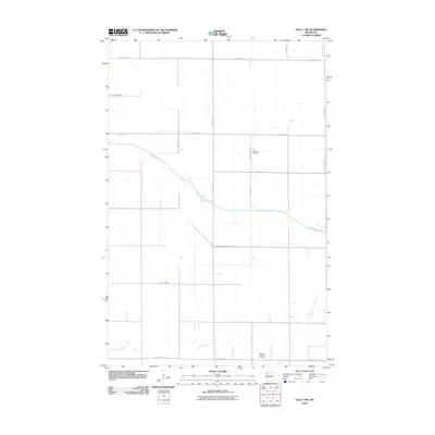 2010 Gully NW2010 Print · USGSPolk County at the turn of the twenty-first century reveals a landscape of precision agriculture and early cemetery sites. Genealogists can trace family roots at Nazareth Cemetery or follow the winding Clearwater River and Judicial Ditch Number One.
 - 2010 Map of Oklee SW, 2010 Print
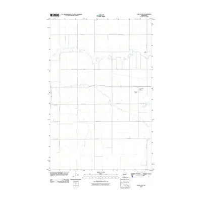 2010 Oklee SW2010 Print · USGSRed Lake County's agricultural landscape is captured here in the early twenty-first century as a network of rivers and section roads. Researchers can trace family history at Saint Francis Xavier Cemetery or locate the Oklee Racetrack and Bachand Airport.
 - 2010 Map of Oklee, 2010 Print
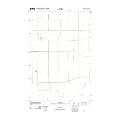 2010 Oklee2010 Print · USGSThe township of Oklee and its surrounding Red Lake County farmland are shown here just after the turn of the millennium. Researchers can trace the courses of the Lost River and Hill River alongside local landmarks like Zion Cemetery and the Oklee Post Office.
 - 2010 Map of Terrebonne, 2010 Print
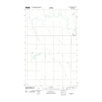 2010 Terrebonne2010 Print · USGSRed Lake County's agricultural heartland is documented here in the early twenty-first century, centered on the riverside hamlet of Terrebonne. Researchers can locate family sites near Saint Anthony Cemetery and Evergreen Cemetery or trace the course of the Clearwater River.
 - 2010 Map of Gentilly, 2010 Print
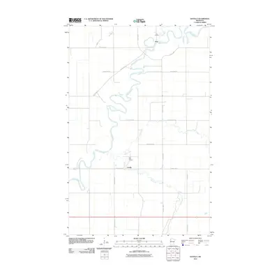 2010 Gentilly2010 Print · USGSThe riverine landscapes of Polk County are captured here at the start of the 2010s, centered on the historic settlement of Gentilly. Researchers can trace local heritage at Saint Peters Cemetery or follow the winding courses of the Red Lake River and Gentilly River.
 - 2010 Map of Plummer, 2010 Print
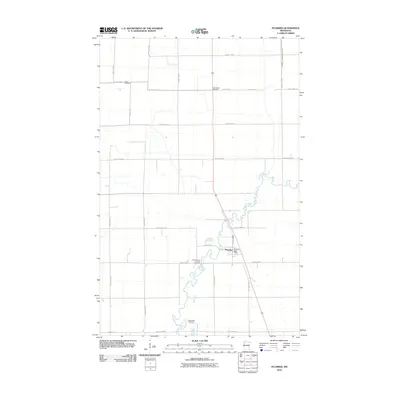 2010 Plummer2010 Print · USGSRed Lake County's agricultural and riverine landscape is captured here in the early twenty-first century. Genealogists can locate family sites near Saint Vincent De Paul Cemetery, Clara Cemetery, and the Plummer Post Office.
 - 2010 Map of Brooks, 2010 Print
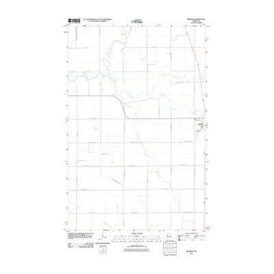 2010 Brooks2010 Print · USGSBrooks and its surrounding Red Lake County prairie are seen here at the start of the 21st century, defined by a complex web of rivers and creeks. Genealogists can locate Saint Joseph Cemetery and the Presbyterian Cemetery near the Brooks Post Office.
 - 2010 Map of Red Lake Falls, 2010 Print
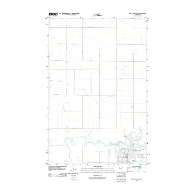 2010 Red Lake Falls2010 Print · USGSRed Lake Falls and the surrounding prairies are captured here in the early twenty-first century as the river-carved landscape meets a tidy grid of farm roads. Trace local history through the Red Lake County Fairgrounds, the rural Wylie settlement, and the Immanuel Cemetery.
 - 2010 Map of Marcoux Corners, 2010 Print
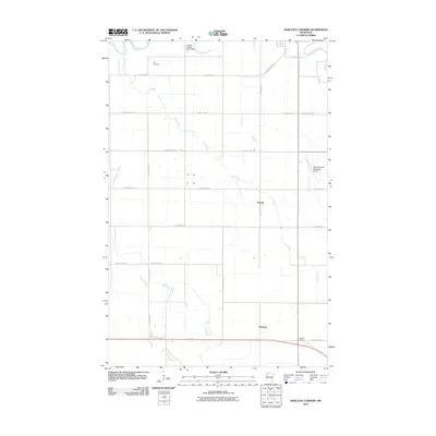 2010 Marcoux Corners2010 Print · USGSRed Lake County in the early twenty-first century remains a landscape of quiet creek valleys and dispersed farmstead junctions. Researchers can locate family landmarks like Cyr Cemetery or trace the early paths of Perault, Delorme, and the Red Lake River.
 - 2010 Map of Dorothy, 2010 Print
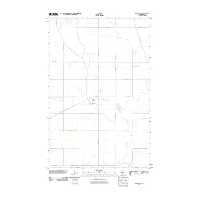 2010 Dorothy2010 Print · USGSRed Lake County's agricultural heartland is documented here in the early twenty-first century, centered on the community of Dorothy. Genealogists and historians can trace the paths of the historic Pembina Trl and find the grounds of the Saint Dorothy Cemetery.
 - 2010 Map of Plummer NW, 2010 Print
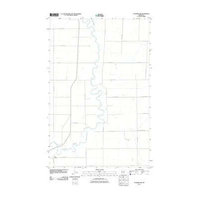 2010 Plummer NW2010 Print · USGSPennington County at the start of the 2010s is defined by the winding course of the Red Lake River through rural farmland. Genealogists and local historians can locate Saint Josephs Cemetery and trace the agricultural grid along County Hwy-2.
 - 2013 Map of Oklee NW, 2013 Print
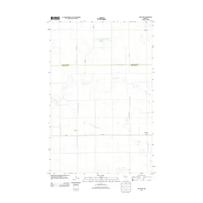 2013 Oklee NW2013 Print · USGSRed Lake and Pennington counties are shown in this modern survey as a landscape of managed prairie and agricultural grid. Researchers can find small burial grounds like Finnish Cem and the winding course of the Clearwater River near Garnes.
 - 2013 Map of Gully NW, 2013 Print
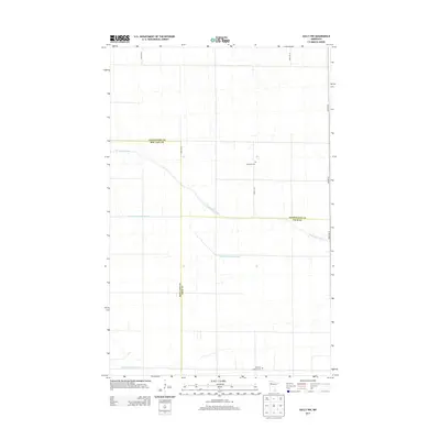 2013 Gully NW2013 Print · USGSPolk County and the surrounding tri-county borderlands are shown here in the early twenty-first century, revealing a landscape of managed waterways. Researchers can locate ancestral sites like Nazareth Cem and Bethany Lutheran Cem among the reaches of the Clearwater River.
 - 2013 Map of Plummer, 2013 Print
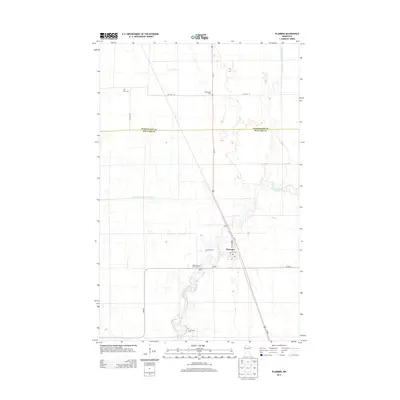 2013 Plummer2013 Print · USGSRed Lake County's agricultural heartland is captured here in the early twenty-first century, centered on the village of Plummer. Researchers can trace local burial sites like Saint Vincent De Paul Cem and the winding course of the Clearwater River.
 - 2013 Map of Gentilly, 2013 Print
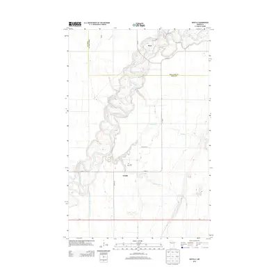 2013 Gentilly2013 Print · USGSNorthwest Minnesota's river-carved plains are documented here in the early twenty-first century, showing the intersection of agricultural land and wandering waterways. Genealogists can locate family sites near Huot Cem or trace the drainage of Kripple Cr and the Red Lake River.
 - 2013 Map of Oklee SW, 2013 Print
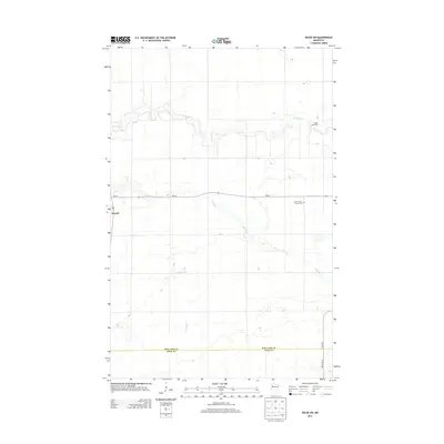 2013 Oklee SW2013 Print · USGSRed Lake County agricultural lands are captured here in the early twenty-first century as the prairie landscape remains centered on small settlements and river drainage. Genealogists and local historians can locate Saint Francis Xavier Cem or trace the winding paths of the Lost River and Hill River.
 - 2013 Map of Trail, 2013 Print
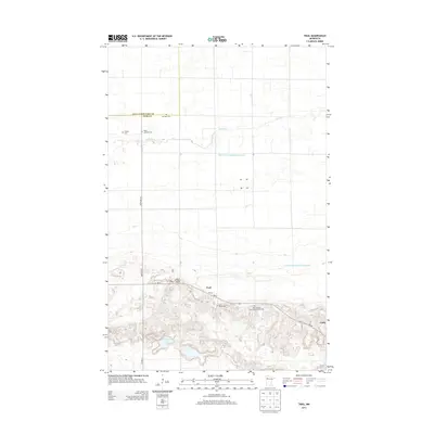 2013 Trail2013 Print · USGSThe rural landscapes of Polk County and Red Lake County are captured here in the early twenty-first century. Genealogists and local historians can locate several family burial grounds, including Sand Valley Cem and W Valle Cem, while tracing the course of Lost River through its engineered ditch systems.
 - 2013 Map of Oklee, 2013 Print
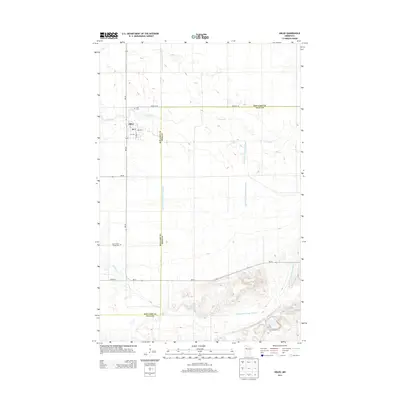 2013 Oklee2013 Print · USGSRed Lake County in the early twenty-first century is defined by the village of Oklee and its surrounding network of agricultural waterways. Researchers can locate family burial sites at Zion Cem and Saint Francis Xavier Cem or trace the meandering path of the Lost River.
 - 2013 Map of Roland, 2013 Print
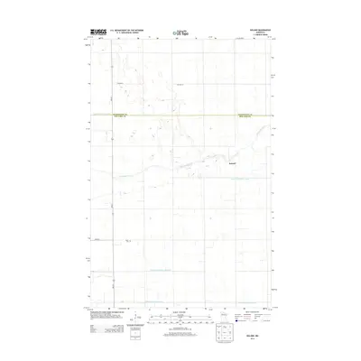 2013 Roland2013 Print · USGSThis rural area on the Pennington and Red Lake county line is captured in the early 2010s, showing a landscape defined by the Clearwater River. Genealogists and historians can locate Roland and Salem Cem alongside the area's complex network of judicial ditches.
 - 2013 Map of Brooks, 2013 Print
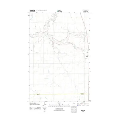 2013 Brooks2013 Print · USGSBrooks and the surrounding Red Lake County prairie are documented here in the early twenty-first century. Researchers can trace local lineage at Saint Joseph Cem and Presbyterian Cem, or follow the winding courses of the Clearwater River and Poplar River.
 - 2013 Map of Red Lake Falls, 2013 Print
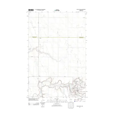 2013 Red Lake Falls2013 Print · USGSRed Lake Falls and the surrounding prairie are captured here at the start of the 2010s, centered on the meeting of two major rivers. Researchers can locate local landmarks like Immanuel Cem, the Red Lake County Fairgrounds, and the settlement of Wylie.
 - 2013 Map of Terrebonne, 2013 Print
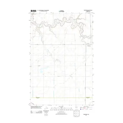 2013 Terrebonne2013 Print · USGSRed Lake County agricultural life is centered on the banks of the winding Clearwater River during the early twenty-first century. Researchers can trace the drainage of the prairie through numerous historic waterways and find local burial sites like Saint Anthony Cem and Evergreen Cem.
Showing maps 1-25 of 56
Top cities of Red Lake County
- Red Lake Falls historical maps
- Oklee historical maps
- Plummer historical maps
- Garnes historical maps
- Terrebonne historical maps
- Brooks historical maps
See more
Frequently asked questions
- What are the different types of historical maps available for Red Lake County?
- What is the oldest map of Red Lake County?
- Where can I purchase historical maps of Red Lake County for my home or office?
- Where can I download high-res historical maps of Red Lake County?
- Are there historical topographic maps available for Red Lake County?
- Is there historical aerial imagery available for Red Lake County?
- Where are historical maps of Red Lake County sourced from?