2010s Maps of Redwood County, Minnesota
Explore 112 historic maps of Redwood County from the 2010s. These maps offer a rare glimpse into what life looked like during the 2010s — showing old roads, neighborhoods, homes, and landmarks that have changed or disappeared over time.
Whether you're researching your family's past, planning a metal detecting trip, or studying how Redwood County's landscape evolved across the 2010s, these high-resolution maps are a powerful tool for exploring the history of this region.
- Focus on a specific era: All maps on this page are from the 2010s, giving you a focused view of this time period.
- See what’s changed: Compare century-old streets, trails, and buildings to today's modern landscape using overlays and satellite layers.
- Research with precision: Use these maps for genealogy, historical research, land use analysis, or educational projects.
- View, download, or print: Maps are fully viewable online in high resolution, and can be downloaded or printed for your own records.
Start exploring Redwood County's history through authentic maps from the 2010s. This is your window into the past.
Redwood County, MN maps
(112)- 2010 Map of Lucan, 2010 Print
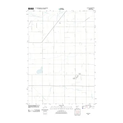 2010 Lucan2010 Print · USGSLucan and its surrounding agricultural landscape are captured in 2010, showing the intersection of rural life and water management. Genealogists can locate family sites at Hustad Cemetery, Trinity Lutheran Cemetery, and the Lucan Post Office.
 - 2010 Map of Evan, 2010 Print
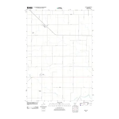 2010 Evan2010 Print · USGSBrown County’s prairie landscape is captured here in the early twenty-first century, showing the enduring agricultural character of the region. Researchers can locate family landmarks like Prairieville Cemetery or trace the drainage history at Bloemke Lakebed and the Cottonwood River.
 - 2010 Map of Wabasso, 2010 Print
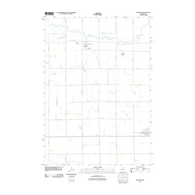 2010 Wabasso2010 Print · USGSRedwood County prairie land is captured here in the early 2000s, showing a meticulously managed agricultural landscape. Researchers can trace local heritage at Saint Marys Cemetery or locate the Seaforth Post Office and Fuhr Flying Service Airport.
 - 2010 Map of Morgan, 2010 Print
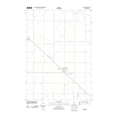 2010 Morgan2010 Print · USGSThis Redwood County agricultural landscape near the turn of the millennium shows the community of Morgan and the surrounding rural grid. Genealogists and local historians can locate Saint Michael Cemetery, Saint Johns Cemetery, and the settlement of Gilfillan.
 - 2010 Map of Wabasso SE, 2010 Print
 2010 Wabasso SE2010 Print · USGSRedwood County agriculture and the winding Cottonwood River define this rural Minnesota landscape at the start of the 2010s. Genealogists and local historians can locate the Saint Matthews Cemetery and trace the paths of Sleepy Eye Creek and Coal Mine Creek.
 - 2010 Map of Boise Lake, 2010 Print
 2010 Boise Lake2010 Print · USGSThe rural grid of Brown County is captured here at the dawn of the 2010s, showing a landscape shaped by agriculture and small-town roots. Family history researchers can locate Saint Raphael Cemetery, Dannebod Cemetery, and landmarks like Boise Lake.
 - 2010 Map of Clements, 2010 Print
 2010 Clements2010 Print · USGSClements and the surrounding Redwood County farmland are captured here in the early twenty-first century, showing a landscape defined by industrial-scale agriculture. Genealogists can locate family sites at Saint Joseph Cemetery, Bethlehem Cemetery, or the Clements Post Office.
 - 2010 Map of School Grove Lake, 2010 Print
 2010 School Grove Lake2010 Print · USGSIn the early twenty-first century, this Lyon County landscape shows a deeply engineered agricultural grid shaped by water management. Genealogists and local historians can trace family farm access via County Hwy-10 and find landmarks like Tyson Lake and School Grove Lake.
 - 2010 Map of Redwood Falls, 2010 Print
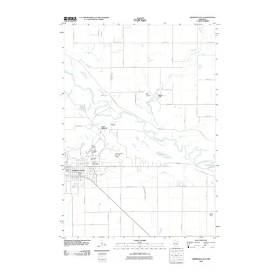 2010 Redwood Falls2010 Print · USGSRedwood Falls and the Minnesota River valley are captured in this 2010 study as they appeared in the early 21st century. Trace local family history at Beaver Falls Cemetery or locate landmarks like the Redwood River Dam and School Number 6 West.
 - 2010 Map of Milroy SE, 2010 Print
 2010 Milroy SE2010 Print · USGSLyon County agricultural lands are documented here in the early twenty-first century, showing a landscape defined by prairie river systems and early rural cemeteries. Researchers can locate family sites near Old Gales Cemetery, Nettiewynnt Lake Bed, and the Cottonwood River.
 - 2010 Map of Rowena, 2010 Print
 2010 Rowena2010 Print · USGSRedwood County agriculture and rural life are documented here during the early twenty-first century. Genealogists can trace family footprints at New Avon Salem Methodist Cemetery, Saint Anns Cemetery, and the settlement of Rowena.
 - 2010 Map of Echo, 2010 Print
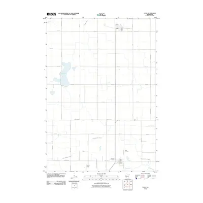 2010 Echo2010 Print · USGSRedwood County agriculture and small-town life are documented here in the early twenty-first century. Researchers can trace family roots at the German Cemetery in Echo or locate the Holy Name Catholic Church Cemetery near the banks of the Redwood River.
 - 2010 Map of Walnut Grove, 2010 Print
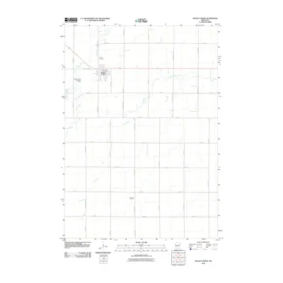 2010 Walnut Grove2010 Print · USGSWalnut Grove and the surrounding prairie lands appear in great detail during the early twenty-first century. Genealogists and local historians can trace the town's footprint, locate the Walnut Grove Post Office, and find rural burial sites like Saint Olaf Cemetery.
 - 2010 Map of Morton, 2010 Print
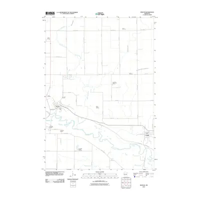 2010 Morton2010 Print · USGSRenville County farmland and the Minnesota River valley are documented here at the turn of the 21st century. Researchers can locate numerous historic burial sites and rural landmarks, including the Patten Pioneer Cemetery, School Number 135, and the Morton Post Office.
 - 2010 Map of Delhi, 2010 Print
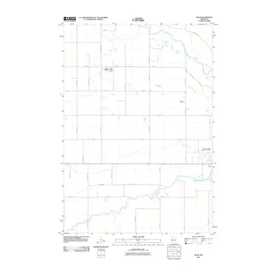 2010 Delhi2010 Print · USGSRedwood County enters the twenty-first century as a landscape shaped by its river valleys and quiet rural centers. Researchers can trace the layout of Delhi, locate the historic School Number 53, and explore the grounds of Ramsey Park near Ramsey Falls.
 - 2010 Map of Iverson Lake, 2010 Print
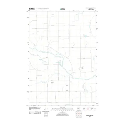 2010 Iverson Lake2010 Print · USGSRedwood County at the start of the 2010s is defined by the winding Minnesota River and a deep-rooted agricultural grid. Researchers can trace rural lineages through local landmarks like the Swedes Forest Township Cemetery, Middag Knutea, and Sandager Cemetery.
 - 2010 Map of Vicksburg, 2010 Print
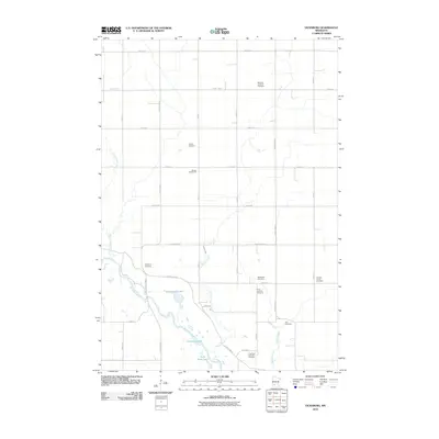 2010 Vicksburg2010 Print · USGSRenville County farmland meets the river bottomlands in this 2010 survey of the Vicksburg area. Researchers can trace numerous local heritage sites, from School Number 97 to a high density of small cemeteries like the Schmitt Family Cemetery and Zion Cemetery.
 - 2010 Map of Sanborn NE, 2010 Print
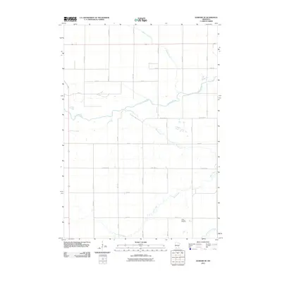 2010 Sanborn NE2010 Print · USGSBrown County's fertile prairie and river valleys appear in meticulous detail at the start of the 21st century. Genealogists and local historians can trace the rural landscape surrounding the Christ Lutheran Cemetery and the waters of Mound Creek.
 - 2010 Map of Milroy, 2010 Print
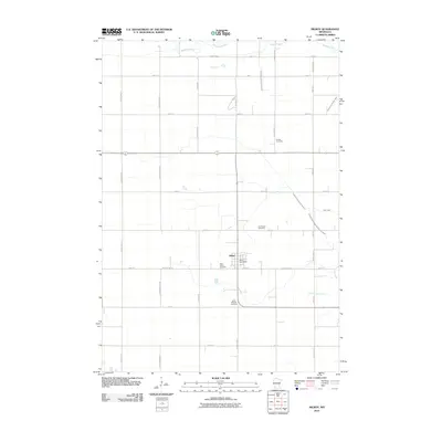 2010 Milroy2010 Print · USGSThe agricultural heart of Redwood County comes into focus in this early 21st-century survey of the Milroy area. Researchers can trace the local cemetery system, including the Danish Cemetery and Saint Michael Cemetery, alongside landmarks like the Milroy Post Office.
 - 2010 Map of Wabasso SW, 2010 Print
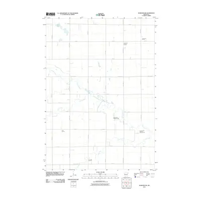 2010 Wabasso SW2010 Print · USGSRedwood County at the start of the decade reveals a structured agricultural landscape shaped by prairie waterways and family-named infrastructure. Genealogists and historians can locate the Johnsonville Cemetery, trace the banks of Plum Creek, or find the Arlen Knott Detention Dam.
 - 2010 Map of Lamberton, 2010 Print
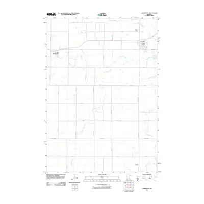 2010 Lamberton2010 Print · USGSLamberton and Revere stand at the center of this Minnesota prairie landscape in the early twenty-first century. Genealogists can locate family sites near Saint Joseph Cemetery or trace the meandering paths of Cottonwood River and Dutch Charley Creek.
 - 2010 Map of Wanda, 2010 Print
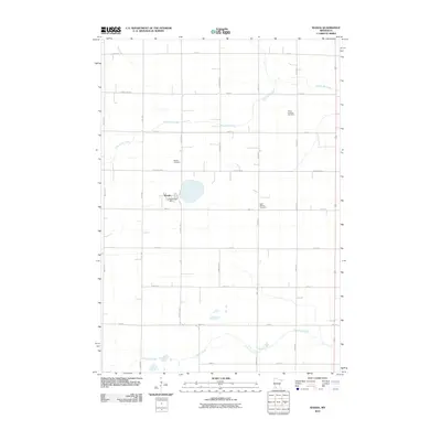 2010 Wanda2010 Print · USGSThe small town of Wanda is captured at the start of the 2010s, surrounded by the geometric section lines of the Redwood County prairie. Researchers can pinpoint family history at the Wanda Post Office or trace ancestral sites at Trinity Lutheran Cemetery and Saint Mathias Cemetery.
 - 2010 Map of Sanborn, 2010 Print
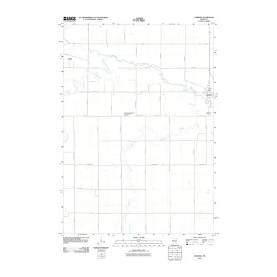 2010 Sanborn2010 Print · USGSSanborn and the surrounding Redwood County farmland are captured in detail during the early twenty-first century. Genealogists can trace family footprints at the Germantown Evangelical United Methodist Cemetery and locate landmarks like the Sanborn Post Office near the Cottonwood River.
 - 2010 Map of Belview, 2010 Print
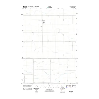 2010 Belview2010 Print · USGSThe town of Belview and its surrounding prairie landscape are captured here in the first decade of the 21st century. Researchers can locate family sites at Belview Cemetery and Saint Henry Cemetery or trace water routes like Ramsey Creek.
 - 2010 Map of Morton SE, 2010 Print
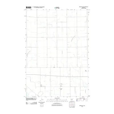 2010 Morton SE2010 Print · USGSRenville County farmland meets the Minnesota River valley in the early twenty-first century, showing a landscape defined by pioneer-era roots. Genealogists can locate several family and community burial grounds like Hauges Cemetery and Franklin Cemetery, or trace rural education at School Number 1.
Showing maps 1-25 of 112
Top cities of Redwood County
- Redwood Falls historical maps
- Morgan historical maps
- Lamberton historical maps
- Wabasso historical maps
- Walnut Grove historical maps
- Belview historical maps
See more
Frequently asked questions
- What are the different types of historical maps available for Redwood County?
- What is the oldest map of Redwood County?
- Where can I purchase historical maps of Redwood County for my home or office?
- Where can I download high-res historical maps of Redwood County?
- Are there historical topographic maps available for Redwood County?
- Is there historical aerial imagery available for Redwood County?
- Where are historical maps of Redwood County sourced from?