2020s Maps of Roseau County, Minnesota
Explore 48 historic maps of Roseau County from the 2020s. These maps offer a rare glimpse into what life looked like during the 2020s — showing old roads, neighborhoods, homes, and landmarks that have changed or disappeared over time.
Whether you're researching your family's past, planning a metal detecting trip, or studying how Roseau County's landscape evolved across the 2020s, these high-resolution maps are a powerful tool for exploring the history of this region.
- Focus on a specific era: All maps on this page are from the 2020s, giving you a focused view of this time period.
- See what’s changed: Compare century-old streets, trails, and buildings to today's modern landscape using overlays and satellite layers.
- Research with precision: Use these maps for genealogy, historical research, land use analysis, or educational projects.
- View, download, or print: Maps are fully viewable online in high resolution, and can be downloaded or printed for your own records.
Start exploring Roseau County's history through authentic maps from the 2020s. This is your window into the past.
Roseau County, MN maps
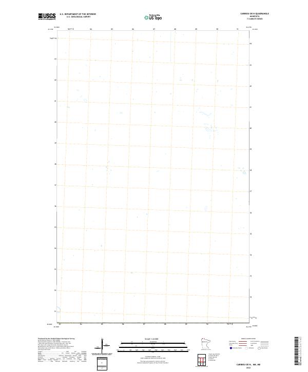
(48)- 2022 Map of Caribou NE OE N, 2022 Print
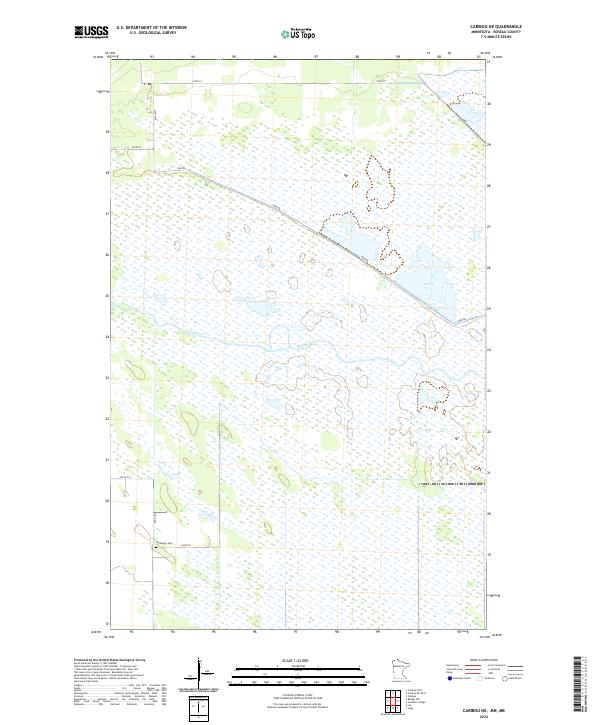
 2022 Caribou NE OE N2022 Print · USGSCovers Roseau County, including Sundown, Sundown, and other nearby areas
 - 2022 Map of Caribou OE N, 2022 Print
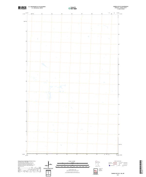
 2022 Caribou OE N2022 Print · USGSCovers Roseau County, including Rural Municipality of Stuartburn, Kittson County, and other nearby areas
 - 2022 Map of Roseau, 2022 Print
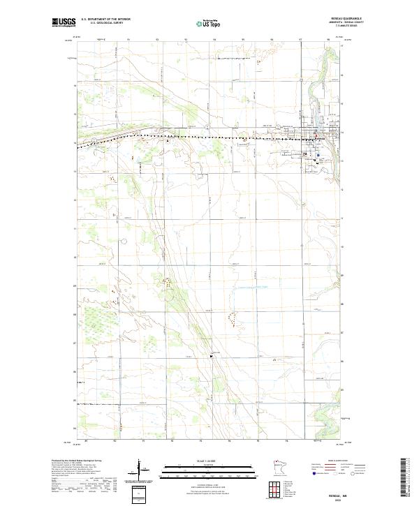 2022 Roseau2022 Print · USGSThe northern plains around Roseau come into focus in this recent survey of the county seat. Genealogists and local researchers can trace the locations of Roseau County Courthouse, Sacred Heart, and several rural burial sites like Rose Cem and Bethel Cem.
 - 2022 Map of Pelan, 2022 Print
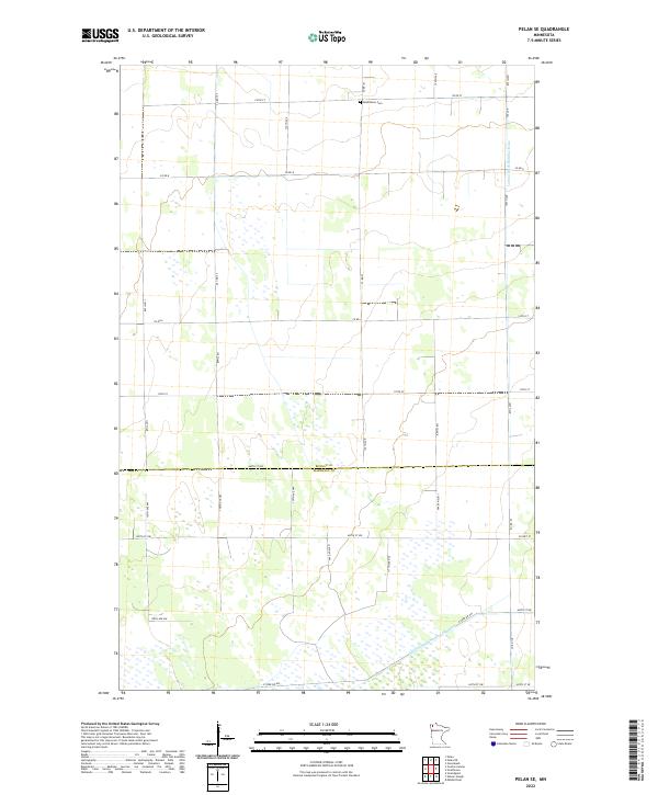
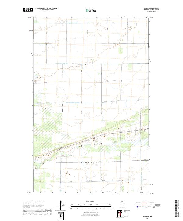
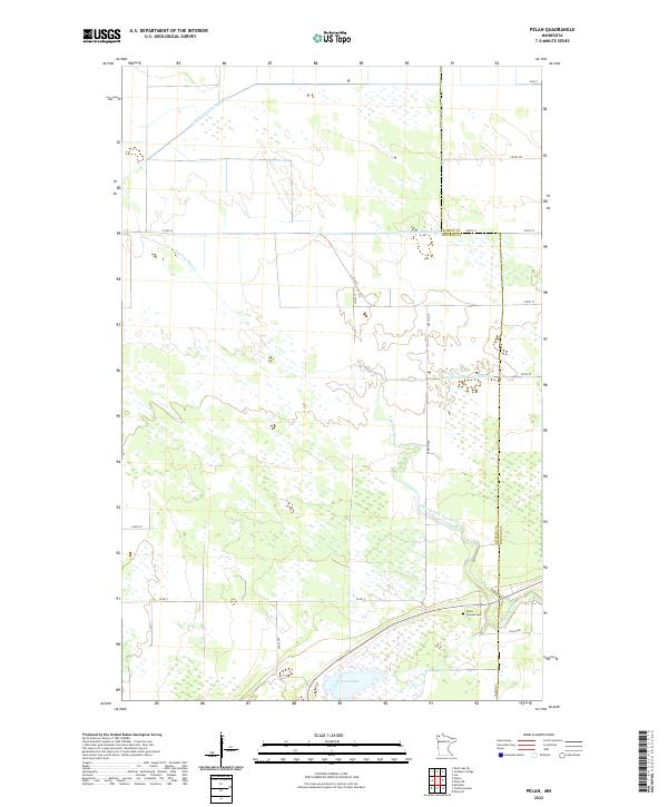 2022 Pelan2022 Print · USGSNorthwest Minnesota's transition from wetlands to farmland is visible here at the border of Kittson and Roseau counties. Genealogists can locate Pelan Pioneer Cemetery while researchers trace the engineered path of State Ditch Number Ninetyfive and Twin Lakes.
 - 2022 Map of Haug, 2022 Print
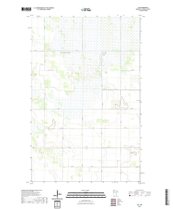
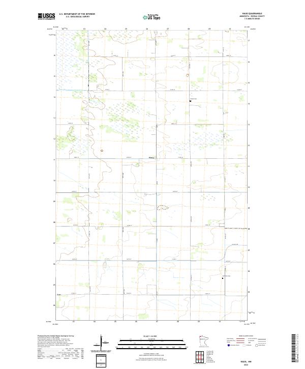 2022 Haug2022 Print · USGSNorthwestern Minnesota’s rural landscape is mapped here in the early twenty-first century, showing the enduring grid of farm roads and settlements. Genealogists can locate Olland Cem, Bethania Cem, and the quiet locales of Haug and Leo.
 - 2022 Map of Pelan SE, 2022 Print
 2022 Pelan SE2022 Print · USGSThe Minnesota prairie near the Roseau and Marshall county line is captured here in the early twenty-first century. Researchers can locate the Bethlehem Cem and trace the complex drainage network of Lateral Ditch Number Nine and Judicial Ditch Number Nineteen.
 - 2022 Map of Thief Lake, 2022 Print
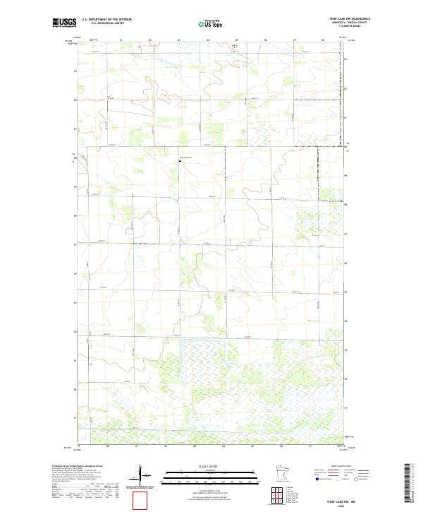
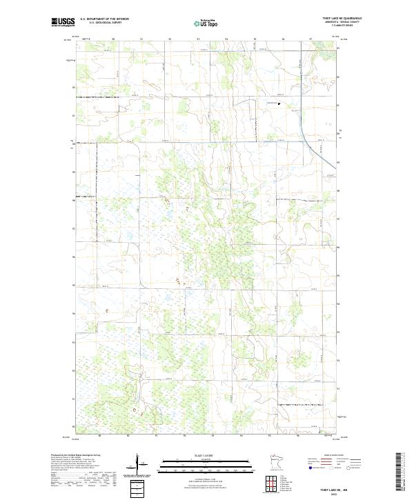
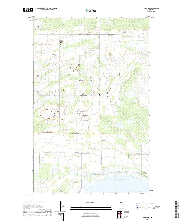 2022 Thief Lake2022 Print · USGSThe marshy lowlands of northern Minnesota are captured here at the boundary of Roseau and Marshall counties. Researchers can locate remote burial sites like Klondike Church Cem and Gust National Cem near the shores of Thief Lake.
 - 2022 Map of Roosevelt NE, 2022 Print
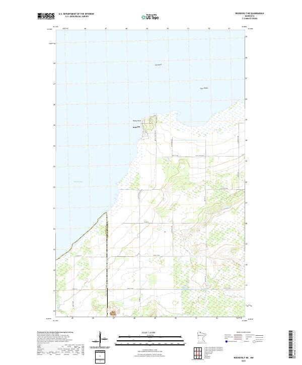 2022 Roosevelt NE2022 Print · USGSThe southern reach of Lake of the Woods comes into focus in this contemporary survey of the Minnesota shoreline. Trace the coastal geography from the settlement of Arnesén to offshore landmarks like Gull Rock and the marshy edges of Muskeg Bay.
 - 2022 Map of Thief Lake NW, 2022 Print
 2022 Thief Lake NW2022 Print · USGSRoseau County's rural landscape is captured here in the early twenty-first century, showing the precise township grid of this northern border region. Genealogists can locate Nannestad Cem or trace the path of the S Br Two Rivers through these quiet fields.
 - 2022 Map of Juneberry Ridge, 2022 Print
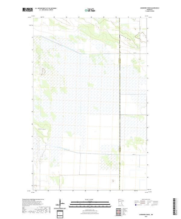 2022 Juneberry Ridge2022 Print · USGSAlong the border of Kittson and Roseau counties in the 2020s, this landscape shows the intersection of natural terrain and massive drainage projects. Researchers can trace the paths of State Ditch Number Seventy-two and State Ditch Number Fifty past landmarks like Moose Point.
 - 2022 Map of Pelan NE, 2022 Print
 2022 Pelan NE2022 Print · USGSRoseau County is seen in a period of modern land management within this township map of the Pelan NE region. Genealogists and local historians can locate Pauls Cem or trace the extensive drainage systems of State Ditch Number Ninetyfive and Lateral Ditch Number Two.
 - 2022 Map of Twistal Swamp, 2022 Print
 2022 Twistal Swamp2022 Print · USGSNorthwestern Minnesota's drainage and settlement patterns are preserved here as they appeared in the 2020s. Researchers can locate Zion Cem and trace the engineered courses of State Ditch Number Ninety and the Tamarac River.
 - 2022 Map of Badger, 2022 Print
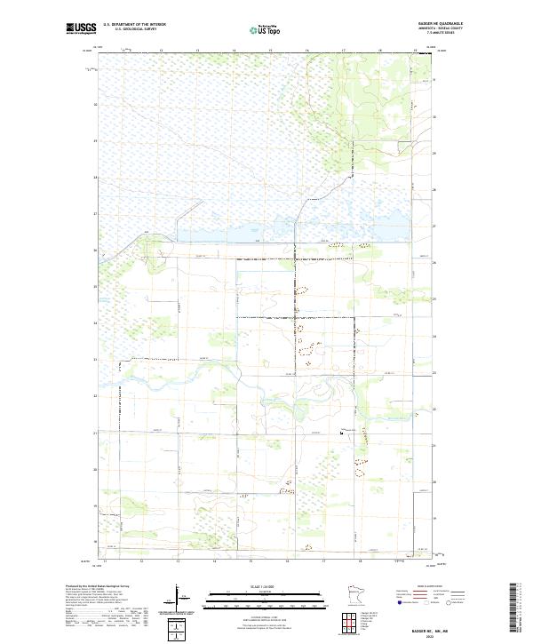
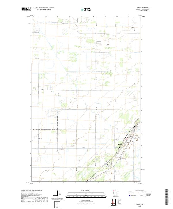 2022 Badger2022 Print · USGSBadger and the surrounding northern Minnesota wetlands are captured here in the early twenty-first century. Genealogists and local historians can trace family locations through numerous sites like Saint Mary Cem, Swedish Cem, and the rural Roselund Cem.
 - 2022 Map of Greenbush, 2022 Print
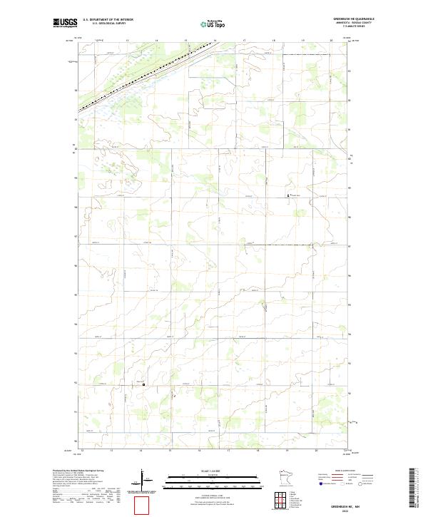
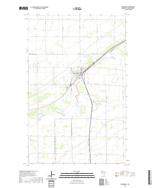 2022 Greenbush2022 Print · USGSGreenbush and the surrounding Roseau County prairie are shown here in the early 2020s, highlighting the area's agricultural and water-management history. Researchers can locate family landmarks such as Bethania Cem and trace the paths of the S Br Two Rivers or State Ditch Number Ninetyfive.
 - 2022 Map of Wannaska, 2022 Print
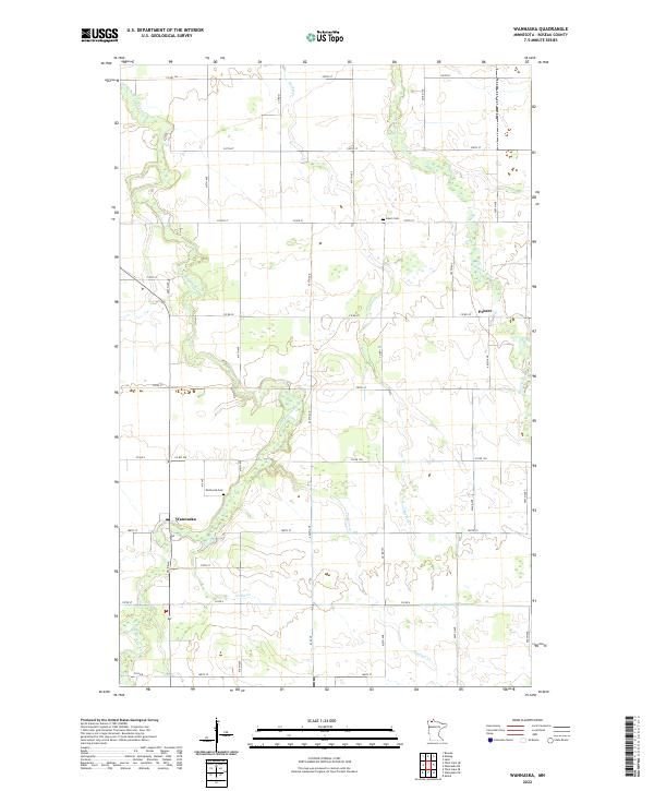 2022 Wannaska2022 Print · USGSThe rural landscape of Roseau County is captured here in the early twenty-first century as agricultural grids meet the winding Roseau River. Genealogists can locate family landmarks such as Mickinock Cem and Salem Cem near the settlement of Wannaska.
 - 2022 Map of Wannaska SW, 2022 Print
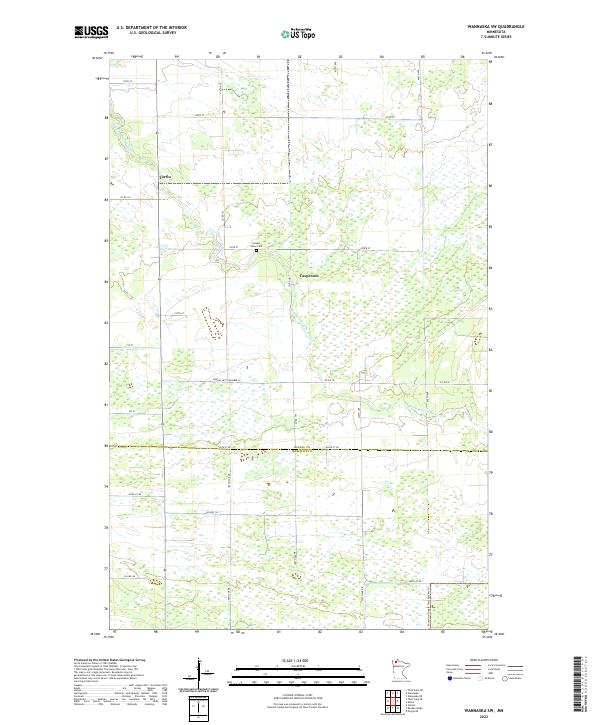 2022 Wannaska SW2022 Print · USGSWannaska's rural expanse in the early twenty-first century reveals a landscape shaped by the S Fork Roseau River and the county line. Trace the history of small settlements like Torfin or locate family roots at the Golden Valley Cem.
 - 2022 Map of Strathcona, 2022 Print
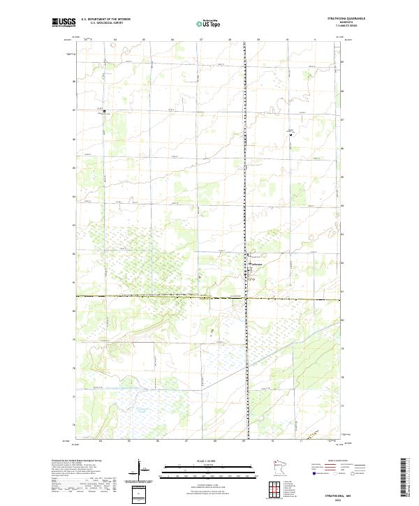 2022 Strathcona2022 Print · USGSStrathcona and the surrounding wetlands of Northwest Minnesota appear here in the early 2020s, showing a landscape defined by industrial agriculture and managed drainage. Researchers can trace the path of Judicial Ditch Number Nineteen or locate local burial sites like Bethlehem Cem and Poplar Grove Cem.
 - 2022 Map of Thief Lake NE, 2022 Print
 2022 Thief Lake NE2022 Print · USGSNorthern Roseau County is mapped here during the early twenty-first century, showing a landscape of extensive wetlands and section-line roads. Researchers can locate Oak Hill Cem and trace rural routes like Co Rd 14 and Co Rd 30.
 - 2022 Map of Badger NE, 2022 Print
 2022 Badger NE2022 Print · USGSRoseau County's wetland management and rural farm layout are captured here in the early twenty-first century. Genealogists and local historians can trace the grid of country roads to find the Immanuel Cem or follow the path of the Roseau River.
 - 2022 Map of Mulligan Lake SW, 2022 Print
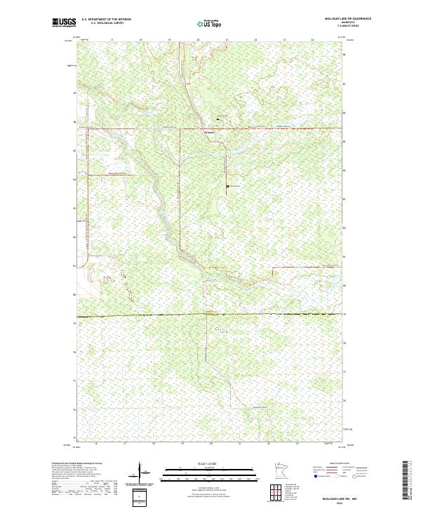 2022 Mulligan Lake SW2022 Print · USGSNorthern Minnesota’s marshlands and forest roads are detailed here in the early twenty-first century. Genealogists and local historians can trace the remote settlement of Winner and locate the Elkwood Cem along the Bemis Hill Trails Trl.
 - 2022 Map of Badger NW, 2022 Print
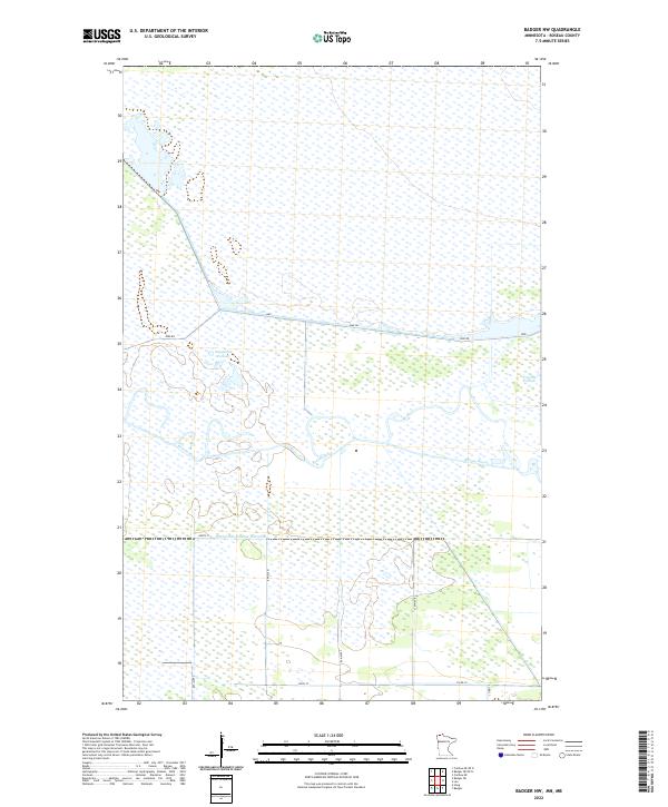 2022 Badger NW2022 Print · USGSThe marshy lowlands of northern Minnesota are mapped here in the early 2020s, showing a landscape shaped by water and drainage. Trace the winding Roseau River as it moves past Doughnut Pothole and the engineered State Ditch Number Sixty-nine.
 - 2022 Map of Leo, 2022 Print
 2022 Leo2022 Print · USGSRoseau County's northern plains are captured here in the early twenty-first century, showing the organized grid of a remote borderland. Genealogists and local historians can trace family locations near Leo or along the drainage works of State Ditch Number Seventy-two.
 - 2022 Map of Greenbush NE, 2022 Print
 2022 Greenbush NE2022 Print · USGSThe rural expanses of Roseau County are documented here in the 2020s, showing a landscape of structured section lines and local wetlands. Genealogists and local historians can locate Barnett Cem and Zion Cem, or trace the path of the S Br Two Rivers.
 - 2022 Map of Caribou NE, 2022 Print
 2022 Caribou NE2022 Print · USGSUpper Roseau County in the 2020s remains a landscape of managed wetlands and remote rural sections near the Canadian border. Researchers can trace land divisions and local landmarks like the Juneberry Cem and the waters of the Roseau River or Pool 3.
 - 2022 Map of Caribou, 2022 Print
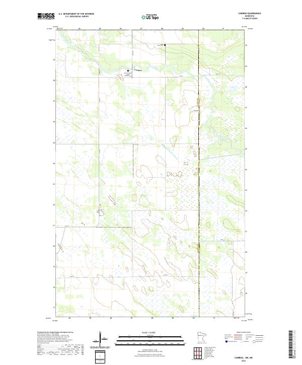 2022 Caribou2022 Print · USGSThe northern borderlands of Kittson County come into focus in the early 2020s, showing a landscape of managed wetlands and prairie settlements. Genealogists can locate Saint Michaels Greek Orthodox Cem and Saint John's Cem near the quiet community of Caribou.
Showing maps 1-25 of 48
Top cities of Roseau County
- Roseau historical maps
- Warroad historical maps
- Greenbush historical maps
- Badger historical maps
- Ross historical maps
- Malung historical maps
See more
Frequently asked questions
- What are the different types of historical maps available for Roseau County?
- What is the oldest map of Roseau County?
- Where can I purchase historical maps of Roseau County for my home or office?
- Where can I download high-res historical maps of Roseau County?
- Are there historical topographic maps available for Roseau County?
- Is there historical aerial imagery available for Roseau County?
- Where are historical maps of Roseau County sourced from?