1950s Maps of Saint Louis County, Minnesota
Explore 96 historic maps of Saint Louis County from the 1950s. These maps offer a rare glimpse into what life looked like during the 1950s — showing old roads, neighborhoods, homes, and landmarks that have changed or disappeared over time.
Whether you're researching your family's past, planning a metal detecting trip, or studying how Saint Louis County's landscape evolved across the 1950s, these high-resolution maps are a powerful tool for exploring the history of this region.
- Focus on a specific era: All maps on this page are from the 1950s, giving you a focused view of this time period.
- See what’s changed: Compare century-old streets, trails, and buildings to today's modern landscape using overlays and satellite layers.
- Research with precision: Use these maps for genealogy, historical research, land use analysis, or educational projects.
- View, download, or print: Maps are fully viewable online in high resolution, and can be downloaded or printed for your own records.
Start exploring Saint Louis County's history through authentic maps from the 1950s. This is your window into the past.
Saint Louis County, MN maps
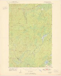
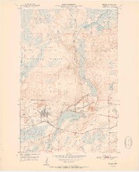
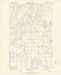
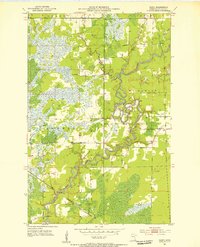
(96)- 1950 Map of Isaac Lake
 1950 Isaac Lake1950 Print · USGSSt. Louis County is captured at mid-century as the timber and iron economies shaped this north woods landscape. You can trace early cemetery locations like Armanda Cem, find the local Town Hall, and follow the Duluth Missabe and Iron Range railroad.2 unique versions available
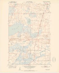
 - 1950 Map of Embarrass
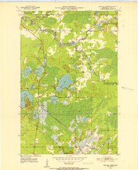
 1950 Embarrass1950 Print · USGSSt. Louis County in the post-war era reveals a landscape of Iron Range rail lines and northern forests. Genealogists and local historians can trace the early layout of Embarrass, the location of School No 70, and dozens of named water bodies like Heikkilla Lake.
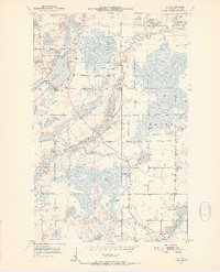
 - 1950 Map of Allen
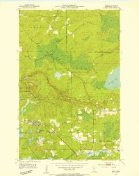
 1950 Allen1950 Print · USGSThe Mesaba Range comes into focus during the mid-century as an active corridor of mining and rail transport. Genealogists and historians can trace the Duluth Missabe and Iron Range railroad through the forest to Allen and Niemi Camp.2 unique versions available
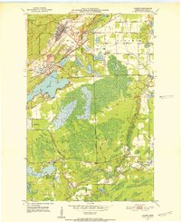
 - 1950 Map of Aurora
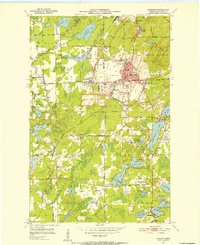
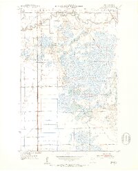
 1950 Aurora1950 Print · USGSThe Mesaba Iron Range was at a peak of industrial activity in the mid-twentieth century when this survey was conducted. Historians can trace the massive excavations of the St James Pit and Miller Pit alongside the rail-dependent settlements of Aurora and Old Mesaba.2 unique versions available
 - 1950 Map of Biwabik, 1959 Print
 1950 Biwabik1959 Print · USGSIn the heart of the Mesabi Range during the mid-century mining boom, this map shows a landscape transformed by massive pits and rail lines. Genealogists and industrial historians can locate old company towns like Pineville and Belgrade or trace the early operations of the Canton Mine and Erie Mine.5 unique versions available
 - 1950 Map of Mc Kinley, 1960 Print
 1950 Mc Kinley1960 Print · USGSIron mining communities and the Duluth Missabe and Iron Range railroad define this mid-century survey of the Mesabi Range. Local historians can trace the industrial footprint of the Corsica Mine and the early layouts of McKinley and Elcor.4 unique versions available
 - 1950 Map of Biwabik NW, 1963 Print
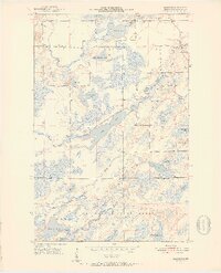
 1950 Biwabik NW1963 Print · USGSSt. Louis County's wooded lake country is captured here in the early fifties at the meeting of two great forests. Genealogists and local historians can locate the Florenton P O, School No 14, and old burial grounds like West Pike Cem along the Pike River.5 unique versions available
 - 1950 Map of Biwabik NE, 1963 Print
 1950 Biwabik NE1963 Print · USGSSt. Louis County's Iron Range is captured here in the early postwar era as the region's rail and river networks supported a mix of forest industry and rural life. Researchers can trace the paths of the Duluth Missabe and Iron Range and locate landmarks like Wahlsten, Salo Corner, and the Pike River Ch.4 unique versions available
 - 1951 Map of Biwabik
 1951 Biwabik1951 Print · USGSMid-century mining on the Mesabi Range is captured here during a period of intense industrial activity and growth. Local historians can trace the footprints of the Biwabik Mine, the Duluth Missabe and Iron Range rail lines, and the Erie Mine works.2 unique versions available
 - 1951 Map of Mc Kinley
 1951 Mc Kinley1951 Print · USGSThe Mesabi Range’s industrial landscape comes into focus during the early fifties, showing a network of iron mines and company towns. Genealogists and historians can trace the foundations of McKinley, Elcor, and the Corsica Mine alongside the Duluth Missabe and Iron Range railroad.2 unique versions available
 - 1951 Map of Biwabik NE
 1951 Biwabik NE1951 Print · USGSSt. Louis County was a landscape of winding rivers and timbered iron country in the early fifties. Genealogists and historians can trace pioneer roots through family-named landmarks and local sites like Salo Corner, Pike River Ch, and the Old Vermilion Lake Cem.2 unique versions available
 - 1951 Map of Biwabik NW
 1951 Biwabik NW1951 Print · USGSSt. Louis County is captured here in the early 1950s, showing a landscape of dense forests and river systems before modern expansion. Genealogists can locate the Florenton P O and community landmarks like School No 14, Pike Ch, and Sandy Cem.2 unique versions available
 - 1951 Map of Palo, 1952 Print
 1951 Palo1952 Print · USGSMid-century St. Louis County is captured here as a landscape of iron-related industry and lakeside retreats. Genealogists and researchers can trace local family landmarks like Palo, Rauha Cem, and the old Loon Lake Sch.6 unique versions available
 - 1951 Map of Gilbert, 1952 Print
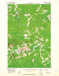
 1951 Gilbert1952 Print · USGSThe Mesabi Range iron industry is in full production during the early fifties, centering on the rail hubs and open pits of Gilbert and Sparta. Genealogists and historians can trace the footprints of the Gilbert Mine, Gilbert Cem, and the D M & I R railroad.4 unique versions available
 - 1951 Map of Eveleth, 1952 Print
 1951 Eveleth1952 Print · USGSThe Mesabi Iron Range hums with industrial activity in the early fifties, showing the massive pits and rail lines that drove the regional economy. Genealogists and historians can locate family homes near Leonidas, trace the Duluth Missabe and Iron Range tracks, or find old landmarks like Fayal Sch and the Virginia Mine.5 unique versions available
 - 1951 Map of Virginia, 1952 Print
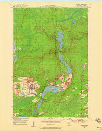
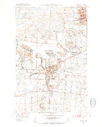
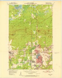 1951 Virginia1952 Print · USGSThe Mesabi Range's industrial peak is on full display in the early fifties, showing a landscape defined by massive iron mines and railroad junctions. Genealogists and researchers can trace the neighborhoods of Mountain Iron and Parkville or locate specific sites like Greenwood Cemetery and Rainy Junction.9 unique versions available
 - 1951 Map of Babbitt SW, 1952 Print
 1951 Babbitt SW1952 Print · USGSIn the early 1950s, the St. Louis County landscape was being reshaped by the mining industry. Trace the nascent Reserve Mining Company RR as it was being built through the Superior National Forest and past the Partridge River.6 unique versions available
 - 1951 Map of Kinney, 1952 Print
 1951 Kinney1952 Print · USGSThe Mesabi Iron Range is captured mid-century during a period of high-output industrial mining. Genealogists and historians can trace the footprint of early iron operations including the Atkins Mine, Whiteside Mine, and the village of Kinney along the Great Northern rail lines.7 unique versions available
 - 1951 Map of Kirk, 1952 Print
 1951 Kirk1952 Print · USGSThe Iron Range of northern Minnesota was a hub of heavy rail and rural community life in the early fifties. Genealogists and historians can trace the local landscape through landmarks like School No 964, Bethel Cem, and the tracks of the Great Northern railroad.7 unique versions available
 - 1951 Map of Central Lakes, 1953 Print
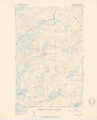
 1951 Central Lakes1953 Print · USGSThe Iron Range hinterland comes into focus in the early 1950s, centered on the railroad siding of Central Lakes. Researchers can trace the path of the Duluth Winnipeg and Pacific and locate local landmarks like the Community Hall and Anchor Lake.4 unique versions available
 - 1951 Map of Britt, 1953 Print
 1951 Britt1953 Print · USGSSt. Louis County is captured here in the early fifties, showing a landscape defined by the intersection of forest conservation and rail transit. Researchers can locate the Britt P O, trace the Duluth Winnipeg and Pacific Railroad through Forsman, or find family names near the Sandy Cem.5 unique versions available
 - 1951 Map of Zim, 1953 Print
 1951 Zim1953 Print · USGSRailroad hamlets and winding river bends defined St. Louis County at the start of the 1950s. Genealogists and historians can trace the early layout of Zim, Forbes, and Fens along the Duluth Missabe and Iron Range rail line.5 unique versions available
 - 1951 Map of Hibbing, 1953 Print
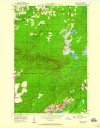
 1951 Hibbing1953 Print · USGSIron mining at mid-century defines the landscape of the Mesabi Range as massive open pits expand between settled communities. Trace the proximity of industrial sites like the Mahoning-Hull-Rust Mine to local landmarks such as Maple Hill Cem and Cobb-Cook Sch.2 unique versions available
 - 1951 Map of Casco, 1953 Print
 1951 Casco1953 Print · USGSSt. Louis County is defined by the winding St Louis River and the industrial activity of the Iron Range during the early fifties. Genealogists and historians can trace local landmarks like Zim Ch, the Zim Cem, and the rail junction at Casco.2 unique versions available
 - 1951 Map of Makinen, 1953 Print
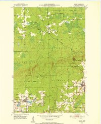
 1951 Makinen1953 Print · USGSThe Iron Range region comes into focus during the early fifties, showing a landscape defined by timber and water. Genealogists and local historians can locate early structures like the Town Hall or trace the waterways of the Paleface River and Long Lake.5 unique versions available
Showing maps 1-25 of 96
Top cities of Saint Louis County
- Duluth historical maps
- Hibbing historical maps
- Hermantown historical maps
- Virginia historical maps
- Chisholm historical maps
- Eveleth historical maps
See more
Frequently asked questions
- What are the different types of historical maps available for Saint Louis County?
- What is the oldest map of Saint Louis County?
- Where can I purchase historical maps of Saint Louis County for my home or office?
- Where can I download high-res historical maps of Saint Louis County?
- Are there historical topographic maps available for Saint Louis County?
- Is there historical aerial imagery available for Saint Louis County?
- Where are historical maps of Saint Louis County sourced from?