1990s Maps of Saint Louis County, Minnesota
Explore 24 historic maps of Saint Louis County from the 1990s. These maps offer a rare glimpse into what life looked like during the 1990s — showing old roads, neighborhoods, homes, and landmarks that have changed or disappeared over time.
Whether you're researching your family's past, planning a metal detecting trip, or studying how Saint Louis County's landscape evolved across the 1990s, these high-resolution maps are a powerful tool for exploring the history of this region.
- Focus on a specific era: All maps on this page are from the 1990s, giving you a focused view of this time period.
- See what’s changed: Compare century-old streets, trails, and buildings to today's modern landscape using overlays and satellite layers.
- Research with precision: Use these maps for genealogy, historical research, land use analysis, or educational projects.
- View, download, or print: Maps are fully viewable online in high resolution, and can be downloaded or printed for your own records.
Start exploring Saint Louis County's history through authentic maps from the 1990s. This is your window into the past.
Saint Louis County, MN maps
(24)- 1992 Map of Pokegama Lake
 1992 Pokegama Lake1992 Print · USGSItasca County in the early nineties showcases the industrial pulse of the Iron Range and the vast waters of the north woods. Trace the rail lines of the Duluth Missabe and Iron Range Railway or locate old settlements like Wawina and Calumet.
 - 1992 Map of Lakewood, 1995 Print
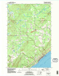
 1992 Lakewood1995 Print · USGSThe North Shore of Lake Superior comes into focus in the early nineties as the outskirts of Duluth meet Lakewood. Trace the historic winding paths of Old North Shore Road and Lester River as they follow the rugged elevation of Moose Mountain.2 unique versions available
 - 1992 Map of Knife River, 1995 Print
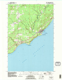 1992 Knife River1995 Print · USGSThe Lake Superior shoreline northeast of Duluth is captured here in the early nineties, showing the transition from lakeside settlements to inland forest. Trace family sites near Palmers and the Lake View Cem, or follow the course of the Knife River to Granite Point.
 - 1992 Map of French River, 1995 Print
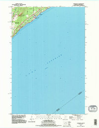
 1992 French River1995 Print · USGSThe North Shore of Lake Superior comes alive in the early 1990s as it transitions from the forested township of Normanna to the shoreline. Researchers can trace the coastal settlement of Clifton or locate the Normanna Cem and several vital waterways like the French River.
 - 1994 Map of Ely
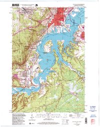
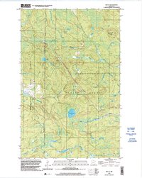
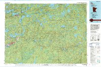 1994 Ely1994 Print · USGSEly and the surrounding Iron Range country are shown here in the mid-1990s, where mining operations meet the edge of the great northern wilderness. Researchers can trace the development of Babbitt, locate the Mine sites, or explore the vast lake networks of the Boundary Waters Canoe Area Wilderness.
 - 1994 Map of Vermillion Lake
 1994 Vermillion Lake1994 Print · USGSThe Mesabi Iron Range meets the North Woods in the 1990s, showcasing the heavy industrial footprint of the Duluth Missabe & Iron Range RR. Trace the sprawling works of the Mines near Virginia or the intricate island shorelines of Vermilion Lake.
 - 1994 Map of Aitkin
 1994 Aitkin1994 Print · USGSIn the mid-1990s, the lake country of central Minnesota remained a patchwork of state forests and rail-linked settlements. Researchers can trace the legacy of the Soo Line through towns like McGregor and Aitkin, or explore the vast reaches of the Savanna State Forest and Rice Lake.
 - 1997 Map of West Duluth, 1999 Print
 1997 West Duluth1999 Print · USGSThe industrial heart of the Twin Ports comes alive in this late-century study of the riverfront and its rail-connected neighborhoods. Genealogists and historians can trace family roots through Oneota Cemetery or locate old school sites like St Patricks Sch and Stowe Sch.
 - 1999 Map of Kempton Bay, 2003 Print
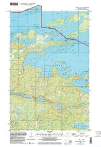
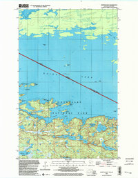 1999 Kempton Bay2003 Print · USGSThe international border through St. Louis County is defined by a maze of islands and deep bays in the late nineties. Researchers can trace historical water routes past Big Island, locate remote Campsite locations, and identify landmarks like Manitou Rock and Windmill Rock.
 - 1999 Map of Cranberry Bay, 2003 Print
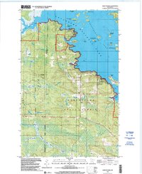
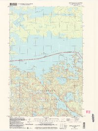
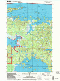 1999 Cranberry Bay2003 Print · USGSThe Minnesota-Ontario borderlands at the end of the century are captured here, showcasing the watery expanse of the northern frontier. Researchers can trace historic transit routes like the Winter Trail and locate family landmarks such as Cemetery Island.
 - 1999 Map of Namakan Island, 2003 Print
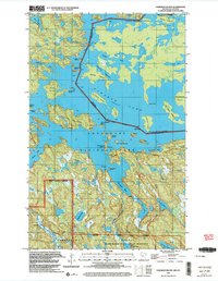 1999 Namakan Island2003 Print · USGSThe wilderness of the Minnesota-Ontario border comes into focus in the late nineties, documenting the complex island chains of Namakan Lake. Historians and boaters can trace legacy landmarks like the Mica Mine, Squirrel Falls Dam, and the intersection of three major forest and park boundaries.
 - 1999 Map of Soldier Point, 2003 Print
 1999 Soldier Point2003 Print · USGSThe northern boundary waters of St. Louis County are captured here at the turn of the millennium within the bounds of Voyageurs National Park. Traces of the region's wilderness travel are preserved through inland Portages and remote sites near Locator Lake and Soldier Point.
 - 1999 Map of Ash River SW, 2003 Print
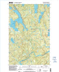
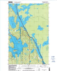
 1999 Ash River SW2003 Print · USGSThe Arrowhead region of Minnesota in the late twentieth century reveals a landscape defined by state forestry and winding river systems. Genealogists and local researchers can trace the vicinity of Kinmount, the Our Lady of Fatima Ch, and the persistent Old Railroad Grade.
 - 1999 Map of Ray SE, 2003 Print
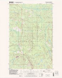
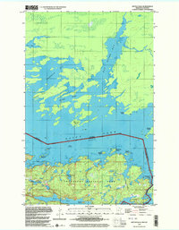
 1999 Ray SE2003 Print · USGSThe Northwoods of St. Louis County are captured here at the close of the twentieth century, showing a landscape defined by timber and water. Researchers can trace the path of the Rat Root River, find the Kabetogama Lookout Tower, and locate remote points like Arbutus.
 - 1999 Map of Ash River SE, 2003 Print
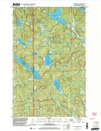
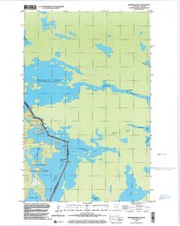
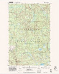 1999 Ash River SE2003 Print · USGSSt. Louis County's northern forests are captured at the turn of the millennium, showing a landscape defined by state-managed timberland and glacial lakes. Researchers can trace seasonal logging routes and water courses like Winter Road, Corner Lake, and the winding Ash River.
 - 1999 Map of Johnson Lake, 2003 Print
 1999 Johnson Lake2003 Print · USGSThe northern lake country of St. Louis County is captured here at the end of the century, showing the intersection of major timber and park lands. Researchers can trace historic water routes through Johnson Lake and locate specific sites like the Vermilion Falls Picnic Area and the Vermilion Gorge.
 - 1999 Map of Marion Lake, 2003 Print
 1999 Marion Lake2003 Print · USGSThe dense forests and glacial waters of St. Louis County are captured here at the close of the twentieth century. Trace the wilderness boundaries of the Superior National Forest and search for features like the Gravel Pit or Marion Lake.
 - 1999 Map of Ash River NE, 2003 Print
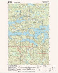 1999 Ash River NE2003 Print · USGSVoyageurs National Park and the surrounding state forest are shown here in the late 1990s as a complex maze of North Woods waterways and islands. Researchers can trace historical water routes through Blind Indian Narrows or locate landmarks like Cemetery Island and Ash River Falls.
 - 1999 Map of Daley Bay, 2003 Print
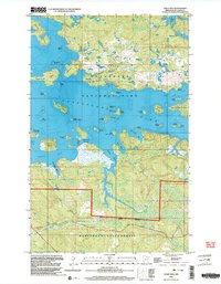 1999 Daley Bay2003 Print · USGSThe wilderness of St. Louis County is captured here at the close of the twentieth century within a network of glacial lakes and protected forests. Researchers can trace land and water boundaries between Voyageurs National Park and Kabetogama State Forest, identifying landmarks like Nashata Point, Moxie Island, and Shoepack Lake.
 - 1999 Map of Kabetogama, 2003 Print
 1999 Kabetogama2003 Print · USGSThe northern lake country comes alive in the late nineties, documenting the shoreline where the village meets the national park. Genealogists and historians can locate community landmarks like Kabetogama Ch, the St Jude Chapel, and the Wooden Frog Campground along the water.
 - 1999 Map of Crane Lake, 2003 Print
 1999 Crane Lake2003 Print · USGSSt. Louis County's northern boundary at the turn of the millennium was a landscape of intricate waterways and forest preserves. Researchers can trace the water routes from Crane Lake through King Williams Narrows and locate local landmarks like the Crane Lake Chapel.
 - 1999 Map of Kettle Falls, 2003 Print
 1999 Kettle Falls2003 Print · USGSNorthern Minnesota’s watery borderlands are mapped in detail during the late nineties, capturing the rugged lake systems of Voyageurs National Park. Trace historical routes through Friendly Passage or identify local landmarks like Kettle Falls and Surveyors Island.
 - 1999 Map of Swansons Bay, 2003 Print
 1999 Swansons Bay2003 Print · USGSThe international waters of the Minnesota-Ontario border come into focus in this late twentieth-century survey. Outdoorsmen and historians can trace canoe routes and wilderness camps through Namakan Narrows, Swansons Bay, and Lady Rapids.
 - 1999 Map of Blind Pig Island, 2004 Print
 1999 Blind Pig Island2004 Print · USGSThe Minnesota-Ontario borderlands at the end of the millennium show a preserved wilderness of interconnected waterways and islands. Discover traditional lake access points and secluded Campsites along Namakan Lake and the shores of Blind Pig Island.
End of results
Showing maps 1-24 of 24
Top cities of Saint Louis County
- Duluth historical maps
- Hibbing historical maps
- Hermantown historical maps
- Virginia historical maps
- Chisholm historical maps
- Eveleth historical maps
See more
Frequently asked questions
- What are the different types of historical maps available for Saint Louis County?
- What is the oldest map of Saint Louis County?
- Where can I purchase historical maps of Saint Louis County for my home or office?
- Where can I download high-res historical maps of Saint Louis County?
- Are there historical topographic maps available for Saint Louis County?
- Is there historical aerial imagery available for Saint Louis County?
- Where are historical maps of Saint Louis County sourced from?