2010s Maps of Saint Louis County, Minnesota
Explore 624 historic maps of Saint Louis County from the 2010s. These maps offer a rare glimpse into what life looked like during the 2010s — showing old roads, neighborhoods, homes, and landmarks that have changed or disappeared over time.
Whether you're researching your family's past, planning a metal detecting trip, or studying how Saint Louis County's landscape evolved across the 2010s, these high-resolution maps are a powerful tool for exploring the history of this region.
- Focus on a specific era: All maps on this page are from the 2010s, giving you a focused view of this time period.
- See what’s changed: Compare century-old streets, trails, and buildings to today's modern landscape using overlays and satellite layers.
- Research with precision: Use these maps for genealogy, historical research, land use analysis, or educational projects.
- View, download, or print: Maps are fully viewable online in high resolution, and can be downloaded or printed for your own records.
Start exploring Saint Louis County's history through authentic maps from the 2010s. This is your window into the past.
Saint Louis County, MN maps
(624)- 2010 Map of Saginaw, 2010 Print
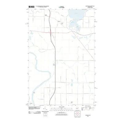 2010 Saginaw2010 Print · USGSSaginaw and the surrounding lake country appear in this 2010 survey as a network of rural homesteads and winding waterways. Researchers can locate the Saginaw Post Office, trace the Saint Louis River around Pine Island, and find family sites at Brevator Cemetery.
 - 2010 Map of Independence, 2010 Print
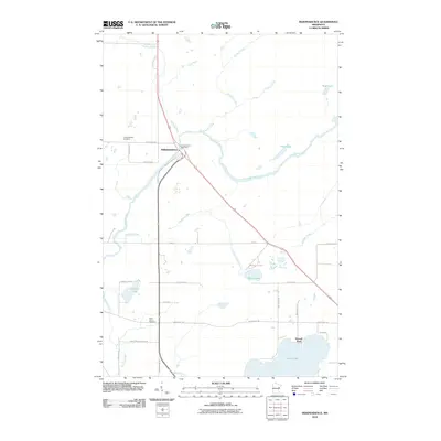 2010 Independence2010 Print · USGSNorthern Minnesota lake country comes into focus in this 2010 study centered on the settlement of Independence. Genealogists and local researchers can trace family landmarks at Independence Cemetery, Saint Johns Cemetery, and the shores of Grand Lake.
 - 2010 Map of Keewatin, 2010 Print
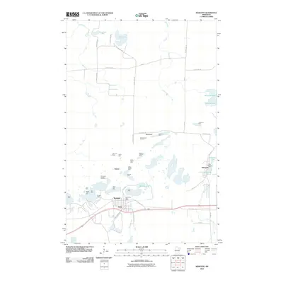 2010 Keewatin2010 Print · USGSThe Iron Range township of Keewatin and the nearby community of Kelly Lake are shown at the height of modern mining activity. Researchers can trace family history through the Keewatin Cemetery or explore the massive footprints of the Stein Mine and Bennett Mine.
 - 2010 Map of Barrs Lake, 2010 Print
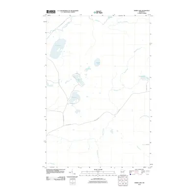 2010 Barrs Lake2010 Print · USGSNormanna Township was a landscape of dense woods and glacial waters during the early 2000s. Researchers can trace the drainage of the Little Cloquet River and locate secluded shorelines at Lieuna Lake, Briar Lake, and Barrs Lake.
 - 2010 Map of Silverdale, 2010 Print
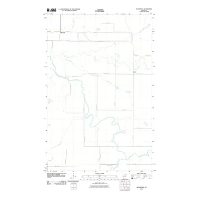 2010 Silverdale2010 Print · USGSSilverdale and the surrounding Koochiching County wetlands are documented here in the early twenty-first century. Researchers can trace local lineages through the Greaney Cemetery and family-named landmarks like Sethers Rd and Halvorson Rd.
 - 2010 Map of Little Prairie Lake, 2010 Print
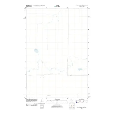 2010 Little Prairie Lake2010 Print · USGSBeseman Township at the start of the decade is defined by its deep woods and winding waterways. Researchers can trace the boundaries of the Savanna State Frst and the shorelines of Little Prairie Lake and Roosevelt Lake.
 - 2010 Map of Fredenberg, 2010 Print
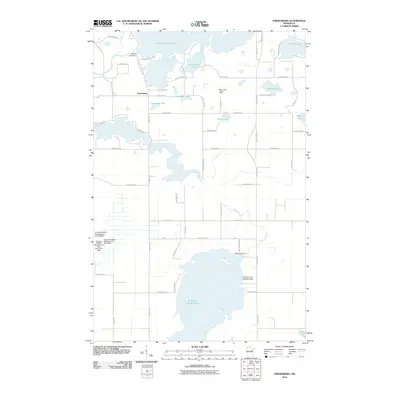 2010 Fredenberg2010 Print · USGSFredenberg and the surrounding lake country appear in high detail at the start of the twenty-first century. Researchers can trace local water management systems and aviation history through features like Island Lake Dam and the Wild Rice Lake Seaplane Base.
 - 2010 Map of Brookston NW, 2010 Print
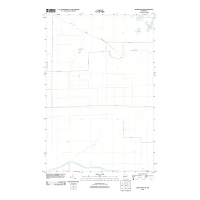 2010 Brookston NW2010 Print · USGSSaint Louis County is captured here in the early 2000s, showing a quiet landscape of North Woods hydrology and rural roads. Historians and residents can trace local routes like Richardson Rd and Mack Rd as they navigate between Spider Lake and the Saint Louis River.
 - 2010 Map of West Duluth, 2010 Print
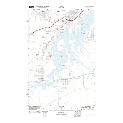 2010 West Duluth2010 Print · USGSThe industrial and recreational landscape of the lower Saint Louis River is captured here in the early twenty-first century. Researchers can trace the boundaries of historic company towns like Morgan Park or locate family plots at Oneota Cemetery and Calvary Cemetery.
 - 2010 Map of Superior, 2010 Print
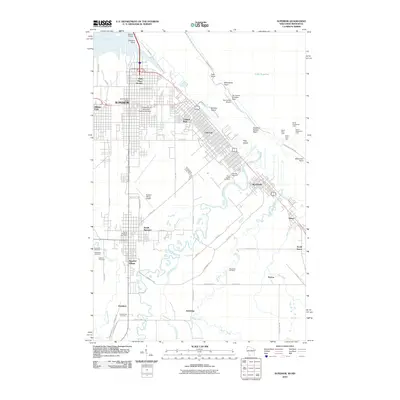 2010 Superior2010 Print · USGSThe Lake Superior shoreline and the busy port of Superior are captured here in the early twenty-first century. Researchers can trace family history through numerous local landmarks like Riverside Cemetery, the University of Wisconsin-Superior Campus, and Barkers Island.
 - 2010 Map of Alborn, 2010 Print
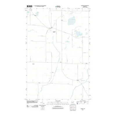 2010 Alborn2010 Print · USGSThe Alborn area of Saint Louis County is documented here at the start of the 2010s, showing a landscape defined by its river valleys and rail history. Genealogists and local historians can trace the locations of the Indian Cemetery, Alborn Post Office, and the junction at Coleraine Junction.
 - 2010 Map of Brookston, 2010 Print
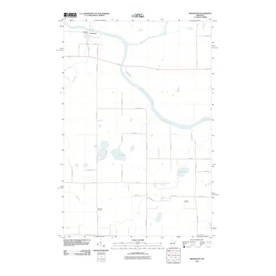 2010 Brookston2010 Print · USGSBrookston and the surrounding river valleys are captured here at the start of the decade. Genealogists and local historians can trace family road names and locate rural landmarks like Birch Lake Cemetery and the Brookston Post Office.
 - 2010 Map of Twig, 2010 Print
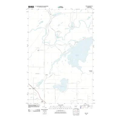 2010 Twig2010 Print · USGSSaint Louis County at the turn of the decade reveals a landscape of reservoirs and rural junctions. Genealogists and local historians can trace the settlement at Twig, find the Grand Lake Cemetery, and locate the old Twig Post Office.
 - 2010 Map of Silica, 2010 Print
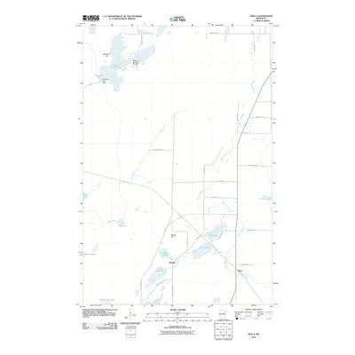 2010 Silica2010 Print · USGSSaint Louis County's Iron Range hinterland comes into focus in the early 2000s, showing a landscape of managed waterways and small settlements. Genealogists and locals can trace the areas around Silica, Bengal, and the banks of the West Swan River.
 - 2010 Map of McCarthy Creek, 2010 Print
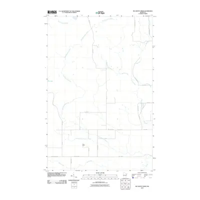 2010 McCarthy Creek2010 Print · USGSSaint Louis County is documented here in the early twenty-first century as a landscape of timber-industry history and river networks. You can trace the path of the Drummond Grade or locate the Molde Lookout Tower near Captain Jacobson Creek.
 - 2010 Map of King Lake, 2010 Print
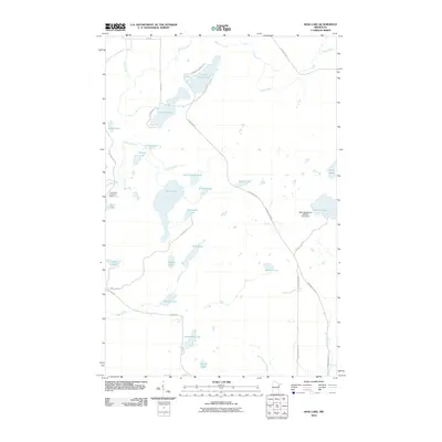 2010 King Lake2010 Print · USGSSaint Louis County is documented here in the early twenty-first century, showing a landscape defined by its many lakes and Northwoods drainage basins. Researchers can trace the path of the Drummond Grade and locate features like the Pequaywan Lookout Tower and Sawmill Lake.
 - 2010 Map of Prairie Lake, 2010 Print
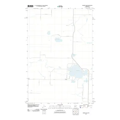 2010 Prairie Lake2010 Print · USGSNorthern Minnesota lake country remains largely rural and water-dominated in the early twenty-first century. Genealogists and local historians can locate burial grounds and family-named landmarks including Prairie Lake Cemetery, Fine Lakes Cemetery, and Meander Lake.
 - 2010 Map of Floodwood Lake, 2010 Print
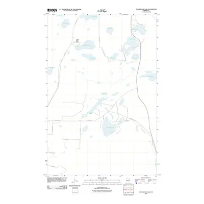 2010 Floodwood Lake2010 Print · USGSSaint Louis County's glacial lake country is mapped here in the early twenty-first century, showing a region defined by its water and woods. Trace local landmarks like the Floodwood Lake Dam, the Gospel Ranch Airport, and family-named routes such as Lahti Rd.
 - 2010 Map of Duluth Heights, 2010 Print
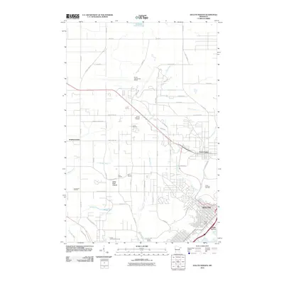 2010 Duluth Heights2010 Print · USGSThe upland plateau above Lake Superior comes into focus here in the early twenty-first century, showing the expansion of Hermantown and Duluth Heights. Local historians can trace family roots at Sunrise Memorial Cemetery or locate the Proctor Speedway/Fairgrounds.
 - 2010 Map of Adolph, 2010 Print
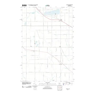 2010 Adolph2010 Print · USGSSaint Louis County is captured here in the early twenty-first century, showing the rural communities between Duluth and the iron ranges. Researchers can trace family history at Canosia Cemetery or locate the old Adolph Post Office and the settlement of Munger.
 - 2010 Map of Pequaywan Lake, 2010 Print
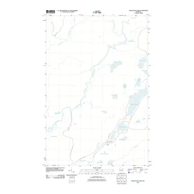 2010 Pequaywan Lake2010 Print · USGSSaint Louis County's lake-dotted wilderness is documented here just after the first decade of the millennium. Outdoor historians can trace the course of the Cloquet River past Smith Lake Dam or locate secluded shores like Santa Claus Lake and Wigwam Lake.
 - 2010 Map of Island, 2010 Print
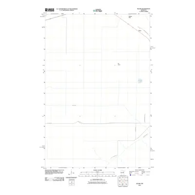 2010 Island2010 Print · USGSNorthwoods rail and rural road networks define the landscape near Island and Big Island at the turn of the decade. Genealogists and historians can trace local travel and settlement along Saint Vincent Rd and Hartley Spur.
 - 2010 Map of Martin Lake, 2010 Print
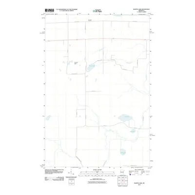 2010 Martin Lake2010 Print · USGSNorthern Carlton County is captured here in the early 2000s, showing a quiet landscape of wetlands and timberland near the Saint Louis River. Researchers can locate the Arrowhead Cemetery and the Arrowhead Lookout Tower among family-named roads like McCamus Rd.
 - 2010 Map of Cranberry Bay, 2010 Print
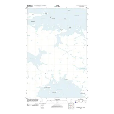 2010 Cranberry Bay2010 Print · USGSThe international borderlands of Northern Minnesota and Ontario appear here in great detail at the start of the 2010s. Trace old navigation and portage routes between Rainy Lake and Kabetogama Lake, passing through Gold Portage and Cemetery Island.
 - 2010 Map of Zim, 2010 Print
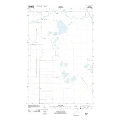 2010 Zim2010 Print · USGSNortheastern Minnesota's mining and timber country is documented here during the early 2000s, centered on the unincorporated communities of Zim and Forbes. Genealogists and local historians can trace the Forbes Cemetery and the industrial scale of the Eveleth Taconite Tailings Basin.
Showing maps 1-25 of 624
Top cities of Saint Louis County
- Duluth historical maps
- Hibbing historical maps
- Hermantown historical maps
- Virginia historical maps
- Chisholm historical maps
- Eveleth historical maps
See more
Frequently asked questions
- What are the different types of historical maps available for Saint Louis County?
- What is the oldest map of Saint Louis County?
- Where can I purchase historical maps of Saint Louis County for my home or office?
- Where can I download high-res historical maps of Saint Louis County?
- Are there historical topographic maps available for Saint Louis County?
- Is there historical aerial imagery available for Saint Louis County?
- Where are historical maps of Saint Louis County sourced from?