2010s Maps of Ault Township, Minnesota
Explore 24 historic maps of Ault Township from the 2010s. These maps offer a rare glimpse into what life looked like during the 2010s — showing old roads, neighborhoods, homes, and landmarks that have changed or disappeared over time.
Whether you're researching your family's past, planning a metal detecting trip, or studying how Ault Township's landscape evolved across the 2010s, these high-resolution maps are a powerful tool for exploring the history of this region.
- Focus on a specific era: All maps on this page are from the 2010s, giving you a focused view of this time period.
- See what’s changed: Compare century-old streets, trails, and buildings to today's modern landscape using overlays and satellite layers.
- Research with precision: Use these maps for genealogy, historical research, land use analysis, or educational projects.
- View, download, or print: Maps are fully viewable online in high resolution, and can be downloaded or printed for your own records.
Start exploring Ault Township's history through authentic maps from the 2010s. This is your window into the past.
Ault Township, MN maps
(24)- 2010 Map of King Lake, 2010 Print
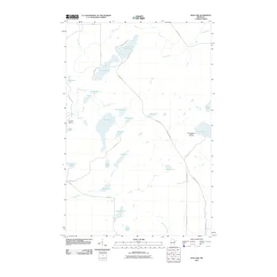 2010 King Lake2010 Print · USGSSaint Louis County is documented here in the early twenty-first century, showing a landscape defined by its many lakes and Northwoods drainage basins. Researchers can trace the path of the Drummond Grade and locate features like the Pequaywan Lookout Tower and Sawmill Lake.
 - 2010 Map of Pequaywan Lake, 2010 Print
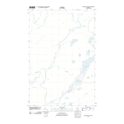 2010 Pequaywan Lake2010 Print · USGSSaint Louis County's lake-dotted wilderness is documented here just after the first decade of the millennium. Outdoor historians can trace the course of the Cloquet River past Smith Lake Dam or locate secluded shores like Santa Claus Lake and Wigwam Lake.
 - 2010 Map of Boulder Lake Reservoir NE, 2010 Print
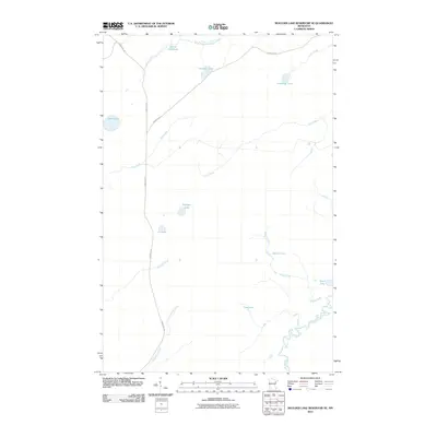 2010 Boulder Lake Reservoir NE2010 Print · USGSSaint Louis County's glacial landscape is documented here in the early 2000s, showing the intricate waterway network near Ault Township. Trace the historic route of the Vermilion Trl as it passes Sullivan Lake and the winding course of the Cloquet River.
 - 2011 Map of Harris Lake, 2011 Print
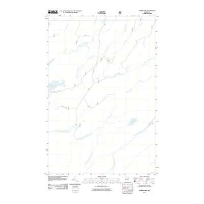 2011 Harris Lake2011 Print · USGSSaint Louis County at the turn of the decade is depicted here as a landscape of timber-country trails and winding river branches. Researchers can trace the winding course of the North Branch Whiteface River or locate remote landmarks like Harris Lake and Camp 26 Trl.
 - 2011 Map of Fairbanks, 2011 Print
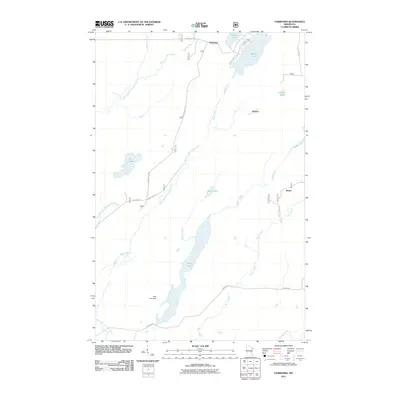 2011 Fairbanks2011 Print · USGSSaint Louis County's northern timberlands and lake country are captured here in the early twenty-first century. Genealogists and researchers can trace the roads and waterways connecting Fairbanks, Hornby, and Breda, alongside landmarks like Wolf Lake Dam.
 - 2011 Map of Brimson, 2011 Print
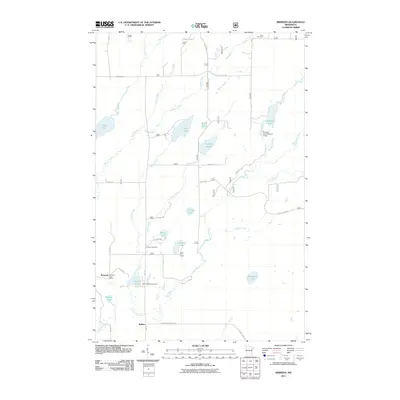 2011 Brimson2011 Print · USGSBrimson and the surrounding lakelands are shown here in the early twenty-first century, before changes in forest management and rural infrastructure. Researchers can locate family landmarks like the Brimson Cemetery, the Brimson Post Office, and the Camp FE House.
 - 2013 Map of Pequaywan Lake, 2013 Print
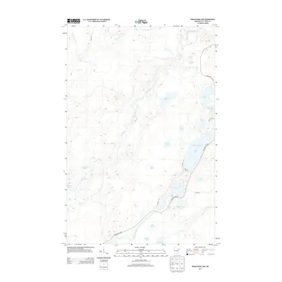 2013 Pequaywan Lake2013 Print · USGSSaint Louis County’s wooded lake country is captured here during the early twenty-first century. Researchers can trace local lakefront development and backcountry access routes near Pequaywan Lake, Santa Claus Lake, and the Cloquet River.
 - 2013 Map of Boulder Lake Reservoir NE, 2013 Print
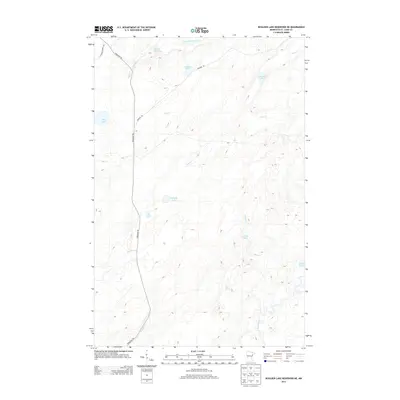 2013 Boulder Lake Reservoir NE2013 Print · USGSSaint Louis County's lake-strewn wilderness is captured here in the early twenty-first century, showing a landscape defined by glacial waters and forest tracks. Local historians can trace the route of the Vermilion Trl as it passes landmarks like Sullivan Lake and the Cloquet River.
 - 2013 Map of King Lake, 2013 Print
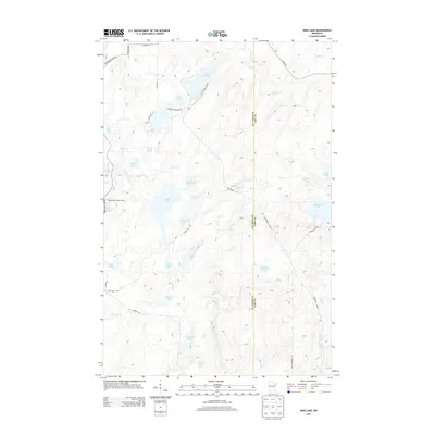 2013 King Lake2013 Print · USGSUpper Minnesota lake country is meticulously documented in the early twenty-first century, showcasing the wetland networks of Ault Township. Researchers can trace the timber and transit history of the region via the Drummond Grade or locate landmarks like the Pequaywan Lookout Tower and Stone Lake.
 - 2013 Map of Brimson, 2013 Print
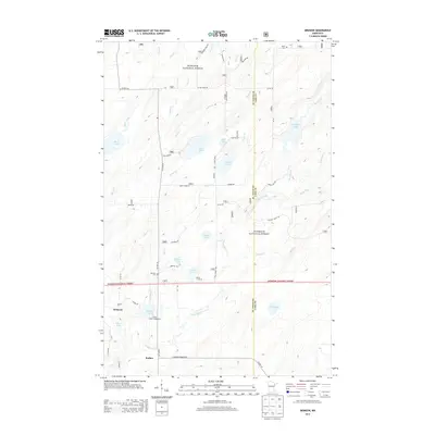 2013 Brimson2013 Print · USGSNortheastern Minnesota's timberlands and lake country are captured here in the early twenty-first century as the area serves as a gateway to the north woods. Researchers can locate family landmarks like Brimson Cem, the settlement at Rollins, and Indian Lake Campground.
 - 2013 Map of Fairbanks, 2013 Print
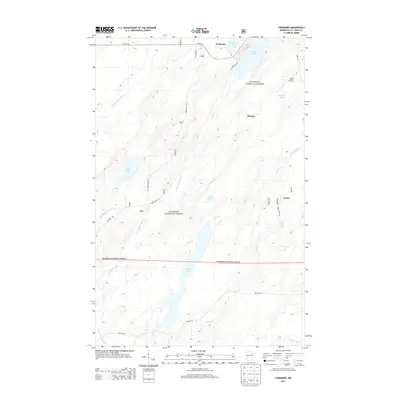 2013 Fairbanks2013 Print · USGSFairbanks and the surrounding timberlands of Saint Louis County are shown here during the early twenty-first century. Researchers can trace the layout of small settlements like Hornby and Breda or explore the waterways of Cadotte Lake and the Cloquet River.
 - 2013 Map of Harris Lake, 2013 Print
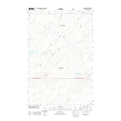 2013 Harris Lake2013 Print · USGSSaint Louis County's deep woods are documented here during the early twenty-first century, showcasing the complex water networks of the North Country. Researchers can trace the paths of Camp 26 Trl and Moose Line Rd through the Superior National Forest.
 - 2016 Map of Pequaywan Lake, 2016 Print
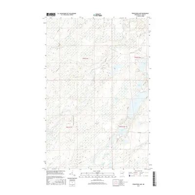 2016 Pequaywan Lake2016 Print · USGSSaint Louis County's lake-and-river wilderness is captured here in the mid-2010s, showing a remote landscape of forest management and quiet waters. Trace local history through family-named landmarks like Holmsey Lake and trails such as the Marshall Trl.
 - 2016 Map of Brimson, 2016 Print
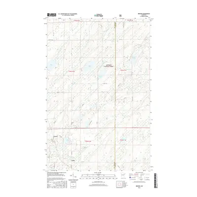 2016 Brimson2016 Print · USGSBrimson and Rollins sit within the Superior National Forest during the mid-2010s, surrounded by a complex network of glacial lakes and river systems. Researchers can locate the Brimson Cem and trace the paths of the Cloquet River past Norton Lake and Papoose Lake.
 - 2016 Map of King Lake, 2016 Print
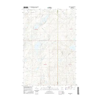 2016 King Lake2016 Print · USGSThe North Woods near the St. Louis and Lake county line are mapped here in the mid-2010s, showing a complex landscape of glacial lakes and river headwaters. Researchers can trace the winding Drummond Grade or locate remote camps near King Lake and Stewart Lake.
 - 2016 Map of Fairbanks, 2016 Print
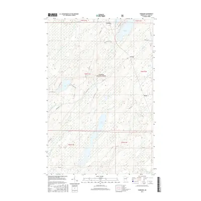 2016 Fairbanks2016 Print · USGSSaint Louis County's forested northern reaches are documented here in the mid-2010s within the Superior National Forest. Local researchers can trace the roads and water networks connecting Fairbanks, Hornby, and Breda near Wolf Lake.
 - 2016 Map of Boulder Lake Reservoir NE, 2016 Print
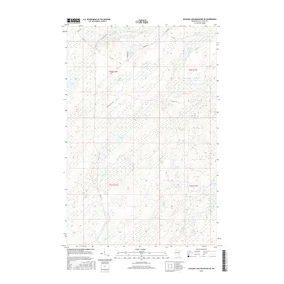 2016 Boulder Lake Reservoir NE2016 Print · USGSSaint Louis County in the mid-2010s is characterized here by its dense river networks and scattered lakes. Researchers can trace forest access via Camp 26 Trl and Marshall Truck Trl or locate the shoreline of Hulligan Lake and Sullivan Lake.
 - 2016 Map of Harris Lake, 2016 Print
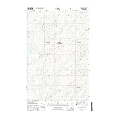 2016 Harris Lake2016 Print · USGSSaint Louis County's lake country is documented here in the mid-2010s, showing a landscape shaped by the North Branch Whiteface River and Whiteface Reservoir. Researchers can trace forest access routes like NE Grade Rd to reach Harris Lake and Pietila Mountain.
 - 2019 Map of Harris Lake, 2019 Print
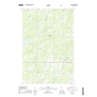 2019 Harris Lake2019 Print · USGSSaint Louis County in the modern era remains a landscape of deep timber and winding waterways. Researchers can trace forest access and family-named roads like Savolaine Road and Pietila-Wood Boutain or explore the shores of Harris Lake.
 - 2019 Map of Boulder Lake Reservoir NE, 2019 Print
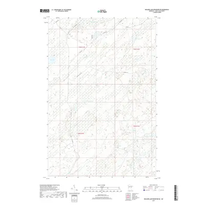 2019 Boulder Lake Reservoir NE2019 Print · USGSSaint Louis County at the end of the 2010s shows a landscape of northern forests and glacial lakes shaped by the Cloquet River. Map collectors and outdoorsmen can trace remote routes like Camp 26 Trl and Ne Grade Rd past Huligan Lake and American Lake.
 - 2019 Map of Pequaywan Lake, 2019 Print
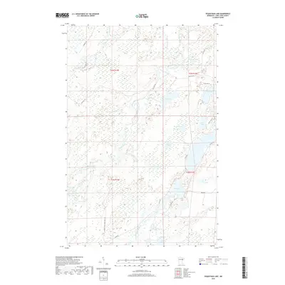 2019 Pequaywan Lake2019 Print · USGSSaint Louis County's lake-rich timberlands are documented here just before the turn of the decade, showing a landscape defined by water and forest management. Researchers can trace the winding Cloquet River and locate seasonal landmarks like Santa Claus Lake or Wigwam Lake.
 - 2019 Map of Brimson, 2019 Print
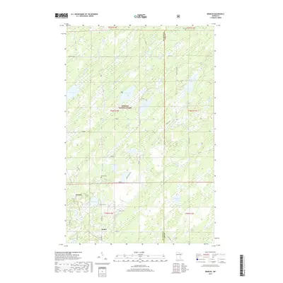 2019 Brimson2019 Print · USGSThe wooded lake country of northeastern Minnesota is captured here just before the 2020s, showing the intersection of Saint Louis and Lake Counties. Local researchers can trace family roots at Brimson Cem and Toimi Cem or explore the drainage of the Cloquet River.
 - 2019 Map of Fairbanks, 2019 Print
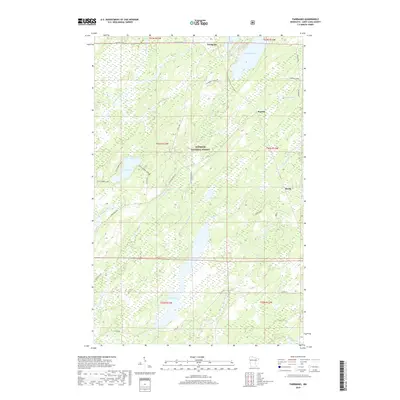 2019 Fairbanks2019 Print · USGSSaint Louis County is documented here in the late 2010s, showing a remote landscape of the Arrowhead Region intertwined with timber and water. You can trace early forest settlements like Fairbanks and Hornby alongside numerous lakes including Cadotte Lake and Wolf Lake.
 - 2019 Map of King Lake, 2019 Print
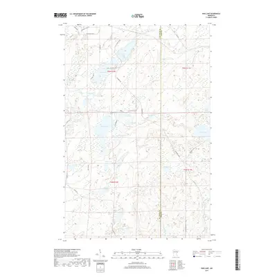 2019 King Lake2019 Print · USGSThe border of St. Louis and Lake counties in 2019 reveals a landscape of dense timber and glacial waters. Researchers can trace the timber-hauling history of the Drummond Grade and explore the shorelines of King Lake and Little Stone Lake.
End of results
Showing maps 1-24 of 24
Top cities near Ault Township
Top neighborhoods of Ault Township
Frequently asked questions
- What are the different types of historical maps available for Ault Township?
- What is the oldest map of Ault Township?
- Where can I purchase historical maps of Ault Township for my home or office?
- Where can I download high-res historical maps of Ault Township?
- Are there historical topographic maps available for Ault Township?
- Is there historical aerial imagery available for Ault Township?
- Where are historical maps of Ault Township sourced from?