2020s Maps of Hoyt Lakes, Minnesota
Explore 6 historic maps of Hoyt Lakes from the 2020s. These maps offer a rare glimpse into what life looked like during the 2020s — showing old roads, neighborhoods, homes, and landmarks that have changed or disappeared over time.
Whether you're researching your family's past, planning a metal detecting trip, or studying how Hoyt Lakes's landscape evolved across the 2020s, these high-resolution maps are a powerful tool for exploring the history of this region.
- Focus on a specific era: All maps on this page are from the 2020s, giving you a focused view of this time period.
- See what’s changed: Compare century-old streets, trails, and buildings to today's modern landscape using overlays and satellite layers.
- Research with precision: Use these maps for genealogy, historical research, land use analysis, or educational projects.
- View, download, or print: Maps are fully viewable online in high resolution, and can be downloaded or printed for your own records.
Start exploring Hoyt Lakes's history through authentic maps from the 2020s. This is your window into the past.
Hoyt Lakes, MN maps
(6)- 2022 Map of Embarrass, 2022 Print
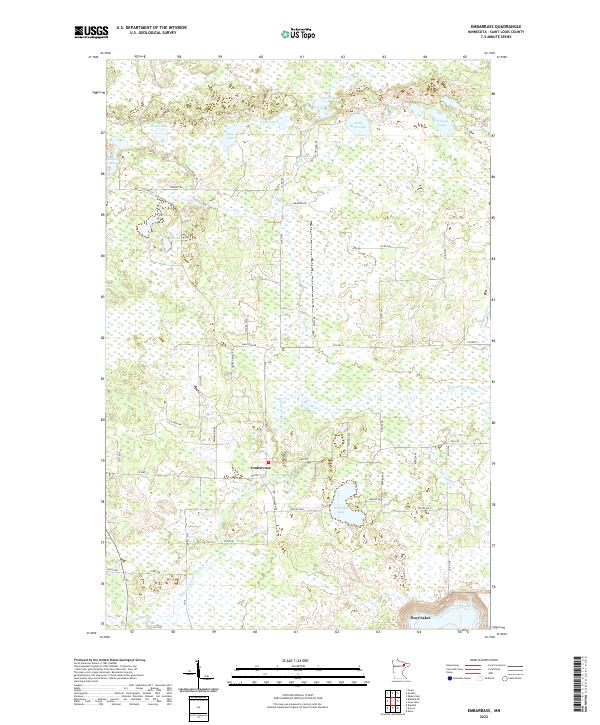 2022 Embarrass2022 Print · USGSThe rural Iron Range country near Embarrass comes into focus in this recent survey of St. Louis County. Genealogists and local historians can trace legacy family-named routes such as Hanka Nevala Rd and find the headwaters of the Embarrass River.
 - 2022 Map of Allen, 2022 Print
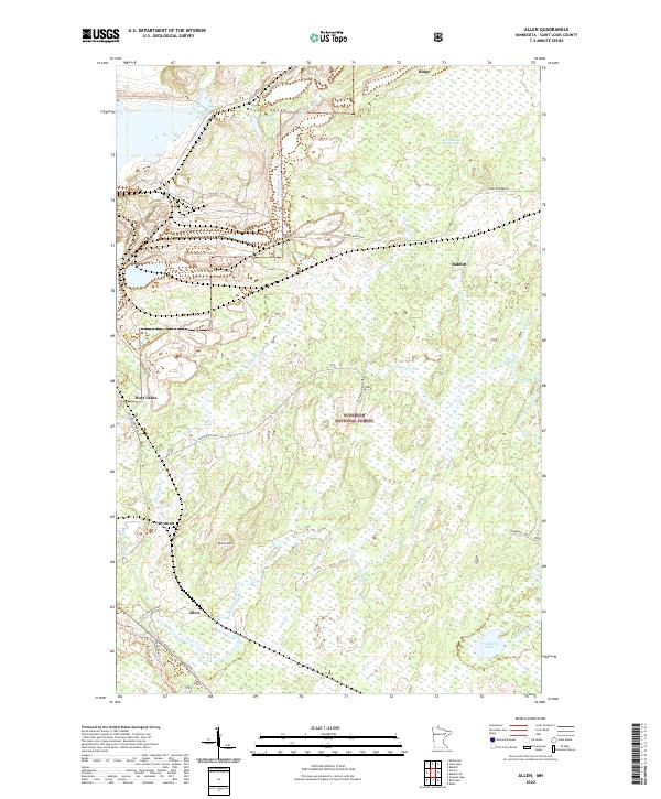 2022 Allen2022 Print · USGSSt. Louis County's iron range country is documented here in recent decades, showing the intersection of industrial mining and protected forest lands. Researchers can trace the routes between Allen, Wyman, and Hoyt Lakes or explore the drainage of the One Hundred Mile Swamp near the Mesabi Range.
 - 2022 Map of Bird Lake, 2022 Print
 2022 Bird Lake2022 Print · USGSSt. Louis County's wooded interior comes into focus during the early 2020s, showing the intersection of managed timberlands and northern waterways. Genealogists and local historians can trace legacy routes like the Pequaywan Trl or explore the drainage of Shiver Cr near Bird Lake.
 - 2022 Map of Isaac Lake, 2022 Print
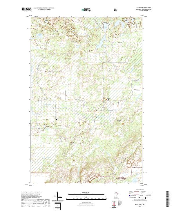 2022 Isaac Lake2022 Print · USGSThe northern Mesabi Range and the Superior National Forest meet in this 2020 survey of the Babbitt and Hoyt Lakes area. Genealogists and local historians can trace family-named roads like Teinila Rd and locate the Argo and Armanda cemeteries.
 - 2022 Map of Aurora, 2022 Print
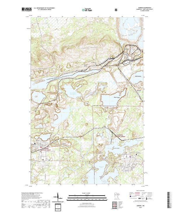 2022 Aurora2022 Print · USGSIron Range mining and settlement come into focus in this modern era, documenting the industrial landscape near the Mesabi Range. Genealogists can trace family sites at the Czechoslovakian National Cem or explore the geography of Old Mesaba and the Erie Mine Number One Pit.
 - 2022 Map of Turpela Lake, 2022 Print
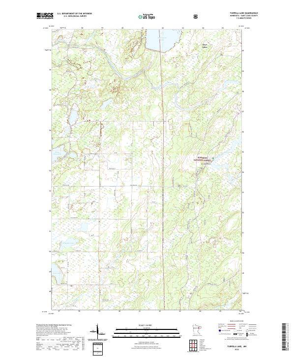 2022 Turpela Lake2022 Print · USGSSaint Louis County's wooded interior is captured here in the early twenty-first century, featuring the southern reaches of Hoyt Lakes. Trace local history through the complex web of timber and mining trails like Mooseline Spur 791 and the waterways of the Saint Louis River.
End of results
Showing maps 1-6 of 6
Top cities near Hoyt Lakes
- Aurora historical maps
- Babbitt historical maps
- Biwabik historical maps
- Embarrass historical maps
- Fairbanks historical maps
Top neighborhoods of Hoyt Lakes
- Colby historical maps
- Mesaba historical maps
- Allen historical maps
- Hinsdale historical maps
- Wyman historical maps
- Old Mesaba historical maps
Frequently asked questions
- What are the different types of historical maps available for Hoyt Lakes?
- What is the oldest map of Hoyt Lakes?
- Where can I purchase historical maps of Hoyt Lakes for my home or office?
- Where can I download high-res historical maps of Hoyt Lakes?
- Are there historical topographic maps available for Hoyt Lakes?
- Is there historical aerial imagery available for Hoyt Lakes?
- Where are historical maps of Hoyt Lakes sourced from?