2010s Maps of Morse Township, Minnesota
Explore 24 historic maps of Morse Township from the 2010s. These maps offer a rare glimpse into what life looked like during the 2010s — showing old roads, neighborhoods, homes, and landmarks that have changed or disappeared over time.
Whether you're researching your family's past, planning a metal detecting trip, or studying how Morse Township's landscape evolved across the 2010s, these high-resolution maps are a powerful tool for exploring the history of this region.
- Focus on a specific era: All maps on this page are from the 2010s, giving you a focused view of this time period.
- See what’s changed: Compare century-old streets, trails, and buildings to today's modern landscape using overlays and satellite layers.
- Research with precision: Use these maps for genealogy, historical research, land use analysis, or educational projects.
- View, download, or print: Maps are fully viewable online in high resolution, and can be downloaded or printed for your own records.
Start exploring Morse Township's history through authentic maps from the 2010s. This is your window into the past.
Morse Township, MN maps
(24)- 2011 Map of Eagles Nest, 2011 Print
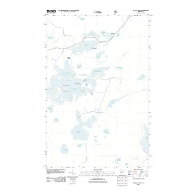 2011 Eagles Nest2011 Print · USGSThe Eagles Nest region of northern Minnesota is captured here in the early 2010s, showcasing a landscape of interconnected lakes and protected wilderness. Researchers can trace shoreline landmarks and small settlements like Robinson and McComber near Bear Head Lake State Park.
 - 2011 Map of Crab Lake, 2011 Print
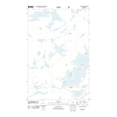 2011 Crab Lake2011 Print · USGSThe northern lake country of Saint Louis County is shown in detail during the early 2010s, featuring a vast system of interconnected glacial lakes and rivers. Researchers can trace remote water routes through Crab Lake, identify named landforms like Snellman Island, or locate southern access points along Wolf Lake Rd.
 - 2011 Map of Bear Island, 2011 Print
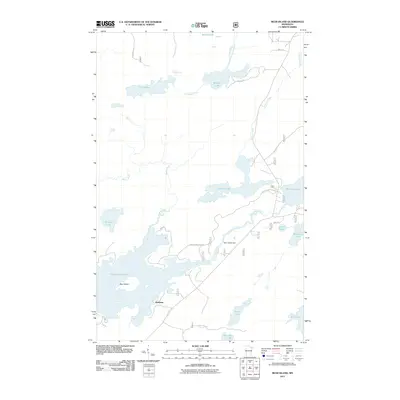 2011 Bear Island2011 Print · USGSSaint Louis County's lake country is detailed here at the start of the 2010s, centering on the waters around Bear Island Lake. Researchers can trace the settlement of Rothman and locate specific features like the Bear Island Dam or the shores of Muckwa Lake.
 - 2011 Map of Kangas Bay, 2011 Print
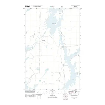 2011 Kangas Bay2011 Print · USGSSaint Louis County's lake-and-river network is captured here in the early 2000s, showcasing a landscape of interconnected waterways and remote airstrips. Researchers can locate family sites near Birch Lake Cemetery or trace the geography of Beargrease Island and Birch Lake Dam.
 - 2011 Map of Shagawa Lake, 2011 Print
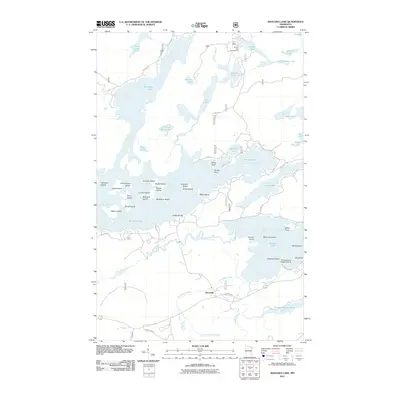 2011 Shagawa Lake2011 Print · USGSThe island-studded waters of the Boundary Waters vicinity are captured here in the early twenty-first century. Genealogists and local historians can trace family-named landmarks like Brownell Island or locate the Shagawa Lake Seaplane Base and the Pioneer Tailings Basin.
 - 2011 Map of Ely, 2011 Print
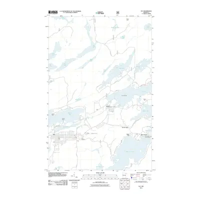 2011 Ely2011 Print · USGSMinnesota's Iron Range meets the edge of the wilderness in this decade, showing the lake-heavy landscape around Ely and Winton. Researchers can trace mining history at Pioneer Mine or explore settlement hubs like Section Thirty and the Winton Post Office.
 - 2013 Map of Eagles Nest, 2013 Print
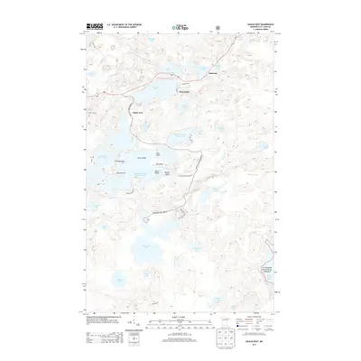 2013 Eagles Nest2013 Print · USGSThe Iron Range lake country comes into focus in this modern survey, showing the interconnected waters of the Eagles Nest area. Researchers can trace the shoreline developments of Bear Head Lake and locate small settlements like McComber and Robinson along the MN-1 highway.
 - 2013 Map of Bear Island, 2013 Print
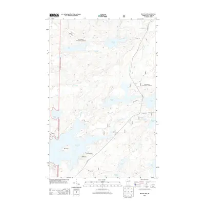 2013 Bear Island2013 Print · USGSRothman and the surrounding lake country of St. Louis County are captured here in the early twenty-first century. Genealogists and outdoor historians can trace property access near Bear Island Lake and Birch Lake via Bear Island Highlands Rd and Bear Island Cabin Dr.
 - 2013 Map of Shagawa Lake, 2013 Print
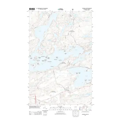 2013 Shagawa Lake2013 Print · USGSThe lake country near Ely is shown here in the early twenty-first century, just as the industrial and recreational landscapes of the Iron Range continue to evolve. Genealogists and local historians can trace the sites of Pioneer Tailings Basin, the settlement of Burntside, and the many islands of Burntside Lake.
 - 2013 Map of Ely, 2013 Print
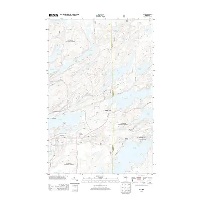 2013 Ely2013 Print · USGSThe Iron Range meets the northern lake country in this recent look at Ely and its surrounding wilderness. Genealogists and researchers can trace local landmarks like Ely Cemetery, the settlement of Winton, and the storied waters of Miners Lake.
 - 2013 Map of Crab Lake, 2013 Print
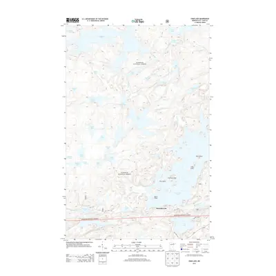 2013 Crab Lake2013 Print · USGSSaint Louis County's lake country is captured here in the early twenty-first century, showcasing a complex wilderness of interconnected waterways. Researchers can map out portage routes and island landmarks like Snellman Island, Crab Lake, and the remote Wolf Creek Pass.
 - 2013 Map of Kangas Bay, 2013 Print
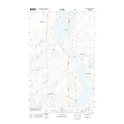 2013 Kangas Bay2013 Print · USGSThe Superior National Forest backcountry comes to life in this detailed survey of the Birch Lake area. Genealogists and historians can locate the Birch Lake Cem and trace recreation at the Birch Lake Campground or Ely Municipal Airport.
 - 2016 Map of Bear Island, 2016 Print
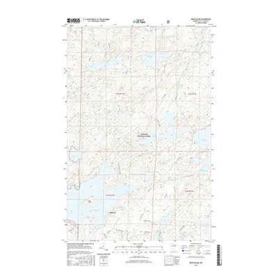 2016 Bear Island2016 Print · USGSSaint Louis County's lake country is captured here in the mid-2010s, showing a landscape defined by timber, water, and the Superior National Forest. Researchers can locate the settlement of Rothman or trace the shorelines of Bear Island Lake and Birch Lake.
 - 2016 Map of Kangas Bay, 2016 Print
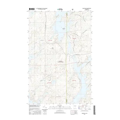 2016 Kangas Bay2016 Print · USGSSaint Louis and Lake Counties are shown here during the mid-2010s, capturing a landscape defined by the vast waters of the Superior National Forest. Researchers can locate family landmarks like the Birch Lake Cem and Beaver Farm alongside the Ely Municipal Airport.
 - 2016 Map of Ely, 2016 Print
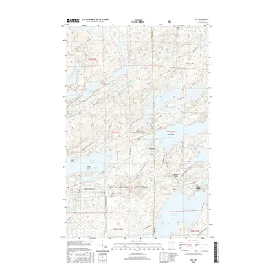 2016 Ely2016 Print · USGSThe Iron Range meets the Boundary Waters in this mid-2010s study of the area’s dense lake-and-trail systems. Genealogists and historians can locate Ely landmarks like the Ely Cem or trace old routes such as the Cloquet Line and Thirteen Corners Trail.
 - 2016 Map of Shagawa Lake, 2016 Print
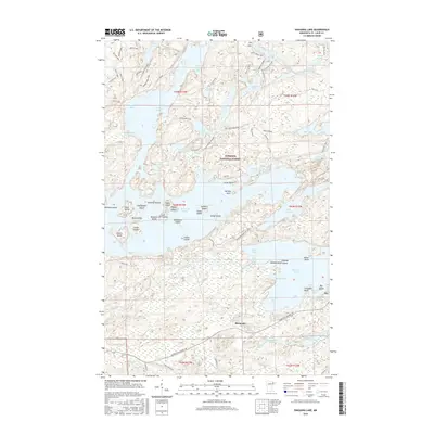 2016 Shagawa Lake2016 Print · USGSThe wilderness around Ely and the Superior National Forest comes into sharp focus here during the mid-2010s. Modern researchers can trace the intricate shorelines of Burntside Lake and Shagawa Lake while locating local landmarks like Old Baldy or the Pioneer Tailings Basin.
 - 2016 Map of Crab Lake, 2016 Print
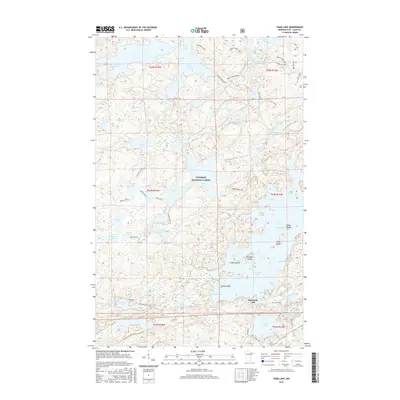 2016 Crab Lake2016 Print · USGSThe Boundary Waters wilderness of northeastern Minnesota is captured here during the mid-2010s, showing a landscape defined by glacial lakes and forest trails. Researchers can trace remote routes like the Cummings Loop and locate island landmarks such as Pine Island and Snellman Island on Burntside Lake.
 - 2016 Map of Eagles Nest, 2016 Print
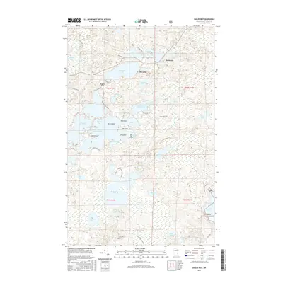 2016 Eagles Nest2016 Print · USGSThe interconnected waters of Saint Louis County are shown here in the mid-2010s, centered on the lakes of the Eagles Nest chain. Researchers can trace the layout of Bear Head Lake State Park and locate small communities like Robinson and McComber.
 - 2019 Map of Eagles Nest, 2019 Print
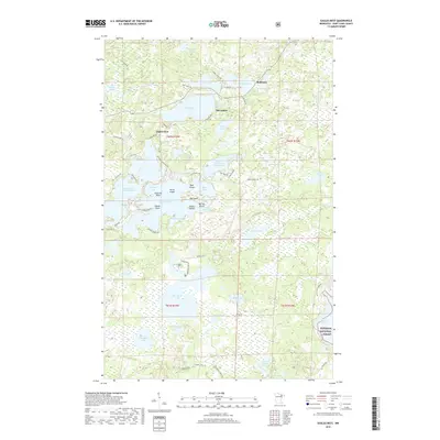 2019 Eagles Nest2019 Print · USGSThe lake-dotted landscape of northern Minnesota's Saint Louis County is shown here in the late twenty-tens. Researchers can trace landownership and access around Eagles Nest Lake Number Four, Bear Head Lake, and the settlement of Robinson.
 - 2019 Map of Crab Lake, 2019 Print
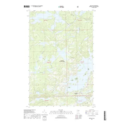 2019 Crab Lake2019 Print · USGSNortheastern Minnesota's lake country is captured here in the modern era, showing the intersection of Superior National Forest and local access roads. Trace old routes and water ways from Crab Lake to Burnside Lake or locate family-named features like Snellman Island.
 - 2019 Map of Ely, 2019 Print
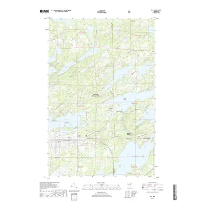 2019 Ely2019 Print · USGSEly and the surrounding Iron Range country are captured in this recent survey during a period of modern recreational growth. Genealogists and local historians can trace the streets of Winton, find Ely Cem, and locate the historic campus of Vermilion Community College.
 - 2019 Map of Kangas Bay, 2019 Print
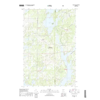 2019 Kangas Bay2019 Print · USGSThe Superior National Forest was a hub of seasonal activity and water-based transport in the late 2010s. Researchers can locate the 10 rch Lake Cem and trace recreation sites like Chippewa Shores or the Iron Birch Winter trail.
 - 2019 Map of Bear Island, 2019 Print
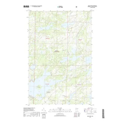 2019 Bear Island2019 Print · USGSThe North Woods of Saint Louis County are shown here during the late 2010s, centered on the complex waterways of the Superior National Forest. Local history researchers can trace the roads around Rothman or explore the shoreline features of Bear Island Lake and Birch Lake.
 - 2019 Map of Shagawa Lake, 2019 Print
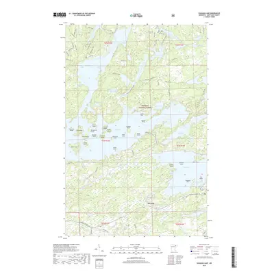 2019 Shagawa Lake2019 Print · USGSThe North Woods around Ely and the Burntside community are shown here in the late 2010s. Researchers can trace lakeside properties and portage points across Burntside Lake, Hoodoo Island, and the ridges of the Superior National Forest.
End of results
Showing maps 1-24 of 24
Top cities near Morse Township
Top neighborhoods of Morse Township
- Robinson historical maps
- Burntside historical maps
- Burntside Lake historical maps
- Winton historical maps
Frequently asked questions
- What are the different types of historical maps available for Morse Township?
- What is the oldest map of Morse Township?
- Where can I purchase historical maps of Morse Township for my home or office?
- Where can I download high-res historical maps of Morse Township?
- Are there historical topographic maps available for Morse Township?
- Is there historical aerial imagery available for Morse Township?
- Where are historical maps of Morse Township sourced from?