2000s (21st Century) Maps of Canaan, Mississippi
Explore 7 historic maps of Canaan from the 2000s (21st Century). These maps offer a rare glimpse into what life looked like during the 2000s — showing old roads, neighborhoods, homes, and landmarks that have changed or disappeared over time.
Whether you're researching your family's past, planning a metal detecting trip, or studying how Canaan's landscape evolved across the 2000s, these high-resolution maps are a powerful tool for exploring the history of this region.
- Focus on a specific era: All maps on this page are from the 2000s, giving you a focused view of this time period.
- See what’s changed: Compare century-old streets, trails, and buildings to today's modern landscape using overlays and satellite layers.
- Research with precision: Use these maps for genealogy, historical research, land use analysis, or educational projects.
- View, download, or print: Maps are fully viewable online in high resolution, and can be downloaded or printed for your own records.
Start exploring Canaan's history through authentic maps from the 2000s. This is your window into the past.
Canaan, MS maps
(7)- 2000 Map of Canaan, 2003 Print
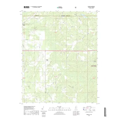
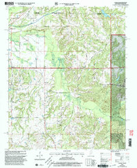 2000 Canaan2003 Print · USGSThe Tennessee-Mississippi borderlands at the start of the 2000s reveal a quiet landscape of forest preserves and family homesteads. Genealogists can trace decades of community roots through Michigan City and numerous rural landmarks like Harris Chapel or McKenzie Cem.
 - 2010 Map of Canaan, 2010 Print
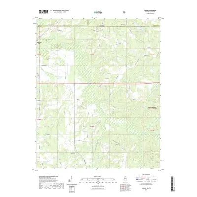
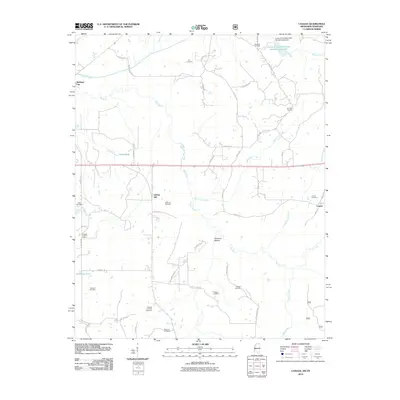 2010 Canaan2010 Print · USGSCovers Canaan, including Spring Hill, Fayette County, and other nearby areas
 - 2012 Map of Canaan, 2012 Print
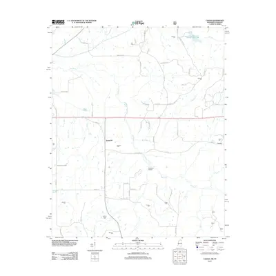 2012 Canaan2012 Print · USGSCovers Canaan, including Spring Hill, Fayette County, and other nearby areas
 - 2015 Map of Canaan, 2015 Print
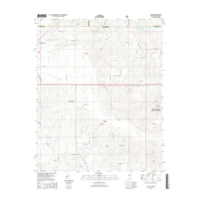 2015 Canaan2015 Print · USGSCovers Canaan, including Spring Hill, Fayette County, and other nearby areas
 - 2018 Map of Canaan, 2018 Print
 2018 Canaan2018 Print · USGSCovers Canaan, including Spring Hill, Fayette County, and other nearby areas
 - 2021 Map of Canaan, 2021 Print
 2021 Canaan2021 Print · USGSCovers Canaan, including Spring Hill, Fayette County, and other nearby areas
 - 2024 Map of Canaan, 2024 Print
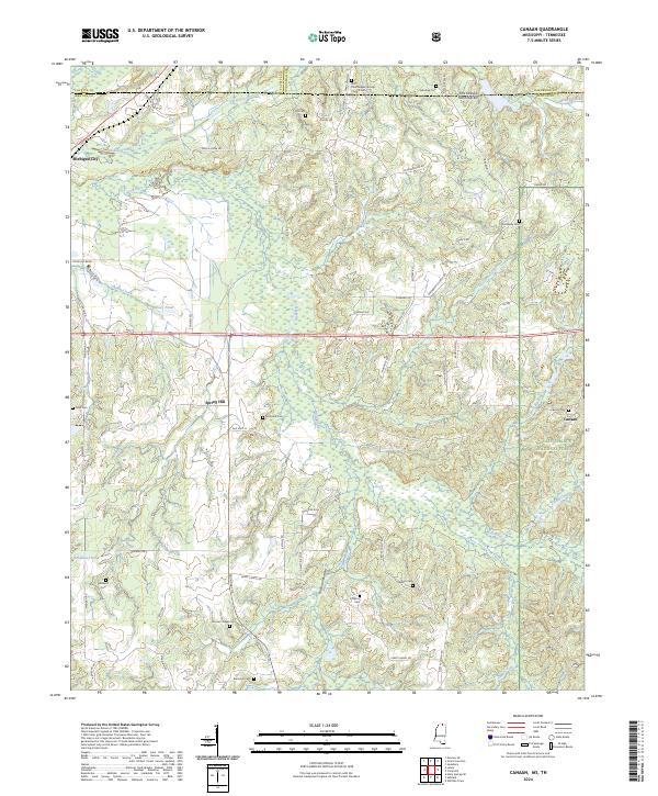 2024 Canaan2024 Print · USGSThe borderlands of Benton County and Fayette County come into focus in this recent survey of the North Mississippi countryside. Genealogists can trace family roots through a dozen named burial sites, from McKinzie Cem to the Saint Paul Skipper Springs Church Cem.
End of results
Showing maps 1-7 of 7
Top cities near Canaan
- Ripley historical maps
- Walnut historical maps
- Ashland historical maps
- Snow Lake Shores historical maps
- Falkner historical maps
- La Grange historical maps
See more
Frequently asked questions
- What are the different types of historical maps available for Canaan?
- What is the oldest map of Canaan?
- Where can I purchase historical maps of Canaan for my home or office?
- Where can I download high-res historical maps of Canaan?
- Are there historical topographic maps available for Canaan?
- Is there historical aerial imagery available for Canaan?
- Where are historical maps of Canaan sourced from?