2020s Maps of Mound Bayou, Mississippi
Explore 4 historic maps of Mound Bayou from the 2020s. These maps offer a rare glimpse into what life looked like during the 2020s — showing old roads, neighborhoods, homes, and landmarks that have changed or disappeared over time.
Whether you're researching your family's past, planning a metal detecting trip, or studying how Mound Bayou's landscape evolved across the 2020s, these high-resolution maps are a powerful tool for exploring the history of this region.
- Focus on a specific era: All maps on this page are from the 2020s, giving you a focused view of this time period.
- See what’s changed: Compare century-old streets, trails, and buildings to today's modern landscape using overlays and satellite layers.
- Research with precision: Use these maps for genealogy, historical research, land use analysis, or educational projects.
- View, download, or print: Maps are fully viewable online in high resolution, and can be downloaded or printed for your own records.
Start exploring Mound Bayou's history through authentic maps from the 2020s. This is your window into the past.
Mound Bayou, MS maps
(4)- 2020 Map of Mound Bayou, 2020 Print
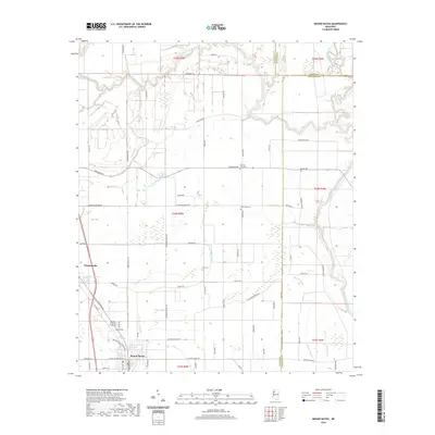 2020 Mound Bayou2020 Print · USGSCovers Mound Bayou, including Winstonville, Bolivar County, and other nearby areas
 - 2020 Map of Merigold, 2020 Print
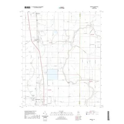 2020 Merigold2020 Print · USGSCovers Mound Bayou, including Cleveland, Merigold, and other nearby areas
 - 2024 Map of Mound Bayou, 2024 Print
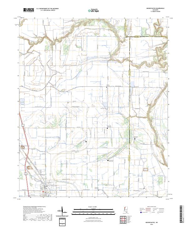 2024 Mound Bayou2024 Print · USGSThe historic town of Mound Bayou and its surrounding Delta farmland are shown here in recent detail. Genealogists can trace numerous local landmarks and burial sites including German Lane Cem, Spring Hill Church Cem, and Wanderer's Home Cem.
 - 2024 Map of Merigold, 2024 Print
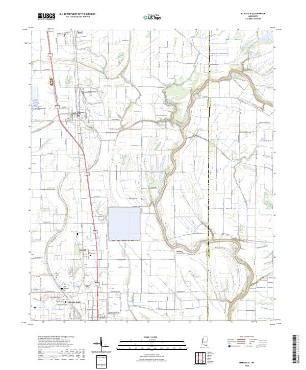 2024 Merigold2024 Print · USGSThe Mississippi Delta's agricultural heartland is documented here in recent years, showing the area between Merigold and Cleveland. Researchers can locate several burial grounds like New Cleveland Cem and trace the complex hydrology of Jones Bayou and the Big Sunflower River.
End of results
Showing maps 1-4 of 4
Top cities near Mound Bayou
- Cleveland historical maps
- Ruleville historical maps
- Shelby historical maps
- Drew historical maps
- Boyle historical maps
- Merigold historical maps
See more
Frequently asked questions
- What are the different types of historical maps available for Mound Bayou?
- What is the oldest map of Mound Bayou?
- Where can I purchase historical maps of Mound Bayou for my home or office?
- Where can I download high-res historical maps of Mound Bayou?
- Are there historical topographic maps available for Mound Bayou?
- Is there historical aerial imagery available for Mound Bayou?
- Where are historical maps of Mound Bayou sourced from?