Loading...
Loading map...2024 Map of Merigold
USGS Topo · Published 2024About this map
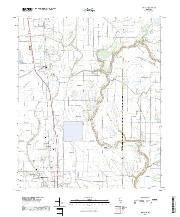
The Big Sunflower River winds through the eastern portion of this landscape, marking the boundary between Bolivar and Sunflower counties. This modern topographic view reveals the heavily channeled irrigation and drainage network essential to the Delta's agricultural character, with numerous bayous such as Mound Bayou and Jones Bayou defining the terrain. Central to the map is the town of Merigold, situated along the corridor of US Highway 61, a historic north-south artery.
Find a feature on this map
89 named features on this map. Tap any name to fly to it.
Don’t see what you’re looking for? This feature index may not catch every label — zoom into the map to look around manually.
Map Details
Date Portrayed2024
Date Published2024
PublisherU.S. Geological Survey
Map TypeTopographic
Scale1:24000
Physical Dimensions24 x 29 inches
Editions of this 2024 Merigold Map
This is the sole edition of this map. No revisions or reprints were ever made.
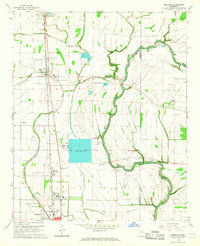
Historical Maps of Mound Bayou Through Time
Featured Locations
Source Details
SourceU.S. Geological Survey
CopyrightPublic Domain