2020s Maps of Calhoun County, Mississippi
Explore 40 historic maps of Calhoun County from the 2020s. These maps offer a rare glimpse into what life looked like during the 2020s — showing old roads, neighborhoods, homes, and landmarks that have changed or disappeared over time.
Whether you're researching your family's past, planning a metal detecting trip, or studying how Calhoun County's landscape evolved across the 2020s, these high-resolution maps are a powerful tool for exploring the history of this region.
- Focus on a specific era: All maps on this page are from the 2020s, giving you a focused view of this time period.
- See what’s changed: Compare century-old streets, trails, and buildings to today's modern landscape using overlays and satellite layers.
- Research with precision: Use these maps for genealogy, historical research, land use analysis, or educational projects.
- View, download, or print: Maps are fully viewable online in high resolution, and can be downloaded or printed for your own records.
Start exploring Calhoun County's history through authentic maps from the 2020s. This is your window into the past.
Calhoun County, MS maps
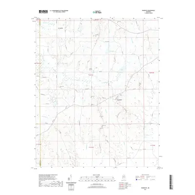
(40)- 2020 Map of Atlanta, 2020 Print
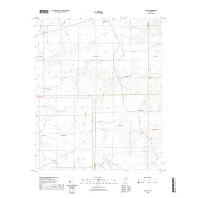 2020 Atlanta2020 Print · USGSCovers Calhoun County, including Vardaman, Bently, and other nearby areas
 - 2020 Map of Big Creek, 2020 Print
 2020 Big Creek2020 Print · USGSCovers Calhoun County, including Big Creek, Retreat, and other nearby areas
 - 2020 Map of Bruce, 2020 Print
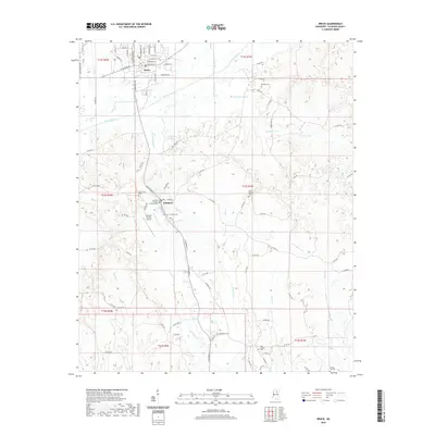 2020 Bruce2020 Print · USGSCovers Calhoun County, including Bruce, Pittsboro, and other nearby areas
 - 2020 Map of Skuna, 2020 Print
 2020 Skuna2020 Print · USGSCovers Calhoun County, including Skuna, Shepherd, and other nearby areas
 - 2020 Map of Gore Springs, 2020 Print
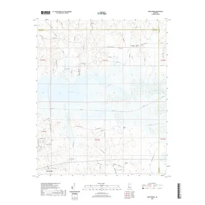 2020 Gore Springs2020 Print · USGSCovers Calhoun County, including Susie, Youngs, and other nearby areas
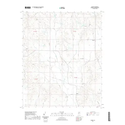
 - 2020 Map of Sweatman, 2020 Print
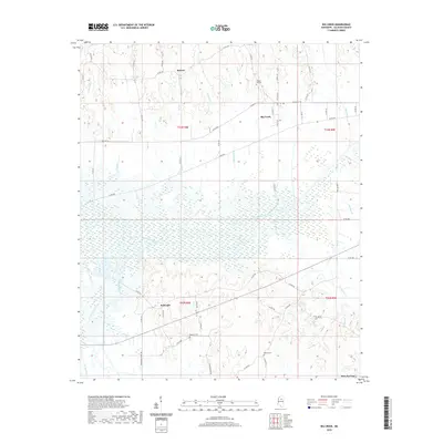
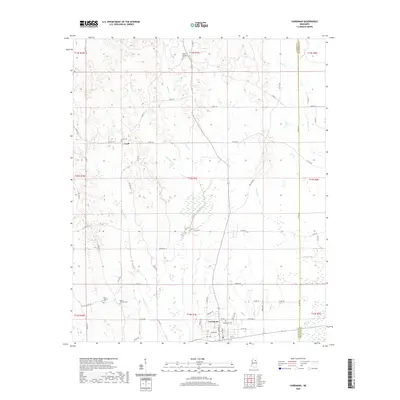
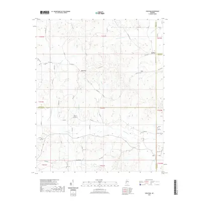 2020 Sweatman2020 Print · USGSCovers Calhoun County, including Alva, Redding, and other nearby areas
 - 2020 Map of Calhoun City, 2020 Print
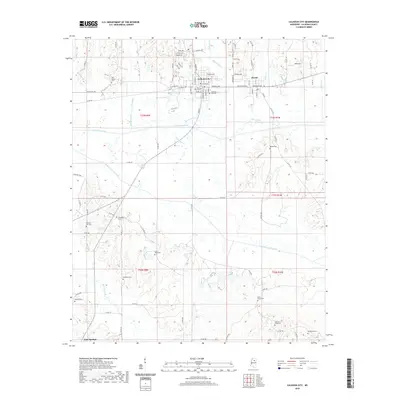 2020 Calhoun City2020 Print · USGSCovers Calhoun County, including Calhoun City, Derma, and other nearby areas
 - 2020 Map of Benwood, 2020 Print
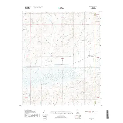 2020 Benwood2020 Print · USGSCovers Calhoun County, including Spearman, Benwood, and other nearby areas
 - 2020 Map of Bellefontaine, 2020 Print
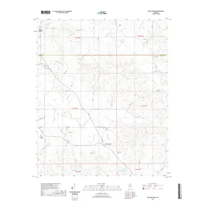 2020 Bellefontaine2020 Print · USGSCovers Calhoun County, including Bellefontaine, Embry, and other nearby areas
 - 2020 Map of Vardaman, 2020 Print
 2020 Vardaman2020 Print · USGSCovers Calhoun County, including Vardaman, Loyd, and other nearby areas
 - 2020 Map of Hohenlinden, 2020 Print
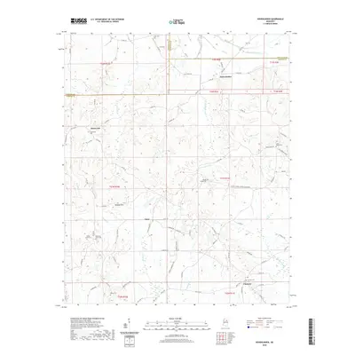 2020 Hohenlinden2020 Print · USGSCovers Calhoun County, including Clarkson, Hohenlinden, and other nearby areas
 - 2020 Map of Cadaretta, 2020 Print
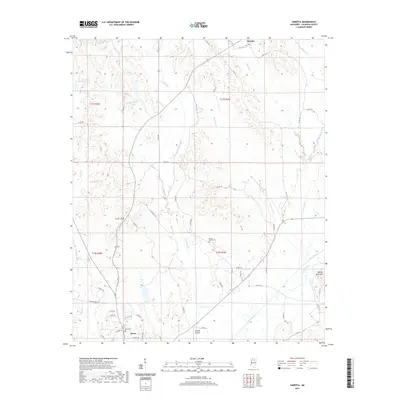
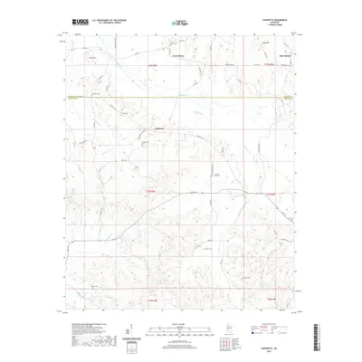 2020 Cadaretta2020 Print · USGSCovers Calhoun County, including Cadaretta, Spring Hill, and other nearby areas
 - 2021 Map of Pine Valley, 2021 Print
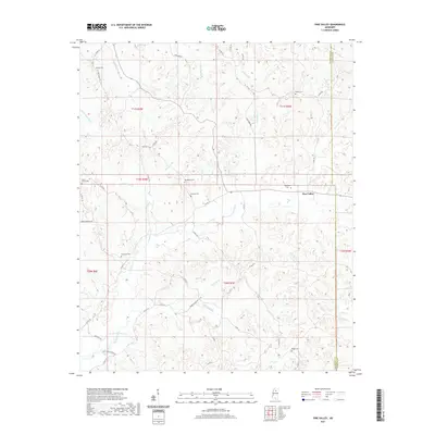 2021 Pine Valley2021 Print · USGSCovers Calhoun County, including Pine Valley, Yalobusha County, and other nearby areas
 - 2021 Map of Robbs, 2021 Print
 2021 Robbs2021 Print · USGSCovers Calhoun County, including Buckhorn, Robbs, and other nearby areas
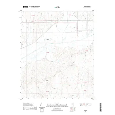
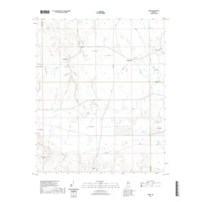
 - 2021 Map of Banner, 2021 Print
 2021 Banner2021 Print · USGSCovers Calhoun County, including Ellard, Banner, and other nearby areas
 - 2021 Map of Tula, 2021 Print
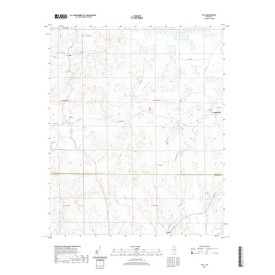 2021 Tula2021 Print · USGSCovers Calhoun County, including Spring Hill, Tula, and other nearby areas
 - 2021 Map of Randolph, 2021 Print
 2021 Randolph2021 Print · USGSCovers Calhoun County, including Toccopola, Hebron, and other nearby areas
 - 2021 Map of Paris, 2021 Print
 2021 Paris2021 Print · USGSCovers Calhoun County, including Paris, Delay, and other nearby areas
 - 2021 Map of Water Valley East, 2021 Print
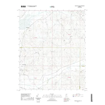 2021 Water Valley East2021 Print · USGSCovers Calhoun County, including Water Valley, Springdale, and other nearby areas
 - 2021 Map of Sarepta, 2021 Print
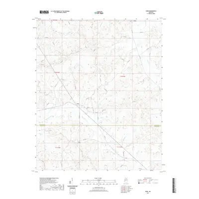
 2021 Sarepta2021 Print · USGSCovers Calhoun County, including Bruce, Sarepta, and other nearby areas
 - 2024 Map of Atlanta, 2024 Print
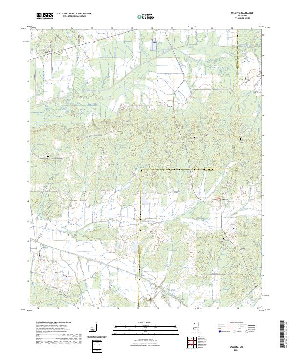 2024 Atlanta2024 Print · USGSCalhoun and Chickasaw counties meet in this rural landscape as it appeared in recent years. Researchers can locate several burial grounds and small settlements, including Atlanta, Old Pleasant Grove Cem, and Midway Cem.
 - 2024 Map of Cadaretta, 2024 Print
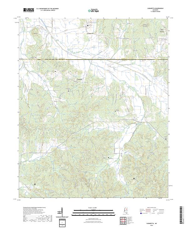 2024 Cadaretta2024 Print · USGSThe borderlands of Webster and Calhoun Counties come to life in this modern survey of North Central Mississippi. Researchers can locate family landmarks like Philadelphia Cem and Ingrams Cem or trace the winding waters of Sabougla Creek.
 - 2024 Map of Calhoun City, 2024 Print
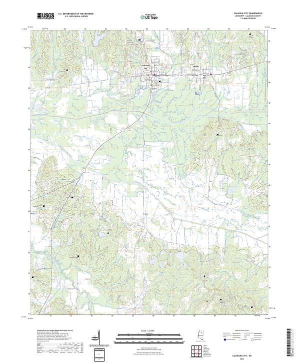 2024 Calhoun City2024 Print · USGSCalhoun City and Derma appear at a geographic crossroads where the Yalobusha and Skuna rivers meet the bottomlands. Local researchers can trace numerous family burial sites such as Benela Cem and McPhail Cem alongside the engineered path of the Topashaw Creek Canal.
 - 2024 Map of Sweatman, 2024 Print
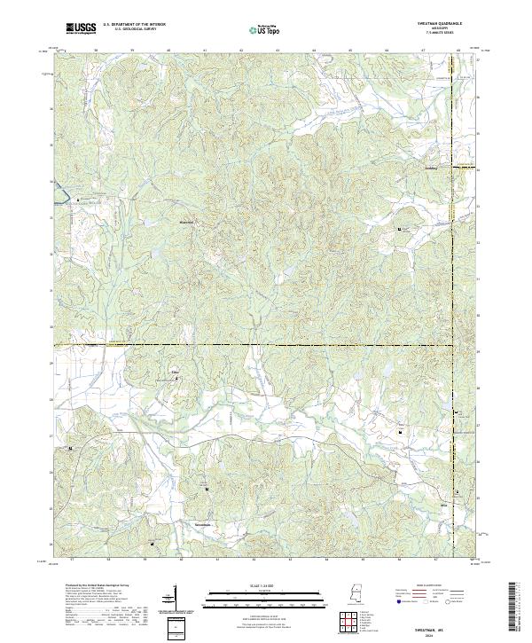 2024 Sweatman2024 Print · USGSThe hill country of north-central Mississippi is documented here at the convergence of four counties. Researchers can locate numerous family burial grounds and upland settlements like Sweatman, Alva, and the Red Hill Church Cem tucked among the drainages of Little Bogue.
 - 2024 Map of Vardaman, 2024 Print
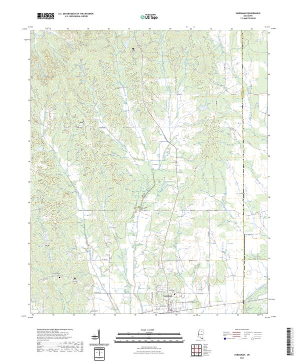 2024 Vardaman2024 Print · USGSVardaman and the surrounding rural communities of Calhoun County are captured in this recent survey. Genealogists and local historians can trace family locations near Loyd, Poplar Springs Cem, and the headwaters of Hurricane Creek.
Showing maps 1-25 of 40
Top cities of Calhoun County
- Bruce historical maps
- Calhoun City historical maps
- Derma historical maps
- Vardaman historical maps
- Pittsboro historical maps
- Big Creek historical maps
Frequently asked questions
- What are the different types of historical maps available for Calhoun County?
- What is the oldest map of Calhoun County?
- Where can I purchase historical maps of Calhoun County for my home or office?
- Where can I download high-res historical maps of Calhoun County?
- Are there historical topographic maps available for Calhoun County?
- Is there historical aerial imagery available for Calhoun County?
- Where are historical maps of Calhoun County sourced from?