2010s Maps of Calhoun County, Mississippi
Explore 60 historic maps of Calhoun County from the 2010s. These maps offer a rare glimpse into what life looked like during the 2010s — showing old roads, neighborhoods, homes, and landmarks that have changed or disappeared over time.
Whether you're researching your family's past, planning a metal detecting trip, or studying how Calhoun County's landscape evolved across the 2010s, these high-resolution maps are a powerful tool for exploring the history of this region.
- Focus on a specific era: All maps on this page are from the 2010s, giving you a focused view of this time period.
- See what’s changed: Compare century-old streets, trails, and buildings to today's modern landscape using overlays and satellite layers.
- Research with precision: Use these maps for genealogy, historical research, land use analysis, or educational projects.
- View, download, or print: Maps are fully viewable online in high resolution, and can be downloaded or printed for your own records.
Start exploring Calhoun County's history through authentic maps from the 2010s. This is your window into the past.
Calhoun County, MS maps
(60)- 2012 Map of Robbs, 2012 Print
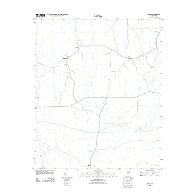 2012 Robbs2012 Print · USGSPontotoc County remains a landscape of quiet crossroads and family homesteads as seen in this early twenty-first-century survey. Genealogists can trace family heritage through local landmarks like Blount Cem, Indian Creek Cem, and the settlement of Robbs.
 - 2012 Map of Water Valley East, 2012 Print
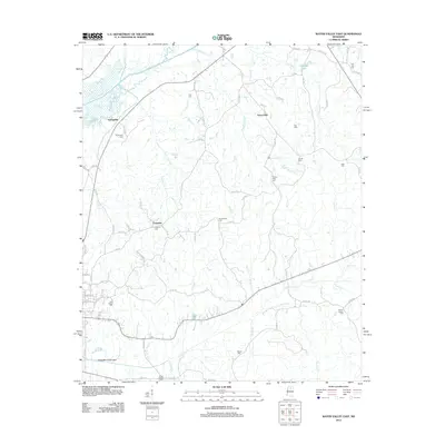 2012 Water Valley East2012 Print · USGSYalobusha County settlements and rural cemeteries are mapped in detail during the early 2010s. Genealogists can trace family connections through sites like Palestine Cemetery, Oak Ridge Cemetery, and the community at Union Hall.
 - 2012 Map of Banner, 2012 Print
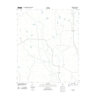 2012 Banner2012 Print · USGSCalhoun County's rural landscape at the start of the 2010s reveals a quiet network of family settlements and creekside farms. Genealogists can trace local roots through numerous burial sites like Reasons Cem or locate the distinctive Banner Lookout Tower near Banner.
 - 2012 Map of Tula, 2012 Print
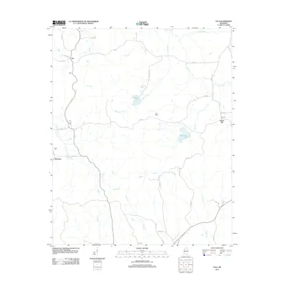 2012 Tula2012 Print · USGSLafayette County and the rural landscape near the Yocona River are shown here in the early twenty-first century. Genealogists can trace family heritage at Old Dallas Cem or New El Bethel Cem and locate historic community centers like Tula and Potlockney.
 - 2012 Map of Pine Valley, 2012 Print
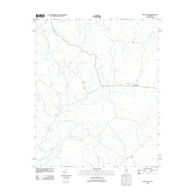 2012 Pine Valley2012 Print · USGSPine Valley and the surrounding Yalobusha County countryside appear here in the early twenty-first century, anchored by a network of rural routes and family landmarks. Genealogists can trace deep local roots through several burial sites, including Bethel Cem, Wilson Cem, and Hopewell Cem.
 - 2012 Map of Randolph, 2012 Print
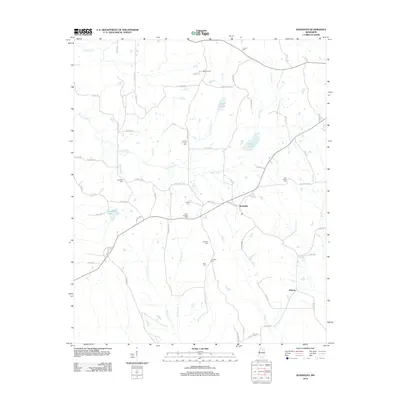 2012 Randolph2012 Print · USGSThe rural communities of Pontotoc County come into focus in the early 2010s, centered on the settlement of Randolph. Genealogists and local historians can trace family burial sites at Salmon Cem, Carey Springs Cem, and Harrison-Tutor Cem along the Yocona River.
 - 2012 Map of Sarepta, 2012 Print
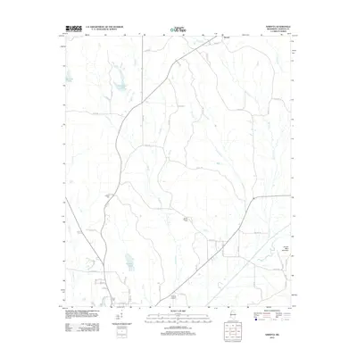 2012 Sarepta2012 Print · USGSCalhoun County's rural northern reaches are shown here in the early twenty-first century, centered on the historic Sarepta settlement. Genealogists and local historians can locate several family and community landmarks, including Mount Moriah Cem, Antioch Cem, and the high ground of Johnny Main Mountain.
 - 2012 Map of Paris, 2012 Print
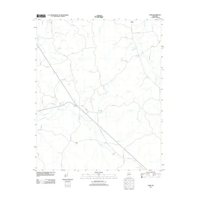 2012 Paris2012 Print · USGSLafayette County rural life in the early 2010s is centered around the small crossroads of Paris and its surrounding creek valleys. Genealogists and local historians can trace family locations near Paris Cem, Crocker Cem, and the community of Delay.
 - 2012 Map of Gore Springs, 2012 Print
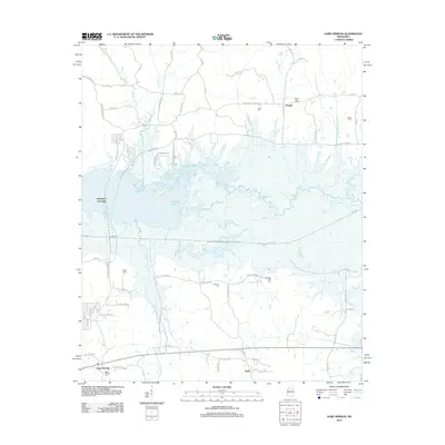 2012 Gore Springs2012 Print · USGSGrenada County, Mississippi, is shown here as it appeared in the early 21st century, centered on the expansive waters of Grenada Lake. Local historians can trace family roots through several documented burial grounds like Mount Nebo Cem, Shiloh Cem, and Gore Springs Cem.
 - 2012 Map of Bellefontaine, 2012 Print
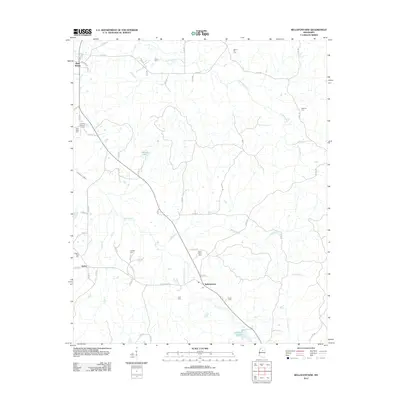 2012 Bellefontaine2012 Print · USGSThe rural communities of Webster County are preserved in this 2012 survey, showing the enduring structure of small Mississippi settlements. Family historians can locate dozens of burial grounds, including Lovette Cem, Spring Hill Cem, and New Hope Cem near the banks of Sabougla Cr.
 - 2012 Map of Skuna, 2012 Print
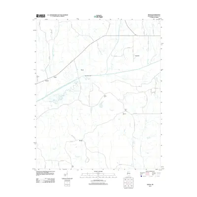 2012 Skuna2012 Print · USGSCalhoun County's river-bottom landscape is captured here in the early twenty-first century, showcasing the intersection of natural waterways and managed drainage. Researchers can locate family landmarks like Pine Ridge Cem and the rural communities of Shepherd and Bounds.
 - 2012 Map of Vardaman, 2012 Print
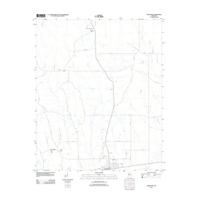 2012 Vardaman2012 Print · USGSCalhoun County's agricultural landscape is seen here in the early twenty-first century, centered on the community of Vardaman. Genealogists and local historians can locate family landmarks like Poplar Springs Cem, Mount Herman Cem, and the Reid Lookout Tower.
 - 2012 Map of Atlanta, 2012 Print
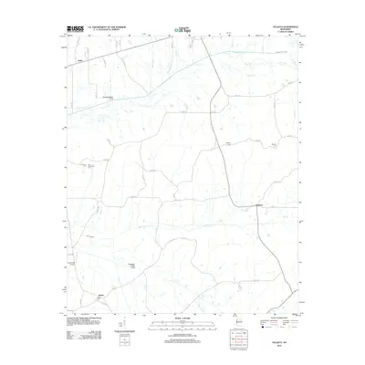 2012 Atlanta2012 Print · USGSThe rural landscape of Calhoun County is defined here by twentieth-century drainage engineering and scattered local settlements. Genealogists and historians can trace the locations of Providence Cem, Bently, and the Topashaw Creek Canal at Atlanta.
 - 2012 Map of Hohenlinden, 2012 Print
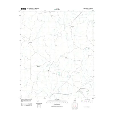 2012 Hohenlinden2012 Print · USGSNortheast Mississippi’s rural landscape is detailed here just after the turn of the millennium, showing the networks connecting Hohenlinden and Clarkson. Genealogists can trace local roots at Montevista Cem, Double Springs Cem, and the Webster Lookout Tower.
 - 2012 Map of Bruce, 2012 Print
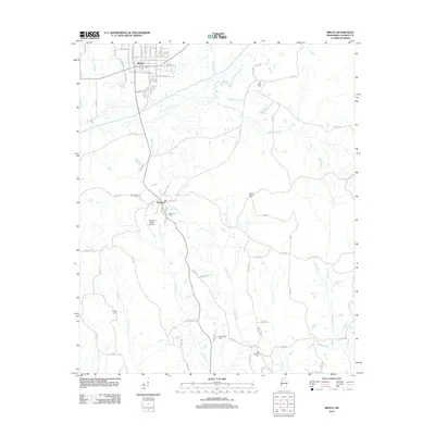 2012 Bruce2012 Print · USGSCalhoun County's central corridor is documented here during the early twenty-first century, centered on the growing community of Bruce and the historic seat at Pittsboro. Researchers can locate numerous local burial grounds like Old Town Cem and Macedonia Cem, or trace the winding course of the Skuna River.
 - 2012 Map of Calhoun City, 2012 Print
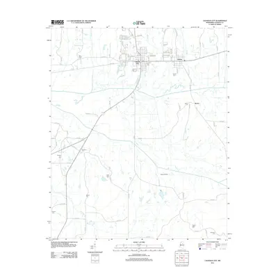 2012 Calhoun City2012 Print · USGSCalhoun City and the Yalobusha River valley are captured in detail during the early 2010s. Genealogists can trace a wealth of family burial sites including Friendship Cem, McPhail Cem, and New Gauley Cem throughout the rural landscape.
 - 2012 Map of Cadaretta, 2012 Print
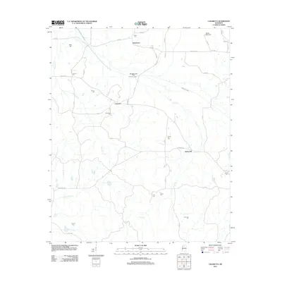 2012 Cadaretta2012 Print · USGSCadaretta and eastern Webster County appear here in the early twenty-first century, showing a landscape of small rural settlements and managed waterways. Family historians can trace numerous burial sites including Philadelphia Cemetery and Bradsford Cemetery near Horse Pen Creek.
 - 2012 Map of Sweatman, 2012 Print
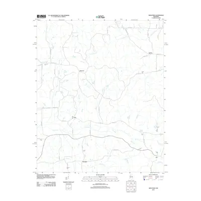 2012 Sweatman2012 Print · USGSMontgomery County's rural interior comes into focus during this modern survey of its small settlements and family landmarks. Genealogists can trace family names through burial sites like Providence Cem and Jordans Cem or locate the old crossroads at Sweatman and Alva.
 - 2012 Map of Big Creek, 2012 Print
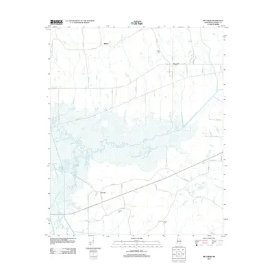 2012 Big Creek2012 Print · USGSCalhoun County's river bottoms and rural crossroads are captured here during the early twenty-first century. Genealogists can trace family landmarks and burial sites such as Magness Cem and Chapel Hill Cem near the town of Big Creek.
 - 2012 Map of Benwood, 2012 Print
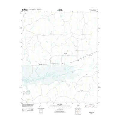 2012 Benwood2012 Print · USGSYalobusha County settlements and river bottomlands are captured here in the early twenty-first century. Genealogists can trace family roots through numerous burial sites including Haven Hill Cem, Arimount Cem, and Clear Springs Cem.
 - 2015 Map of Bellefontaine, 2015 Print
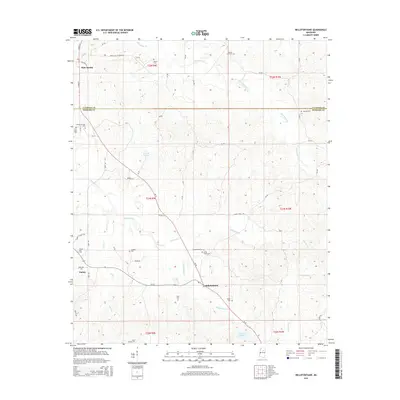 2015 Bellefontaine2015 Print · USGSBellefontaine and the rural borders of Webster and Calhoun Counties are documented here in the mid-2010s. Genealogists can trace family footprints through numerous local sites like Pilgrim Rest Cem, Lovette Cem, and the settlement of Slate Spring.
 - 2015 Map of Benwood, 2015 Print
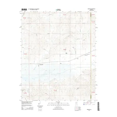 2015 Benwood2015 Print · USGSThe rural landscape of Spearman and Benwood during the mid-2010s is defined by the wide Skuna River valley and its surrounding hill country. Genealogists can locate several family-named landmarks and burial sites including Jones Cem, Dividing Ridge Cem, and Elm Grove Cem.
 - 2015 Map of Robbs, 2015 Print
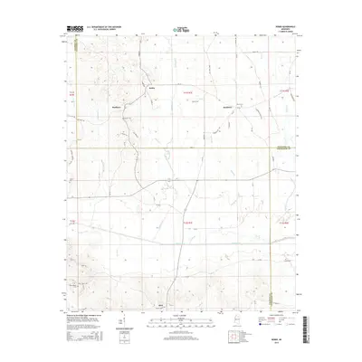 2015 Robbs2015 Print · USGSNorth-central Mississippi at the junction of three counties reveals a landscape shaped by the Skuna River and its many tributaries. Genealogists and local researchers can trace the rural communities of Robbs and Buckhorn alongside historic sites like Collums Cem and Blount Cem.
 - 2015 Map of Paris, 2015 Print
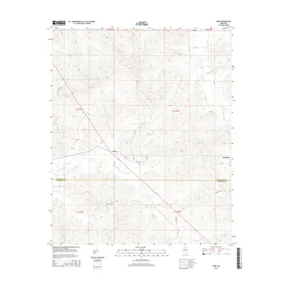 2015 Paris2015 Print · USGSLafayette and Calhoun counties appear here in the mid-2010s, showing a traditional Mississippi landscape of stream-fed valleys and rural crossroads. Researchers can locate family landmarks like Crocker Cem and Drivers Flat Cem near the settlements of Paris and Delay.
 - 2015 Map of Randolph, 2015 Print
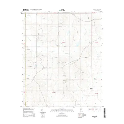 2015 Randolph2015 Print · USGSThe rural communities of Toccopola and Randolph are shown here as they appeared in the early 2010s, defined by the winding Yocona River. Genealogists can locate several local burial sites including Salmon Cem, Johnson Cem, and Bramlett Cem.
Showing maps 1-25 of 60
Top cities of Calhoun County
- Bruce historical maps
- Calhoun City historical maps
- Derma historical maps
- Vardaman historical maps
- Pittsboro historical maps
- Big Creek historical maps
Frequently asked questions
- What are the different types of historical maps available for Calhoun County?
- What is the oldest map of Calhoun County?
- Where can I purchase historical maps of Calhoun County for my home or office?
- Where can I download high-res historical maps of Calhoun County?
- Are there historical topographic maps available for Calhoun County?
- Is there historical aerial imagery available for Calhoun County?
- Where are historical maps of Calhoun County sourced from?