2000s (21st Century) Maps of Clay County, Mississippi
Explore 80 historic maps of Clay County from the 2000s (21st Century). These maps offer a rare glimpse into what life looked like during the 2000s — showing old roads, neighborhoods, homes, and landmarks that have changed or disappeared over time.
Whether you're researching your family's past, planning a metal detecting trip, or studying how Clay County's landscape evolved across the 2000s, these high-resolution maps are a powerful tool for exploring the history of this region.
- Focus on a specific era: All maps on this page are from the 2000s, giving you a focused view of this time period.
- See what’s changed: Compare century-old streets, trails, and buildings to today's modern landscape using overlays and satellite layers.
- Research with precision: Use these maps for genealogy, historical research, land use analysis, or educational projects.
- View, download, or print: Maps are fully viewable online in high resolution, and can be downloaded or printed for your own records.
Start exploring Clay County's history through authentic maps from the 2000s. This is your window into the past.
Clay County, MS maps
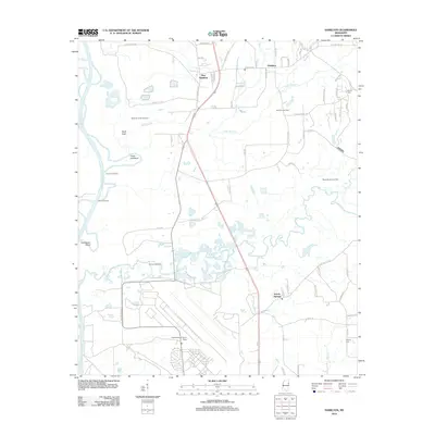
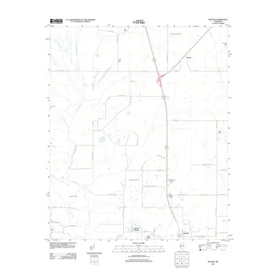
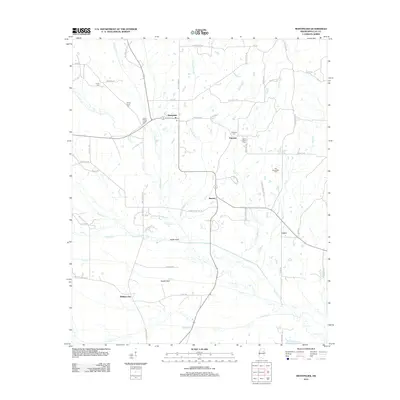
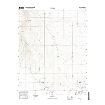
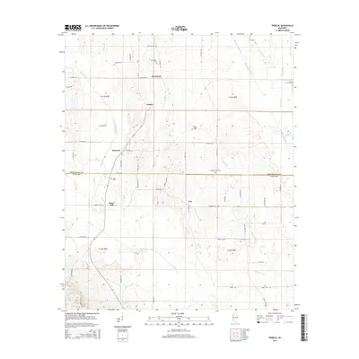
(80)- 2012 Map of Trebloc, 2012 Print
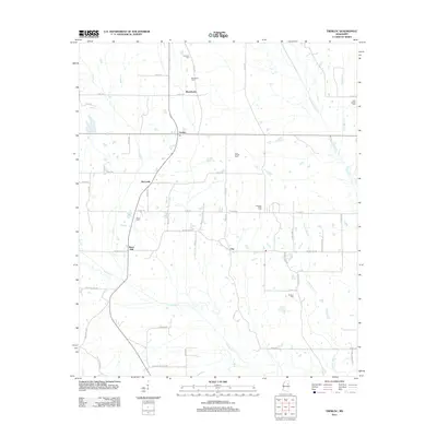 2012 Trebloc2012 Print · USGSCovers Clay County, including McCondy, Barrs Mill, and other nearby areas
 - 2012 Map of Palo Alto, 2012 Print
 2012 Palo Alto2012 Print · USGSCovers Clay County, including Hopewell, Abbott, and other nearby areas
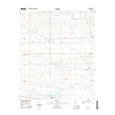
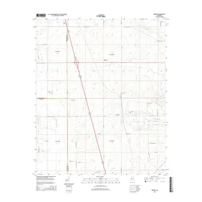
 - 2012 Map of Pheba, 2012 Print
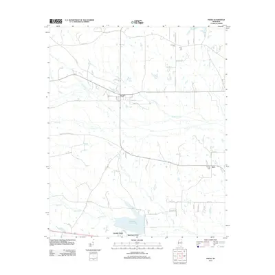 2012 Pheba2012 Print · USGSCovers Clay County, including Bells, Waterfront Estates, and other nearby areas
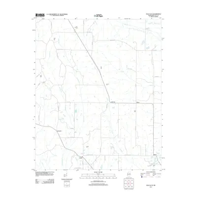
 - 2012 Map of Cedar Bluff, 2012 Print
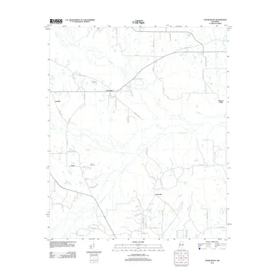 2012 Cedar Bluff2012 Print · USGSCovers Clay County, including Starkville, Rocky Hill, and other nearby areas
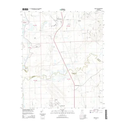
 - 2012 Map of Hamilton, 2012 Print
 2012 Hamilton2012 Print · USGSCovers Clay County, including New Hamilton, Kolola Springs, and other nearby areas
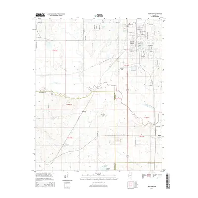
 - 2012 Map of West Point, 2012 Print
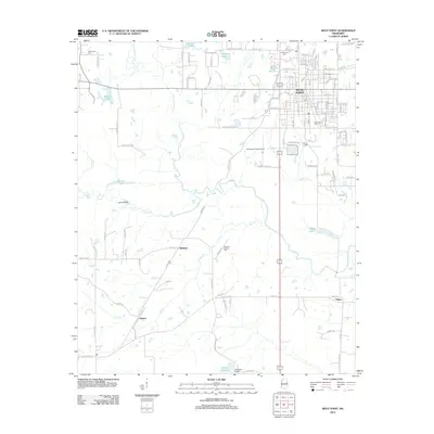 2012 West Point2012 Print · USGSCovers Clay County, including West Point, Osborn, and other nearby areas
 - 2012 Map of Sparta, 2012 Print
 2012 Sparta2012 Print · USGSCovers Clay County, including Sparta, Sonora, and other nearby areas
 - 2012 Map of Prairie, 2012 Print
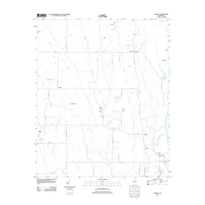
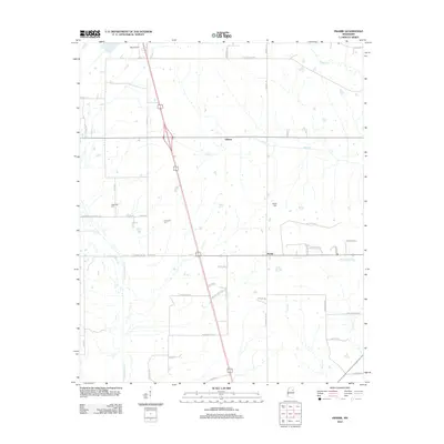 2012 Prairie2012 Print · USGSCovers Clay County, including Prairie, Gibson, and other nearby areas
 - 2012 Map of Muldon, 2012 Print
 2012 Muldon2012 Print · USGSCovers Clay County, including West Point, Muldon, and other nearby areas
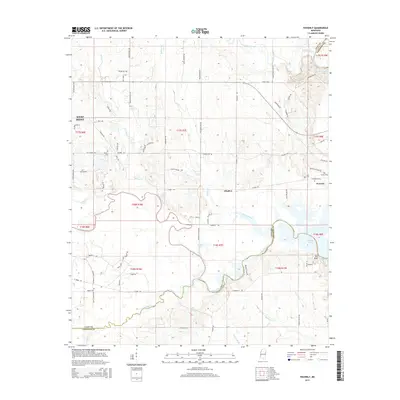
 - 2012 Map of Waverly, 2012 Print
 2012 Waverly2012 Print · USGSCovers Clay County, including West Point, Waverly, and other nearby areas
 - 2012 Map of Strong, 2012 Print
 2012 Strong2012 Print · USGSCovers Clay County, including West Point, Vinton, and other nearby areas
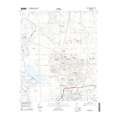
 - 2012 Map of Columbus North, 2012 Print
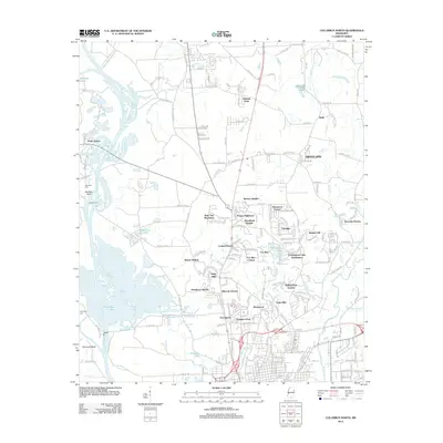 2012 Columbus North2012 Print · USGSCovers Clay County, including Columbus, Wells, and other nearby areas
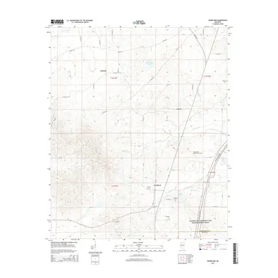
 - 2012 Map of Montpelier, 2012 Print
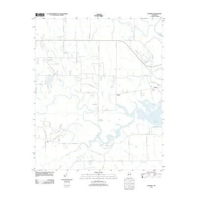
 2012 Montpelier2012 Print · USGSCovers Clay County, including Cairo, Walkers Gin, and other nearby areas
 - 2012 Map of Mantee, 2012 Print
 2012 Mantee2012 Print · USGSCovers Clay County, including Mantee, Dancy, and other nearby areas
 - 2012 Map of Woodland, 2012 Print
 2012 Woodland2012 Print · USGSCovers Clay County, including Woodland, Anchor, and other nearby areas
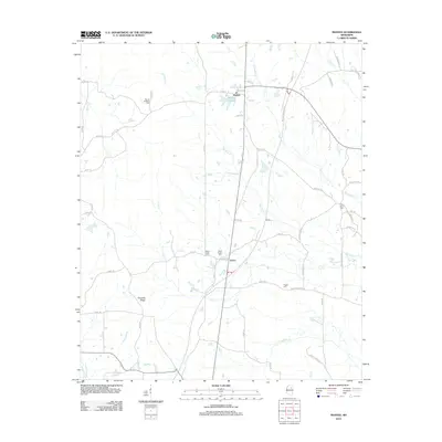
 - 2012 Map of Maben, 2012 Print
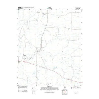 2012 Maben2012 Print · USGSCovers Clay County, including Center Grove, Spring Valley, and other nearby areas
 - 2015 Map of Pheba, 2015 Print
 2015 Pheba2015 Print · USGSCovers Clay County, including Bells, Waterfront Estates, and other nearby areas
 - 2015 Map of Waverly, 2015 Print
 2015 Waverly2015 Print · USGSCovers Clay County, including West Point, Waverly, and other nearby areas
 - 2015 Map of West Point, 2015 Print
 2015 West Point2015 Print · USGSCovers Clay County, including West Point, Osborn, and other nearby areas
 - 2015 Map of Columbus North, 2015 Print
 2015 Columbus North2015 Print · USGSCovers Clay County, including Columbus, Wells, and other nearby areas
 - 2015 Map of Palo Alto, 2015 Print
 2015 Palo Alto2015 Print · USGSCovers Clay County, including Hopewell, Abbott, and other nearby areas
 - 2015 Map of Prairie, 2015 Print
 2015 Prairie2015 Print · USGSCovers Clay County, including Prairie, Gibson, and other nearby areas
 - 2015 Map of Woodland, 2015 Print
 2015 Woodland2015 Print · USGSCovers Clay County, including Woodland, Anchor, and other nearby areas
 - 2015 Map of Trebloc, 2015 Print
 2015 Trebloc2015 Print · USGSCovers Clay County, including McCondy, Barrs Mill, and other nearby areas
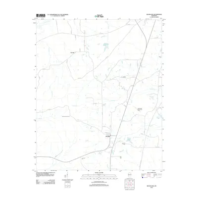
 - 2015 Map of Hamilton, 2015 Print
 2015 Hamilton2015 Print · USGSCovers Clay County, including New Hamilton, Kolola Springs, and other nearby areas
Showing maps 1-25 of 80
Top cities of Clay County
Frequently asked questions
- What are the different types of historical maps available for Clay County?
- What is the oldest map of Clay County?
- Where can I purchase historical maps of Clay County for my home or office?
- Where can I download high-res historical maps of Clay County?
- Are there historical topographic maps available for Clay County?
- Is there historical aerial imagery available for Clay County?
- Where are historical maps of Clay County sourced from?