2020s Maps of George County, Mississippi
Explore 30 historic maps of George County from the 2020s. These maps offer a rare glimpse into what life looked like during the 2020s — showing old roads, neighborhoods, homes, and landmarks that have changed or disappeared over time.
Whether you're researching your family's past, planning a metal detecting trip, or studying how George County's landscape evolved across the 2020s, these high-resolution maps are a powerful tool for exploring the history of this region.
- Focus on a specific era: All maps on this page are from the 2020s, giving you a focused view of this time period.
- See what’s changed: Compare century-old streets, trails, and buildings to today's modern landscape using overlays and satellite layers.
- Research with precision: Use these maps for genealogy, historical research, land use analysis, or educational projects.
- View, download, or print: Maps are fully viewable online in high resolution, and can be downloaded or printed for your own records.
Start exploring George County's history through authentic maps from the 2020s. This is your window into the past.
George County, MS maps
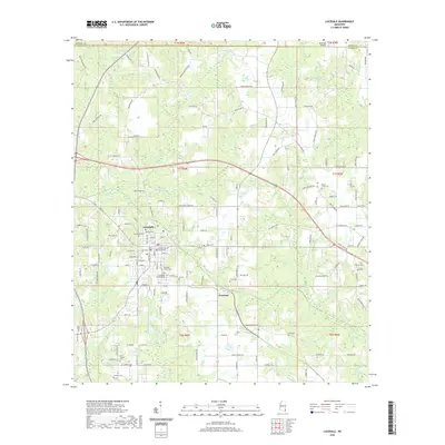
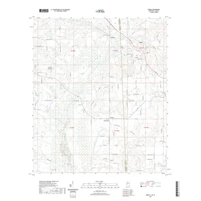
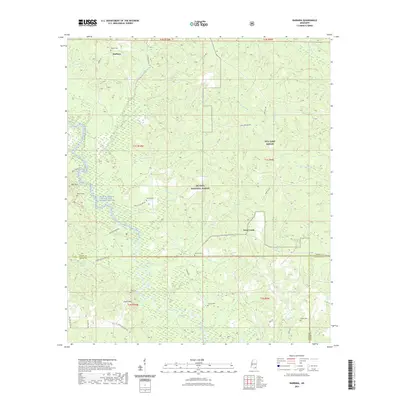
(30)- 2020 Map of Earlville, 2020 Print
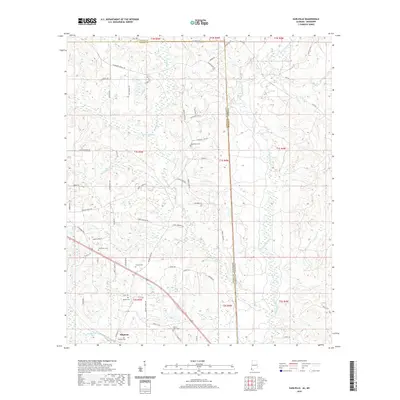 2020 Earlville2020 Print · USGSCovers George County, including Earlville, Shipman, and other nearby areas
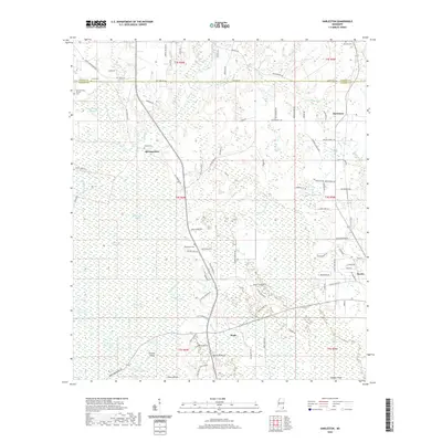
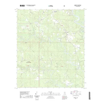
 - 2020 Map of Merrill, 2020 Print
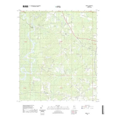 2020 Merrill2020 Print · USGSCovers George County, including Central, Crossroads, and other nearby areas
 - 2020 Map of Hurley, 2020 Print
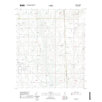 2020 Hurley2020 Print · USGSCovers George County, including Hurley, Mobile County, and other nearby areas
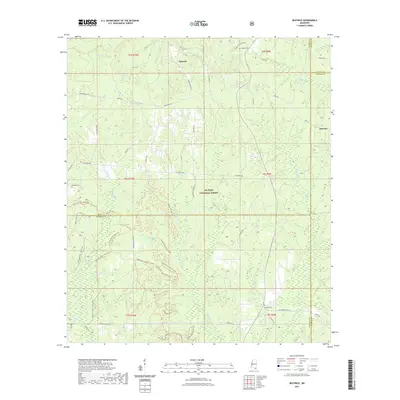
 - 2020 Map of Basin, 2020 Print
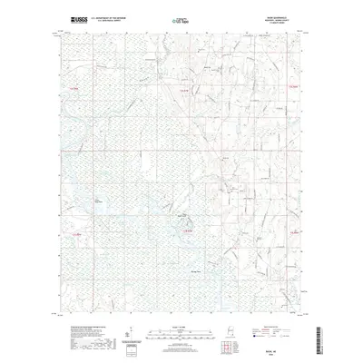 2020 Basin2020 Print · USGSCovers George County, including Gibson Landing, United States, and other nearby areas
 - 2020 Map of Easen Hill, 2020 Print
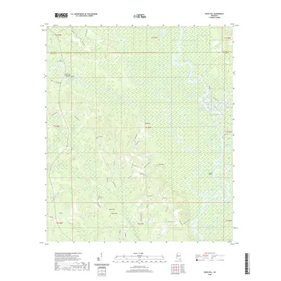 2020 Easen Hill2020 Print · USGSCovers George County, including Holly Landing, Jackson County, and other nearby areas
 - 2020 Map of Lucedale, 2020 Print
 2020 Lucedale2020 Print · USGSCovers George County, including Lucedale, Rock Creek, and other nearby areas
 - 2020 Map of Harleston, 2020 Print
 2020 Harleston2020 Print · USGSCovers George County, including Popetown, Wade, and other nearby areas
 - 2020 Map of Agricola, 2020 Print
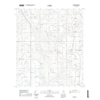 2020 Agricola2020 Print · USGSCovers George County, including Movella, Agricola, and other nearby areas
 - 2020 Map of Howell, 2020 Print
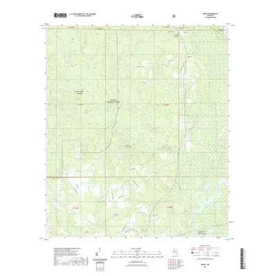
 2020 Howell2020 Print · USGSCovers George County, including Latonia, Dean Landing, and other nearby areas
 - 2021 Map of Avent, 2021 Print
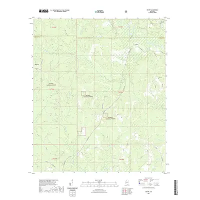
 2021 Avent2021 Print · USGSCovers George County, including Avent, Perry County, and other nearby areas
 - 2021 Map of Benndale, 2021 Print
 2021 Benndale2021 Print · USGSCovers George County, including Benndale, Pascagoula River Estates, and other nearby areas
 - 2021 Map of Vestry, 2021 Print
 2021 Vestry2021 Print · USGSCovers George County, including Vestry, Jackson County, and other nearby areas
 - 2021 Map of Barbara, 2021 Print
 2021 Barbara2021 Print · USGSCovers George County, including Batt Place, Deep Creek, and other nearby areas
 - 2021 Map of Beatrice, 2021 Print
 2021 Beatrice2021 Print · USGSCovers George County, including Dantzler, Beatrice, and other nearby areas
 - 2021 Map of Ramsey Springs, 2021 Print
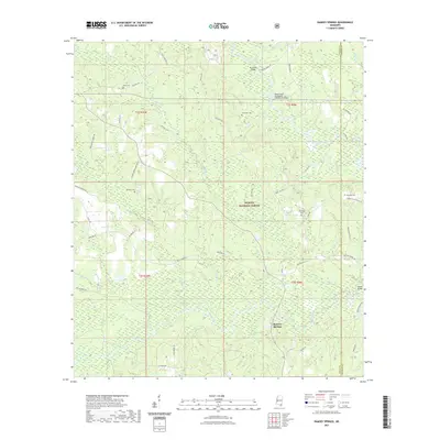 2021 Ramsey Springs2021 Print · USGSCovers George County, including Ramsey Springs, Stone County, and other nearby areas
 - 2024 Map of Basin, 2024 Print
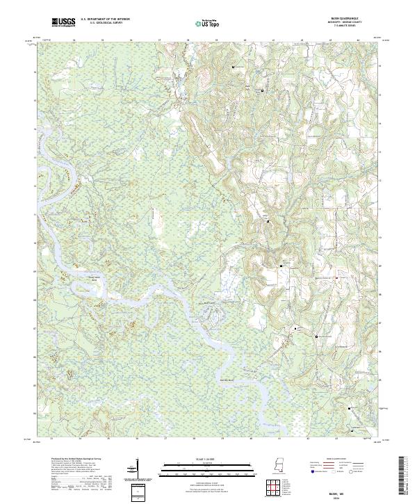 2024 Basin2024 Print · USGSGeorge County's river-bottom lands and upland homesteads are detailed in this recent survey of the Basin area. Family historians can locate numerous local landmarks including the Gibson Cem, the Hilltop Cem, and old travel routes like Pete Havard Rd.
 - 2024 Map of Avent, 2024 Print
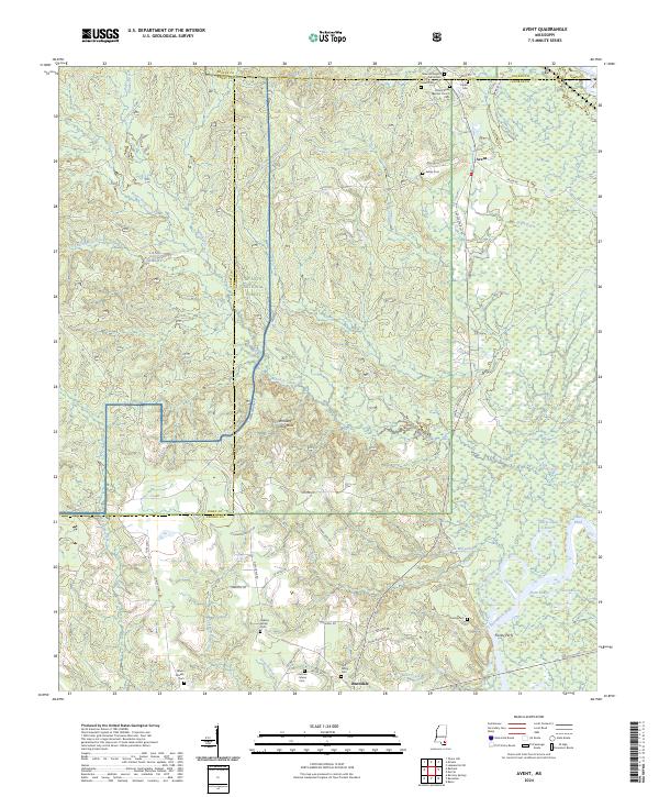 2024 Avent2024 Print · USGSSoutheastern Mississippi at the meeting of the Pascagoula and Leaf Rivers reveals a landscape of deep-rooted family settlements and forest tracks. Genealogists can trace local lineages through the Fairley Cem, Pipkin Cem, and the historic Fairley Ferry.
 - 2024 Map of Howell, 2024 Print
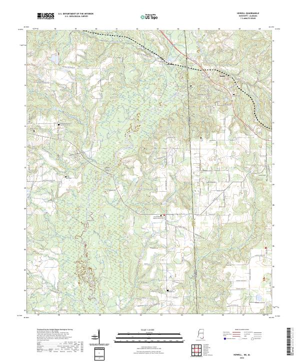 2024 Howell2024 Print · USGSThe Mississippi and Alabama borderlands are captured here in a contemporary portrait of rural communities and river lowlands. Genealogists and local historians can locate numerous burial grounds and crossings, including Howells Ferry, Eli Moffet Cem, and Midway Cem.
 - 2024 Map of Easen Hill, 2024 Print
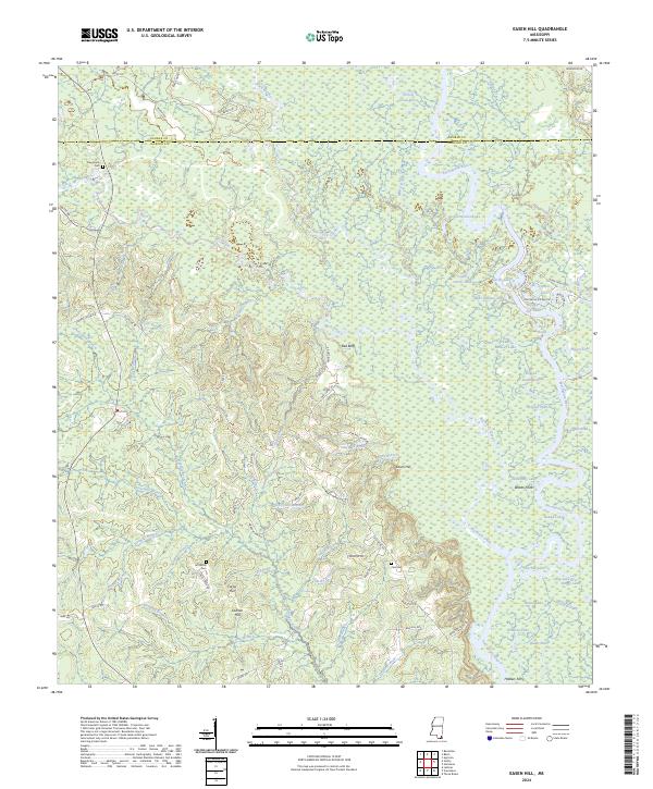 2024 Easen Hill2024 Print · USGSThe river bottomlands of Jackson and George County are captured here in the early twenty-first century, showing a complex network of oxbow lakes and branches. Genealogists can locate family landmarks such as Jeff White Cem, Ladnier Hill, and the old crossing at Holders Ferry.
 - 2024 Map of Agricola, 2024 Print
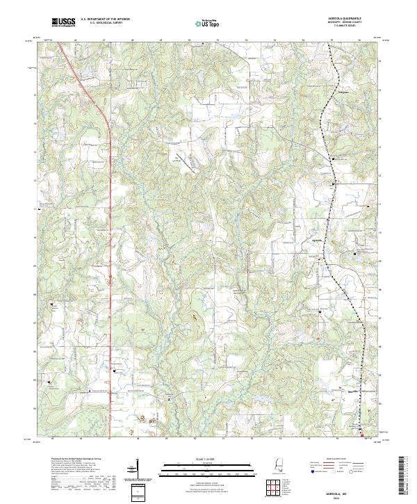 2024 Agricola2024 Print · USGSGeorge County's rural communities of Agricola and Movella appear in this recent survey of southeastern Mississippi. Genealogists and local historians can map several burial grounds and churches, such as Bethlehem Cem, Agricola Cem, and the Movella Assembly of God.
 - 2024 Map of Benndale, 2024 Print
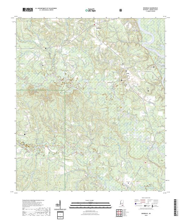 2024 Benndale2024 Print · USGSGeorge County's timberlands and river bottoms are documented here in recent years, centered on the community of Benndale. Genealogists can trace numerous family-named landmarks and burial sites, including the Byrd - Cowart Cem, Cain Cem, and Mixon Cem.
 - 2024 Map of Vestry, 2024 Print
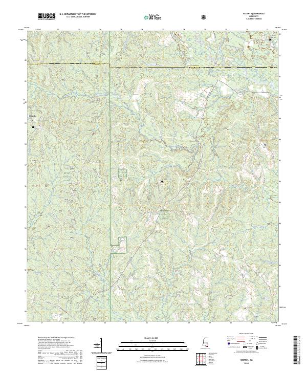 2024 Vestry2024 Print · USGSCoastal Mississippi's piney woods and creek bottoms are documented here in the 2020s, showing the intersection of Jackson and George counties. Researchers can locate family burial sites like Ramsey Cem and Byrd Cem or trace the winding paths of Bluff Creek and Red Creek.
 - 2024 Map of Barbara, 2024 Print
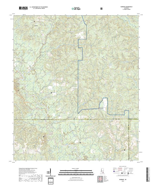 2024 Barbara2024 Print · USGSDe Soto National Forest and the Black Creek corridor define this South Mississippi landscape as it appears today. Genealogists can trace several remote burial grounds including Thomas Cem, Cochran Cem, and the Miles Cem near the Steve Hills.
 - 2024 Map of Hurley, 2024 Print
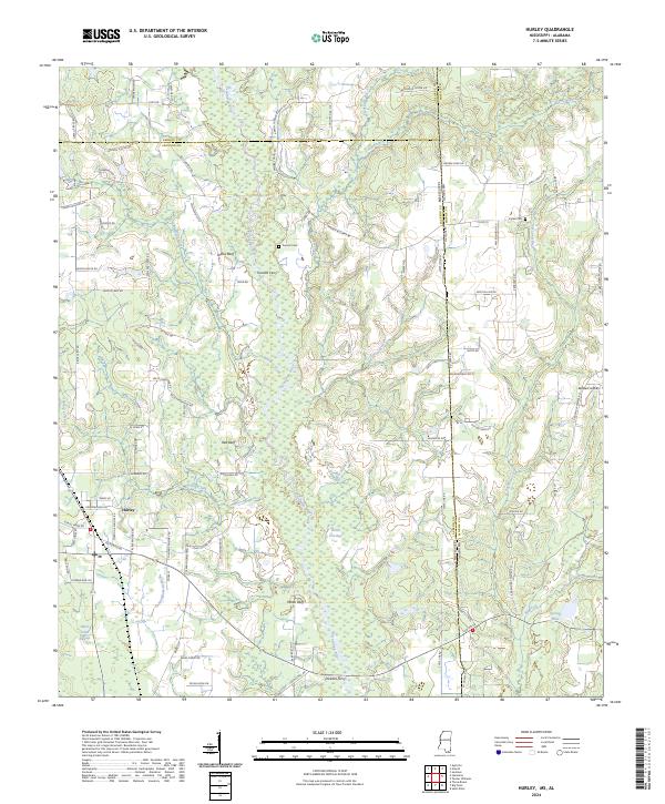 2024 Hurley2024 Print · USGSThe Mississippi-Alabama borderlands come into focus in this contemporary survey of the rural Jackson County area. Genealogists can trace family footprints near Hurley through landmarks like Tanners Cem and historically significant river crossings at Tanners Ferry and Dickens Ferry.
 - 2024 Map of Harleston, 2024 Print
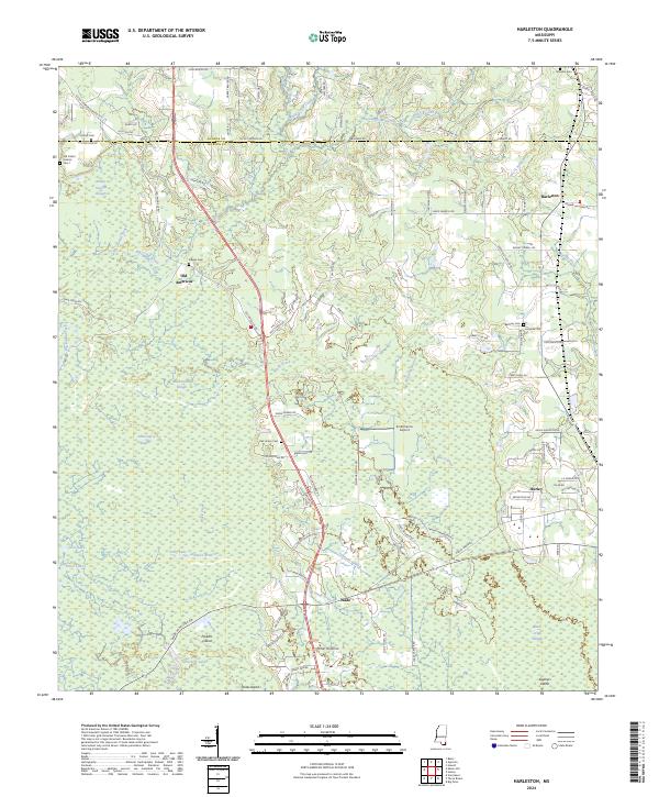 2024 Harleston2024 Print · USGSSpanning the border of George and Jackson Counties in the 2020s, this area shows a landscape defined by the winding waters of Black Creek and rural Mississippi life. Researchers can locate numerous family burial sites including Old Carter Historic Cem 1, Steede Cem, and the historic settlement site of Old Americus.
Showing maps 1-25 of 30
Top cities of George County
Frequently asked questions
- What are the different types of historical maps available for George County?
- What is the oldest map of George County?
- Where can I purchase historical maps of George County for my home or office?
- Where can I download high-res historical maps of George County?
- Are there historical topographic maps available for George County?
- Is there historical aerial imagery available for George County?
- Where are historical maps of George County sourced from?