2010s Maps of George County, Mississippi
Explore 45 historic maps of George County from the 2010s. These maps offer a rare glimpse into what life looked like during the 2010s — showing old roads, neighborhoods, homes, and landmarks that have changed or disappeared over time.
Whether you're researching your family's past, planning a metal detecting trip, or studying how George County's landscape evolved across the 2010s, these high-resolution maps are a powerful tool for exploring the history of this region.
- Focus on a specific era: All maps on this page are from the 2010s, giving you a focused view of this time period.
- See what’s changed: Compare century-old streets, trails, and buildings to today's modern landscape using overlays and satellite layers.
- Research with precision: Use these maps for genealogy, historical research, land use analysis, or educational projects.
- View, download, or print: Maps are fully viewable online in high resolution, and can be downloaded or printed for your own records.
Start exploring George County's history through authentic maps from the 2010s. This is your window into the past.
George County, MS maps
(45)- 2011 Map of Earlville, 2011 Print
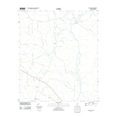 2011 Earlville2011 Print · USGSThe Alabama-Mississippi borderlands appear in detail in this study of the Escatawpa River valley and its rural communities. Researchers can trace family roots through numerous burial sites like Macedonia Cemetery or locate the settlement of Earlville.
 - 2012 Map of Vestry, 2012 Print
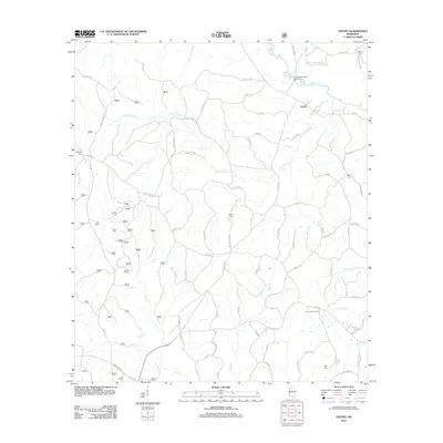 2012 Vestry2012 Print · USGSVestry and the surrounding Jackson County wetlands are captured here in the early twenty-first century as the landscape transitioned between historic timber use and modern recreation. Genealogists and local historians can trace family sites at Ramsey Cem or Byrd Cem and locate landmarks like the Elico Lookout Tower.
 - 2012 Map of Avent, 2012 Print
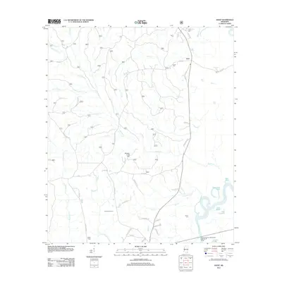 2012 Avent2012 Print · USGSSoutheast Mississippi's piney woods and river bottomlands are captured here in the early twenty-first century. Researchers can locate family landmarks like Pipkin Cem and Mixon-Mizelle Cem, or trace the winding course of the Pascagoula River.
 - 2012 Map of Beatrice, 2012 Print
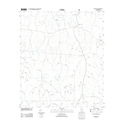 2012 Beatrice2012 Print · USGSCoastal Mississippi's interior pine forests and rural crossroads are captured here during the early 2010s. Genealogists can locate family sites like Broadus Cem and Ramsey Cem while tracing the historic route of Wire Rd E.
 - 2012 Map of Ramsey Springs, 2012 Print
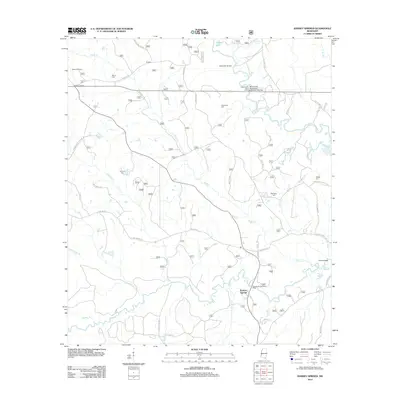 2012 Ramsey Springs2012 Print · USGSStone County’s river-fed backcountry comes to life in this survey of the Mississippi piney woods during the early twenty-first century. Genealogists and local historians can trace family roots through Moore Cem, Wittington Cem, and the settlement at Rosette.
 - 2012 Map of Barbara, 2012 Print
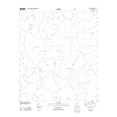 2012 Barbara2012 Print · USGSPerry County's rural creek-bottom lands and timbered ridges are captured here in the early twenty-first century. Genealogists and local historians can locate several family burial sites, including Thomas Cem and O'Neal Cem, or trace the winding course of Black Creek past Fairley Bridge Landing.
 - 2012 Map of Easen Hill, 2012 Print
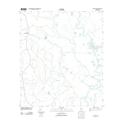 2012 Easen Hill2012 Print · USGSThe Pascagoula River bottomlands in Jackson County come into focus during the early twenty-first century, showing a landscape defined by oxbow lakes and rural settlements. Researchers can trace family history through sites like White Cem and Holly Landing, or locate landmarks such as Sims-Mill Pond and Red Bluff.
 - 2012 Map of Hurley, 2012 Print
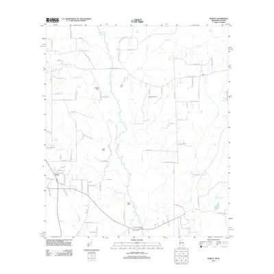 2012 Hurley2012 Print · USGSJackson County at the start of the 2010s reveals a rural landscape deeply tied to the Escatawpa River corridor. Researchers can pinpoint family history sites at Tanners Cem or trace local landmarks like Hurley Lookout Tower and Aerohead Airport.
 - 2012 Map of Merrill, 2012 Print
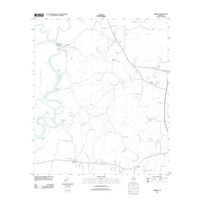 2012 Merrill2012 Print · USGSGeorge County's river-bottom landscape is captured here at the start of the 2010s, where the Leaf and Chickasawhay rivers join. Genealogists can locate family burial sites like Pipkins Cemetery and Merrill Cemetery, or trace old routes near Bexley and Crossroads.
 - 2012 Map of Howell, 2012 Print
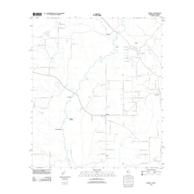 2012 Howell2012 Print · USGSGeorge County and the Mississippi-Alabama borderlands are captured here in the early twenty-first century as rural communities thrive along the winding Escatawpa River. Researchers can trace local lineage through numerous burial sites including Moffetville Cem, Finch Cem, and Midway Cem.
 - 2012 Map of Harleston, 2012 Print
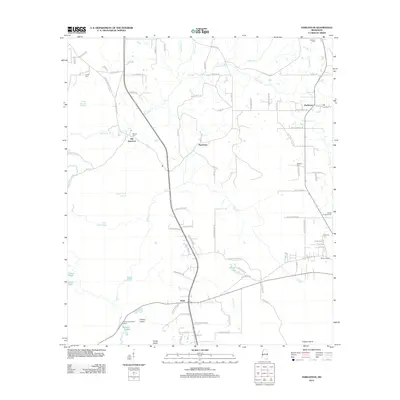 2012 Harleston2012 Print · USGSCoastal Mississippi riverlands come into focus in the early 2010s, showing the intricate sloughs and creek-side settlements of Jackson County. Trace the locations of rural communities like Old Americus and Wade, or locate family sites such as Steede Cem and Carter Cem.
 - 2012 Map of Basin, 2012 Print
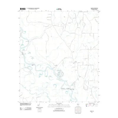 2012 Basin2012 Print · USGSGeorge County's riverfront life is preserved here in the early 2000s, showing the intricate bends and oxbows of the Pascagoula River. Local historians can trace the heritage of the Mengel Lumber Camp, the old Wilkerson Ferry, and family plots like the Byrd-Helveston Cem.
 - 2012 Map of Lucedale, 2012 Print
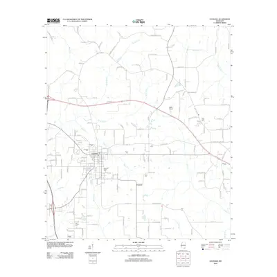 2012 Lucedale2012 Print · USGSSoutheast Mississippi's rural character and county seat come into focus during the early twenty-first century. Genealogists and historians can trace family ties through numerous burial grounds like Magnolia Garden Cem and named routes like Billie Tilley Hl.
 - 2012 Map of Agricola, 2012 Print
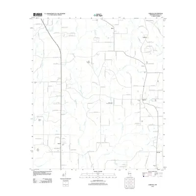 2012 Agricola2012 Print · USGSGeorge County's rural landscapes are documented here in the early twenty-first century, showing a region shaped by timber and small-town roots. Researchers can trace family history through numerous burial grounds like Agricola Cem and New Hope Cem, or locate landmarks such as Shipman Lookout Tower.
 - 2012 Map of Benndale, 2012 Print
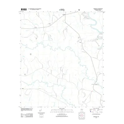 2012 Benndale2012 Print · USGSThe winding Pascagoula River and Black Cr dominate this George County landscape during the early 2010s. Researchers can locate numerous family landmarks like Byrd Bridge and several burial grounds, including Cain Cem and Mixon Cem.
 - 2014 Map of Earlville, 2014 Print
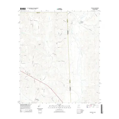 2014 Earlville2014 Print · USGSThe Alabama-Mississippi borderlands come into focus in the early 2010s, showing a landscape defined by the Escatawpa River and rural family homesteads. Genealogists can locate several remote burial grounds like Macedonia Cem and Shipman Cem near the historic Shipman settlement.
 - 2015 Map of Beatrice, 2015 Print
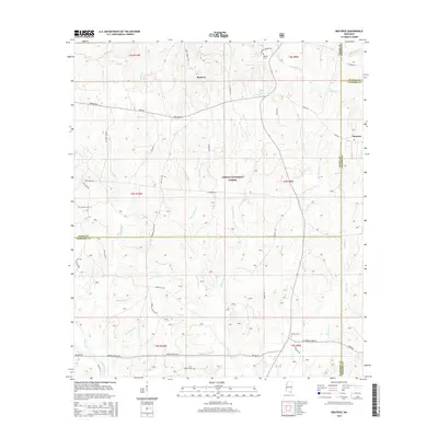 2015 Beatrice2015 Print · USGSCoastal Mississippi pine lands come into focus in the mid-2010s at the intersection of four counties. Genealogists and local historians can trace family sites like Broadus Cem and Ramsey Cem near the historic Wire Road E and Beatrice.
 - 2015 Map of Avent, 2015 Print
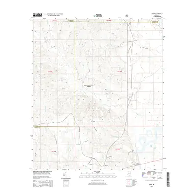 2015 Avent2015 Print · USGSThe borderlands of George and Greene Counties come into focus in the mid-2010s, centered on the Desoto National Forest. Genealogists and local historians can trace family-named sites like Avent, Pipkin Cem, and the winding Pascagoula River lowlands.
 - 2015 Map of Benndale, 2015 Print
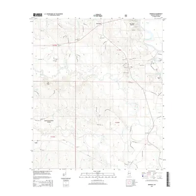 2015 Benndale2015 Print · USGSGeorge County's forested river country is documented here in the mid-2010s, showing the intersection of rural life and the protected lands of the DeSoto National Forest. Researchers can trace local lineage through numerous sites like Antioch Cem, Mixon Cem, and the crossing at Byrd Bridge.
 - 2015 Map of Hurley, 2015 Print
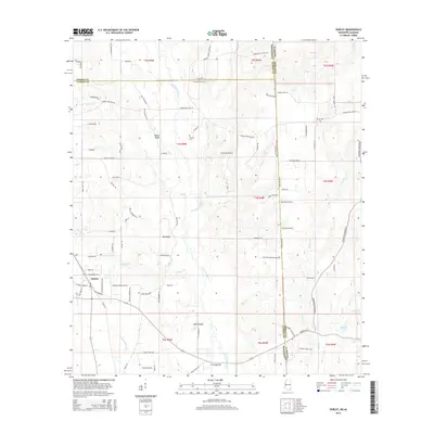 2015 Hurley2015 Print · USGSThe borderlands of Mississippi and Alabama come into focus in the mid-2010s, centered on the community of Hurley and the winding Escatawpa River. Genealogists and local historians can trace family sites near Tanners Cem, White Bluff, and the Aerohead Airport.
 - 2015 Map of Harleston, 2015 Print
 2015 Harleston2015 Print · USGSJackson County, Mississippi, is mapped here in the modern era as a network of creek-side settlements and rural homesteads. Genealogists can trace family landmarks and burial sites including Steede Cem, Oak Grove Cem, and the community of Old Americus.
 - 2015 Map of Ramsey Springs, 2015 Print
 2015 Ramsey Springs2015 Print · USGSCoastal Mississippi's piney woods and creek bottoms are well-documented here during the early twenty-first century. Genealogists and local historians can trace family locations through numerous sites like Hickman Cem, Alexander Bridge, and the settlement of Ramsey Springs.
 - 2015 Map of Easen Hill, 2015 Print
 2015 Easen Hill2015 Print · USGSThe river-bottom country of Jackson and George Counties is captured here in the mid-2010s, showing a landscape defined by the junctions of Red Creek and Black Creek. Genealogists can locate family sites at Pine Grove Cem or White Cem and trace old routes like Schoolhouse Rd near Holly Landing.
 - 2015 Map of Barbara, 2015 Print
 2015 Barbara2015 Print · USGSPerry County and the surrounding Pine Belt are captured here in the mid-2010s, showing a landscape defined by forest and family-named landmarks. Genealogists can locate several burial sites including Fairley Cem, Cooper Cem, and Red Hill Cem.
 - 2015 Map of Basin, 2015 Print
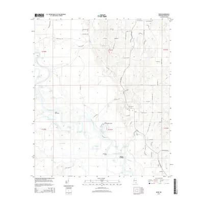 2015 Basin2015 Print · USGSGeorge County's river-bottom landscape is captured here in the mid-2010s, showing a region defined by the winding Pascagoula River and its many oxbow lakes. Researchers can locate family sites near Basin, Gibson Landing, and local cemeteries like Fairley Cem or Gibson Cem.
Showing maps 1-25 of 45
Top cities of George County
Frequently asked questions
- What are the different types of historical maps available for George County?
- What is the oldest map of George County?
- Where can I purchase historical maps of George County for my home or office?
- Where can I download high-res historical maps of George County?
- Are there historical topographic maps available for George County?
- Is there historical aerial imagery available for George County?
- Where are historical maps of George County sourced from?