2000s (21st Century) Maps of George County, Mississippi
Explore 79 historic maps of George County from the 2000s (21st Century). These maps offer a rare glimpse into what life looked like during the 2000s — showing old roads, neighborhoods, homes, and landmarks that have changed or disappeared over time.
Whether you're researching your family's past, planning a metal detecting trip, or studying how George County's landscape evolved across the 2000s, these high-resolution maps are a powerful tool for exploring the history of this region.
- Focus on a specific era: All maps on this page are from the 2000s, giving you a focused view of this time period.
- See what’s changed: Compare century-old streets, trails, and buildings to today's modern landscape using overlays and satellite layers.
- Research with precision: Use these maps for genealogy, historical research, land use analysis, or educational projects.
- View, download, or print: Maps are fully viewable online in high resolution, and can be downloaded or printed for your own records.
Start exploring George County's history through authentic maps from the 2000s. This is your window into the past.
George County, MS maps
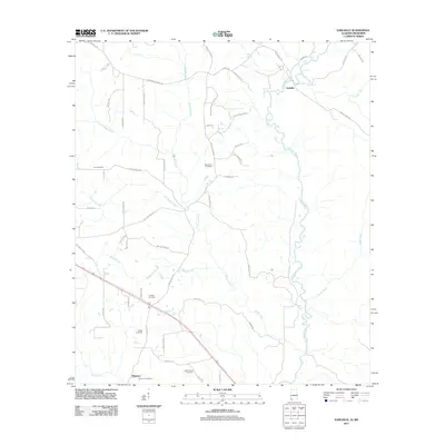
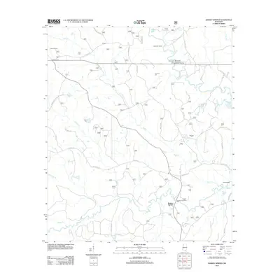
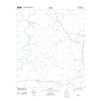
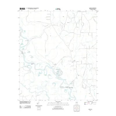
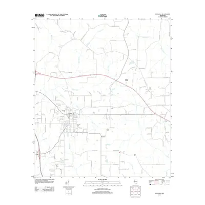
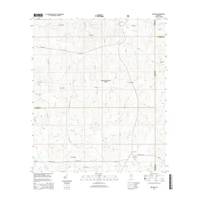
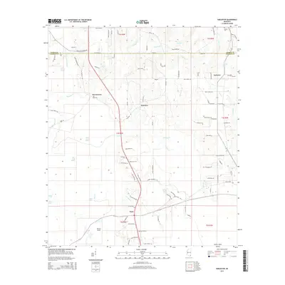
(79)- 2000 Map of Ramsey Springs, 2002 Print
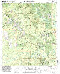 2000 Ramsey Springs2002 Print · USGSSoutheast Mississippi forest lands at the turn of the millennium are defined here by the winding Black Creek and Red Creek corridors. Researchers can locate remote family burial sites like Whittington Cem and Hickman Cem or trace the early rural hubs of Ramsey Springs and Moore Crossing.
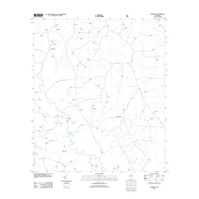
 - 2000 Map of Benndale, 2002 Print
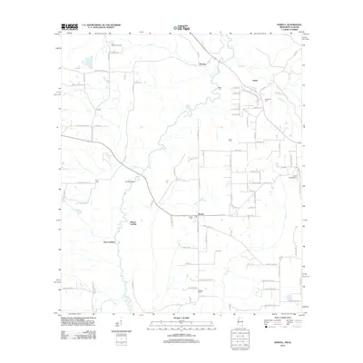
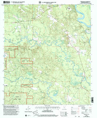 2000 Benndale2002 Print · USGSSoutheast Mississippi's piney woods and river bottoms come into focus at the turn of the millennium near the edge of the De Soto National Forest. Genealogists and local historians can trace family ties through several remote burial grounds and churches, including the Byrd-Cowart Cem, Antioch Ch, and the Cain Cem.
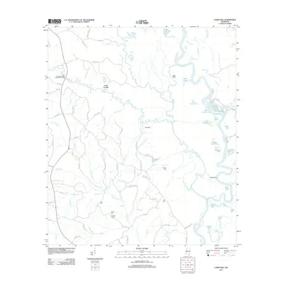
 - 2000 Map of Barbara, 2003 Print
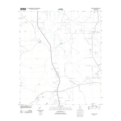
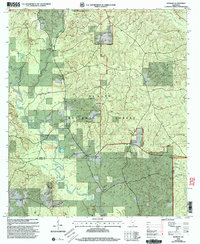 2000 Barbara2003 Print · USGSThe De Soto National Forest comes into focus at the turn of the century as a landscape defined by the winding Black Creek. Researchers can trace family roots through numerous small cemeteries and sites like St Luke Ch, Doctor Lake, and Cochran Cem.
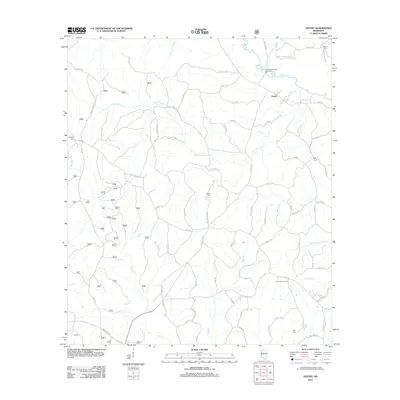
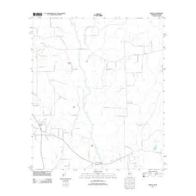
 - 2000 Map of Avent, 2003 Print
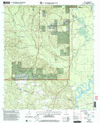 2000 Avent2003 Print · USGSGeorge County's forested uplands and river bottoms are documented here at the turn of the century, showing a landscape defined by the Pascagoula River. Genealogists can trace family roots at Salem Cem and Mixon-Mizelle Cem or locate the old Holly Grove Sch.
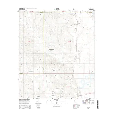
 - 2011 Map of Earlville, 2011 Print
 2011 Earlville2011 Print · USGSCovers George County, including Earlville, Shipman, and other nearby areas
 - 2012 Map of Vestry, 2012 Print
 2012 Vestry2012 Print · USGSCovers George County, including Vestry, Jackson County, and other nearby areas
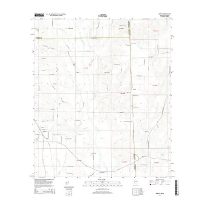
 - 2012 Map of Avent, 2012 Print
 2012 Avent2012 Print · USGSCovers George County, including Avent, Perry County, and other nearby areas
 - 2012 Map of Beatrice, 2012 Print
 2012 Beatrice2012 Print · USGSCovers George County, including Dantzler, Beatrice, and other nearby areas
 - 2012 Map of Ramsey Springs, 2012 Print
 2012 Ramsey Springs2012 Print · USGSCovers George County, including Ramsey Springs, Stone County, and other nearby areas
 - 2012 Map of Barbara, 2012 Print
 2012 Barbara2012 Print · USGSCovers George County, including Batt Place, Deep Creek, and other nearby areas
 - 2012 Map of Easen Hill, 2012 Print
 2012 Easen Hill2012 Print · USGSCovers George County, including Holly Landing, Jackson County, and other nearby areas
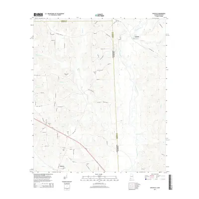
 - 2012 Map of Hurley, 2012 Print
 2012 Hurley2012 Print · USGSCovers George County, including Hurley, Mobile County, and other nearby areas
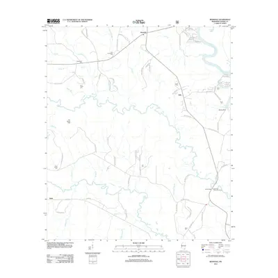
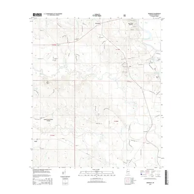
 - 2012 Map of Merrill, 2012 Print
 2012 Merrill2012 Print · USGSCovers George County, including Central, Crossroads, and other nearby areas
 - 2012 Map of Howell, 2012 Print
 2012 Howell2012 Print · USGSCovers George County, including Latonia, Dean Landing, and other nearby areas
 - 2012 Map of Harleston, 2012 Print
 2012 Harleston2012 Print · USGSCovers George County, including Popetown, Wade, and other nearby areas
 - 2012 Map of Basin, 2012 Print
 2012 Basin2012 Print · USGSCovers George County, including Gibson Landing, United States, and other nearby areas
 - 2012 Map of Lucedale, 2012 Print
 2012 Lucedale2012 Print · USGSCovers George County, including Lucedale, Rock Creek, and other nearby areas
 - 2012 Map of Agricola, 2012 Print
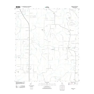 2012 Agricola2012 Print · USGSCovers George County, including Movella, Agricola, and other nearby areas
 - 2012 Map of Benndale, 2012 Print
 2012 Benndale2012 Print · USGSCovers George County, including Benndale, Pascagoula River Estates, and other nearby areas
 - 2014 Map of Earlville, 2014 Print
 2014 Earlville2014 Print · USGSCovers George County, including Earlville, Shipman, and other nearby areas
 - 2015 Map of Beatrice, 2015 Print
 2015 Beatrice2015 Print · USGSCovers George County, including Dantzler, Beatrice, and other nearby areas
 - 2015 Map of Avent, 2015 Print
 2015 Avent2015 Print · USGSCovers George County, including Avent, Perry County, and other nearby areas
 - 2015 Map of Benndale, 2015 Print
 2015 Benndale2015 Print · USGSCovers George County, including Benndale, Pascagoula River Estates, and other nearby areas
 - 2015 Map of Hurley, 2015 Print
 2015 Hurley2015 Print · USGSCovers George County, including Hurley, Mobile County, and other nearby areas
 - 2015 Map of Harleston, 2015 Print
 2015 Harleston2015 Print · USGSCovers George County, including Popetown, Wade, and other nearby areas
Showing maps 1-25 of 79
Top cities of George County
Frequently asked questions
- What are the different types of historical maps available for George County?
- What is the oldest map of George County?
- Where can I purchase historical maps of George County for my home or office?
- Where can I download high-res historical maps of George County?
- Are there historical topographic maps available for George County?
- Is there historical aerial imagery available for George County?
- Where are historical maps of George County sourced from?