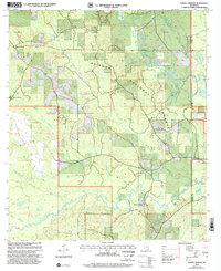
2000 Map of Ramsey Springs
USGS Topo · Published 2002About this map
The De Soto National Forest dominates this landscape along the border of Stone and George counties, where a complex network of waterways defines the terrain. The northern reaches are characterized by the winding path of Black Creek, supported by tributaries like Sandy Creek and Deep Branch. This area shows a pattern of rural Mississippi settlement concentrated around family-named landmarks and small timber-country outposts like Rosette and Moore Crossing.
Find a feature on this map
32 named features on this map. Tap any name to fly to it.
Don’t see what you’re looking for? This feature index may not catch every label — zoom into the map to look around manually.
Map Details
Editions of this 2000 Ramsey Springs Map
This is the sole edition of this map. No revisions or reprints were ever made.
Other maps of this area

1947 · Wiggins
USGS Topo · 1:62,500

1947 · Benndale
USGS Topo · 1:62,500

1949 · Wiggins
USGS Topo · 1:62,500

1949 · Benndale
USGS Topo · 1:62,500

1953 · Mobile
USGS Topo · 1:250,000

1954 · Vestry
USGS Topo · 1:62,500

1954 · McHenry
USGS Topo · 1:62,500

1957 · Mobile
USGS Topo · 1:250,000

1960 · Mobile
USGS Topo · 1:250,000

1963 · Mobile
USGS Topo · 1:250,000