2010s Maps of Harrison County, Mississippi
Explore 65 historic maps of Harrison County from the 2010s. These maps offer a rare glimpse into what life looked like during the 2010s — showing old roads, neighborhoods, homes, and landmarks that have changed or disappeared over time.
Whether you're researching your family's past, planning a metal detecting trip, or studying how Harrison County's landscape evolved across the 2010s, these high-resolution maps are a powerful tool for exploring the history of this region.
- Focus on a specific era: All maps on this page are from the 2010s, giving you a focused view of this time period.
- See what’s changed: Compare century-old streets, trails, and buildings to today's modern landscape using overlays and satellite layers.
- Research with precision: Use these maps for genealogy, historical research, land use analysis, or educational projects.
- View, download, or print: Maps are fully viewable online in high resolution, and can be downloaded or printed for your own records.
Start exploring Harrison County's history through authentic maps from the 2010s. This is your window into the past.
Harrison County, MS maps
(65)- 2012 Map of Isle au Pitre, 2012 Print
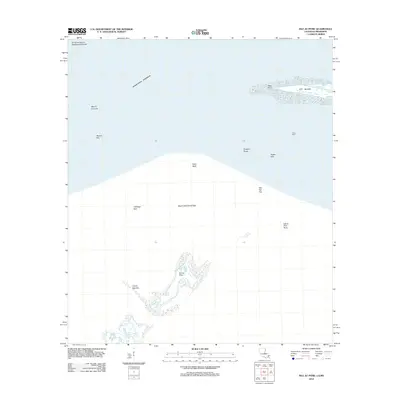 2012 Isle au Pitre2012 Print · USGSThe coastal boundary of Mississippi and Louisiana comes into focus through this survey of the Mississippi Sound's barrier islands and shoals. Maritime researchers can trace the intricate shorelines of Isle au Pitre and Cat Island or locate remote landmarks like Creole Gap Key.
 - 2012 Map of White Plains, 2012 Print
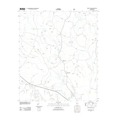 2012 White Plains2012 Print · USGSCoastal Mississippi forest and river lands are documented here in the early twenty-first century as the region balanced rural heritage with modern infrastructure. Genealogists and local researchers can locate Walden Cem, trace the Tchoutacabouffa River, and follow old routes like Blackwell Farm Rd.
 - 2012 Map of Beatrice, 2012 Print
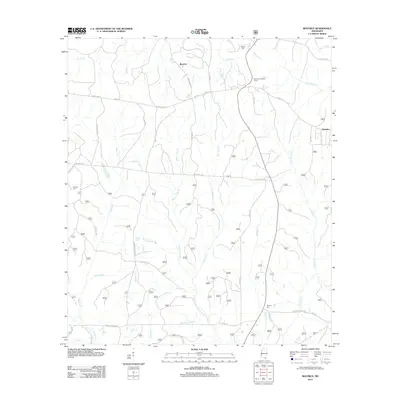 2012 Beatrice2012 Print · USGSCoastal Mississippi's interior pine forests and rural crossroads are captured here during the early 2010s. Genealogists can locate family sites like Broadus Cem and Ramsey Cem while tracing the historic route of Wire Rd E.
 - 2012 Map of Sellers, 2012 Print
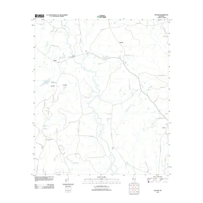 2012 Sellers2012 Print · USGSHarrison County's rural interior comes into focus during the early twenty-first century as recreational camps and timberland surround small crossroad communities. Researchers can locate family landmarks like Sellers Bridge and historic burial sites including Shaw Cem and Wolf River Cem.
 - 2012 Map of Silver Run, 2012 Print
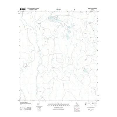 2012 Silver Run2012 Print · USGSSilver Run and the Pearl River County backcountry are captured here in the early twenty-first century, showing a landscape of timberlands and family homesteads. Researchers can locate ancestral sites like Dedeaux Cem or trace landmarks such as the Hickman Lookout Tower.
 - 2012 Map of Airey, 2012 Print
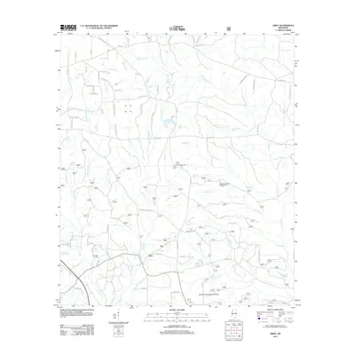 2012 Airey2012 Print · USGSHarrison County in the early twenty-first century reveals a landscape of managed timberlands and family-named homesteads. Genealogists and historians can locate Broadus Cem, trace the drainage of Tuxachanie Cr, and find the Airey Lookout Tower.
 - 2012 Map of Gulfport South, 2012 Print
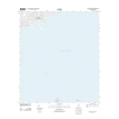 2012 Gulfport South2012 Print · USGSThe Mississippi Gulf Coast is captured here in the early twenty-first century, showing the intersection of maritime industry and urban life. Researchers can trace the waterfront layout of the Port of Gulfport, Gaston Point, and Milner Stadium.
 - 2012 Map of Success, 2012 Print
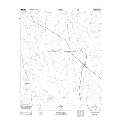 2012 Success2012 Print · USGSNorth of Gulfport during the early twenty-first century, this area of Harrison County shows a landscape of creek-fed timberlands and emerging rural communities. Genealogists and local historians can locate family landmarks like Saucier Cem and Williams Cem, or trace the grounds of the Lyman Fish Hatchery.
 - 2012 Map of Pass Christian, 2012 Print
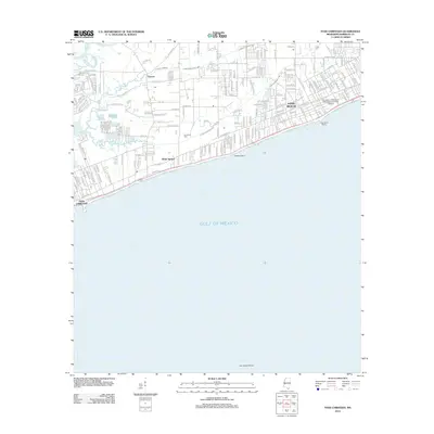 2012 Pass Christian2012 Print · USGSThe Mississippi shoreline comes alive in this modern survey of the historic harbor towns between the bayous and the sound. Genealogists and local historians can trace family locations near Courtenay Cem, the Long Beach Marina, and the University of Southern Mississippi-Gulf Park Campus.
 - 2012 Map of Gulfport NW, 2012 Print
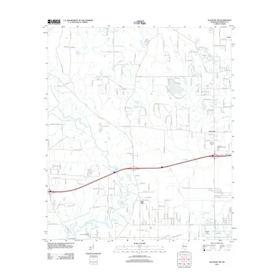 2012 Gulfport NW2012 Print · USGSHarrison County in the early twenty-first century reveals a landscape of growing residential communities and vital coastal waterways. Genealogists and local historians can trace family locations near Lyman and New Hope or find historical sites like Allen Cem.
 - 2012 Map of Dedeaux, 2012 Print
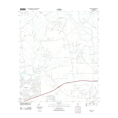 2012 Dedeaux2012 Print · USGSCoastal Mississippi and the growing community of Diamondhead are captured here in the early twenty-first century. Genealogists and local historians can trace the roads around Dedeaux, find Saint Joseph Cem, and explore the wetlands of Rotten Bayou.
 - 2012 Map of Bay Saint Louis, 2012 Print
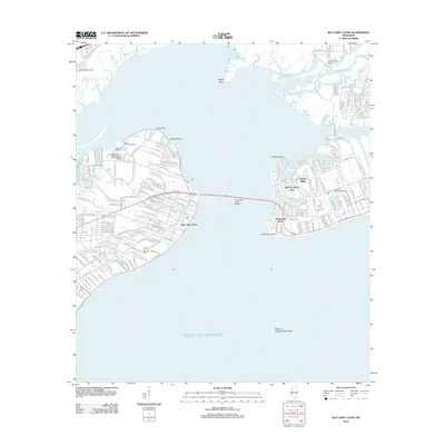 2012 Bay Saint Louis2012 Print · USGSThe Mississippi Gulf Coast is captured here in the early 2010s, showcasing the intricate shoreline of Saint Louis Bay. Researchers can trace the waterfront developments of Bay Saint Louis, locate the Garden of Memory Cem, and explore the winding paths of the Wolf River.
 - 2012 Map of McHenry, 2012 Print
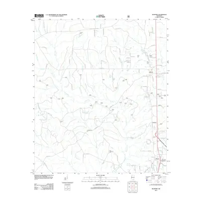 2012 McHenry2012 Print · USGSHarrison County settlement patterns and family heritage are on display here in the early twenty-first century. Genealogists can trace local lineages through family-named landmarks like Doss Wedgeworth Cem or the haunting Yellow Fever Cem near Perry.
 - 2012 Map of Wortham, 2012 Print
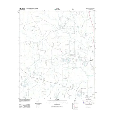 2012 Wortham2012 Print · USGSHarrison County's piney woods and river bottoms appear here in the early twenty-first century as a mix of rural homesteads and county infrastructure. Genealogists can trace family roots at Wedgeworth Cem and Live Oak Cem while locating old settlements like Wortham.
 - 2012 Map of Gulfport North, 2012 Print
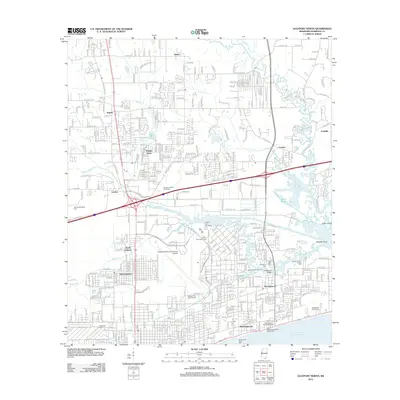 2012 Gulfport North2012 Print · USGSThe Mississippi coast in the early twenty-first century reveals a dense network of suburban neighborhoods and maritime heritage. Trace local genealogy at Evergreen Cem or follow the Kansas City Southern rail through Handsboro.
 - 2012 Map of Deer Island, 2012 Print
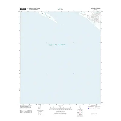 2012 Deer Island2012 Print · USGSThe Mississippi shoreline east of Biloxi is captured here in the early 2010s, showing the developed coast across from the wilder stretches of the sound. Trace the residential growth along Point Aux Chenes Rd or the geography of Deer Island and Grand Bayou.
 - 2012 Map of Ocean Springs, 2012 Print
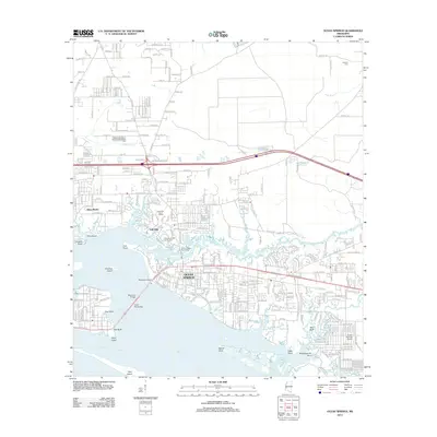 2012 Ocean Springs2012 Print · USGSCoastal Mississippi in the early twenty-first century reveals a landscape of tidal bayous and growing shoreline communities. Genealogists and local historians can trace the development of Ocean Springs and Saint Martin or locate family sites near Antioch Cem and Weeks Bayou.
 - 2012 Map of Dog Keys Pass, 2012 Print
 2012 Dog Keys Pass2012 Print · USGSThe Mississippi coast and the open waters of the Gulf of Mexico define this coastal survey from the early 2010s. Maritime researchers can trace the positions of East Point and West Point to see how these landmarks guarded the sound.
 - 2012 Map of Biloxi, 2012 Print
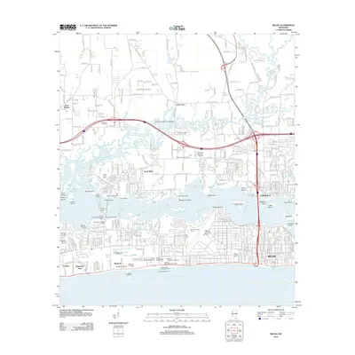 2012 Biloxi2012 Print · USGSThe Mississippi Gulf Coast is captured here in the early twenty-first century, showing the intricate relationship between the bay and the growing city. Trace historic landmarks from Beauvoir and the Old French Cem to the sprawling Keesler Air Force Base.
 - 2012 Map of Cat Island, 2012 Print
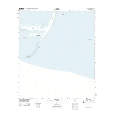 2012 Cat Island2012 Print · USGSCoastal Mississippi’s outer barrier islands are captured here in the early 21st century, detailing a landscape defined by tide and sand. Trace the shifting shorelines of Cat Island from the heights of Great Sand Hill to the tidal reaches of Smugglers Cove.
 - 2012 Map of Ship Island, 2012 Print
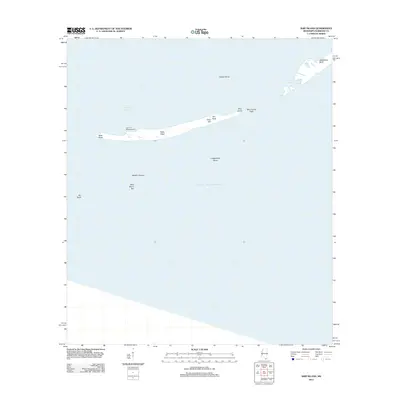 2012 Ship Island2012 Print · USGSShip Island stands as a storied barrier in the Gulf during the early twenty-first century. Researchers can locate the historic Old Fort Massachusetts and trace the shifting geography of The Neck and West Point.
 - 2015 Map of Isle au Pitre, 2015 Print
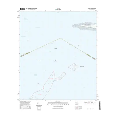 2015 Isle au Pitre2015 Print · USGSThe coastal boundary between Mississippi and Louisiana is captured here in the mid-2010s, showing a landscape of shifting shoals and maritime channels. Nautical researchers and local historians can trace the intricate flats and keys of Isle au Pitre, Cat Island, and Pelican Key.
 - 2015 Map of Gulfport NW, 2015 Print
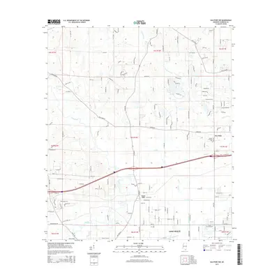 2015 Gulfport NW2015 Print · USGSCoastal Mississippi comes into focus in the mid-2010s, revealing a landscape of winding bayous and growing residential pockets. Genealogists and researchers can trace local landmarks like Allen Cem, Jones Mill, and the crossings along the Wolf River.
 - 2015 Map of Beatrice, 2015 Print
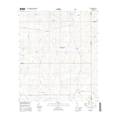 2015 Beatrice2015 Print · USGSCoastal Mississippi pine lands come into focus in the mid-2010s at the intersection of four counties. Genealogists and local historians can trace family sites like Broadus Cem and Ramsey Cem near the historic Wire Road E and Beatrice.
 - 2015 Map of White Plains, 2015 Print
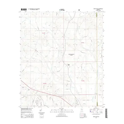 2015 White Plains2015 Print · USGSHarrison County's inland forest and river country are documented here in the early twenty-first century as modern developments began to meet old timberlands. Genealogists can trace family names at Walden Cemetery or follow the waters of the Tchoutacabouffa River and Tuxachanie Creek.
Showing maps 1-25 of 65
Top cities of Harrison County
- Gulfport historical maps
- Biloxi historical maps
- Long Beach historical maps
- D'Iberville historical maps
- Pass Christian historical maps
Frequently asked questions
- What are the different types of historical maps available for Harrison County?
- What is the oldest map of Harrison County?
- Where can I purchase historical maps of Harrison County for my home or office?
- Where can I download high-res historical maps of Harrison County?
- Are there historical topographic maps available for Harrison County?
- Is there historical aerial imagery available for Harrison County?
- Where are historical maps of Harrison County sourced from?