2000s (21st Century) Maps of Jasper County, Mississippi
Explore 82 historic maps of Jasper County from the 2000s (21st Century). These maps offer a rare glimpse into what life looked like during the 2000s — showing old roads, neighborhoods, homes, and landmarks that have changed or disappeared over time.
Whether you're researching your family's past, planning a metal detecting trip, or studying how Jasper County's landscape evolved across the 2000s, these high-resolution maps are a powerful tool for exploring the history of this region.
- Focus on a specific era: All maps on this page are from the 2000s, giving you a focused view of this time period.
- See what’s changed: Compare century-old streets, trails, and buildings to today's modern landscape using overlays and satellite layers.
- Research with precision: Use these maps for genealogy, historical research, land use analysis, or educational projects.
- View, download, or print: Maps are fully viewable online in high resolution, and can be downloaded or printed for your own records.
Start exploring Jasper County's history through authentic maps from the 2000s. This is your window into the past.
Jasper County, MS maps
(82)- 2000 Map of Clear Springs, 2002 Print
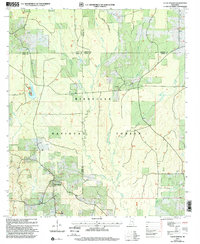 2000 Clear Springs2002 Print · USGSCentral Mississippi's piney woods appear at the turn of the millennium where four counties meet in the Bienville National Forest. Genealogists can trace local landmarks like Decedar Ch Cem, Burnett Cem, and the community of Clear Springs.
 - 2000 Map of Montrose North, 2002 Print
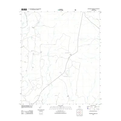
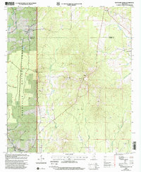 2000 Montrose North2002 Print · USGSThe borderlands of Jasper and Newton counties are shown at the turn of the millennium as rural communities and forest lands intersect. Genealogists can trace family landmarks like Randall Hill Cem, Mt Nebo Ch, and the settlement of Garlandville.
 - 2012 Map of Heidelberg SW, 2012 Print
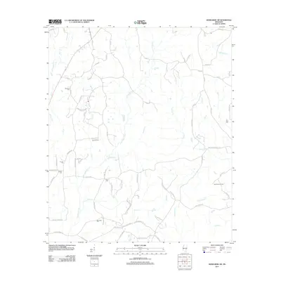 2012 Heidelberg SW2012 Print · USGSCovers Jasper County, including Heidelberg, Jones County, and other nearby areas
 - 2012 Map of Heidelberg, 2012 Print
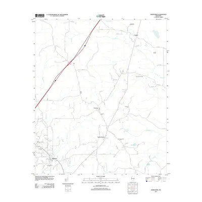 2012 Heidelberg2012 Print · USGSCovers Jasper County, including Heidelberg, Vossburg, and other nearby areas
 - 2012 Map of Lake Como, 2012 Print
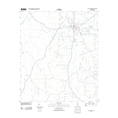
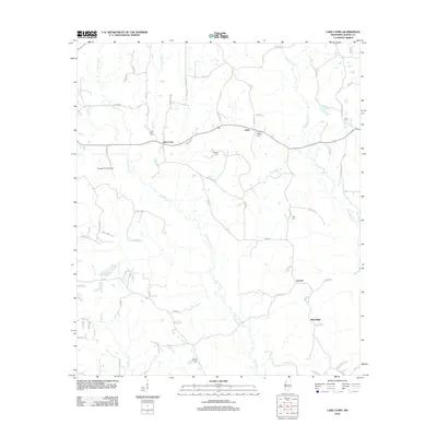 2012 Lake Como2012 Print · USGSCovers Jasper County, including Bay Springs, Acme, and other nearby areas
 - 2012 Map of Waldrup, 2012 Print
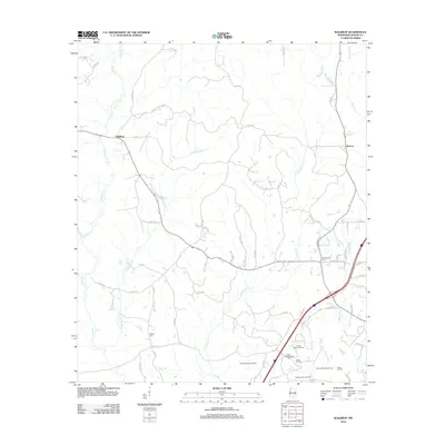 2012 Waldrup2012 Print · USGSCovers Jasper County, including Heidelberg, Kelona, and other nearby areas
 - 2012 Map of Soso, 2012 Print
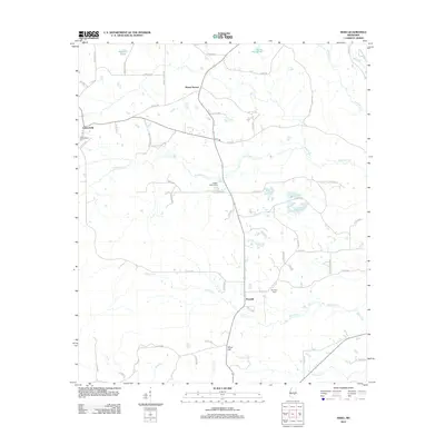
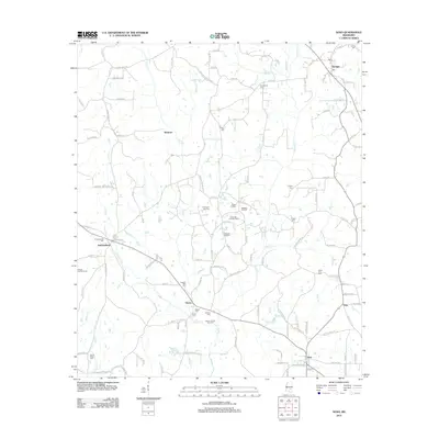 2012 Soso2012 Print · USGSCovers Jasper County, including Soso, Amy, and other nearby areas
 - 2012 Map of Rose Hill, 2012 Print
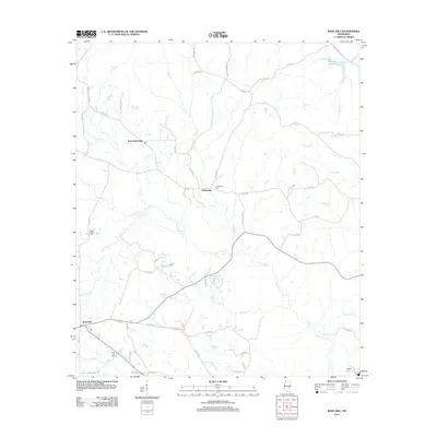 2012 Rose Hill2012 Print · USGSCovers Jasper County, including New Fellowship, Rose Hill, and other nearby areas
 - 2012 Map of Pachuta, 2012 Print
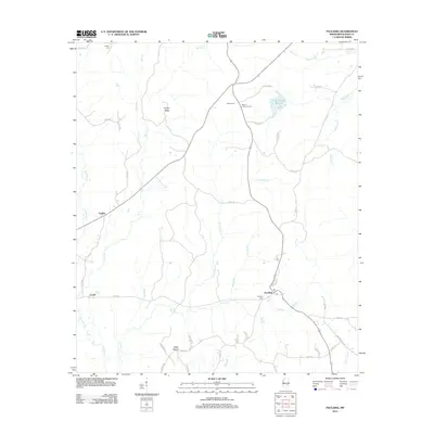
 2012 Pachuta2012 Print · USGSCovers Jasper County, including Pachuta, Orange, and other nearby areas
 - 2012 Map of Hero, 2012 Print
 2012 Hero2012 Print · USGSCovers Jasper County, including Mount Vernon, Garlandville, and other nearby areas
 - 2012 Map of Paulding, 2012 Print
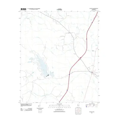
 2012 Paulding2012 Print · USGSCovers Jasper County, including Fouke, Paulding, and other nearby areas
 - 2012 Map of Montrose South, 2012 Print
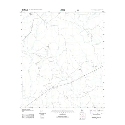 2012 Montrose South2012 Print · USGSCovers Jasper County, including Louin, Montrose, and other nearby areas
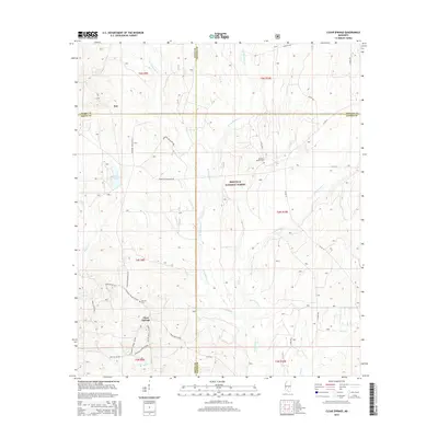
 - 2012 Map of Clear Springs, 2012 Print
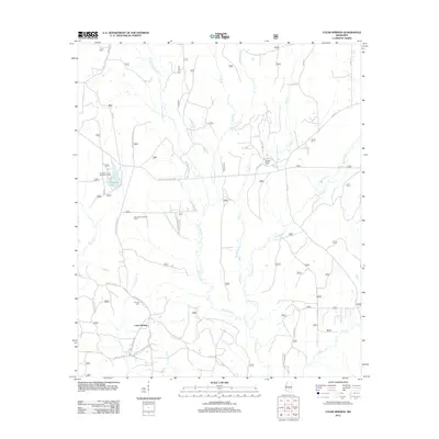 2012 Clear Springs2012 Print · USGSCovers Jasper County, including Sun, Clear Springs, and other nearby areas
 - 2012 Map of Montrose North, 2012 Print
 2012 Montrose North2012 Print · USGSCovers Jasper County, including Montrose, Verba, and other nearby areas
 - 2012 Map of Louin, 2012 Print
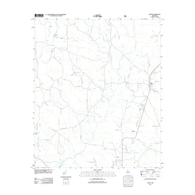 2012 Louin2012 Print · USGSCovers Jasper County, including Bay Springs, Louin, and other nearby areas
 - 2012 Map of Moss, 2012 Print
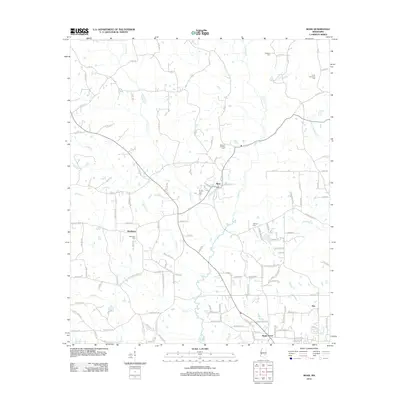 2012 Moss2012 Print · USGSCovers Jasper County, including Hoy, Matthews, and other nearby areas
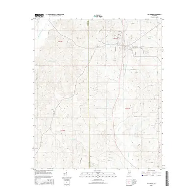
 - 2012 Map of Bay Springs, 2012 Print
 2012 Bay Springs2012 Print · USGSCovers Jasper County, including Bay Springs, Smith County, and other nearby areas
 - 2012 Map of Sandersville, 2012 Print
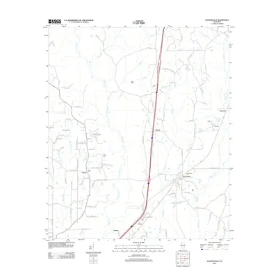 2012 Sandersville2012 Print · USGSCovers Jasper County, including Laurel, Sandersville, and other nearby areas
 - 2015 Map of Heidelberg SW, 2015 Print
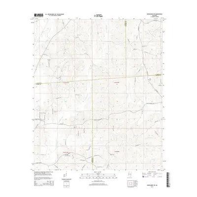 2015 Heidelberg SW2015 Print · USGSCovers Jasper County, including Heidelberg, Jones County, and other nearby areas
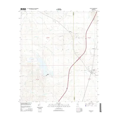
 - 2015 Map of Waldrup, 2015 Print
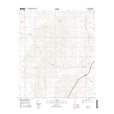 2015 Waldrup2015 Print · USGSCovers Jasper County, including Heidelberg, Kelona, and other nearby areas
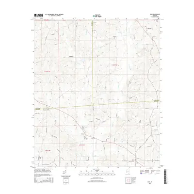
 - 2015 Map of Clear Springs, 2015 Print
 2015 Clear Springs2015 Print · USGSCovers Jasper County, including Sun, Clear Springs, and other nearby areas
 - 2015 Map of Bay Springs, 2015 Print
 2015 Bay Springs2015 Print · USGSCovers Jasper County, including Bay Springs, Smith County, and other nearby areas
 - 2015 Map of Pachuta, 2015 Print
 2015 Pachuta2015 Print · USGSCovers Jasper County, including Pachuta, Orange, and other nearby areas
 - 2015 Map of Soso, 2015 Print
 2015 Soso2015 Print · USGSCovers Jasper County, including Soso, Amy, and other nearby areas
 - 2015 Map of Rose Hill, 2015 Print
 2015 Rose Hill2015 Print · USGSCovers Jasper County, including New Fellowship, Rose Hill, and other nearby areas
Showing maps 1-25 of 82
Top cities of Jasper County
Frequently asked questions
- What are the different types of historical maps available for Jasper County?
- What is the oldest map of Jasper County?
- Where can I purchase historical maps of Jasper County for my home or office?
- Where can I download high-res historical maps of Jasper County?
- Are there historical topographic maps available for Jasper County?
- Is there historical aerial imagery available for Jasper County?
- Where are historical maps of Jasper County sourced from?