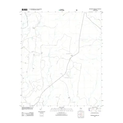
2012 Map of Montrose North
USGS Topo · Published 2012About this map
Tallahoma Cr and its numerous tributaries, including Otak Cr and Thompson Cr, carve a intricate drainage pattern through this Jasper County landscape. The area is defined by small, dispersed rural settlements connected by an extensive network of county roads, such as Co RD 24 and Co RD 25. The community of Baxter serves as a central point, distinguished by the Baxter Lookout Tower, which overlooks the surrounding timberlands and creek bottoms.
Find a feature on this map
41 named features on this map. Tap any name to fly to it.
Don’t see what you’re looking for? This feature index may not catch every label — zoom into the map to look around manually.
Map Details
Editions of this 2012 Montrose North Map
This is the sole edition of this map. No revisions or reprints were ever made.
Other maps of this area

1921 · Forest
USGS Topo · 1:48,000

1922 · Forest
USGS Topo · 1:62,500

1950 · Forest
USGS Topo · 1:62,500

1952 · Forest
USGS Topo · 1:62,500

1953 · Meridian
USGS Topo · 1:250,000

1957 · Meridian
USGS Topo · 1:250,000

1965 · Meridian
USGS Topo · 1:250,000

1966 · Hickory
USGS Topo · 1:24,000

1966 · Newton
USGS Topo · 1:24,000

1968 · Clear Springs
USGS Topo · 1:24,000