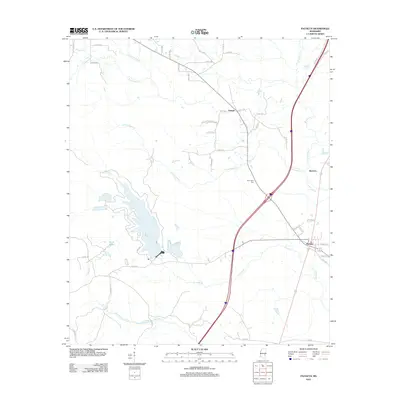
2012 Map of Pachuta
USGS Topo · Published 2012About this map
Pachuta stands at the center of this Clarke County landscape, where the local road network converges near the banks of Pachuta Cr. The area is defined by a dense web of watercourses, including the winding Chicwillasaw Cr and Shubuta Cr, which carve through the terrain alongside smaller settlements like Orange and Beatrice. To the west, the Phalti Lakes provide a significant hydrographic landmark, while Herrington Cem offers a point of interest for genealogists tracing local family histories. The 2012 geography shows a mix of established residential streets, such as Pine St and School St in the town center, and an extensive system of numbered county roads that link the surrounding timberlands and rural homesteads. This modern survey reflects the enduring spatial layout of eastern Mississippi, where drainage patterns like Souenlouie Cr have long influenced the placement of homes and transit routes.
Find a feature on this map
50 named features on this map. Tap any name to fly to it.
Don’t see what you’re looking for? This feature index may not catch every label — zoom into the map to look around manually.
Map Details
Editions of this 2012 Pachuta Map
This is the sole edition of this map. No revisions or reprints were ever made.
Other maps of this area

1953 · Hattiesburg
USGS Topo · 1:250,000

1953 · Meridian
USGS Topo · 1:250,000

1957 · Meridian
USGS Topo · 1:250,000

1957 · Enterprise
USGS Topo · 1:62,500

1958 · Hattiesburg
USGS Topo · 1:250,000

1963 · Waldrup
USGS Topo · 1:24,000

1963 · Heidelberg
USGS Topo · 1:24,000

1964 · Hale
USGS Topo · 1:24,000

1965 · Meridian
USGS Topo · 1:250,000

1970 · Paulding
USGS Topo · 1:24,000