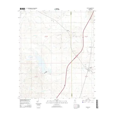
2015 Map of Pachuta
USGS Topo · Published 2015About this map
Pachuta serves as a central hub in this section of Clarke County, where the street grid is detailed along W Main St and E Chestnut St. The landscape is defined by an intricate network of waterways, including Chicwillasaw Cr, Twistwood Cr, and Pachuta Cr, which carve through the terrain as it transitions across the Jasper County and Clarke County line. Small settlements such as Beatrice and Orange mark the northern reaches of the area, providing evidence of the rural communities that have long inhabited these timberlands. For those tracing local history, Herrington Cem stands as a notable landmark. The presence of Phalti Lakes further south suggests a varied hydrology, while numerous county roads like Co Road 315 and CR-184 reveal the established transport routes connecting these remote Mississippi townships.
Find a feature on this map
55 named features on this map. Tap any name to fly to it.
Don’t see what you’re looking for? This feature index may not catch every label — zoom into the map to look around manually.
Map Details
Editions of this 2015 Pachuta Map
This is the sole edition of this map. No revisions or reprints were ever made.
Other maps of this area

1953 · Hattiesburg
USGS Topo · 1:250,000

1953 · Meridian
USGS Topo · 1:250,000

1957 · Meridian
USGS Topo · 1:250,000

1957 · Enterprise
USGS Topo · 1:62,500

1958 · Hattiesburg
USGS Topo · 1:250,000

1963 · Waldrup
USGS Topo · 1:24,000

1963 · Heidelberg
USGS Topo · 1:24,000

1964 · Hale
USGS Topo · 1:24,000

1965 · Meridian
USGS Topo · 1:250,000

1970 · Paulding
USGS Topo · 1:24,000