2000s (21st Century) Maps of Leflore County, Mississippi
Explore 100 historic maps of Leflore County from the 2000s (21st Century). These maps offer a rare glimpse into what life looked like during the 2000s — showing old roads, neighborhoods, homes, and landmarks that have changed or disappeared over time.
Whether you're researching your family's past, planning a metal detecting trip, or studying how Leflore County's landscape evolved across the 2000s, these high-resolution maps are a powerful tool for exploring the history of this region.
- Focus on a specific era: All maps on this page are from the 2000s, giving you a focused view of this time period.
- See what’s changed: Compare century-old streets, trails, and buildings to today's modern landscape using overlays and satellite layers.
- Research with precision: Use these maps for genealogy, historical research, land use analysis, or educational projects.
- View, download, or print: Maps are fully viewable online in high resolution, and can be downloaded or printed for your own records.
Start exploring Leflore County's history through authentic maps from the 2000s. This is your window into the past.
Leflore County, MS maps
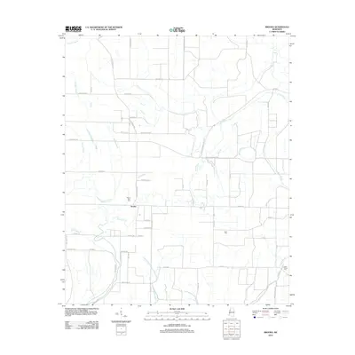
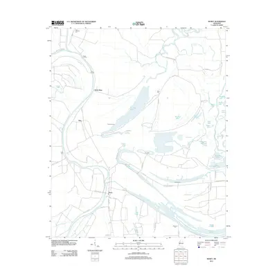
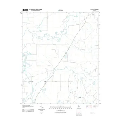
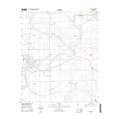
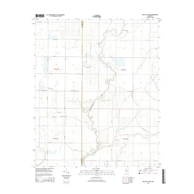
(100)- 2012 Map of Cruger, 2012 Print
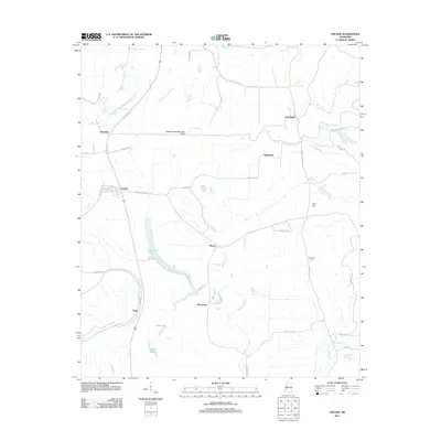 2012 Cruger2012 Print · USGSCovers Leflore County, including Cruger, Dulweber, and other nearby areas
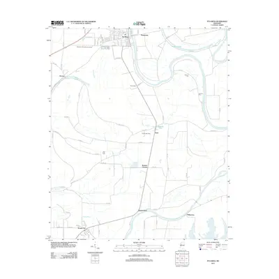
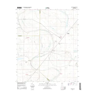
 - 2012 Map of Swiftown, 2012 Print
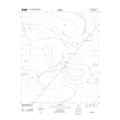 2012 Swiftown2012 Print · USGSCovers Leflore County, including Swiftown, Peteet, and other nearby areas
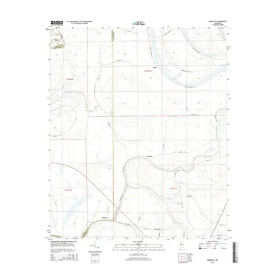
 - 2012 Map of Marcella, 2012 Print
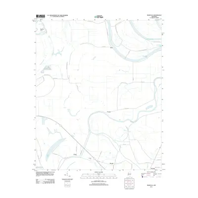 2012 Marcella2012 Print · USGSCovers Leflore County, including Marcella, Refuge, and other nearby areas
 - 2012 Map of Schlater, 2012 Print
 2012 Schlater2012 Print · USGSCovers Leflore County, including Schlater, Highlandale, and other nearby areas
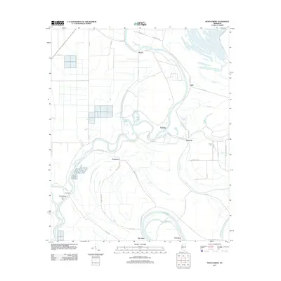
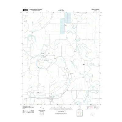
 - 2012 Map of Colony Town, 2012 Print
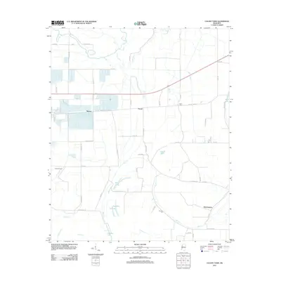 2012 Colony Town2012 Print · USGSCovers Leflore County, including Moorhead, Purnell, and other nearby areas
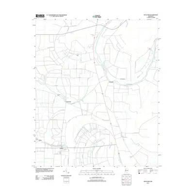
 - 2012 Map of Bear Gut Bayou, 2012 Print
 2012 Bear Gut Bayou2012 Print · USGSCovers Leflore County, including Sunflower County, United States, and other nearby areas
 - 2012 Map of Sidon, 2012 Print
 2012 Sidon2012 Print · USGSCovers Leflore County, including Greenwood, Sidon, and other nearby areas
 - 2012 Map of Belzoni, 2012 Print
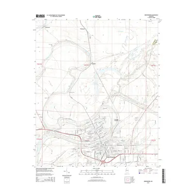
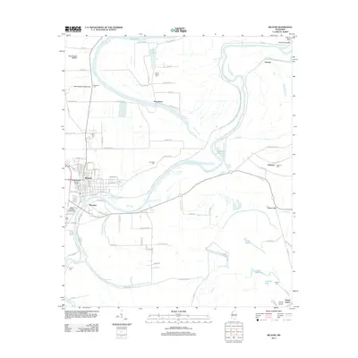 2012 Belzoni2012 Print · USGSCovers Leflore County, including Belzoni, Famosla, and other nearby areas
 - 2012 Map of Brooks, 2012 Print
 2012 Brooks2012 Print · USGSCovers Leflore County, including Brooks, Sunflower County, and other nearby areas
 - 2012 Map of Montgomery, 2012 Print
 2012 Montgomery2012 Print · USGSCovers Leflore County, including Morgan City, Montgomery, and other nearby areas
 - 2012 Map of Rattlesnake Bayou, 2012 Print
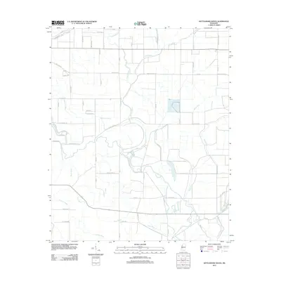 2012 Rattlesnake Bayou2012 Print · USGSCovers Leflore County, including Sunflower County, United States, and other nearby areas
 - 2012 Map of Gravel Hill, 2012 Print
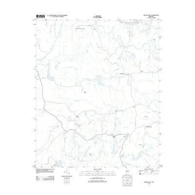 2012 Gravel Hill2012 Print · USGSCovers Leflore County, including Centerville, Gravel Hill, and other nearby areas
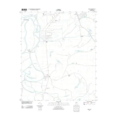
 - 2012 Map of Money, 2012 Print
 2012 Money2012 Print · USGSCovers Leflore County, including Money, Ruby, and other nearby areas
 - 2012 Map of Browning, 2012 Print
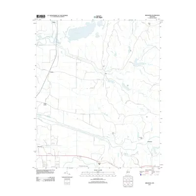 2012 Browning2012 Print · USGSCovers Leflore County, including Crenfree, Whaley, and other nearby areas
 - 2012 Map of Shellmound, 2012 Print
 2012 Shellmound2012 Print · USGSCovers Leflore County, including Greenwood, Itta Bena, and other nearby areas
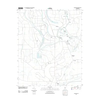
 - 2012 Map of Greenwood, 2012 Print
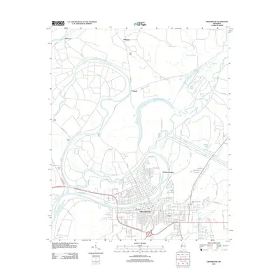 2012 Greenwood2012 Print · USGSCovers Leflore County, including Greenwood, Craigside, and other nearby areas
 - 2012 Map of Avalon, 2012 Print
 2012 Avalon2012 Print · USGSCovers Leflore County, including Avalon, Parsons, and other nearby areas
 - 2012 Map of Itta Bena, 2012 Print
 2012 Itta Bena2012 Print · USGSCovers Leflore County, including Itta Bena, Morgan City, and other nearby areas
 - 2012 Map of Philipp, 2012 Print
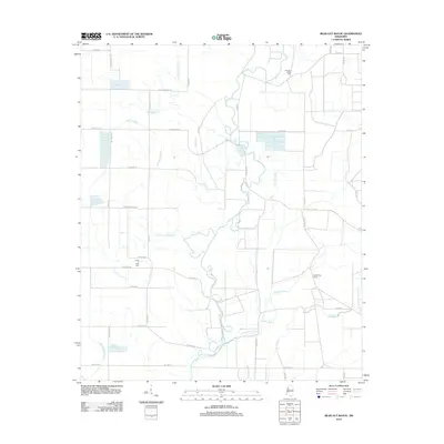
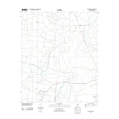
 2012 Philipp2012 Print · USGSCovers Leflore County, including Mehr, Sisloff Junction, and other nearby areas
 - 2012 Map of Glendora, 2012 Print
 2012 Glendora2012 Print · USGSCovers Leflore County, including Glendora, Black Bayou Junction, and other nearby areas
 - 2015 Map of Belzoni, 2015 Print
 2015 Belzoni2015 Print · USGSCovers Leflore County, including Belzoni, Famosla, and other nearby areas
 - 2015 Map of Marcella, 2015 Print
 2015 Marcella2015 Print · USGSCovers Leflore County, including Marcella, Refuge, and other nearby areas
 - 2015 Map of Greenwood, 2015 Print
 2015 Greenwood2015 Print · USGSCovers Leflore County, including Greenwood, Craigside, and other nearby areas
 - 2015 Map of Swiftown, 2015 Print
 2015 Swiftown2015 Print · USGSCovers Leflore County, including Swiftown, Peteet, and other nearby areas
 - 2015 Map of Bear Gut Bayou, 2015 Print
 2015 Bear Gut Bayou2015 Print · USGSCovers Leflore County, including Sunflower County, United States, and other nearby areas
Showing maps 1-25 of 100
Top cities of Leflore County
- Greenwood historical maps
- Itta Bena historical maps
- Sidon historical maps
- Schlater historical maps
- Morgan City historical maps
Frequently asked questions
- What are the different types of historical maps available for Leflore County?
- What is the oldest map of Leflore County?
- Where can I purchase historical maps of Leflore County for my home or office?
- Where can I download high-res historical maps of Leflore County?
- Are there historical topographic maps available for Leflore County?
- Is there historical aerial imagery available for Leflore County?
- Where are historical maps of Leflore County sourced from?