2010s Maps of Leflore County, Mississippi
Explore 60 historic maps of Leflore County from the 2010s. These maps offer a rare glimpse into what life looked like during the 2010s — showing old roads, neighborhoods, homes, and landmarks that have changed or disappeared over time.
Whether you're researching your family's past, planning a metal detecting trip, or studying how Leflore County's landscape evolved across the 2010s, these high-resolution maps are a powerful tool for exploring the history of this region.
- Focus on a specific era: All maps on this page are from the 2010s, giving you a focused view of this time period.
- See what’s changed: Compare century-old streets, trails, and buildings to today's modern landscape using overlays and satellite layers.
- Research with precision: Use these maps for genealogy, historical research, land use analysis, or educational projects.
- View, download, or print: Maps are fully viewable online in high resolution, and can be downloaded or printed for your own records.
Start exploring Leflore County's history through authentic maps from the 2010s. This is your window into the past.
Leflore County, MS maps
(60)- 2012 Map of Cruger, 2012 Print
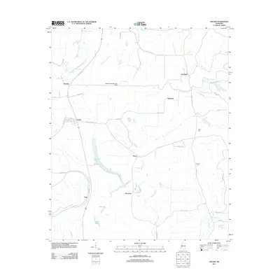 2012 Cruger2012 Print · USGSThe Mississippi Delta's intricate landscape of oxbow lakes and bayous is captured here in the early twenty-first century. Genealogists and local historians can trace family ties at Valley View Cem or explore the rural surroundings of Cruger, Oklahoma, and Dulweber.
 - 2012 Map of Swiftown, 2012 Print
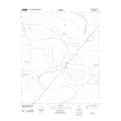 2012 Swiftown2012 Print · USGSLeflore County in the early twenty-first century reveals a landscape shaped by the waters of the Delta. Local historians can trace family ties at Hickory Ridge Cem, follow the Eggleston Spur rail line, or locate older sites near Swiftown and Jaketown.
 - 2012 Map of Marcella, 2012 Print
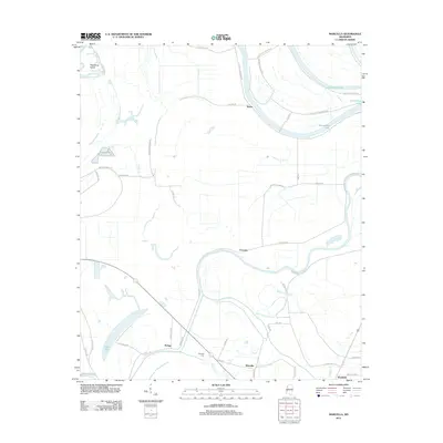 2012 Marcella2012 Print · USGSMississippi's Yazoo Basin is revealed in the early twenty-first century, showcasing a landscape of oxbow lakes and rural hamlets. Local historians can trace family land and old roads near Marcella, Choctaw, and the Marcella Cem along the winding Tchula Lake.
 - 2012 Map of Schlater, 2012 Print
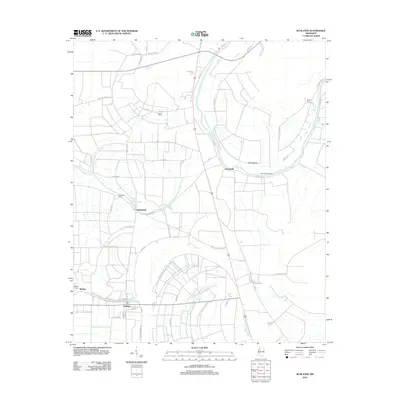 2012 Schlater2012 Print · USGSLeflore County farmland and Delta settlements are captured here in the early twenty-first century. Researchers can trace family history through local landmarks like McNutt Cem, Sunnyside, and the river landing at Eutaw Bend.
 - 2012 Map of Colony Town, 2012 Print
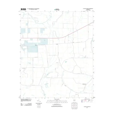 2012 Colony Town2012 Print · USGSThe Mississippi Delta's agricultural heartland is documented here in the early twenty-first century, showing a landscape of scattered settlements and winding bayous. Genealogists and historians can locate Colony Town, Old Dominion, and the Robinson Cem among the cotton fields and waterways.
 - 2012 Map of Bear Gut Bayou, 2012 Print
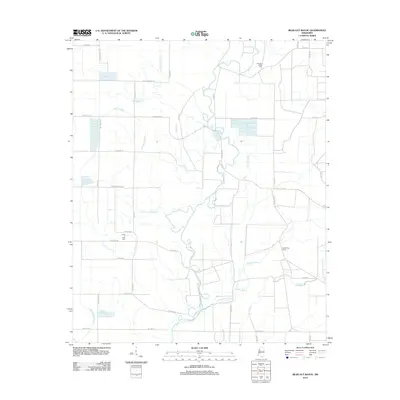 2012 Bear Gut Bayou2012 Print · USGSLeflore County in the early twenty-first century reveals a Delta landscape defined by winding bayous and modern aquaculture. Researchers can locate family landmarks like Rock of Ages Cem and Pleasant Valley Cem or trace the path of the Quiver River.
 - 2012 Map of Sidon, 2012 Print
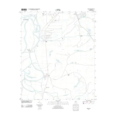 2012 Sidon2012 Print · USGSThe Mississippi Delta's river-driven geography is on full display here during the early 2010s. Genealogists and local historians can trace family sites at Mount Pisgah Cem and Dell Cem, or locate historic landings like Fort Loring Landing.
 - 2012 Map of Belzoni, 2012 Print
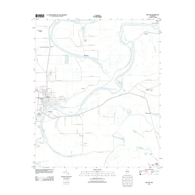 2012 Belzoni2012 Print · USGSThe Mississippi Delta's intricate river network is on full display in the early twenty-first century as the Yazoo River meanders past Belzoni. Genealogists and local historians can trace family ties at Woodland Cem or Mount Zion Cem while exploring the unique geography of Honey Island.
 - 2012 Map of Brooks, 2012 Print
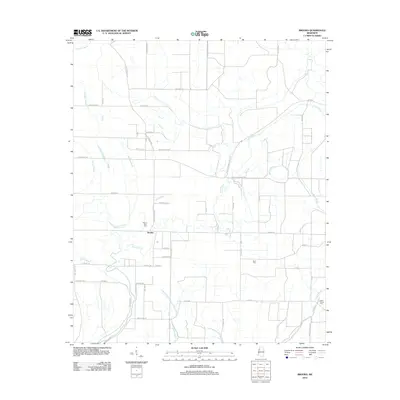 2012 Brooks2012 Print · USGSThe rural Sunflower County landscape comes into focus in this early twenty-first-century survey of the Delta. Genealogists and researchers can trace local family landmarks and burial sites at Mount Olive Cem, Scott Cem, and along the banks of Quiver River.
 - 2012 Map of Montgomery, 2012 Print
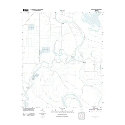 2012 Montgomery2012 Print · USGSThe Mississippi Delta's winding waterways and agricultural landscape come into focus in the early twenty-first century. Researchers can trace rural settlement patterns and local history through landmarks like Lennard Cem, Montgomery, and the Yazoo River.
 - 2012 Map of Rattlesnake Bayou, 2012 Print
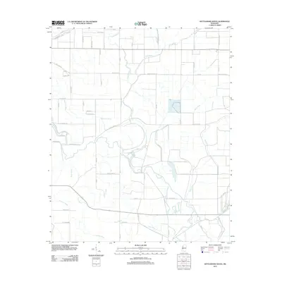 2012 Rattlesnake Bayou2012 Print · USGSMississippi Delta life is centered on the winding waters of the Quiver River in this 2012 study of Leflore County. Researchers can trace family history through local landmarks like Livingston and the rural road network including Cementary Rd.
 - 2012 Map of Gravel Hill, 2012 Print
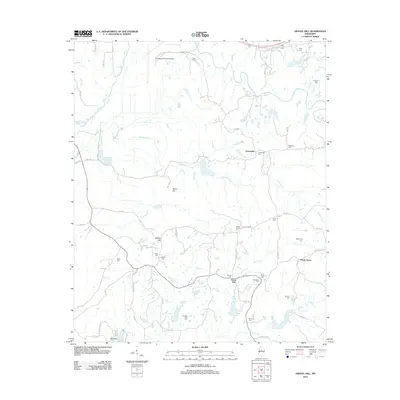 2012 Gravel Hill2012 Print · USGSCenterville and the surrounding Mississippi hill country are captured here in the early twenty-first century, showing a landscape deeply rooted in its local history. Genealogists can trace family connections through over a dozen rural burial sites, including McMillian Cem, Wells Cem, and Sharkey Pate Cem.
 - 2012 Map of Money, 2012 Print
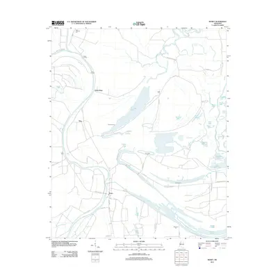 2012 Money2012 Print · USGSThe Mississippi Delta landscape near the confluence of the Tallahatchie and Yalobusha Rivers is shown here in the early 2010s. Researchers can locate several rural burial grounds like Eastmoney Cemetery and trace river landings such as Beulah Landing and Powell Landing.
 - 2012 Map of Browning, 2012 Print
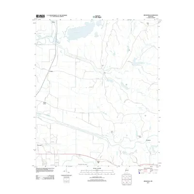 2012 Browning2012 Print · USGSLeflore County in the early 2010s remains a landscape of delta bayous and historic family settlements. Genealogists and local historians can trace legacy sites like the Greenwood LeFlore Cem, the community of Malmaison, and rural crossroads at Bright Corner.
 - 2012 Map of Shellmound, 2012 Print
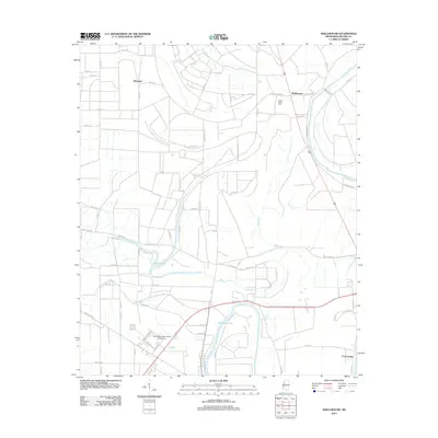 2012 Shellmound2012 Print · USGSLeflore County at the start of the 2010s reveals a delta landscape defined by the winding Tallahatchie River and fertile plains. Genealogists and historians can trace the footprint of Mississippi Valley State University and local landmarks like Saint Pauls Cem.
 - 2012 Map of Greenwood, 2012 Print
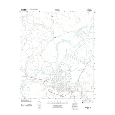 2012 Greenwood2012 Print · USGSGreenwood and the surrounding Delta landscape are shown here in the early twenty-first century at the confluence of three major rivers. Researchers can locate numerous local burial sites like Little Zion Cem and Old Greenwood Cem, or trace the grounds of the Leflore County Penal Farm.
 - 2012 Map of Avalon, 2012 Print
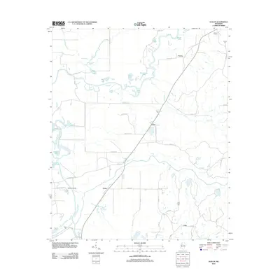 2012 Avalon2012 Print · USGSThe wetlands of the Yalobusha River basin are documented here in the early twenty-first century. Genealogists and local researchers can trace family landmarks like Shiloh Cem and Duncan Cem or explore the settlements of Avalon and Leflore.
 - 2012 Map of Itta Bena, 2012 Print
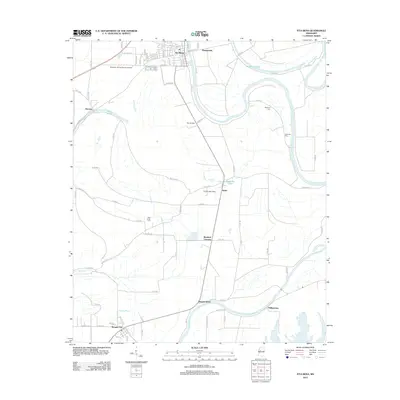 2012 Itta Bena2012 Print · USGSThe Mississippi Delta's agricultural heartland is documented here in the early twenty-first century, showing the enduring influence of the Yazoo River on local settlement. Researchers can trace the layout of Itta Bena or locate rural landmarks like McIntyre Cem and the settlement of Quito.
 - 2012 Map of Philipp, 2012 Print
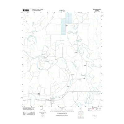 2012 Philipp2012 Print · USGSThe Tallahatchie River floodplain comes into sharp focus during the early twenty-first century, showing a landscape defined by water and delta history. Researchers can trace local heritage through numerous river landings like Blythes Landing and family landmarks such as Bethel Cem or Jones Chapel Cem.
 - 2012 Map of Glendora, 2012 Print
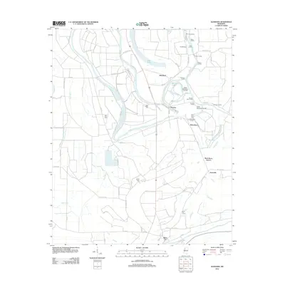 2012 Glendora2012 Print · USGSThe Mississippi Delta's riverine landscape is captured here during the early twenty-first century, centered on the historic town of Glendora. Genealogists and historians can locate numerous rural burial grounds and old river landings like Saint Clare Cem and Graball Landing.
 - 2015 Map of Belzoni, 2015 Print
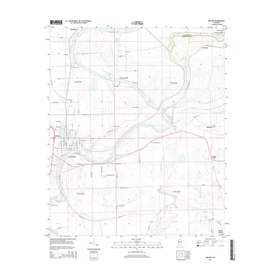 2015 Belzoni2015 Print · USGSBelzoni and the surrounding Humphreys County landscape are captured here in the mid-2010s, showing the intricate relationship between the Yazoo River and the Delta's agricultural settlements. Researchers can locate numerous family burial sites such as Mount Zion Cem and Woodland Cem, alongside old communities like Mathena and Famosla.
 - 2015 Map of Marcella, 2015 Print
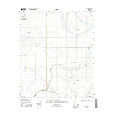 2015 Marcella2015 Print · USGSThe Mississippi Delta bottomlands of Holmes and Humphreys counties are captured here in the mid-2010s. Researchers can trace the rural communities of Marcella and Choctaw or locate family sites near Marcella Cem and along Tchula Lake.
 - 2015 Map of Greenwood, 2015 Print
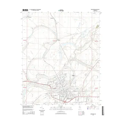 2015 Greenwood2015 Print · USGSThe Delta landscape around the Yazoo River confluence is captured here in the mid-2010s, showing the city's growth alongside its river heritage. Genealogists can locate several burial grounds like Old Greenwood Cem, Little Zion Cem, and Loggins Cem.
 - 2015 Map of Swiftown, 2015 Print
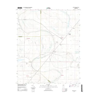 2015 Swiftown2015 Print · USGSThe Yazoo-Mississippi Delta's water-bound landscape is captured here in the mid-2010s at the meeting point of three counties. Researchers can trace rural cemeteries and small communities like Swiftown, Peteet, and Nichols tucked between Bee Lake and Wasp Lake.
 - 2015 Map of Bear Gut Bayou, 2015 Print
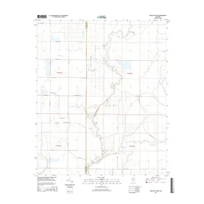 2015 Bear Gut Bayou2015 Print · USGSLeflore County in the mid-2010s reveals a deep-rooted agricultural landscape defined by its Delta bayous and rivers. Researchers can trace family history through sites like Pleasant Valley Cem and navigate the winding paths of Howling Wolf Bayou or The Elbow.
Showing maps 1-25 of 60
Top cities of Leflore County
- Greenwood historical maps
- Itta Bena historical maps
- Sidon historical maps
- Schlater historical maps
- Morgan City historical maps
Frequently asked questions
- What are the different types of historical maps available for Leflore County?
- What is the oldest map of Leflore County?
- Where can I purchase historical maps of Leflore County for my home or office?
- Where can I download high-res historical maps of Leflore County?
- Are there historical topographic maps available for Leflore County?
- Is there historical aerial imagery available for Leflore County?
- Where are historical maps of Leflore County sourced from?