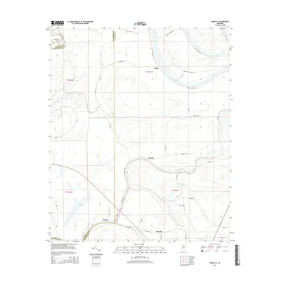
2015 Map of Marcella
USGS Topo · Published 2015About this map
Tchula Lake and the serpentine course of Old Fannegusha Cr define the landscape of this Delta region, where the border of Holmes and Humphreys counties follows the natural erraticism of the waterways. The settlement of Marcella serves as a focal point near the southern edge of the map, adjacent to the Marcella Cem. This area is characterized by its agricultural heritage and distinct drainage patterns, with roads like Horseshoe Plantation Rd and Silent Shade Rd hinting at the historical land use and local geography. Further north, the oxbow formations of Horseshoe Lake and the isolated Palmatree Island illustrate the river's historical shifting paths. Small communities such as Choctaw, Butler, and Refuge are scattered throughout, connected by a network of rural roads that trace the rises and falls of the alluvial plain.
Find a feature on this map
46 named features on this map. Tap any name to fly to it.
Don’t see what you’re looking for? This feature index may not catch every label — zoom into the map to look around manually.
Map Details
Editions of this 2015 Marcella Map
This is the sole edition of this map. No revisions or reprints were ever made.
Other maps of this area

1940 · Seven Pines
USGS Topo · 1:62,500

1940 · Lexington
USGS Topo · 1:62,500

1940 · Mileston
USGS Topo · 1:62,500

1953 · Greenwood
USGS Topo · 1:250,000

1954 · Mileston
USGS Topo · 1:62,500

1956 · Greenwood
USGS Topo · 1:250,000

1957 · Lexington
USGS Topo · 1:62,500

1957 · Seven Pines
USGS Topo · 1:62,500

1958 · Seven Pines
USGS Topo · 1:62,500

1958 · Lexington
USGS Topo · 1:62,500