2020s Maps of Scott County, Mississippi
Explore 38 historic maps of Scott County from the 2020s. These maps offer a rare glimpse into what life looked like during the 2020s — showing old roads, neighborhoods, homes, and landmarks that have changed or disappeared over time.
Whether you're researching your family's past, planning a metal detecting trip, or studying how Scott County's landscape evolved across the 2020s, these high-resolution maps are a powerful tool for exploring the history of this region.
- Focus on a specific era: All maps on this page are from the 2020s, giving you a focused view of this time period.
- See what’s changed: Compare century-old streets, trails, and buildings to today's modern landscape using overlays and satellite layers.
- Research with precision: Use these maps for genealogy, historical research, land use analysis, or educational projects.
- View, download, or print: Maps are fully viewable online in high resolution, and can be downloaded or printed for your own records.
Start exploring Scott County's history through authentic maps from the 2020s. This is your window into the past.
Scott County, MS maps
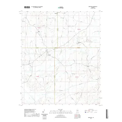
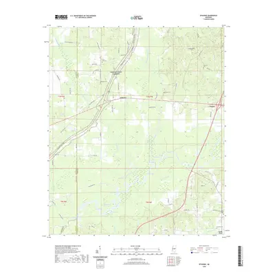
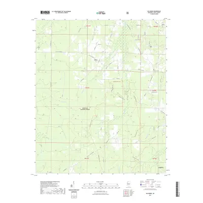
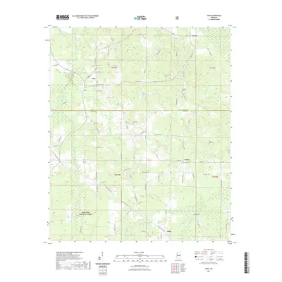
(38)- 2020 Map of Conehatta, 2020 Print
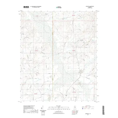 2020 Conehatta2020 Print · USGSCovers Scott County, including Piketown, Hazel, and other nearby areas
 - 2020 Map of Walnut Grove, 2020 Print
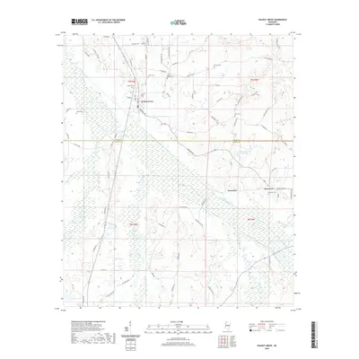 2020 Walnut Grove2020 Print · USGSCovers Scott County, including Walnut Grove, Damascus, and other nearby areas
 - 2020 Map of Sharon SE, 2020 Print
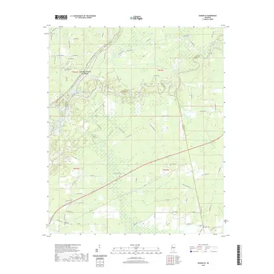 2020 Sharon SE2020 Print · USGSCovers Scott County, including Eureka, Ratliff, and other nearby areas
 - 2020 Map of Sebastopol, 2020 Print
 2020 Sebastopol2020 Print · USGSCovers Scott County, including Kitchener, High Hill, and other nearby areas
 - 2020 Map of Ofahoma, 2020 Print
 2020 Ofahoma2020 Print · USGSCovers Scott County, including Forest Grove, Good Hope, and other nearby areas
 - 2020 Map of Leesburg, 2020 Print
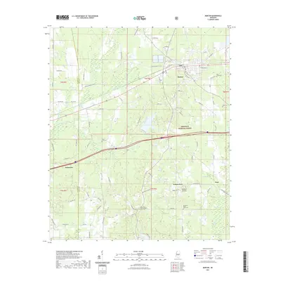
 2020 Leesburg2020 Print · USGSCovers Scott County, including Bilbros Corner, West Leesburg, and other nearby areas
 - 2021 Map of Homewood, 2021 Print
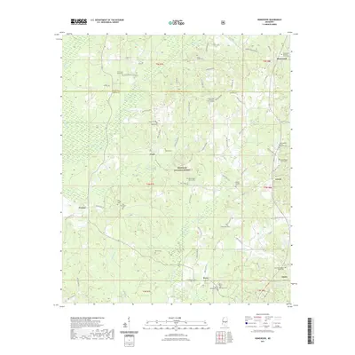 2021 Homewood2021 Print · USGSCovers Scott County, including Homewood, Burns, and other nearby areas
 - 2021 Map of Ludlow, 2021 Print
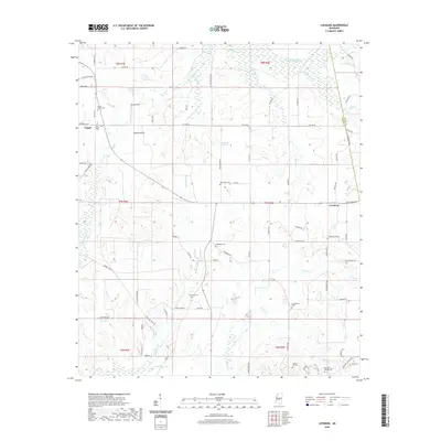
 2021 Ludlow2021 Print · USGSCovers Scott County, including Bertice, Ludlow, and other nearby areas
 - 2021 Map of Hillsboro, 2021 Print
 2021 Hillsboro2021 Print · USGSCovers Scott County, including Forest, Clifton, and other nearby areas
 - 2021 Map of Forkville, 2021 Print
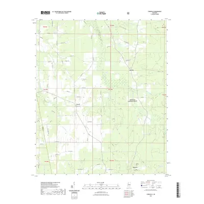 2021 Forkville2021 Print · USGSCovers Scott County, including Morton, Forkville, and other nearby areas
 - 2021 Map of Clear Springs, 2021 Print
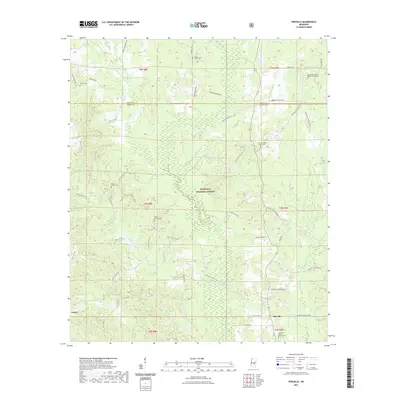
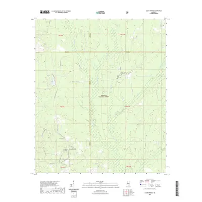 2021 Clear Springs2021 Print · USGSCovers Scott County, including Sun, Clear Springs, and other nearby areas
 - 2021 Map of Forest, 2021 Print
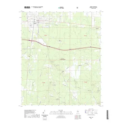 2021 Forest2021 Print · USGSCovers Scott County, including Forest, Norris, and other nearby areas
 - 2021 Map of Lena, 2021 Print
 2021 Lena2021 Print · USGSCovers Scott County, including Lena, Cash, and other nearby areas
 - 2021 Map of Morton, 2021 Print
 2021 Morton2021 Print · USGSCovers Scott County, including Morton, Pelahatchie, and other nearby areas
 - 2021 Map of Polkville, 2021 Print
 2021 Polkville2021 Print · USGSCovers Scott County, including Polkville, Cooperville, and other nearby areas
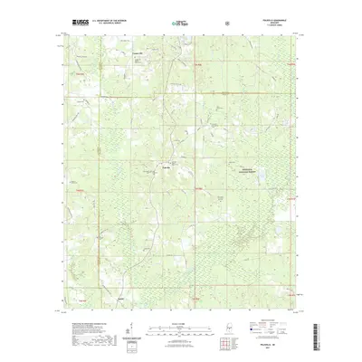
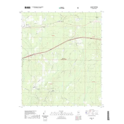
 - 2021 Map of Pineville, 2021 Print
 2021 Pineville2021 Print · USGSCovers Scott County, including Otho, Pineville, and other nearby areas
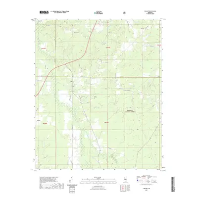
 - 2021 Map of Lake, 2021 Print
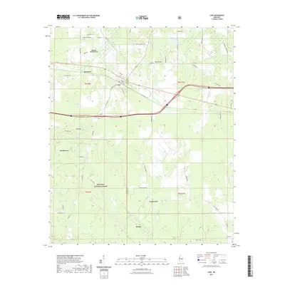 2021 Lake2021 Print · USGSCovers Scott County, including Buckleytown, Bartlett, and other nearby areas
 - 2021 Map of Harperville, 2021 Print
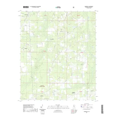 2021 Harperville2021 Print · USGSCovers Scott County, including Forest, East Hillsboro, and other nearby areas
 - 2021 Map of Pulaski, 2021 Print
 2021 Pulaski2021 Print · USGSCovers Scott County, including Forest, Morton, and other nearby areas
 - 2024 Map of Forkville, 2024 Print
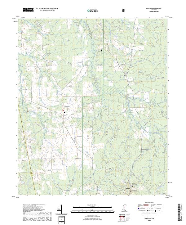 2024 Forkville2024 Print · USGSCentral Mississippi woodlands meet the northern reaches of the Bienville National Forest in this recent survey. Local researchers can trace family landmarks and rural communities from Forkville and Branch down to the Latham Cem.
 - 2024 Map of Sebastopol, 2024 Print
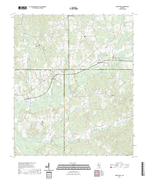 2024 Sebastopol2024 Print · USGSSpanning the meeting point of four Mississippi counties, this modern survey documents the rural communities and watersheds of the central interior. Trace local family roots at High Hill Baptist Church Cem or the settlements of Kitchener and Sebastopol.
 - 2024 Map of Lake, 2024 Print
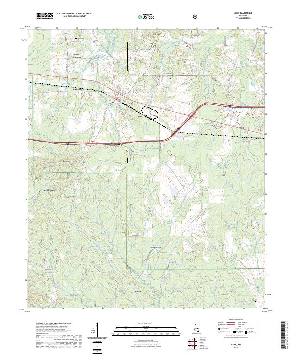 2024 Lake2024 Print · USGSCentral Mississippi's timber and forest lands come into focus in this recent survey of the Newton and Scott County line. Genealogists and local historians can locate family landmarks such as Dennis Settlement, Buckleytown, and the Dennis Cem.
 - 2024 Map of Conehatta, 2024 Print
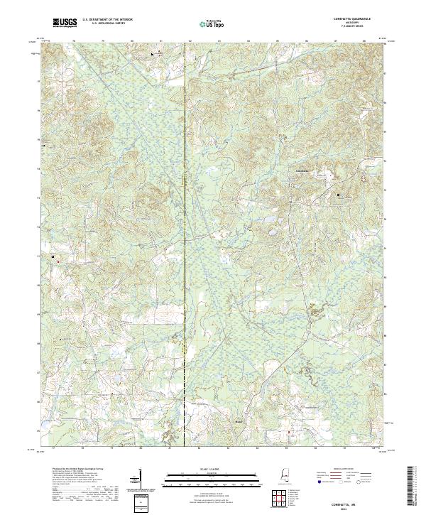 2024 Conehatta2024 Print · USGSConehatta and the Scott-Newton county line are shown here in modern detail, where the headwaters of Tuscolameta Creek meet historical timber lands. Local researchers can trace family burial grounds like Amis Cem and Lay Cem alongside old thoroughfares like Old Jackson Rd.
 - 2024 Map of Pulaski, 2024 Print
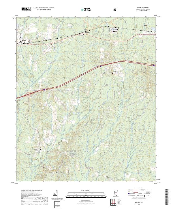 2024 Pulaski2024 Print · USGSScott County’s forest lands and rural settlements are documented here in the contemporary era. Researchers can trace family history through numerous remote burial sites like Brassel Cem, Faulkner Cem, and the Mount Mariah Missionary Baptist Church Cem.
 - 2024 Map of Clear Springs, 2024 Print
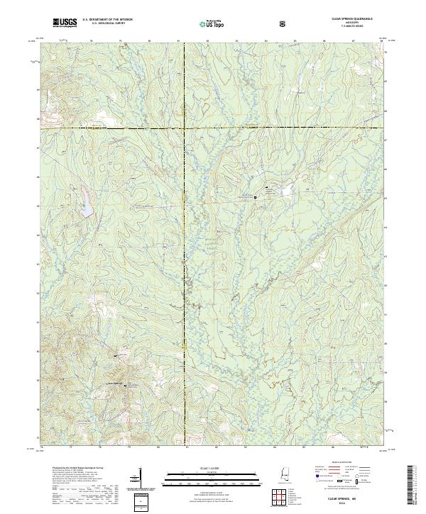 2024 Clear Springs2024 Print · USGSThe Jasper and Smith County line in the 2020s remains a landscape of managed timber and quiet rural life within the Bienville National Forest. Genealogists can trace local roots through the Clear Springs Baptist Church Cem, Decedar Baptist Church Cem, and the secluded Burnett Cem.
Showing maps 1-25 of 38
Top cities of Scott County
Frequently asked questions
- What are the different types of historical maps available for Scott County?
- What is the oldest map of Scott County?
- Where can I purchase historical maps of Scott County for my home or office?
- Where can I download high-res historical maps of Scott County?
- Are there historical topographic maps available for Scott County?
- Is there historical aerial imagery available for Scott County?
- Where are historical maps of Scott County sourced from?