2010s Maps of Scott County, Mississippi
Explore 57 historic maps of Scott County from the 2010s. These maps offer a rare glimpse into what life looked like during the 2010s — showing old roads, neighborhoods, homes, and landmarks that have changed or disappeared over time.
Whether you're researching your family's past, planning a metal detecting trip, or studying how Scott County's landscape evolved across the 2010s, these high-resolution maps are a powerful tool for exploring the history of this region.
- Focus on a specific era: All maps on this page are from the 2010s, giving you a focused view of this time period.
- See what’s changed: Compare century-old streets, trails, and buildings to today's modern landscape using overlays and satellite layers.
- Research with precision: Use these maps for genealogy, historical research, land use analysis, or educational projects.
- View, download, or print: Maps are fully viewable online in high resolution, and can be downloaded or printed for your own records.
Start exploring Scott County's history through authentic maps from the 2010s. This is your window into the past.
Scott County, MS maps
(57)- 2012 Map of Leesburg, 2012 Print
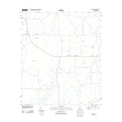 2012 Leesburg2012 Print · USGSRankin County in the early twenty-first century remains a landscape of open prairies and scattered crossroads settlements. Genealogists and local researchers can trace family landmarks like the Hollybush Cem, Neal Cem, and the old Choctaw Trl.
 - 2012 Map of Polkville, 2012 Print
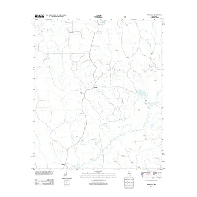 2012 Polkville2012 Print · USGSSmith County is shown during a period of established rural settlement and agriculture in the early twenty-first century. Genealogists and local historians can locate family-named landmarks like Haile Cem and Cooperville or trace the winding course of the Strong River.
 - 2012 Map of Ludlow, 2012 Print
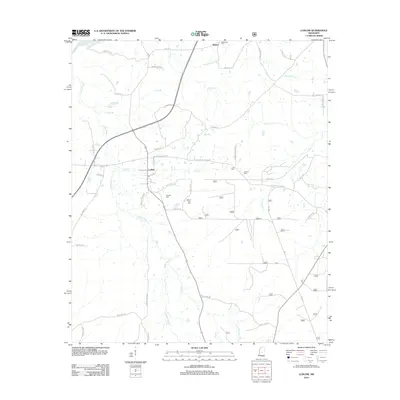 2012 Ludlow2012 Print · USGSLeake County is documented here in the early twenty-first century, showing the rural landscapes around the Pearl River. Genealogists can trace family footprints at Mount Zion Cem, Coward Cem, and the small settlement of Ludlow.
 - 2012 Map of Homewood, 2012 Print
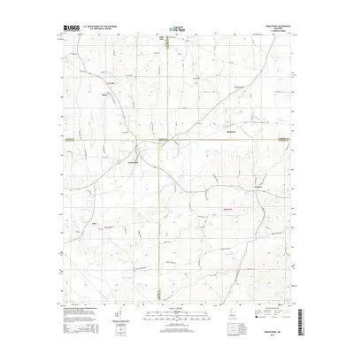
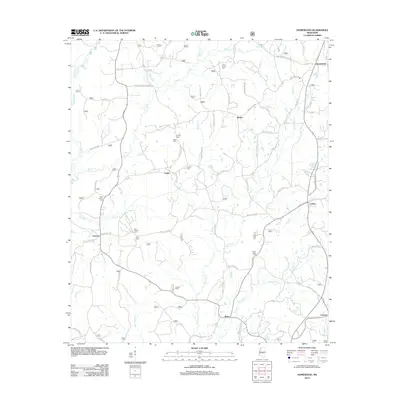 2012 Homewood2012 Print · USGSScott County's rural crossroads and family cemeteries are documented here in the early twenty-first century. Researchers can locate ancestral sites and small communities like Trenton, Burns, and Wicker, along with quiet landmarks such as Luther Chapel Cem.
 - 2012 Map of Clear Springs, 2012 Print
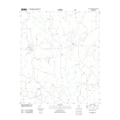 2012 Clear Springs2012 Print · USGSScott County forest lands and rural settlements are documented here in the early twenty-first century. Researchers can trace local lineage at Decedar Baptist Cem or explore the geography of Marathon Lake and the Bienville Forest Oil Field.
 - 2012 Map of Lena, 2012 Print
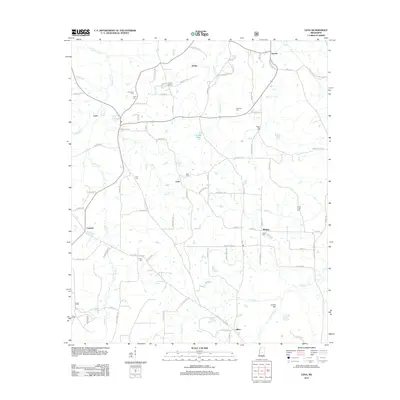 2012 Lena2012 Print · USGSLena and the neighboring hamlets of Leake County are shown during the early 2010s. Genealogists can trace family roots through numerous burial grounds like Harmony Cemetery and Elliott Cemetery, or locate the site of Sproles Siding.
 - 2012 Map of Harperville, 2012 Print
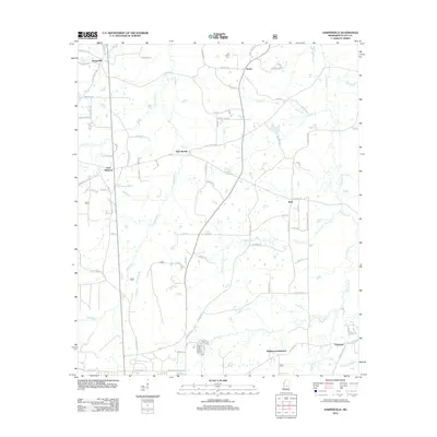 2012 Harperville2012 Print · USGSScott County's rural communities and winding creek systems are documented here during the early twenty-first century. Genealogists can locate family landmarks like Singleton Settlement, Usrytown, and the Old Union Cem across this landscape of pines and bottomlands.
 - 2012 Map of Forest, 2012 Print
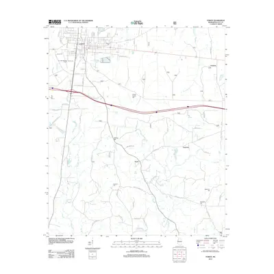 2012 Forest2012 Print · USGSScott County enters the early twenty-first century with Forest as its bustling anchor amidst the hills and river bottoms. Researchers can trace family roots at Eastern Cem, locate the small community of Norris, or explore the topography around Harrell Prairie Hill.
 - 2012 Map of Sharon SE, 2012 Print
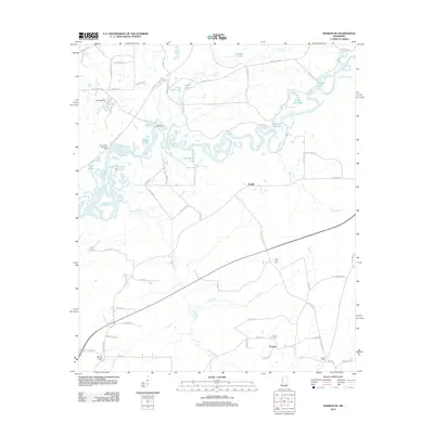 2012 Sharon SE2012 Print · USGSThe Pearl River bottomlands and the shores of the Reservoir define this Mississippi landscape during the early twenty-first century. Genealogists and local researchers can trace rural sites like Eureka, Ratliff, and family-oriented landmarks such as Eureka Cem or Lone Pine Cem.
 - 2012 Map of Ofahoma, 2012 Print
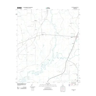 2012 Ofahoma2012 Print · USGSLeake County, Mississippi, is shown here in the early twenty-first century, defined by the winding waters of the Yockanookany River. Researchers can trace rural family sites and local history through Greenwood Cemetery, Ofahoma, and the Natchez Trace Pkwy.
 - 2012 Map of Sebastopol, 2012 Print
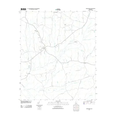 2012 Sebastopol2012 Print · USGSNeshoba and Scott counties appear here in the early twenty-first century, showing a rural landscape defined by creek drainages and timberland. Researchers can trace the layout of small communities like Sebastopol and Kitchener, or locate family sites near Salem Cem and High Hill.
 - 2012 Map of Forkville, 2012 Print
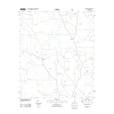 2012 Forkville2012 Print · USGSScott County near Morton is captured here in the early 2010s, showing a rural landscape woven together by winding creek bottoms and named prairies. Researchers can locate family landmarks such as Latham Cem and trace the paths of Coffee Bogue and Sugar Bogue through the settlements of Forkville and Branch.
 - 2012 Map of Hillsboro, 2012 Print
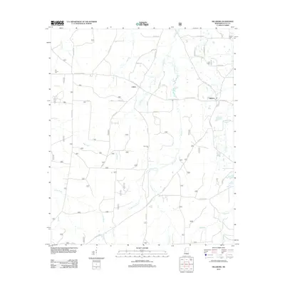 2012 Hillsboro2012 Print · USGSScott County, Mississippi, was a landscape of timber-lined creeks and rural crossroads when this survey was updated. Researchers can trace the layout of small communities like Hillsboro and Clifton or locate family markers at Old Duncan Cem and Lone Pilgrim Cem.
 - 2012 Map of Pulaski, 2012 Print
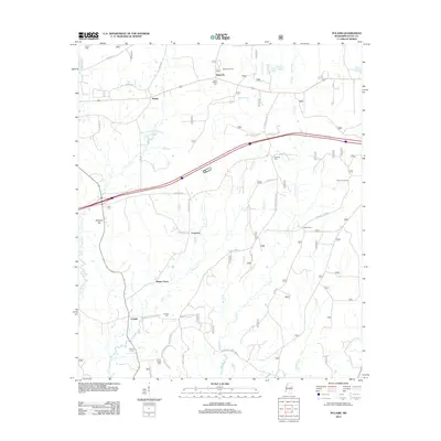 2012 Pulaski2012 Print · USGSScott County's rural landscape is captured here in the early twenty-first century, showing a network of established timber and farming communities. Genealogists and researchers can trace family landmarks and burial sites such as Luther Chapel Cem, Raworth, and the Moore Fire Tower.
 - 2012 Map of Morton, 2012 Print
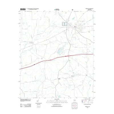 2012 Morton2012 Print · USGSScott County and the town of Morton are shown here in the early twenty-first century as the landscape transitioned between established rail corridors and modern highway networks. Researchers can pinpoint historical burial sites like Line Creek Cem and small settlements such as Kracker Station and Stage.
 - 2012 Map of Lake, 2012 Print
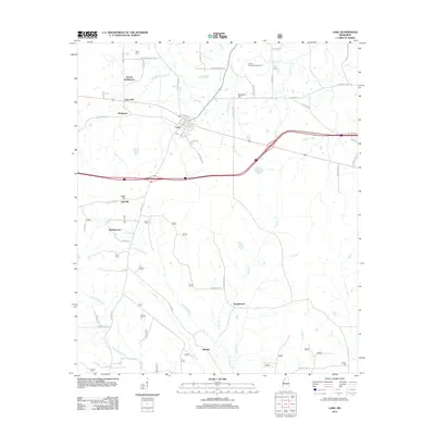 2012 Lake2012 Print · USGSCentral Mississippi in the early 2010s reveals a landscape of small rural hubs and historic family settlements near the Scott County line. Genealogists and local historians can trace the roads connecting Lake and Buckleytown to landmarks like Dennis Cem and the Patrons Union Campground.
 - 2012 Map of Conehatta, 2012 Print
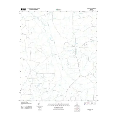 2012 Conehatta2012 Print · USGSConehatta and the rural stretches of Scott County are captured here in the early twenty-first century. Researchers can trace family roots through several local burial sites, such as Summers Cem and Lay Cem, or locate landmarks like Big Lake and Carson Pond.
 - 2012 Map of Pineville, 2012 Print
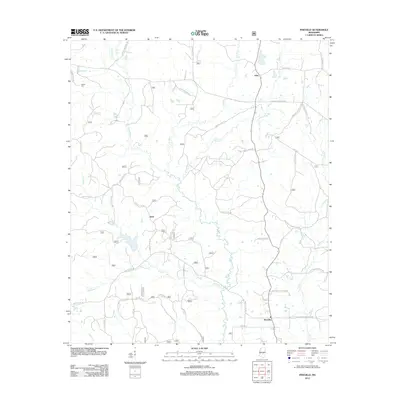 2012 Pineville2012 Print · USGSSettlements in Smith and Scott counties remain centered on the timberlands and creek basins of the Mississippi interior during the early 2010s. Genealogists and locals can map the reaches of the Leaf River and locate the Noblin Cem or the community of Klein.
 - 2012 Map of Walnut Grove, 2012 Print
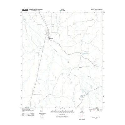 2012 Walnut Grove2012 Print · USGSLeake County at the start of the 2010s reveals a landscape of small settlements and managed waterways structured around the town of Walnut Grove. Genealogists and local historians can locate several rural burial sites like Fuston Cem and Damascus Cem or trace the drainage canals near Horseshoe.
 - 2015 Map of Clear Springs, 2015 Print
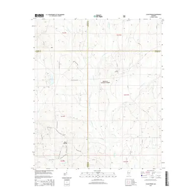 2015 Clear Springs2015 Print · USGSCentral Mississippi's timberlands and county intersections are captured here in the mid-2010s. Researchers can locate family sites at Decedar Baptist Cem and trace the paths of W Tallahala Cr through the Bienville National Forest.
 - 2015 Map of Forkville, 2015 Print
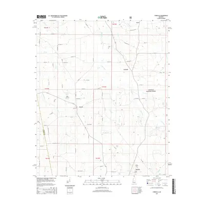 2015 Forkville2015 Print · USGSScott County rural life and the edges of the national forest are captured here in the mid-2010s. Genealogists and local historians can trace family road names and cemetery locations like Liberty Cem, Hodge Hill Cem, and the settlement of Forkville.
 - 2015 Map of Forest, 2015 Print
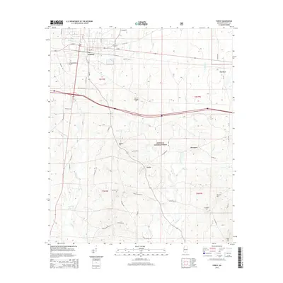 2015 Forest2015 Print · USGSScott County in the mid-2010s shows the city of FOREST as a developed crossroads at the edge of the Bienville National Forest. Researchers can trace old family sites and burial grounds at Eastern Cem and Gatewood Cem or explore the rural reaches of the Leaf River.
 - 2015 Map of Pulaski, 2015 Print
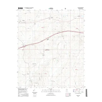 2015 Pulaski2015 Print · USGSScott County's forested interior is revealed in this mid-2010s survey, showing the quiet intersection of small timber-country settlements and federal lands. Genealogists and local historians can trace rural burial grounds like Searcy Cem and settlements such as Pulaski, Frogtown, and Hunter Town.
 - 2015 Map of Ofahoma, 2015 Print
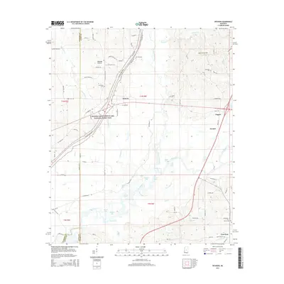 2015 Ofahoma2015 Print · USGSLeake County is defined by the convergence of the Pearl and Yockanookany Rivers in the mid-2010s. Genealogists and local historians can trace family roots at Forest Grove Cem, Tribulation Cem, and the rural settlement of Ofahoma.
 - 2015 Map of Sebastopol, 2015 Print
 2015 Sebastopol2015 Print · USGSThe four-county junction of Leake, Neshoba, Newton, and Scott counties is documented here in the mid-2010s. Genealogists can trace family roots through rural landmarks like High Hill Cem, Salem Cem, and the communities of Sebastopol and Kitchener.
Showing maps 1-25 of 57
Top cities of Scott County
Frequently asked questions
- What are the different types of historical maps available for Scott County?
- What is the oldest map of Scott County?
- Where can I purchase historical maps of Scott County for my home or office?
- Where can I download high-res historical maps of Scott County?
- Are there historical topographic maps available for Scott County?
- Is there historical aerial imagery available for Scott County?
- Where are historical maps of Scott County sourced from?