Old Maps of Harbert Landing, Mississippi for Academic Research
Study the evolution of Harbert Landing with 17 high-resolution historic maps. Whether you're teaching, researching, or modeling changes in land use, these maps provide essential visual documentation of urban, environmental, and geographic change.
- Analyze long-term change: Track patterns in development, transportation, and natural features.
- Ideal for environmental or urban studies: Support academic projects with primary historical map data.
- Use in the classroom or lab: Educators and researchers rely on these maps to bring historical context to life.
These maps are a powerful tool for teaching, research, and visualizing how Harbert Landing has changed over the decades.
Harbert Landing, MS maps
(17)- 1939 Map of Latour, 1944 Print
 1939 Latour1944 Print · USGSPhillips County and the Mississippi Delta are shown here just before the Second World War as a landscape defined by river navigation and rail transport. Researchers can trace the footprints of communities like Helena and find family-named landmarks such as Tate Ldg, Zion Ch, and Flower Chapel Cemetery.2 unique versions available
 - 1948 Map of Helena
 1948 Helena1948 Print · USGSEastern Arkansas and the Mississippi Delta are captured here just after the war, showing a landscape defined by its great rivers and rail lines. Genealogists can trace family locations near Bemis Plantation, Helena, and smaller rail stops like Wheatley and Moro.
 - 1950 Map of Helena
 1950 Helena1950 Print · USGSMid-century Phillips County and the surrounding Delta region are shown at a peak of rail and river commerce. Genealogists and historians can trace family locations through numerous rural communities like Old Austin, Cotton Plant, and West Helena, or follow the routes of the Missouri Pacific RR across Grand Prairie.2 unique versions available
 - 1955 Map of Latour
 1955 Latour1955 Print · USGSThe riverfront at Helena and West Helena is shown in the mid-fifties, featuring a landscape defined by the Mississippi's shifting bends and flood control projects. Genealogists can locate numerous landmarks including the Walters-Southland Institute and Spring Lake Cem & Ch.
 - 1955 Map of Helena, 1967 Print
 1955 Helena1967 Print · USGSThe Arkansas Delta and Mississippi floodplains are captured here in the mid-fifties, during a period of expanding flood control and rail commerce. Researchers can trace the extensive Chicago Rock Island and Pacific RR lines and locate sites like the Arkansas State College Experimental Rice Farm or Friars Point.2 unique versions available
 - 1959 Map of Helena
 1959 Helena1959 Print · USGSThe Arkansas and Mississippi Delta regions are captured here in the late fifties, showing a landscape defined by the Mississippi River and the Grand Prairie. Genealogists and researchers can trace the rail networks of the Illinois Central RR and locate community landmarks like Helena and the White River National Wildlife Refuge.
 - 1960 Map of Helena
 1960 Helena1960 Print · USGSThe Arkansas and Mississippi Delta regions meet along the great river bends during a period of significant agricultural and rail expansion. Genealogists and historians can trace the paths of the Missouri Pacific railroad through Clarendon or locate landings along the Mississippi River and White River.
 - 1961 Map of Latour, 1965 Print
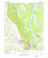 1961 Latour1965 Print · USGSThe riverfront cities of Helena and West Helena are captured here in the early sixties, showing the vital rail-and-river hub at the edge of the St Francis National Forest. Family historians can locate dozens of rural landmarks, from Lexa and Southland to Mt Olive Ch and Trinity Cem.2 unique versions available
 - 1963 Map of Latour
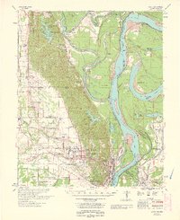 1963 Latour1963 Print · USGSPhillips County and the Mississippi River Delta appear here in the early sixties as a thriving network of river-bound commerce and rural communities. Genealogists can locate family landmarks such as Riedy Grove Cem, St Pauls Ch, and the historic industrial center at Helena Crossing.
 - 1982 Map of Stubbs Island
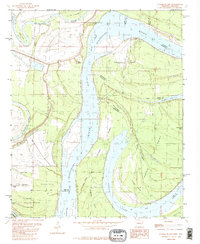 1982 Stubbs Island1982 Print · USGSThe Mississippi River Delta at the start of the 1980s reveals a complex world of shifting watercourses and state boundaries. Trace the remnants of the old river channel through Hardin Cut-off, the waters of Laddie Lake, and the isolated reaches of Stubbs Island.2 unique versions available
 - 1984 Map of Helena, 1985 Print
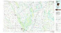 1984 Helena1985 Print · USGSThe Delta landscape of Arkansas and Mississippi comes to life in this mid-eighties survey of river bends and ridge settlements. Researchers can trace the rail-and-river economy through Missouri Pacific lines and local landmarks like Whiskey Island or Marianna.
 - 1990 Map of Helena, 1991 Print
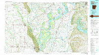 1990 Helena1991 Print · USGSThe Arkansas and Mississippi delta regions meet here in the 1990s, where the great river's oxbows and islands define the state line. Genealogists and historians can trace the rail networks of the Illinois Central Gulf RR and local settlements like Palestine, Marvell, and La Grange.
 - 2011 Map of Stubbs Island, 2011 Print
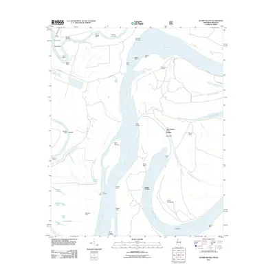 2011 Stubbs Island2011 Print · USGSThe Arkansas-Mississippi borderlands appear as a complex network of river channels and landings in the early twenty-first century. Genealogists and local historians can trace riverfront landmarks like Saint Francis Island Landing, Blue Point Landing, and the seasonal Tate Lodge.
 - 2015 Map of Stubbs Island, 2015 Print
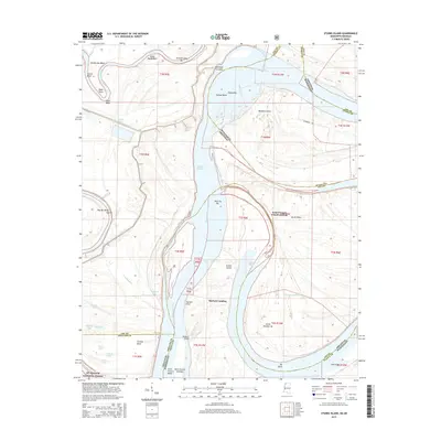 2015 Stubbs Island2015 Print · USGSThe riverine border between Arkansas and Mississippi comes alive in this mid-2010s survey of the delta's shifting waters. Researchers can trace the lineage of river commerce at Saint Francis Island Landing or explore the oxbows of St. Francis National Forest.
 - 2018 Map of Stubbs Island, 2018 Print
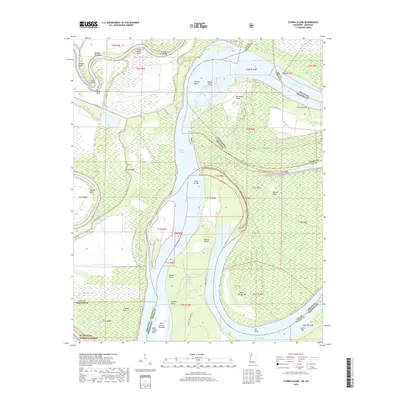 2018 Stubbs Island2018 Print · USGSThe river borders of Arkansas and Mississippi are captured here in the late twenty-teens, showing a landscape of shifting channels and timberland. Researchers can trace the winding Saint Francis River as it meets the Mississippi River near Stubbs Island and Island Number 58.
 - 2021 Map of Stubbs Island, 2021 Print
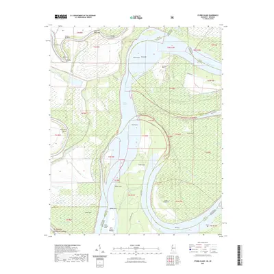 2021 Stubbs Island2021 Print · USGSThe Delta landscape where the Arkansas and Mississippi borders meet is revealed here in its modern riverine state. Researchers can trace the shifting course of the Mississippi River through features like Stubbs Island, Kate Adams Chute, and Bordeaux Point.
 - 2024 Map of Stubbs Island, 2024 Print
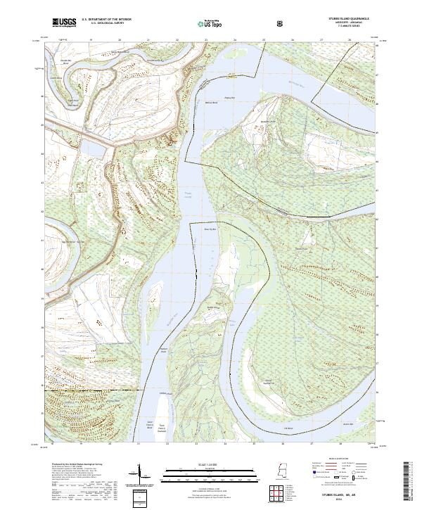 2024 Stubbs Island2024 Print · USGSThe Mississippi River delta at the border of Arkansas and Mississippi shows a landscape shaped by water and woodland in the early twenty-first century. Researchers can trace the river's shifting course through Hardin Cut-Off, Stubbs Island, and the protected reaches of the Saint Francis National Forest.
End of results
Showing maps 1-17 of 17
Top cities near Harbert Landing
- Helena-West Helena historical maps
- Marianna historical maps
- Tunica historical maps
- Lula historical maps
- Lexa historical maps
- La Grange historical maps
See more
Frequently asked questions
- What are the different types of historical maps available for Harbert Landing?
- What is the oldest map of Harbert Landing?
- Where can I purchase historical maps of Harbert Landing for my home or office?
- Where can I download high-res historical maps of Harbert Landing?
- Are there historical topographic maps available for Harbert Landing?
- Is there historical aerial imagery available for Harbert Landing?
- Where are historical maps of Harbert Landing sourced from?