Old Maps of Tunica, Mississippi for Academic Research
Study the evolution of Tunica with 27 high-resolution historic maps. Whether you're teaching, researching, or modeling changes in land use, these maps provide essential visual documentation of urban, environmental, and geographic change.
- Analyze long-term change: Track patterns in development, transportation, and natural features.
- Ideal for environmental or urban studies: Support academic projects with primary historical map data.
- Use in the classroom or lab: Educators and researchers rely on these maps to bring historical context to life.
These maps are a powerful tool for teaching, research, and visualizing how Tunica has changed over the decades.
Tunica, MS maps
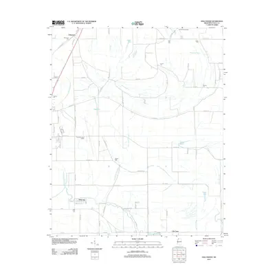
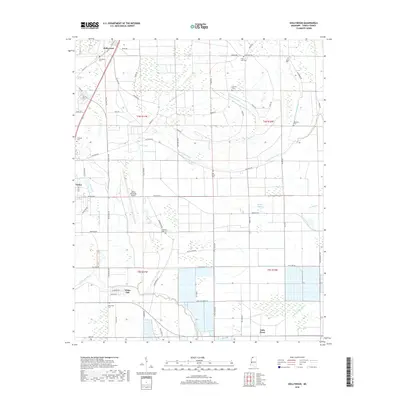
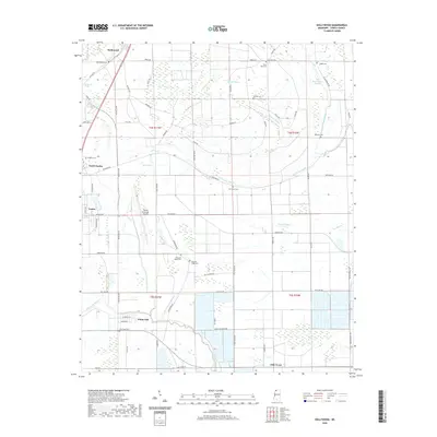
(27)- 1908 Map of Hollywood, 1961 Print
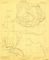
 1908 Hollywood1961 Print · USGSTunica County at the dawn of the twentieth century was a land of intricate bayous and rural sanctuaries. Genealogists and researchers can trace early congregation sites like Corinth Church and Moon Chapel alongside the winding Minton Bayou.
 - 1913 Map of Hollywood
 1913 Hollywood1913 Print · USGSTunica County at the dawn of the twentieth century was a landscape of intricate Delta bayous and isolated community churches. Genealogists and historians can trace the early locations of Corinth Church, New Hope Church, and water landmarks like Jasper Lake.
 - 1939 Map of Clayton, 1941 Print
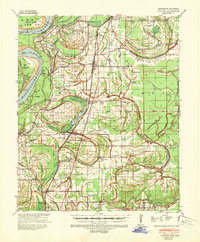 1939 Clayton1941 Print · USGSTunica County and the Mississippi Delta are shown here during the pre-war years, revealing a rural landscape shaped by river bends and rail lines. Genealogists can trace family names through dozens of community landmarks like Reed Normal Sch, Oakwood Cem, and Hamlin Ch.2 unique versions available
 - 1948 Map of Helena
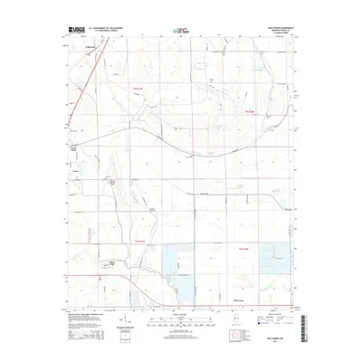
 1948 Helena1948 Print · USGSEastern Arkansas and the Mississippi Delta are captured here just after the war, showing a landscape defined by its great rivers and rail lines. Genealogists can trace family locations near Bemis Plantation, Helena, and smaller rail stops like Wheatley and Moro.
 - 1950 Map of Helena
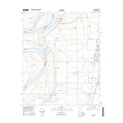
 1950 Helena1950 Print · USGSMid-century Phillips County and the surrounding Delta region are shown at a peak of rail and river commerce. Genealogists and historians can trace family locations through numerous rural communities like Old Austin, Cotton Plant, and West Helena, or follow the routes of the Missouri Pacific RR across Grand Prairie.2 unique versions available
 - 1955 Map of Clayton
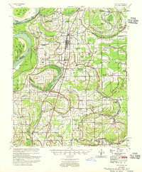 1955 Clayton1955 Print · USGSTunica County and the Mississippi Delta at mid-century reveal a dense network of river-town life and rail-line commerce. Researchers can trace family roots through numerous church and school sites like Shady Grove Ch Sch & Cem, Reed Normal Sch, and Dundee Sch.2 unique versions available
 - 1955 Map of Helena, 1967 Print
 1955 Helena1967 Print · USGSThe Arkansas Delta and Mississippi floodplains are captured here in the mid-fifties, during a period of expanding flood control and rail commerce. Researchers can trace the extensive Chicago Rock Island and Pacific RR lines and locate sites like the Arkansas State College Experimental Rice Farm or Friars Point.2 unique versions available
 - 1959 Map of Helena
 1959 Helena1959 Print · USGSThe Arkansas and Mississippi Delta regions are captured here in the late fifties, showing a landscape defined by the Mississippi River and the Grand Prairie. Genealogists and researchers can trace the rail networks of the Illinois Central RR and locate community landmarks like Helena and the White River National Wildlife Refuge.
 - 1960 Map of Helena
 1960 Helena1960 Print · USGSThe Arkansas and Mississippi Delta regions meet along the great river bends during a period of significant agricultural and rail expansion. Genealogists and historians can trace the paths of the Missouri Pacific railroad through Clarendon or locate landings along the Mississippi River and White River.
 - 1965 Map of Tunica, 1966 Print
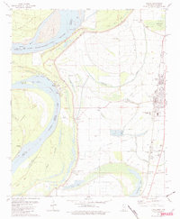
 1965 Tunica1966 Print · USGSThe West Feliciana Parish riverfront in the mid-sixties is defined by the expansive Louisiana State Penitentiary grounds at Angola. Researchers can trace the layout of the State Penal Farm and find rural landmarks like Tunica Sch and St Augustine Ch.2 unique versions available
 - 1975 Map of Hollywood, 1976 Print
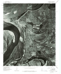
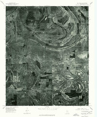 1975 Hollywood1976 Print · USGSThe Mississippi Delta landscape near Tunica is revealed through mid-seventies aerial imagery, documenting a world of precise field patterns and oxbow waterways. Trace the winding paths of Jack Lake Bayou and Whiteoak Bayou through the rural community of Hollywood.
 - 1975 Map of Clayton NW, 1976 Print
 1975 Clayton NW1976 Print · USGSThe Mississippi Delta landscape comes into focus in the mid-1970s, revealing the intricate patterns of agriculture and river movement. Researchers can trace the layout of small communities like Austin and Evansville or explore the banks of Beaverdam Lake.
 - 1981 Map of Tunica, 1982 Print
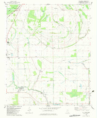
 1981 Tunica1982 Print · USGSThe Mississippi Delta's intricate river-and-rail landscape is captured here in the early 1980s. Local researchers can trace the growth of Tunica and Austin or locate ancestral sites like New Salem Ch and Shady Grove Cem near the river oxbows.2 unique versions available
 - 1982 Map of Hollywood, 1983 Print
 1982 Hollywood1983 Print · USGSThe Tunica County Delta comes into sharp focus during the early eighties, showing a landscape of bayous and rail-side settlements. Researchers can locate numerous rural landmarks like Little Texas, Corinth Cem, and the Delta Hills of Pritchard Sch.
 - 1984 Map of Helena, 1985 Print
 1984 Helena1985 Print · USGSThe Delta landscape of Arkansas and Mississippi comes to life in this mid-eighties survey of river bends and ridge settlements. Researchers can trace the rail-and-river economy through Missouri Pacific lines and local landmarks like Whiskey Island or Marianna.
 - 1990 Map of Helena, 1991 Print
 1990 Helena1991 Print · USGSThe Arkansas and Mississippi delta regions meet here in the 1990s, where the great river's oxbows and islands define the state line. Genealogists and historians can trace the rail networks of the Illinois Central Gulf RR and local settlements like Palestine, Marvell, and La Grange.
 - 2011 Map of Tunica, 2011 Print
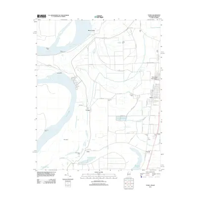
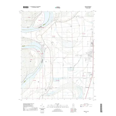
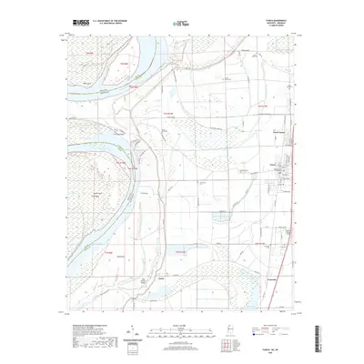
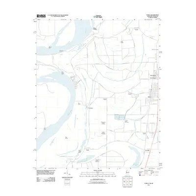 2011 Tunica2011 Print · USGSCovers Tunica, including Austin, Mhoon Landing, and other nearby areas
 - 2012 Map of Hollywood, 2012 Print
 2012 Hollywood2012 Print · USGSCovers Tunica, including White Oak, Hollywood, and other nearby areas
 - 2012 Map of Tunica, 2012 Print
 2012 Tunica2012 Print · USGSCovers Tunica, including Austin, Mhoon Landing, and other nearby areas
 - 2015 Map of Hollywood, 2015 Print
 2015 Hollywood2015 Print · USGSCovers Tunica, including White Oak, Hollywood, and other nearby areas
 - 2015 Map of Tunica, 2015 Print
 2015 Tunica2015 Print · USGSCovers Tunica, including Austin, Mhoon Landing, and other nearby areas
 - 2018 Map of Hollywood, 2018 Print
 2018 Hollywood2018 Print · USGSCovers Tunica, including White Oak, Hollywood, and other nearby areas
 - 2018 Map of Tunica, 2018 Print
 2018 Tunica2018 Print · USGSCovers Tunica, including Austin, Mhoon Landing, and other nearby areas
 - 2020 Map of Hollywood, 2020 Print
 2020 Hollywood2020 Print · USGSCovers Tunica, including White Oak, Hollywood, and other nearby areas
 - 2020 Map of Tunica, 2020 Print
 2020 Tunica2020 Print · USGSCovers Tunica, including Austin, Mhoon Landing, and other nearby areas
Showing maps 1-25 of 27
Top cities near Tunica
Frequently asked questions
- What are the different types of historical maps available for Tunica?
- What is the oldest map of Tunica?
- Where can I purchase historical maps of Tunica for my home or office?
- Where can I download high-res historical maps of Tunica?
- Are there historical topographic maps available for Tunica?
- Is there historical aerial imagery available for Tunica?
- Where are historical maps of Tunica sourced from?