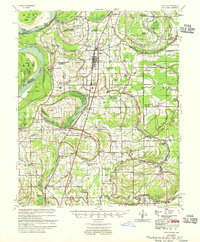
1955 Map of Clayton
USGS Topo · Published 1955About this map
The Mississippi River defines the western edge of this landscape, its path marked by deep meanders like Mhoon Bend and the oxbow waters of Old River Lake. The terrain is a network of bayous and lakes, including Beaverdam Lake and Flower Lake, reflecting the hydrological complexity of the Delta before modern flood control efforts reached their contemporary peak. The Illinois Central railroad runs north-to-south, anchoring the primary settlements of Tunica and Hollywood, which serve as the commercial hubs for this agricultural region.
Find a feature on this map
135 named features on this map. Tap any name to fly to it.
Don’t see what you’re looking for? This feature index may not catch every label — zoom into the map to look around manually.
Map Details
Editions of this 1955 Clayton Map
2 editions found
Other maps of this area

1908 · Lula
USGS Topo · 1:24,000

1908 · Dundee
USGS Topo · 1:24,000

1908 · Hollywood
USGS Topo · 1:24,000

1908 · Moon Lake
USGS Topo · 1:24,000

1908 · Walnut Lake
USGS Topo · 1:24,000

1910 · Dundee
USGS Topo · 1:31,680

1910 · Walnut Lake
USGS Topo · 1:31,680

1912 · Moon Lake
USGS Topo · 1:31,680

1912 · Lula
USGS Topo · 1:31,680

1913 · Hollywood
USGS Topo · 1:31,680