2010s Maps of Saint Joseph, Missouri
Explore 18 historic maps of Saint Joseph from the 2010s. These maps offer a rare glimpse into what life looked like during the 2010s — showing old roads, neighborhoods, homes, and landmarks that have changed or disappeared over time.
Whether you're researching your family's past, planning a metal detecting trip, or studying how Saint Joseph's landscape evolved across the 2010s, these high-resolution maps are a powerful tool for exploring the history of this region.
- Focus on a specific era: All maps on this page are from the 2010s, giving you a focused view of this time period.
- See what’s changed: Compare century-old streets, trails, and buildings to today's modern landscape using overlays and satellite layers.
- Research with precision: Use these maps for genealogy, historical research, land use analysis, or educational projects.
- View, download, or print: Maps are fully viewable online in high resolution, and can be downloaded or printed for your own records.
Start exploring Saint Joseph's history through authentic maps from the 2010s. This is your window into the past.
Saint Joseph, MO maps
(18)- 2012 Map of Halls, 2012 Print
 2012 Halls2012 Print · USGSSaint Joseph and its southwestern rural outskirts are captured here during the early twenty-first century. Genealogists and local historians can trace the small settlements of Palermo, Kenmoor, and Halls, or locate burials at the Bethel Cemetery.
 - 2012 Map of Saint Joseph North, 2012 Print
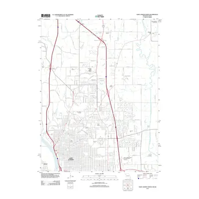 2012 Saint Joseph North2012 Print · USGSSaint Joseph is shown in its modern suburban expansion toward the loess hills in the early twenty-first century. Genealogists can trace family names across a high density of burial sites including Mount Mora, Ashland Cemetery, and Vanschoiack Cemetery.
 - 2012 Map of Cosby, 2012 Print
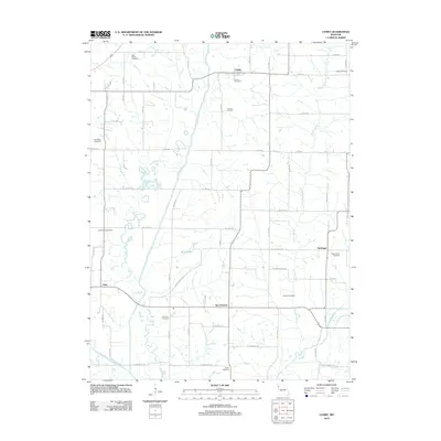 2012 Cosby2012 Print · USGSNorthwest Missouri's rural landscape comes into focus in the early 2010s, centered on the Platte River valley and its surrounding farming communities. Genealogists can locate numerous local burial sites including High Prairie Cemetery, Bethel Cemetery, and Concord Cemetery.
 - 2012 Map of Agency, 2012 Print
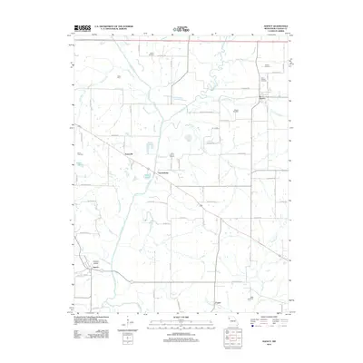 2012 Agency2012 Print · USGSBuchanan County's rural river valleys are shown here in the early twenty-first century, centered on the winding Platte River. Researchers can trace old family burial sites like Moxley Cemetery or locate early settlements such as Evansville and Garrettsburg.
 - 2012 Map of Saint Joseph South, 2012 Print
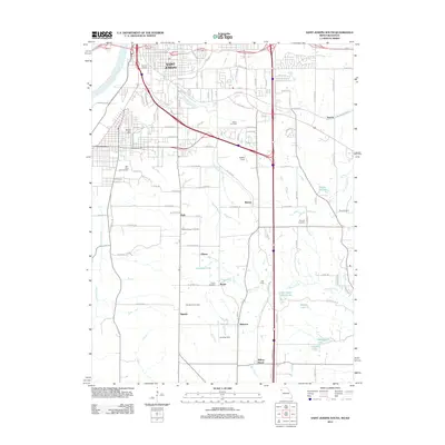 2012 Saint Joseph South2012 Print · USGSThe southern outskirts of Saint Joseph and the Missouri River bottoms are detailed here in the early twenty-first century. Researchers can trace family history through several sites like Nelson Cemetery, Old Sparta Cemetery, and the community of Willow Brook.
 - 2012 Map of Wathena, 2012 Print
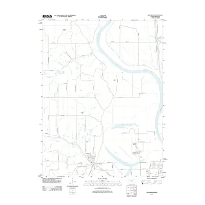 2012 Wathena2012 Print · USGSThe riverfront and farming lowlands of the Kansas-Missouri border come into focus in the early 2010s. Genealogists and historians can trace local heritage through numerous burial grounds like Bellemont Cem and Tambor Cem or explore the geography of Gladden Bottom.
 - 2014 Map of Halls, 2014 Print
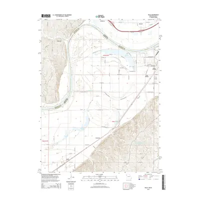 2014 Halls2014 Print · USGSThe Missouri-Kansas borderlands come alive in this recent survey of the Missouri River floodplain south of St. Joseph. Genealogists and local historians can trace family roots at Bethel Cemetery and Kerlin Cemetery or explore the river-adjacent settlements of Halls and Kenmoor.
 - 2014 Map of Agency, 2014 Print
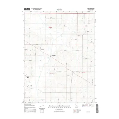 2014 Agency2014 Print · USGSBuchanan County's river-bottom lands and rural townships are captured in this recent survey of the Missouri landscape. Genealogists and local historians can trace family ties at Saint Josephs Cemetery, Moxley Cemetery, and the historic crossroads of Garrettsburg.
 - 2015 Map of Saint Joseph North, 2015 Print
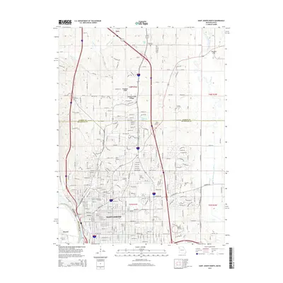 2015 Saint Joseph North2015 Print · USGSSaint Joseph's northern reaches and the Andrew County borderlands are shown here in the mid-2010s. Local researchers can trace family plots across a network of historic grounds like Mount Mora Cemetery or locate the sprawling campus of Missouri Western State Univ.
 - 2015 Map of Cosby, 2015 Print
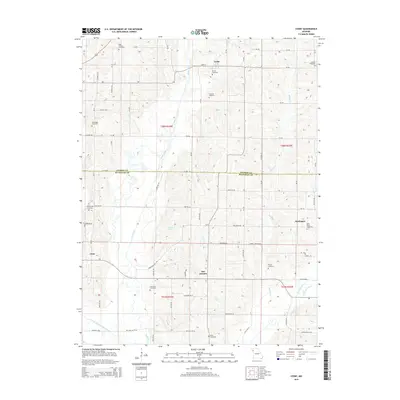 2015 Cosby2015 Print · USGSAndrew and Buchanan counties are shown in the early twenty-first century, a landscape defined by traditional farming communities and river valleys. Genealogists can trace family connections through numerous sites like High Prairie Cemetery, San Antonio, and the rural village of Cosby.
 - 2015 Map of Saint Joseph South, 2015 Print
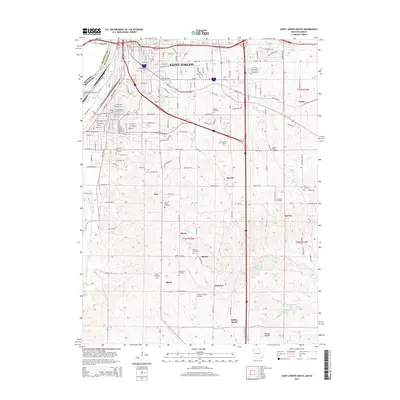 2015 Saint Joseph South2015 Print · USGSThe southern outskirts of Saint Joseph meet the Missouri River in this mid-2010s survey of Buchanan County. Genealogists and local historians can trace numerous rural burial grounds like Pleasant Ridge Cemetery and old settlements such as Agency and Sparta.
 - 2015 Map of Wathena, 2015 Print
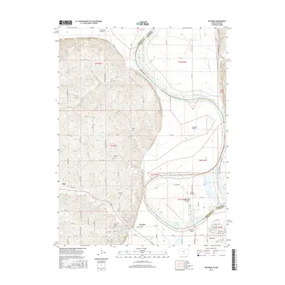 2015 Wathena2015 Print · USGSDoniphan County and the Missouri River bottoms are shown here as they appeared in the mid-2010s. Researchers can trace local lineage through numerous sites like Bellemont Cem and Mount Calvary Cem near Wathena.
 - 2017 Map of Saint Joseph North, 2017 Print
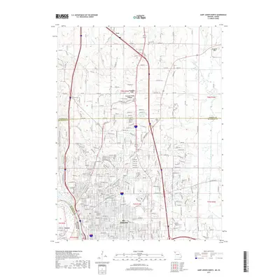 2017 Saint Joseph North2017 Print · USGSThe northern neighborhoods of St. Joseph come into sharp focus in the late twenty-tens, showing the city's suburban reach and institutional growth. Researchers can trace family plots in Mount Mora Cem or locate the campuses of Missouri Western State Univ and Vatterott Coll.
 - 2017 Map of Agency, 2017 Print
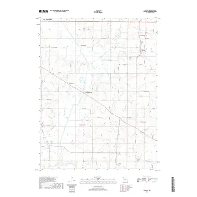 2017 Agency2017 Print · USGSBuchanan County settlements and family burial grounds are meticulously documented in this 2017 survey of the rural Missouri landscape. Local researchers can trace the paths of the Platte River and Third Fork while locating historic sites like Easton, Agency, and Saint Josephs Cem.
 - 2017 Map of Saint Joseph South, 2017 Print
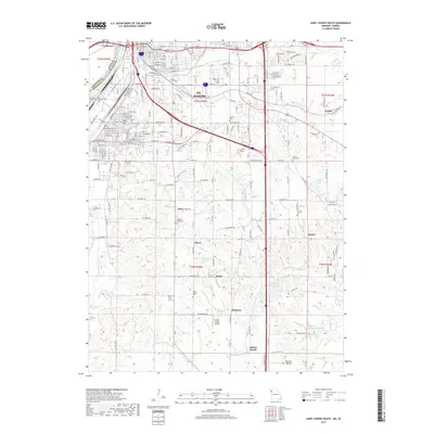 2017 Saint Joseph South2017 Print · USGSSouthern St. Joseph and the surrounding Buchanan County hills are mapped in detail during the late 2010s. Genealogists can trace family burial sites like Old Sparta Cem and Nelson Cem or locate rural communities such as Agency and Willow Brook.
 - 2017 Map of Cosby, 2017 Print
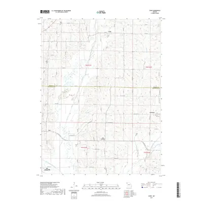 2017 Cosby2017 Print · USGSNorthwest Missouri farmland and the meandering Platte River define this region during the twenty-tens. Local historians can trace family roots through several rural burial grounds, including Saint Marys Cem, Courtney Cem, and the old settlement at San Antonio.
 - 2017 Map of Halls, 2017 Print
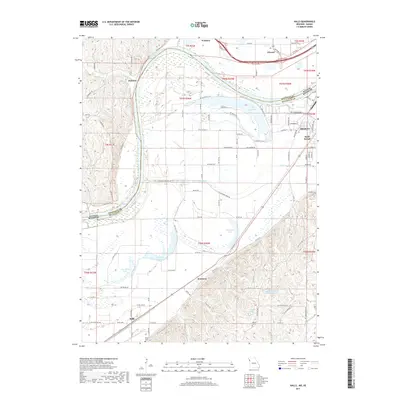 2017 Halls2017 Print · USGSThe Missouri River bottoms and the outskirts of Saint Joseph come into focus during this mid-2010s survey of the state line. Researchers can trace the landscape of old oxbows like Horseshoe Lake or locate local landmarks including Halls and the Bethel Cem.
 - 2018 Map of Wathena, 2018 Print
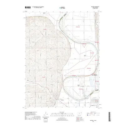 2018 Wathena2018 Print · USGSThe Missouri River border near St. Joseph is captured here in the late 2010s, showing the intersection of Kansas bluff country and Missouri river bottoms. Researchers can locate numerous hilltop burial sites like Moskau Cem or trace the reach of Rosecrans Memorial Airport and Browning Lake.
End of results
Showing maps 1-18 of 18
Top cities near Saint Joseph
- Savannah historical maps
- Gower historical maps
- Wathena historical maps
- Elwood historical maps
- Agency historical maps
- Dearborn historical maps
See more
Top neighborhoods of Saint Joseph
- Saxton historical maps
- Kirschner historical maps
- The Hills historical maps
- Mission Woods historical maps
- The Commons historical maps
- Wilshire Place historical maps
See more
Frequently asked questions
- What are the different types of historical maps available for Saint Joseph?
- What is the oldest map of Saint Joseph?
- Where can I purchase historical maps of Saint Joseph for my home or office?
- Where can I download high-res historical maps of Saint Joseph?
- Are there historical topographic maps available for Saint Joseph?
- Is there historical aerial imagery available for Saint Joseph?
- Where are historical maps of Saint Joseph sourced from?