2000s (21st Century) Maps of Holts Summit, Missouri
Explore 14 historic maps of Holts Summit from the 2000s (21st Century). These maps offer a rare glimpse into what life looked like during the 2000s — showing old roads, neighborhoods, homes, and landmarks that have changed or disappeared over time.
Whether you're researching your family's past, planning a metal detecting trip, or studying how Holts Summit's landscape evolved across the 2000s, these high-resolution maps are a powerful tool for exploring the history of this region.
- Focus on a specific era: All maps on this page are from the 2000s, giving you a focused view of this time period.
- See what’s changed: Compare century-old streets, trails, and buildings to today's modern landscape using overlays and satellite layers.
- Research with precision: Use these maps for genealogy, historical research, land use analysis, or educational projects.
- View, download, or print: Maps are fully viewable online in high resolution, and can be downloaded or printed for your own records.
Start exploring Holts Summit's history through authentic maps from the 2000s. This is your window into the past.
Holts Summit, MO maps
(14)- 2000 Map of Jefferson City NW, 2003 Print
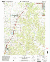
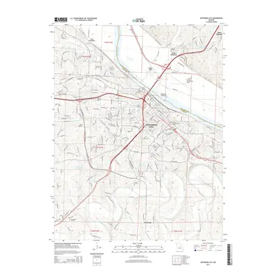
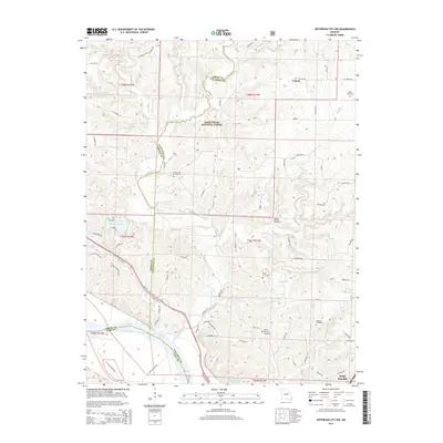
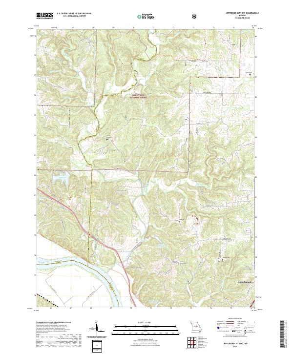
 2000 Jefferson City NW2003 Print · USGSCallaway County and the Missouri River bottomlands are captured here at the turn of the millennium as a blend of conservation forest and river-fed agriculture. Researchers can trace family history at Wallace Cemetery or explore the corridor of the Katy Trail State Park near the State Prison Farm.
 - 2000 Map of New Bloomfield, 2003 Print
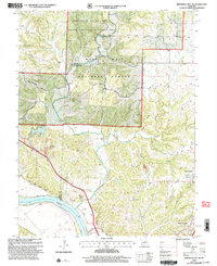
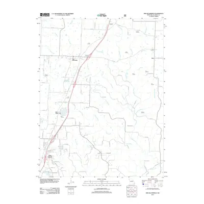
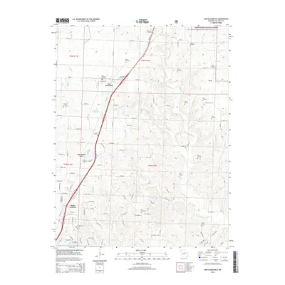
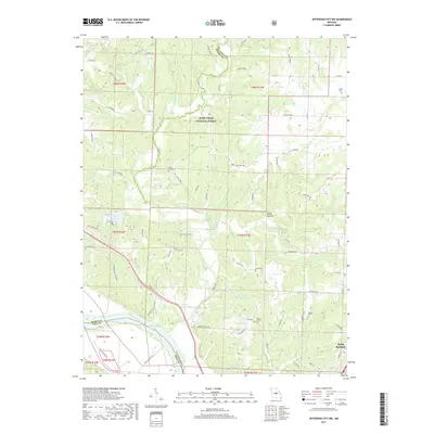
 2000 New Bloomfield2003 Print · USGSCallaway County at the turn of the millennium shows a landscape where established towns like New Bloomfield meet the edges of the Mark Twain National Forest. Genealogists can trace family names through over a dozen rural burial sites, including Cason Cem, Williams Cem, and Foster Cem.
 - 2011 Map of Jefferson City, 2011 Print
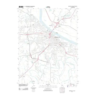 2011 Jefferson City2011 Print · USGSCovers Holts Summit, including Jefferson City, Wardsville, and other nearby areas
 - 2012 Map of Jefferson City NW, 2012 Print
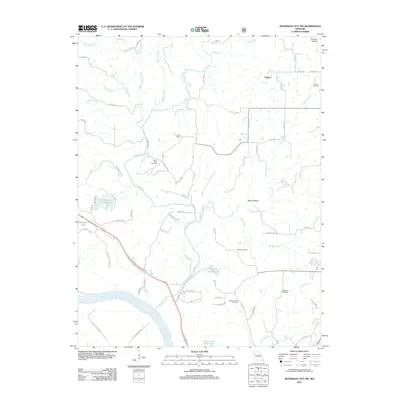 2012 Jefferson City NW2012 Print · USGSCovers Holts Summit, including Boone County, Cole County, and other nearby areas
 - 2012 Map of New Bloomfield, 2012 Print
 2012 New Bloomfield2012 Print · USGSCovers Holts Summit, including New Bloomfield, Lake Mykee Town, and other nearby areas
 - 2015 Map of New Bloomfield, 2015 Print
 2015 New Bloomfield2015 Print · USGSCovers Holts Summit, including New Bloomfield, Lake Mykee Town, and other nearby areas
 - 2015 Map of Jefferson City, 2015 Print
 2015 Jefferson City2015 Print · USGSCovers Holts Summit, including Jefferson City, Wardsville, and other nearby areas
 - 2015 Map of Jefferson City NW, 2015 Print
 2015 Jefferson City NW2015 Print · USGSCovers Holts Summit, including Boone County, Cole County, and other nearby areas
 - 2017 Map of Jefferson City NW, 2017 Print
 2017 Jefferson City NW2017 Print · USGSCovers Holts Summit, including Boone County, Cole County, and other nearby areas
 - 2017 Map of New Bloomfield, 2017 Print
 2017 New Bloomfield2017 Print · USGSCovers Holts Summit, including New Bloomfield, Lake Mykee Town, and other nearby areas
 - 2017 Map of Jefferson City, 2017 Print
 2017 Jefferson City2017 Print · USGSCovers Holts Summit, including Jefferson City, Wardsville, and other nearby areas
 - 2021 Map of Jefferson City NW, 2021 Print
 2021 Jefferson City NW2021 Print · USGSCallaway and Boone counties are seen here as they appeared recently, centered on the wooded breaks and creek valleys north of the Missouri River. Genealogists and hikers can trace the Katy Trl or locate family sites like Mount Zion Cem and Wallace Cem.
 - 2021 Map of Jefferson City, 2021 Print
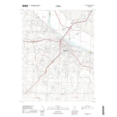
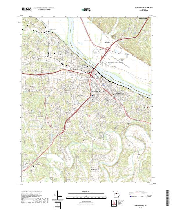 2021 Jefferson City2021 Print · USGSJefferson City and its surrounding Missouri River bluffs appear in high detail during the early 2020s. Genealogists and historians can trace institutional landmarks like Lincoln University or locate family burial sites at Harthill Cem and Lamkin Cem.
 - 2021 Map of New Bloomfield, 2021 Print
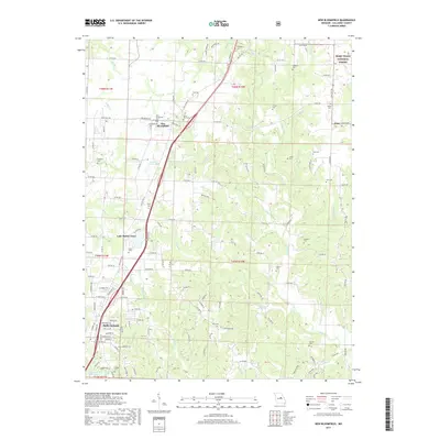
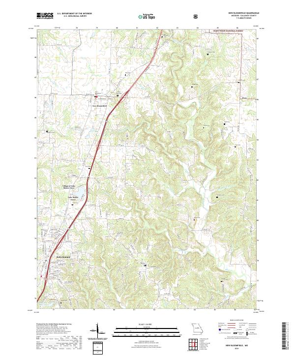 2021 New Bloomfield2021 Print · USGSCallaway County settlement and local history are documented here in the early twenty-first century, spanning from New Bloomfield to Holts Summit. Genealogists can locate numerous burial sites such as Old Providence Cem, King Cem, and Williams Cem.
End of results
Showing maps 1-14 of 14
Top cities near Holts Summit
- Columbia historical maps
- Jefferson City historical maps
- Fulton historical maps
- Ashland historical maps
- Wardsville historical maps
- Taos historical maps
See more
Frequently asked questions
- What are the different types of historical maps available for Holts Summit?
- What is the oldest map of Holts Summit?
- Where can I purchase historical maps of Holts Summit for my home or office?
- Where can I download high-res historical maps of Holts Summit?
- Are there historical topographic maps available for Holts Summit?
- Is there historical aerial imagery available for Holts Summit?
- Where are historical maps of Holts Summit sourced from?