2020s Maps of Holt County, Missouri
Explore 24 historic maps of Holt County from the 2020s. These maps offer a rare glimpse into what life looked like during the 2020s — showing old roads, neighborhoods, homes, and landmarks that have changed or disappeared over time.
Whether you're researching your family's past, planning a metal detecting trip, or studying how Holt County's landscape evolved across the 2020s, these high-resolution maps are a powerful tool for exploring the history of this region.
- Focus on a specific era: All maps on this page are from the 2020s, giving you a focused view of this time period.
- See what’s changed: Compare century-old streets, trails, and buildings to today's modern landscape using overlays and satellite layers.
- Research with precision: Use these maps for genealogy, historical research, land use analysis, or educational projects.
- View, download, or print: Maps are fully viewable online in high resolution, and can be downloaded or printed for your own records.
Start exploring Holt County's history through authentic maps from the 2020s. This is your window into the past.
Holt County, MO maps
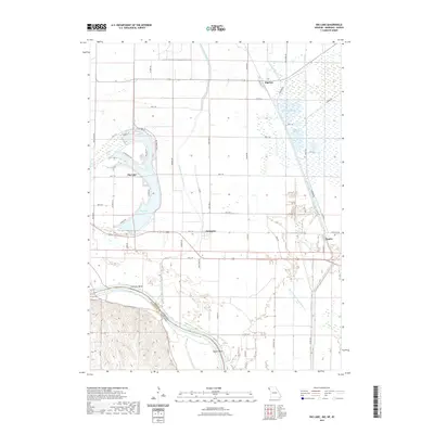
(24)- 2021 Map of Tarkio SE, 2021 Print
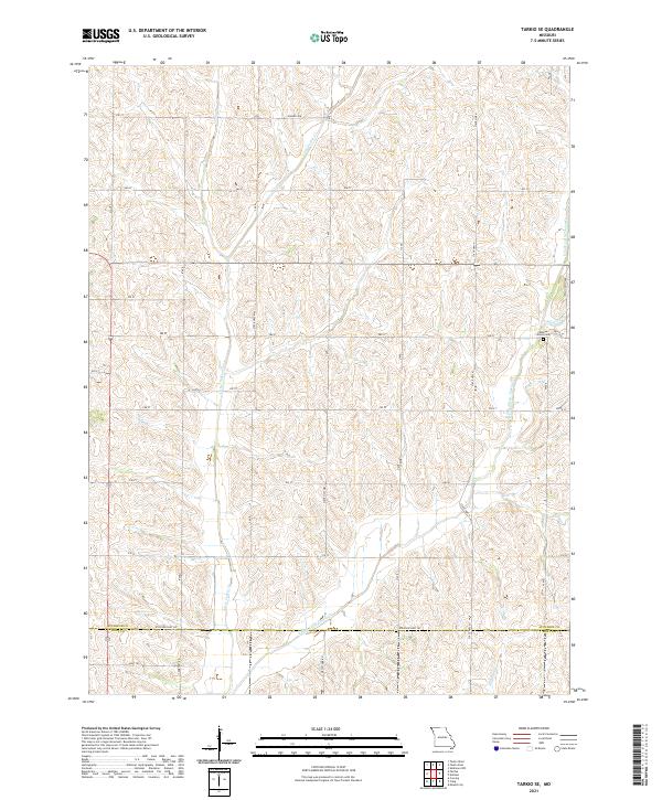 2021 Tarkio SE2021 Print · USGSAtchison and Holt counties were established agricultural hubs when this survey recorded the rolling drainage of the Little Tarkio Cr watershed. Genealogists can locate Walkup Grove Cem and trace old rural corridors such as Cemetery Rd and Hansen Ave.
 - 2021 Map of Mound City, 2021 Print
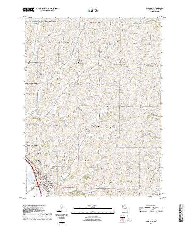
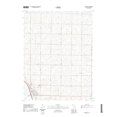 2021 Mound City2021 Print · USGSCovers Holt County, including Mound City, United States, and other nearby areas
 - 2021 Map of Langdon, 2021 Print
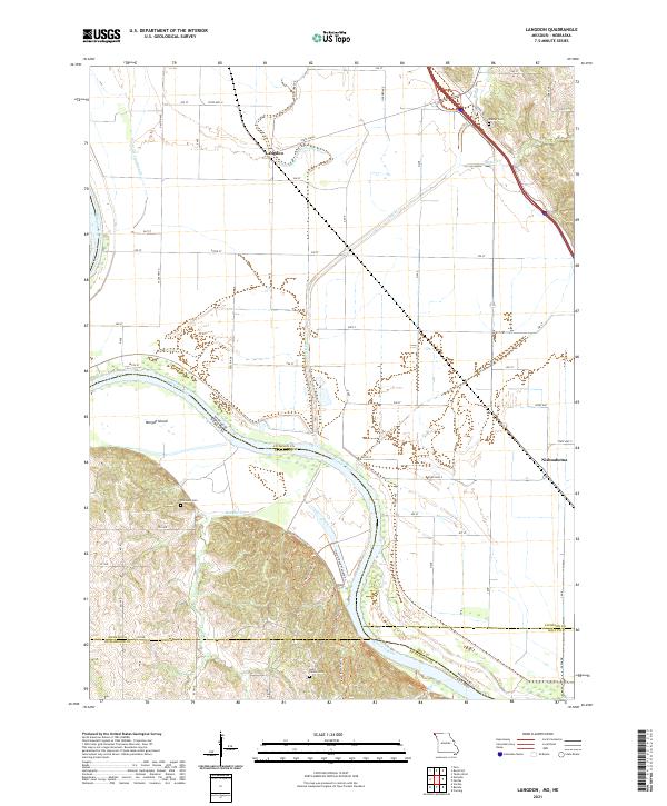 2021 Langdon2021 Print · USGSAtchison County at the Missouri-Nebraska border reveals a landscape shaped by the shifting currents of the river. Researchers can trace family history at Saint Deroin Cem or follow old watercourses like the Old Channel Nishnabotna River near Langdon.
 - 2021 Map of Corning, 2021 Print
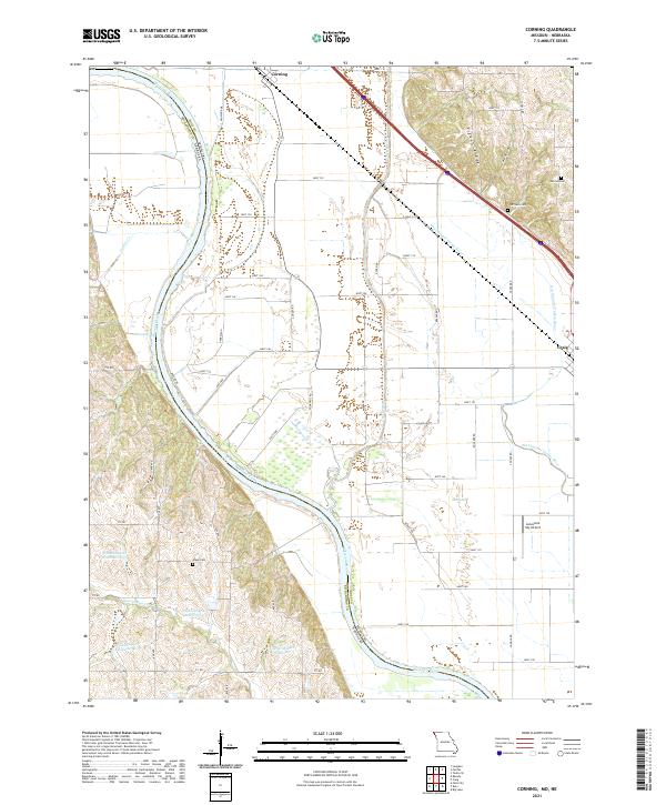 2021 Corning2021 Print · USGSThe Missouri-Nebraska borderlands along the Missouri River come into focus in this recent survey of the Holt County floodplain. Genealogists and local researchers can pinpoint family burial sites at Parrish Cem and Arago Cem or trace the winding Old Channel Tarkio River.
 - 2021 Map of Dotham, 2021 Print
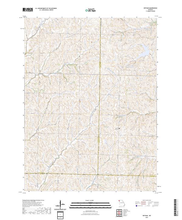
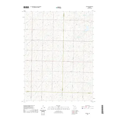 2021 Dotham2021 Print · USGSCovers Holt County, including Oswald, Dotham, and other nearby areas
 - 2021 Map of Kimsey Creek, 2021 Print
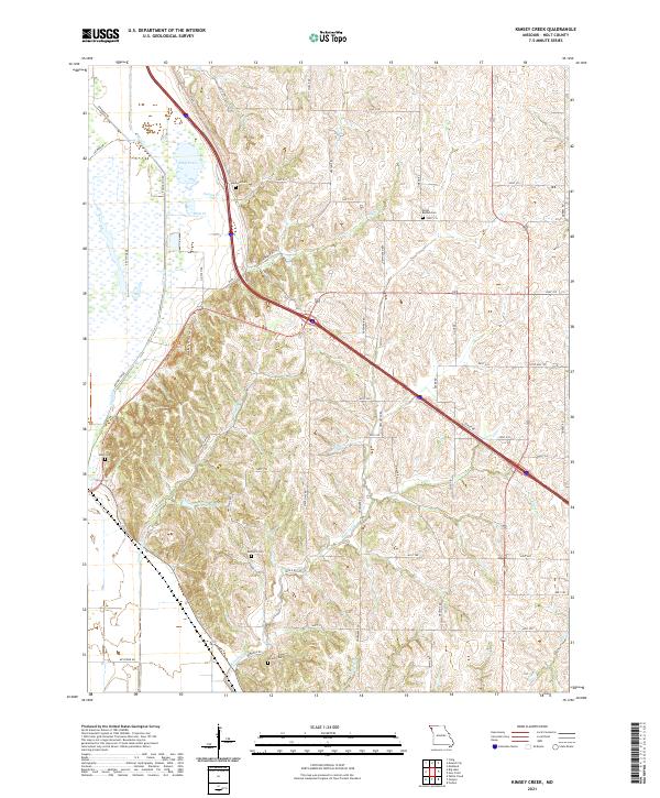 2021 Kimsey Creek2021 Print · USGSHolt County's rural landscape is mapped here in the early 2020s, showing a territory defined by winding creek valleys and family heritage. Researchers can trace local lineage through sites like South Bethel Cemetery or the Munkers Homestead Trail.
 - 2021 Map of Craig, 2021 Print
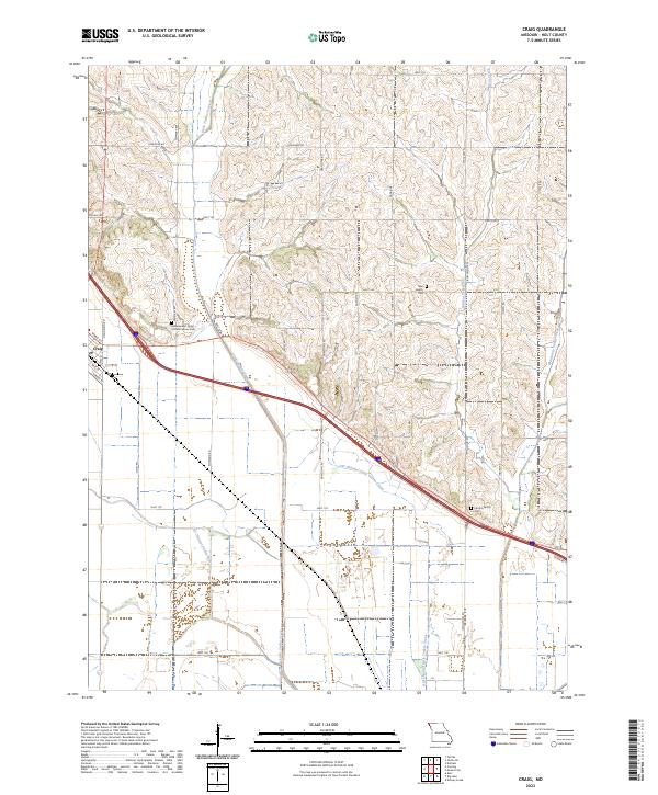
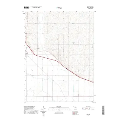 2021 Craig2021 Print · USGSCovers Holt County, including Craig, United States, and other nearby areas
 - 2021 Map of New Point, 2021 Print
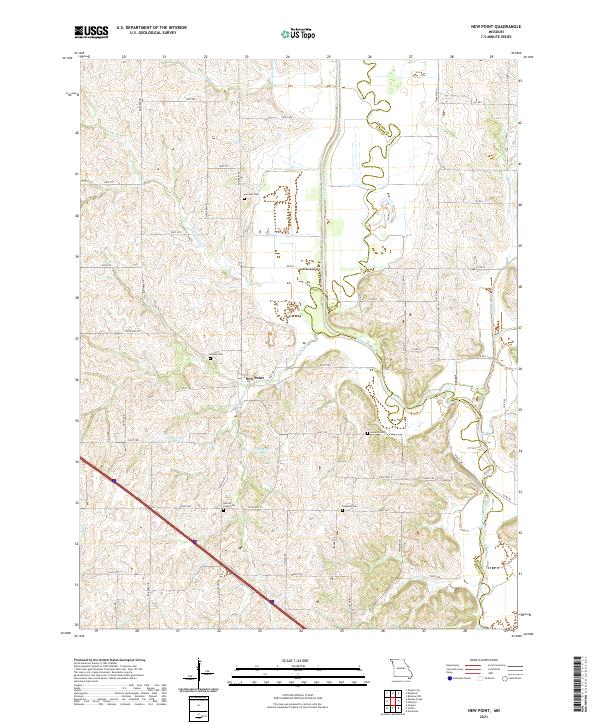 2021 New Point2021 Print · USGSHolt County's river-fed farmland and quiet rural crossroads are documented here in the early twenty-first century. Genealogists and local historians can trace family locations near New Point and several remote burial sites like Nichols Grove Cem and Nodaway Cem.
 - 2021 Map of Oregon, 2021 Print
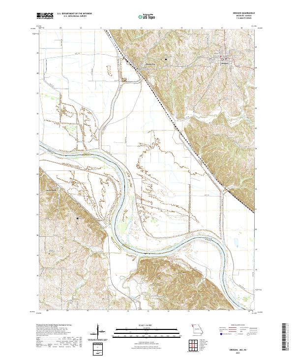 2021 Oregon2021 Print · USGSThe Missouri-Kansas borderlands come alive in this detailed look at the loess bluffs and river bottoms during the early twenty-first century. Researchers can trace the layout of Oregon and Forest City or locate family plots at Union Cem and Iowa Point Cem.
 - 2021 Map of Forbes, 2021 Print
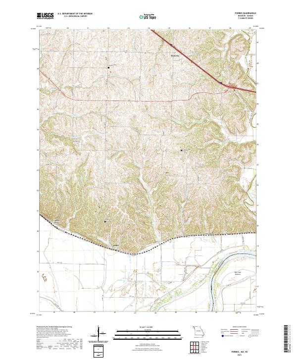 2021 Forbes2021 Print · USGSThe Missouri River bluffs and floodplain in Holt County come alive here in the 2020s. Researchers can trace family history at Brodback Cem or locate the rural settlements of Forbes and Richville among the hollows and bottoms.
 - 2021 Map of Maitland, 2021 Print
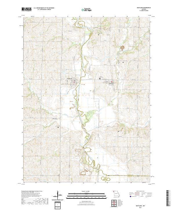 2021 Maitland2021 Print · USGSMaitland and Graham sit on opposite banks of the meandering Nodaway River in this contemporary survey of the Missouri borderlands. Researchers can locate several family and community burial sites including Groves Cemetery, Linville Cemetery, and Schooler Cemetery.
 - 2021 Map of Skidmore, 2021 Print
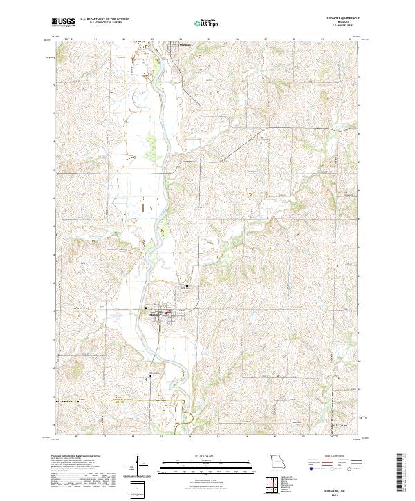 2021 Skidmore2021 Print · USGSThe Nodaway River valley in the early 2020s remains a landscape of quiet rural settlements and family cemeteries. Genealogists and local historians can trace the grid of Skidmore, locate Hillcrest Cem, and follow the banks of Florida Cr through the countryside.
 - 2021 Map of Big Lake, 2021 Print
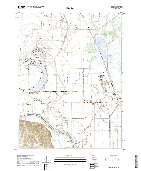
 2021 Big Lake2021 Print · USGSCovers Holt County, including Big Lake, Fortescue, and other nearby areas
 - 2021 Map of Fairfax, 2021 Print
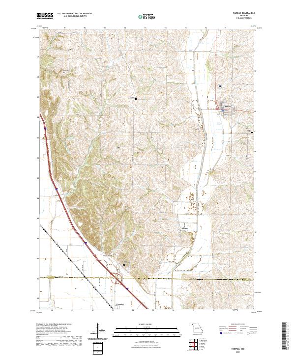 2021 Fairfax2021 Print · USGSNorthwestern Missouri's agricultural heartland is documented here in the early twenty-first century, centered on the community of Fairfax. Genealogists can trace family landmarks across several rural burial grounds, including English Grove Cemetery, Mount Hope Cemetery, and Beck Cemetery.
 - 2021 Map of Amazonia, 2021 Print
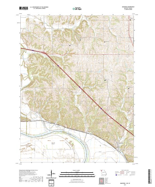 2021 Amazonia2021 Print · USGSThe Missouri River bluffs and lowlands of Andrew County are captured here in the early 2020s. Genealogists can locate several rural burial grounds like Jackson Cem and Hackberry Cem, while tracing the rail corridor of the BNSF RAILWAY through Amazonia.
 - 2021 Map of Rulo, 2021 Print
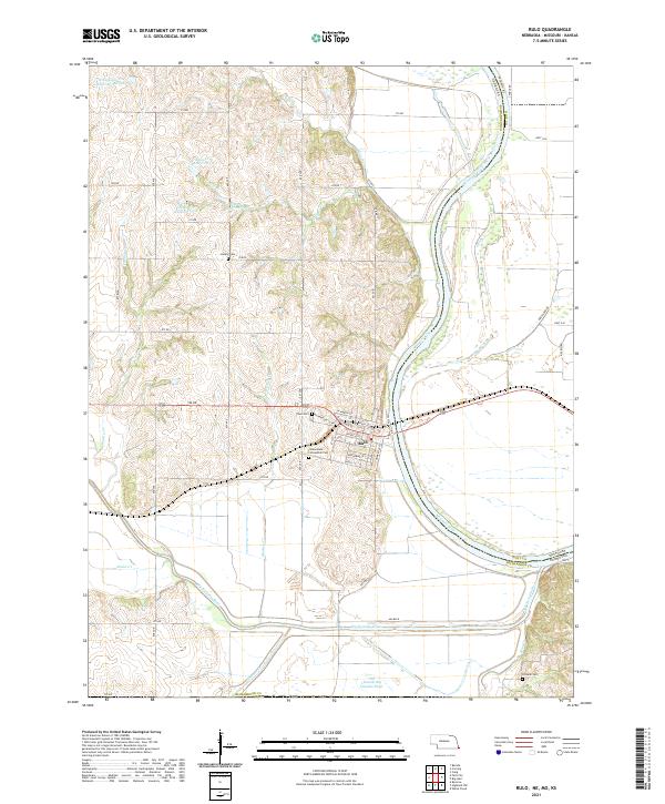 2021 Rulo2021 Print · USGSSoutheast Nebraska meets Missouri at the river bend during the early 2020s. Genealogists and local historians can trace the streets of Rulo and locate rural burial sites such as Heater Cem and Franklin Cem among the Missouri River bluffs.
 - 2021 Map of Barada, 2021 Print
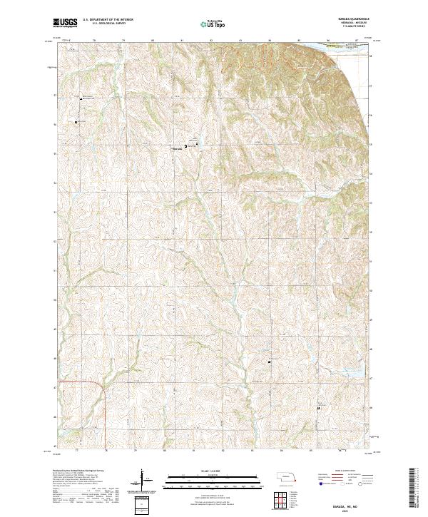 2021 Barada2021 Print · USGSRichardson County, Nebraska, near the Missouri River is documented here in the early twenty-first century. Genealogists can locate several local burial sites including Saint Anns Cem, Moorhead Cem, and Fricke Cem near the settlement of Barada.
 - 2022 Map of White Cloud, 2022 Print
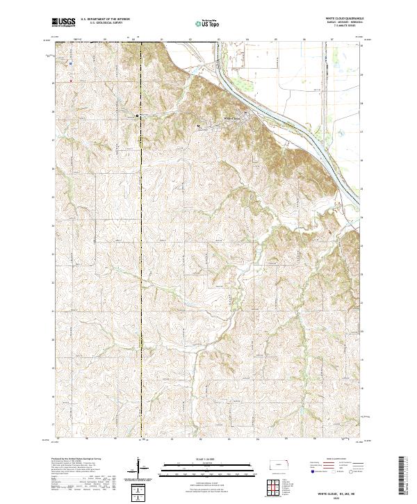 2022 White Cloud2022 Print · USGSThe riverside community of White Cloud and the rugged bluffs of the Missouri River valley are documented in this contemporary survey. Local researchers can trace family landmarks like Olive Branch Cem, Tesson Cem, and the high ridges of Chalk Bluff.
 - 2022 Map of Sparks, 2022 Print
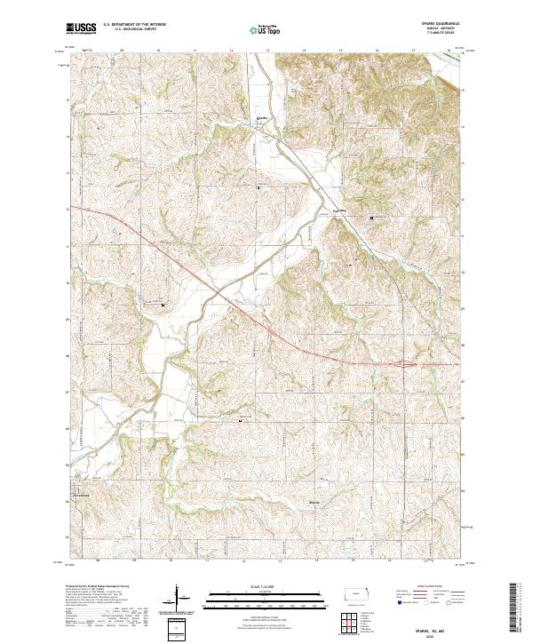 2022 Sparks2022 Print · USGSDoniphan County remains a landscape of quiet agricultural tradition in this recent survey. Researchers can trace family history through local burial sites like Iola Cem or Burrell Cem and locate the crossroads of Sparks and Fanning.
 - 2022 Map of Troy, 2022 Print
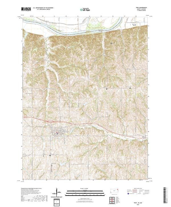 2022 Troy2022 Print · USGSTroy and the surrounding northeast Kansas bluffs are captured here in the early twenty-first century as the Missouri River skirts the county line. Genealogists can trace family sites across several rural burial grounds like Saint Charles Cem and New Hope Cem.
 - 2023 Map of Big Lake, 2023 Print
 2023 Big Lake2023 Print · USGSThe Missouri River floodplain near the Nebraska border shows a landscape of former river channels and reclaimed marshlands in the early 2020s. Genealogists can locate rural burial grounds like Sauer Cem and Partlow Cem or trace the legacy of the BNSF Railway through Bigelow.
 - 2023 Map of Dotham, 2023 Print
 2023 Dotham2023 Print · USGSThe rural borderlands where Atchison, Nodaway, and Holt counties meet are shown here in the early 2020s. Researchers can trace land ties at Patterson Farms Lake Section 12 or locate the historic Burr Oak Church Cem among the many forks of Minnesota Valley Creek.
 - 2023 Map of Mound City, 2023 Print
 2023 Mound City2023 Print · USGSMound City and the fertile loess hills of Holt County are captured here in the early 2020s. Researchers can locate several burial grounds including Mount Hope Cem and Shiloh Cem, or trace watercourses through Whig Valley.
 - 2023 Map of Craig, 2023 Print
 2023 Craig2023 Print · USGSThe Missouri River floodplain and its eastern bluffs are captured here in the early 2020s, centered on the town of Craig. Researchers can trace old watercourses like the Old Channel Tarkio River or locate family plots at the Canton Family Cem and New Liberty Cem.
End of results
Showing maps 1-24 of 24
Top cities of Holt County
- Mound City historical maps
- Oregon historical maps
- Forest City historical maps
- Maitland historical maps
- Craig historical maps
- Big Lake historical maps
See more
Frequently asked questions
- What are the different types of historical maps available for Holt County?
- What is the oldest map of Holt County?
- Where can I purchase historical maps of Holt County for my home or office?
- Where can I download high-res historical maps of Holt County?
- Are there historical topographic maps available for Holt County?
- Is there historical aerial imagery available for Holt County?
- Where are historical maps of Holt County sourced from?