2010s Maps of Holt County, Missouri
Explore 63 historic maps of Holt County from the 2010s. These maps offer a rare glimpse into what life looked like during the 2010s — showing old roads, neighborhoods, homes, and landmarks that have changed or disappeared over time.
Whether you're researching your family's past, planning a metal detecting trip, or studying how Holt County's landscape evolved across the 2010s, these high-resolution maps are a powerful tool for exploring the history of this region.
- Focus on a specific era: All maps on this page are from the 2010s, giving you a focused view of this time period.
- See what’s changed: Compare century-old streets, trails, and buildings to today's modern landscape using overlays and satellite layers.
- Research with precision: Use these maps for genealogy, historical research, land use analysis, or educational projects.
- View, download, or print: Maps are fully viewable online in high resolution, and can be downloaded or printed for your own records.
Start exploring Holt County's history through authentic maps from the 2010s. This is your window into the past.
Holt County, MO maps
(63)- 2010 Map of Amazonia, 2010 Print
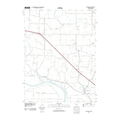 2010 Amazonia2010 Print · USGSNorth of the Missouri River in the early 2000s, this area shows the historic settlements and drainage of Andrew County. Genealogists can locate several family-named landmarks and rural burial sites like Old Union Cemetery, Jackson Cemetery, and Nodaway.
 - 2010 Map of Big Lake, 2010 Print
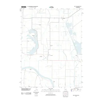 2010 Big Lake2010 Print · USGSThe Missouri River floodplains of Holt County are captured here in the early twenty-first century, showing a landscape defined by oxbows and river management. Researchers can trace family history through sites like Tarkio Chapel Cemetery or explore the shifting waters of Big Lake and the Old Channel Tarkio River.
 - 2010 Map of Rulo, 2010 Print
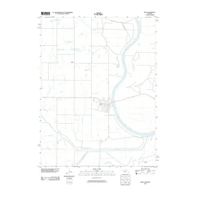 2010 Rulo2010 Print · USGSRulo and its riverside surroundings in the early twenty-first century show a landscape defined by the Missouri River and the winding Big Nemaha River. Local researchers can trace family roots at Heater Cemetery or Franklin Cemetery and study the complex waterways of the Old Channel Big Nemaha River.
 - 2011 Map of Barada, 2011 Print
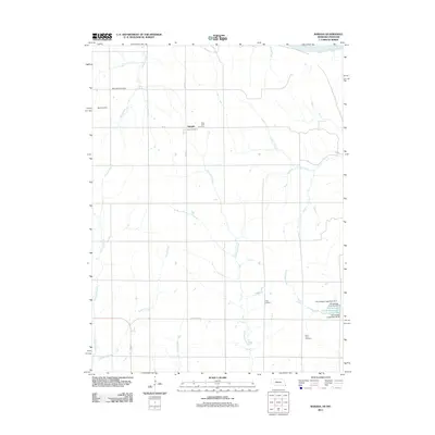 2011 Barada2011 Print · USGSThe rural landscape of Richardson County is documented here in the early 2000s, showing a grid of farm roads and quiet settlements near the Missouri River. Researchers can trace local heritage through several small burial grounds like Harris Cemetery and Saint John Cemetery or locate landmarks such as Saint Anns and Barada.
 - 2011 Map of Rulo, 2011 Print
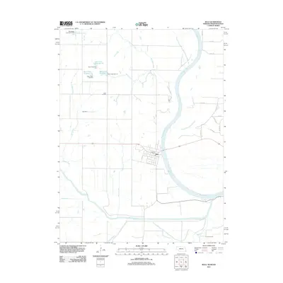 2011 Rulo2011 Print · USGSThe riverfront town of Rulo and the surrounding tri-state border region are mapped here during the early twenty-first century. Genealogists and researchers can locate family sites at Heater Cemetery and Franklin Cemetery or trace the water management systems of Bean Creek and Mooney Creek.
 - 2011 Map of Forbes, 2011 Print
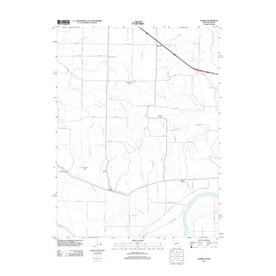 2011 Forbes2011 Print · USGSIn this 2011 survey of Holt County, the Missouri riverfront meets a landscape of rural cemeteries and winding creek branches. Genealogists and local historians can trace the areas around Forbes, Richville, and sites like Brodback Cemetery or the Mark Twain Air Strip.
 - 2012 Map of Oregon, 2012 Print
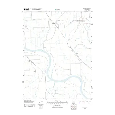 2012 Oregon2012 Print · USGSThe Missouri-Kansas borderlands are captured here in the early twenty-first century, showing the river's path between the bluffs. Genealogists can locate Forest City Cemetery and Martin Cemetery or trace old routes near Curzon and Iowa Point.
 - 2012 Map of Fairfax, 2012 Print
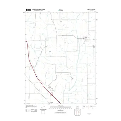 2012 Fairfax2012 Print · USGSFairfax and the surrounding Atchison County countryside appear in clear detail during the early twenty-first century. Local historians can trace family roots at Mount Hope Cemetery or Beck Cemetery and locate rural landmarks like Steele Airport.
 - 2012 Map of New Point, 2012 Print
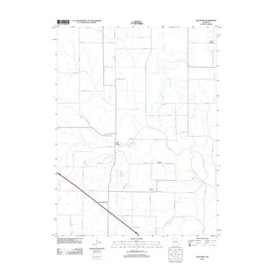 2012 New Point2012 Print · USGSHolt County's agricultural heartland is documented here in the early twenty-first century, showing a landscape defined by the winding Nodaway River. Family researchers can locate rural landmarks such as Fairview Cemetery, Nichols Grove, and the small community of New Point.
 - 2012 Map of Tarkio SE, 2012 Print
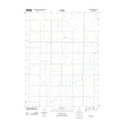 2012 Tarkio SE2012 Print · USGSAtchison County's agricultural grid and drainage basins are captured here in the early twenty-first century. Genealogists and local historians can locate the Walkup Cemetery or trace the winding courses of Little Tarkio Creek and Wildcat Creek.
 - 2012 Map of Kimsey Creek, 2012 Print
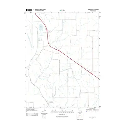 2012 Kimsey Creek2012 Print · USGSHolt County's rural landscape is captured here in the early twenty-first century, showing a network of agricultural roads and small creek valleys. Researchers can locate numerous family burial sites such as Baldwin Cemetery, Roderick Cemetery, and Wilson Cemetery.
 - 2012 Map of Maitland, 2012 Print
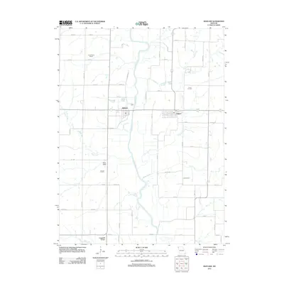 2012 Maitland2012 Print · USGSThis corner of Northwest Missouri reflects a quiet rural character in the early twenty-first century, defined by its river-valley agriculture. Researchers can trace land ties through Linville Cemetery, the settlement at Graham, and family-named landmarks like Wiley Lake.
 - 2012 Map of Langdon, 2012 Print
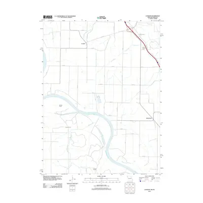 2012 Langdon2012 Print · USGSThe Missouri-Nebraska borderlands are shown in detail during the early 2010s, where the great river bend dictates the rural landscape. Genealogists can locate family sites at Hunter Cemetery or Hillsdale Cemetery and trace the former path of the Old Channel Nishnabotna River.
 - 2012 Map of Craig, 2012 Print
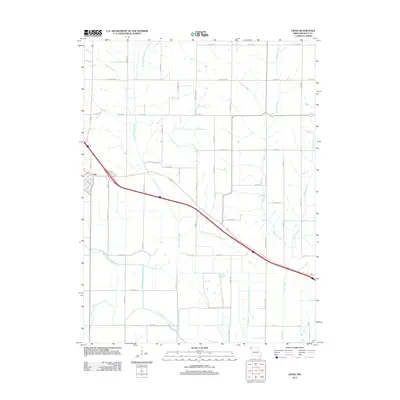 2012 Craig2012 Print · USGSMissouri's agricultural heartland in Holt County is captured here in the early twenty-first century, showcasing a landscape shaped by drainage and rail. Genealogists and local historians can trace the town of Craig and follow the paths of the Old Channel Tarkio River and Squaw Creek.
 - 2012 Map of Mound City, 2012 Print
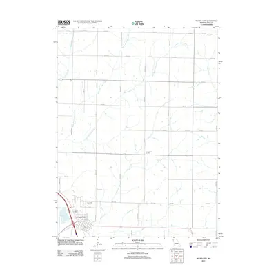 2012 Mound City2012 Print · USGSMound City and the fertile Holt County uplands are captured here in the early twenty-first century. Genealogists and local researchers can locate family sites near Mount Hope Cemetery, Center District Cemetery, and the Hall Landing Strip.
 - 2012 Map of Dotham, 2012 Print
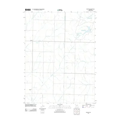 2012 Dotham2012 Print · USGSAgricultural life in Atchison County is captured here in the early 2010s. Researchers can trace rural settlement patterns near Dotham and Oswald or locate the numerous water bodies of Patterson Farms Lake Section 13.
 - 2012 Map of Amazonia, 2012 Print
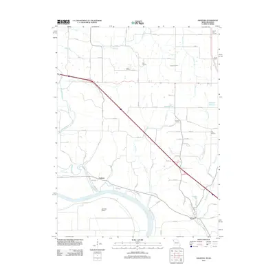 2012 Amazonia2012 Print · USGSThe Missouri River bottoms and upland hills of Andrew County appear in this 2012 survey. Researchers can trace rural cemeteries like Old Union Cemetery and Hackberry Cemetery alongside the settlements of Amazonia and Nodaway.
 - 2012 Map of Corning, 2012 Print
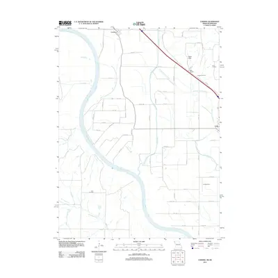 2012 Corning2012 Print · USGSThe Missouri River valley in the early twenty-first century reveals a intricate network of old channels and rural settlements. You can trace the shifting course of the Old Channel Tarkio River and locate local burial sites like Arago Cemetery and Williams Cemetery.
 - 2012 Map of Skidmore, 2012 Print
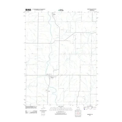 2012 Skidmore2012 Print · USGSNodaway County at the start of the 2010s shows a landscape defined by the Nodaway River and its many tributary creeks. Genealogists and local researchers can locate several historic burial sites, including Smith Cemetery and the Masonic Cemetery near Skidmore.
 - 2012 Map of Big Lake, 2012 Print
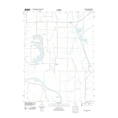 2012 Big Lake2012 Print · USGSHolt County's riverfront landscape is defined by its sweeping oxbows and managed wetlands in the early twenty-first century. Researchers can trace the remnant paths of the Old Channel Tarkio River or locate the settlements of Bigelow and Fortescue near the banks of Big Lake.
 - 2012 Map of Sparks, 2012 Print
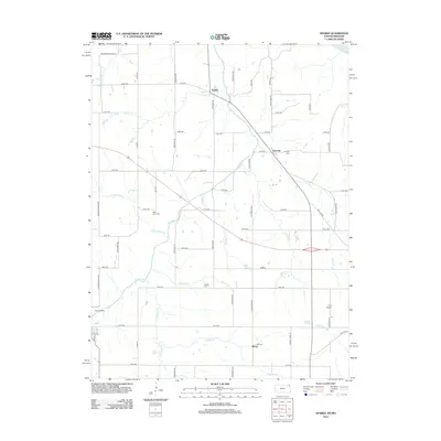 2012 Sparks2012 Print · USGSIn the early twenty-first century, the rural valleys of Doniphan County remain defined by the winding Wolf River and its many named tributaries. Genealogists and local historians can trace the locations of Fanning, Moray, and several family burial grounds like Burrell Cem.
 - 2012 Map of Troy, 2012 Print
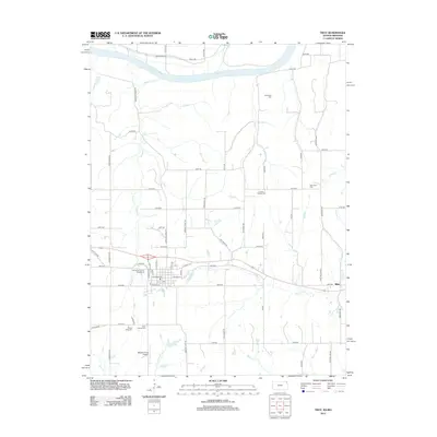 2012 Troy2012 Print · USGSDoniphan County is documented here in the early twenty-first century as a land of Missouri River bluffs and deep agricultural roots. Researchers can locate family sites and cemeteries like Saint Charles Cem, the village of Blair, or the Doniphan County Fairgrounds.
 - 2012 Map of White Cloud, 2012 Print
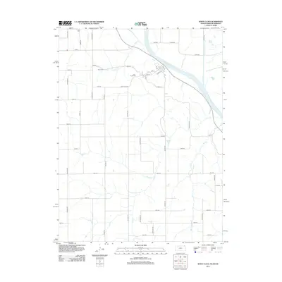 2012 White Cloud2012 Print · USGSDoniphan County at the Missouri River border is shown here in the early twenty-first century, featuring the river bluffs and rural road networks. Researchers can trace family plots at Tesson Cem and Partlow Cem or follow the paths of Mill Cr and Squaw Cr.
 - 2014 Map of Rulo, 2014 Print
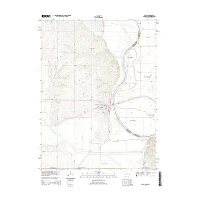 2014 Rulo2014 Print · USGSThe river town of Rulo is captured here as it appeared in the early 21st century, situated where the Nebraska, Missouri, and Kansas borders converge. Genealogists and local historians can trace family locations near Heater Cemetery or follow the winding Old Channel Big Nemaha River through the valley.
 - 2014 Map of Barada, 2014 Print
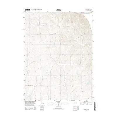 2014 Barada2014 Print · USGSSoutheast Nebraska's river bluffs are captured here in the mid-2010s, showing a rural landscape defined by the Missouri River and deep-seated family history. Genealogists can trace several remote burial sites including Fricke Cem, Saint John Cem, and Berg Cem.
Showing maps 1-25 of 63
Top cities of Holt County
- Mound City historical maps
- Oregon historical maps
- Forest City historical maps
- Maitland historical maps
- Craig historical maps
- Big Lake historical maps
See more
Frequently asked questions
- What are the different types of historical maps available for Holt County?
- What is the oldest map of Holt County?
- Where can I purchase historical maps of Holt County for my home or office?
- Where can I download high-res historical maps of Holt County?
- Are there historical topographic maps available for Holt County?
- Is there historical aerial imagery available for Holt County?
- Where are historical maps of Holt County sourced from?