2020s Maps of Howell County, Missouri
Explore 28 historic maps of Howell County from the 2020s. These maps offer a rare glimpse into what life looked like during the 2020s — showing old roads, neighborhoods, homes, and landmarks that have changed or disappeared over time.
Whether you're researching your family's past, planning a metal detecting trip, or studying how Howell County's landscape evolved across the 2020s, these high-resolution maps are a powerful tool for exploring the history of this region.
- Focus on a specific era: All maps on this page are from the 2020s, giving you a focused view of this time period.
- See what’s changed: Compare century-old streets, trails, and buildings to today's modern landscape using overlays and satellite layers.
- Research with precision: Use these maps for genealogy, historical research, land use analysis, or educational projects.
- View, download, or print: Maps are fully viewable online in high resolution, and can be downloaded or printed for your own records.
Start exploring Howell County's history through authentic maps from the 2020s. This is your window into the past.
Howell County, MO maps
(28)- 2020 Map of Viola, 2020 Print
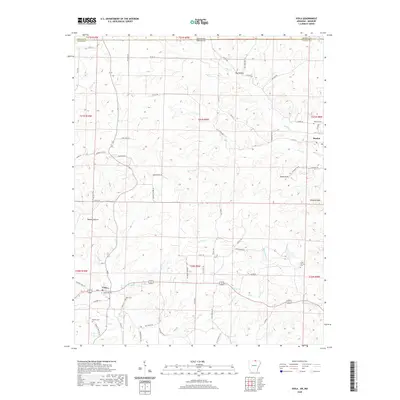 2020 Viola2020 Print · USGSUpper Fulton County sits at the Missouri border in this recent survey of the rural Arkansas Ozarks. Genealogists and local historians can trace family roots through several landmarks including Viola Cem, Gum Spring Cem, and the settlement of Sturkie.
 - 2020 Map of Camp, 2020 Print
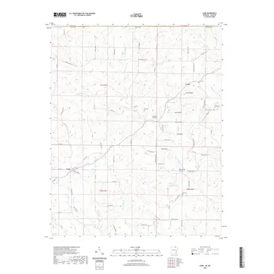 2020 Camp2020 Print · USGSNorth-central Arkansas meets the Missouri border in this modern survey of the Ozark uplands near Camp. Researchers can trace the layout of rural communities and historic burial sites like Shiloh Cem, Fryatt Cem, and Bethel Cem.
 - 2020 Map of Salem Knob, 2020 Print
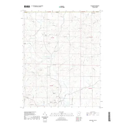 2020 Salem Knob2020 Print · USGSFulton County and the Arkansas-Missouri border are shown in detail here during the modern era. Researchers can trace family history through local landmarks like Hunter Cem and established settlements such as Moko, Sturkie, and Salem.
 - 2020 Map of Gepp, 2020 Print
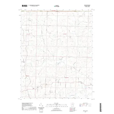 2020 Gepp2020 Print · USGSThe Arkansas-Missouri borderlands come into focus in this modern survey of Fulton County, showing the rural communities of Viola and Gepp at the decade's start. Researchers can locate family landmarks like Gobbler Trot Cem and trace the paths of Bennetts River and Lake Bertie.
 - 2021 Map of South Fork, 2021 Print
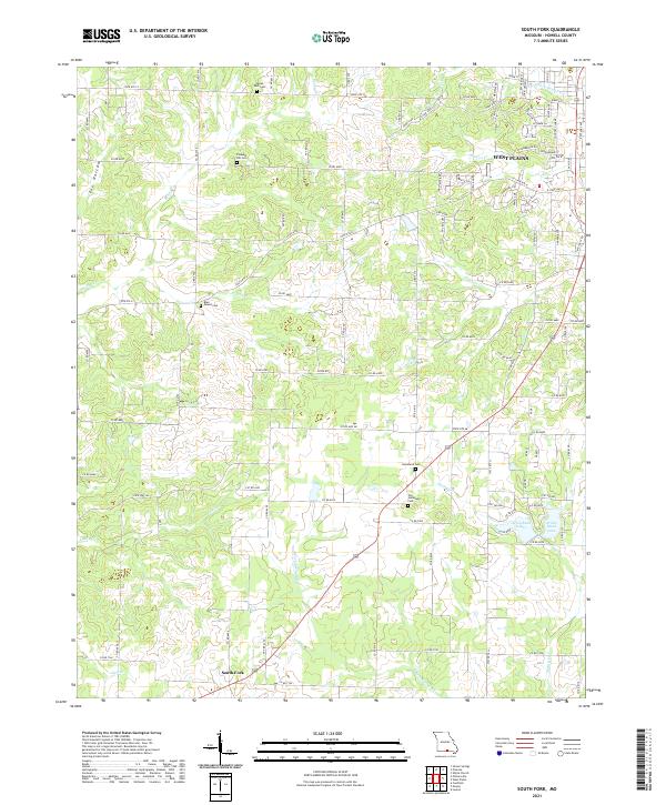 2021 South Fork2021 Print · USGSHowell County at the start of the 2020s shows the suburban expansion of West Plains meeting the traditional farmsteads of South Fork. Researchers can trace local heritage through several burial sites like Pleasant Hill Cem and Old Homeland Cem along the S Fork Spring River.
 - 2021 Map of Pomona, 2021 Print
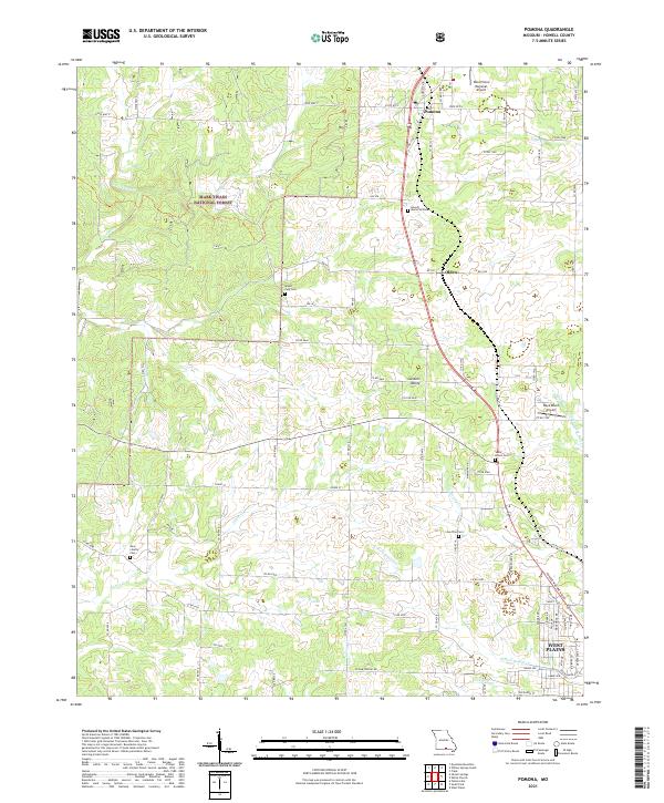 2021 Pomona2021 Print · USGSHowell County's Ozark plateau is captured here during its contemporary era of growth north of the county seat. Researchers can trace ancestral locations through rural landmarks like New Liberty Cem, Mount Zion Cem, and the settlement of Olden.
 - 2021 Map of Willow Springs North, 2021 Print
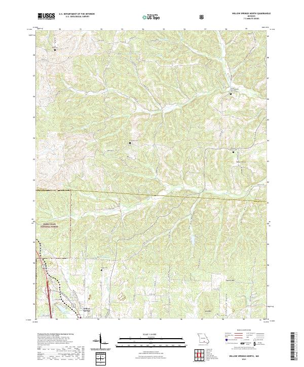 2021 Willow Springs North2021 Print · USGSThe Ozark highlands on the border of Texas and Howell counties are documented here in the early twenty-first century. Genealogists and local historians can locate several rural burial sites and landmarks, including Dutch Cem, Nease Cem, and Moores Chapel Methodist Church.
 - 2021 Map of Pine Crest, 2021 Print
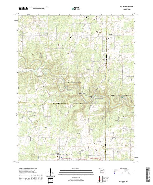 2021 Pine Crest2021 Print · USGSThe Missouri Ozarks are captured here in the early twenty-first century, centered on the river valleys of Texas and Shannon Counties. Genealogists and hikers can trace old river crossings like Ratcliff Ford or locate several remote burying grounds including Arroll Cem and Cold Springs Cem.
 - 2021 Map of Lanton, 2021 Print
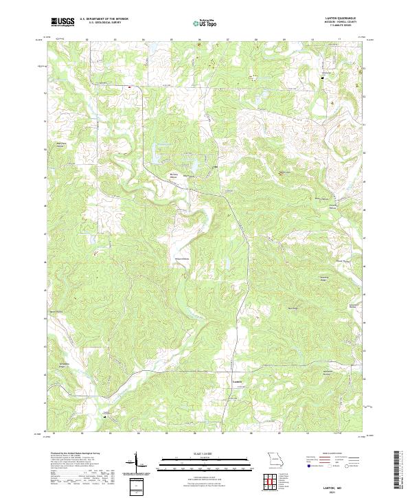 2021 Lanton2021 Print · USGSThe community of Lanton and the surrounding Howell County uplands are documented here as they appeared in the early 2020s. Researchers can locate family sites at the Meltabarger Cem or trace the drainage of the S Fork Spring River through Wilson Hollow.
 - 2021 Map of Clear Springs, 2021 Print
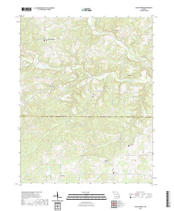 2021 Clear Springs2021 Print · USGSTexas and Howell Counties appear here during a contemporary period, showing the rugged headwaters of the Jacks Fork. Genealogists can locate several family and community burial sites such as Clear Springs Cem and New Salem Cem, alongside the settlement at Hattie.
 - 2021 Map of Willow Springs South, 2021 Print
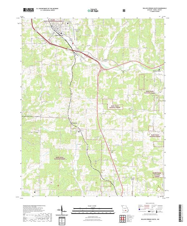 2021 Willow Springs South2021 Print · USGSWillow Springs and the neighboring Ozark highlands are captured here during a period of modern growth within the Mark Twain National Forest. Researchers can trace old family burial sites like Burnham Cem and Epps Cem or locate the historic Hutton Valley community.
 - 2021 Map of Trask, 2021 Print
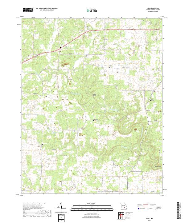 2021 Trask2021 Print · USGSHowell County, Missouri, is captured in this recent survey of the rural communities and natural Ozark drainages. Family historians can locate numerous burial sites across the landscape, including Walker's Chapel Cem, Center Hill Cem, and Bolin Cem.
 - 2021 Map of Caulfield, 2021 Print
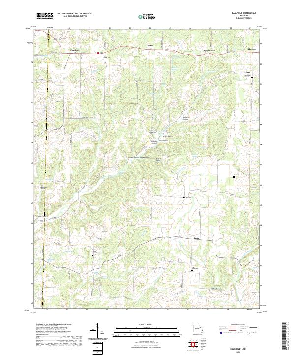 2021 Caulfield2021 Print · USGSHowell County at the turn of the decade is a landscape of springs and hollows centered around the community of Caulfield. Genealogists and local historians can trace family locations through sites like Shady Grove Cem, Limekiln Spring, and Amy Union Chapel Cem.
 - 2021 Map of Peace Valley, 2021 Print
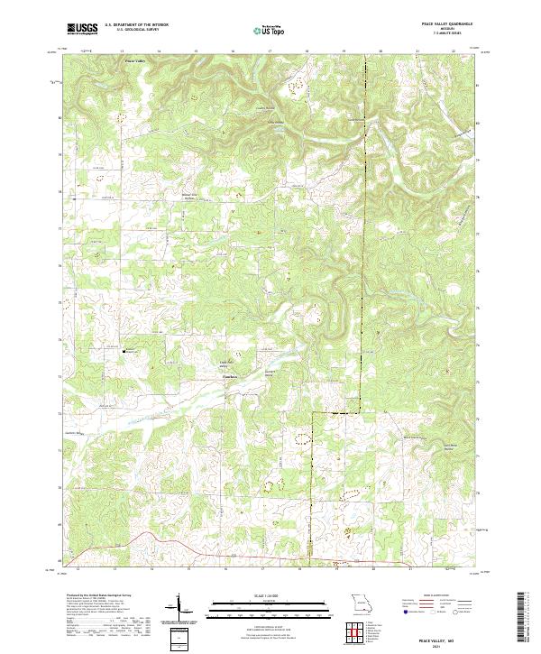 2021 Peace Valley2021 Print · USGSHowell and Oregon counties at the start of the 2020s show a landscape of deep hollows and the spring-fed Eleven Point River system. Genealogists and local historians can trace family locations near Bennett Chapel Cem or the settlements of Peace Valley and Fanchon.
 - 2021 Map of White Church, 2021 Print
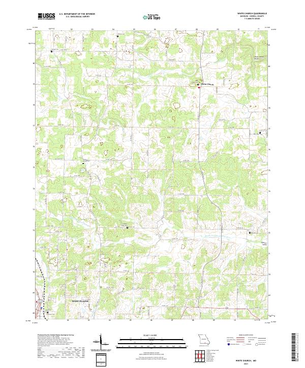 2021 White Church2021 Print · USGSHowell County's rural character is on display in this contemporary study of the Missouri Ozarks. Researchers can trace family history through a high density of rural burial grounds like Saint Joseph Cemetery and Dripping Springs Cemetery near the Middle Fork Eleven Point River.
 - 2021 Map of Brandsville, 2021 Print
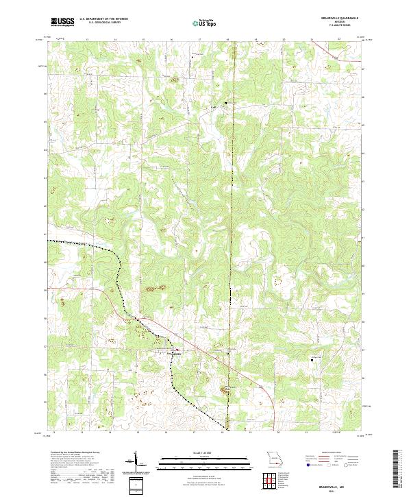 2021 Brandsville2021 Print · USGSSettled along the Howell and Oregon county line, this modern Ozark survey captures the rural character of the Brandsville area. Genealogists can locate several historic burial sites, including Elk Creek Cem and Francis Cem, near the waters of Big Greasy Creek.
 - 2021 Map of Dyestone Mountain, 2021 Print
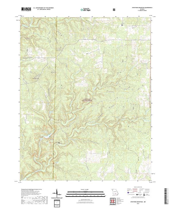 2021 Dyestone Mountain2021 Print · USGSThe Missouri Ozarks are captured here at the Douglas and Howell county line within the Mark Twain National Forest. Genealogists and hikers can trace the geography of Pine Grove Cem, the Liberty School, and the rugged creek basins of Noblett Cr.
 - 2021 Map of West Plains, 2021 Print
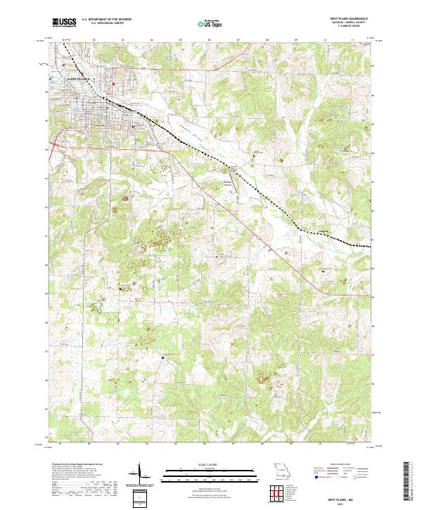 2021 West Plains2021 Print · USGSThe Ozark plateau town of West Plains is shown in its contemporary role as a college town and county seat. Local historians can trace family roots at Oak Lawn Cemetery or explore the drainage of Howell Creek and the settlement at Chapin.
 - 2021 Map of Koshkonong, 2021 Print
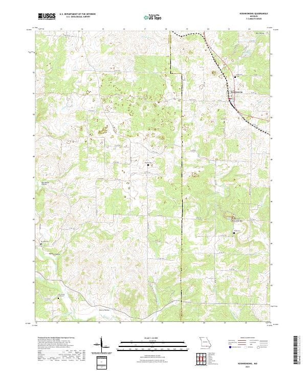 2021 Koshkonong2021 Print · USGSKoshkonong and the rugged borderlands of Howell and Oregon counties appear here in great detail during the early twenty-first century. Genealogists can trace family burial sites at Mint Spring Graveyard and Shiloh Cem or explore the geography of Grand Gulf Natural Bridge.
 - 2021 Map of Mountain View, 2021 Print
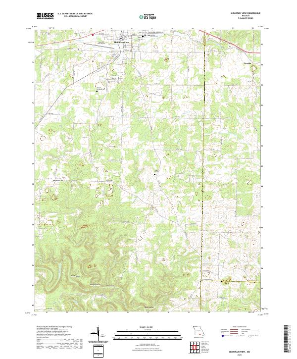 2021 Mountain View2021 Print · USGSThe northern Ozarks come into focus in the early 2020s as Mountain View thrives along its central transportation corridors. Local historians can trace the town's expansion toward Mountain View Airport and locate several rural burial grounds like Chapel Hill Cem and Ebenezer Cem.
 - 2021 Map of Pottersville, 2021 Print
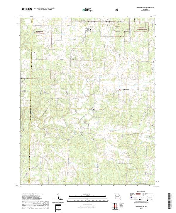 2021 Pottersville2021 Print · USGSHowell County's wooded hollows and ridges are mapped here as they appeared in the early 2020s. Genealogists can trace family names through numerous rural burial sites like Ledbetter Cemetery, Setzer Cemetery, and the community of Pottersville.
 - 2021 Map of Moody, 2021 Print
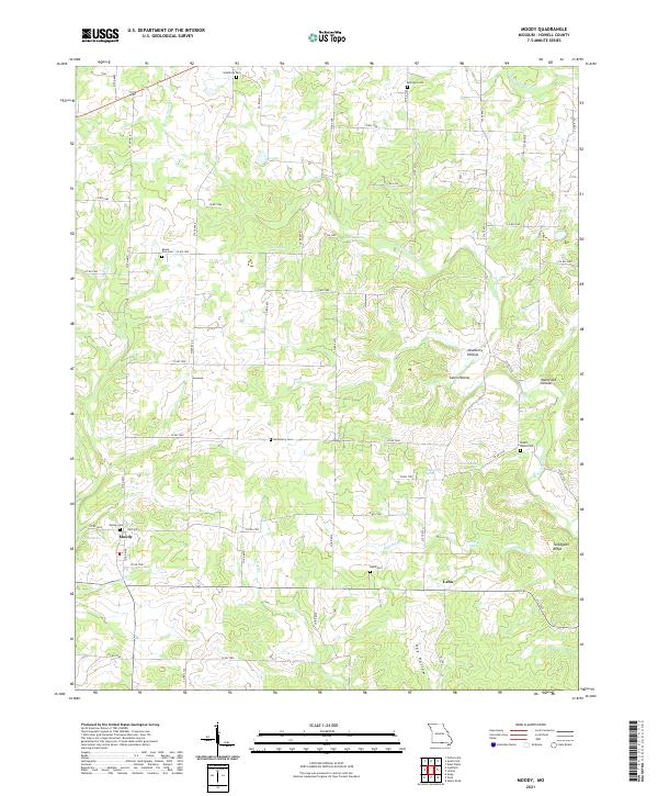 2021 Moody2021 Print · USGSThis Howell County survey documents the southern Missouri landscape near the border at the start of the 2020s. Researchers can locate several remote burial sites like Mount Zion Cem and trace the paths of Elkhorn Br and W Fork Spring Cr.
 - 2021 Map of Siloam Springs, 2021 Print
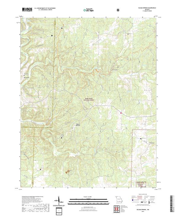 2021 Siloam Springs2021 Print · USGSHowell County's Ozark highlands are captured here in the early twenty-first century, showing the rural communities of Siloam Springs and Roosevelt. Researchers can trace local family history through several sites like Thornton - Roosevelt Cem and Mitts Cem.
 - 2021 Map of Cabool SE, 2021 Print
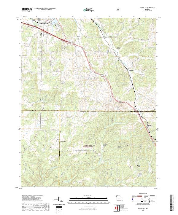 2021 Cabool SE2021 Print · USGSThe Ozark plateau south of Cabool comes into focus in this recent survey, capturing the rural communities of Sargent and Sterling. Genealogists can trace burial sites at Cedar Bluff Cem and Jones Cem across the wooded ridges of Mark Twain National Forest.
 - 2024 Map of Gepp, 2024 Print
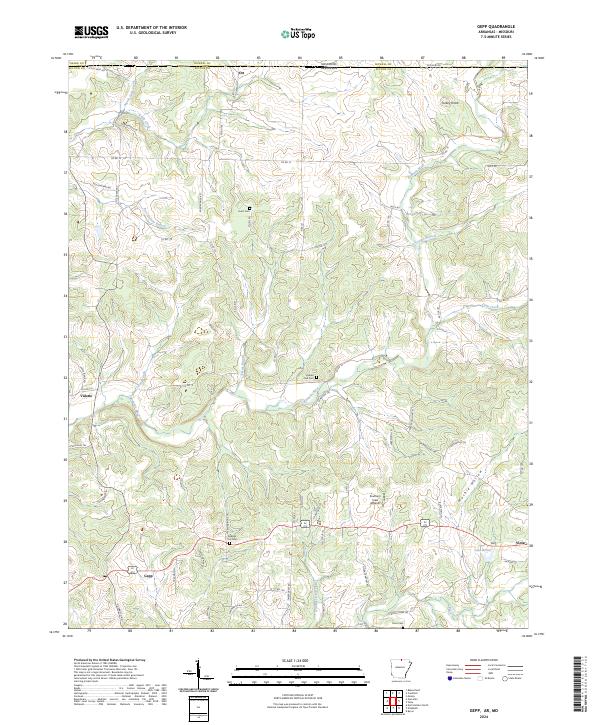 2024 Gepp2024 Print · USGSThe Missouri-Arkansas border region in the early twenty-first century is defined by its winding waterways and scattered hill communities. Researchers can trace local heritage through landmarks like Gobbler Trot Cem, the settlement at Gepp, and the course of Bennetts River.
Showing maps 1-25 of 28
Top cities of Howell County
- West Plains historical maps
- Mountain View historical maps
- Willow Springs historical maps
- Brandsville historical maps
Frequently asked questions
- What are the different types of historical maps available for Howell County?
- What is the oldest map of Howell County?
- Where can I purchase historical maps of Howell County for my home or office?
- Where can I download high-res historical maps of Howell County?
- Are there historical topographic maps available for Howell County?
- Is there historical aerial imagery available for Howell County?
- Where are historical maps of Howell County sourced from?