2010s Maps of Howell County, Missouri
Explore 72 historic maps of Howell County from the 2010s. These maps offer a rare glimpse into what life looked like during the 2010s — showing old roads, neighborhoods, homes, and landmarks that have changed or disappeared over time.
Whether you're researching your family's past, planning a metal detecting trip, or studying how Howell County's landscape evolved across the 2010s, these high-resolution maps are a powerful tool for exploring the history of this region.
- Focus on a specific era: All maps on this page are from the 2010s, giving you a focused view of this time period.
- See what’s changed: Compare century-old streets, trails, and buildings to today's modern landscape using overlays and satellite layers.
- Research with precision: Use these maps for genealogy, historical research, land use analysis, or educational projects.
- View, download, or print: Maps are fully viewable online in high resolution, and can be downloaded or printed for your own records.
Start exploring Howell County's history through authentic maps from the 2010s. This is your window into the past.
Howell County, MO maps
(72)- 2011 Map of Camp, 2011 Print
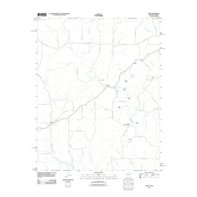 2011 Camp2011 Print · USGSFulton County near the Missouri border in the early 21st century reveals a landscape of family-run farms and traditional hollows. Genealogists can trace family roots at Shiloh Cemetery and Kerby Cemetery or explore the rural hubs of Camp and Fryatt.
 - 2011 Map of Salem Knob, 2011 Print
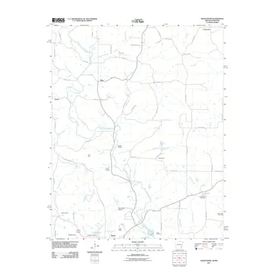 2011 Salem Knob2011 Print · USGSThe borderlands of northern Arkansas and southern Missouri are captured here in the early 2000s, centered on the community of Salem. Researchers can trace old family lines near Hunter Cemetery and explore the rugged topography of Salem Knob and Sweat Hollow.
 - 2011 Map of Viola, 2011 Print
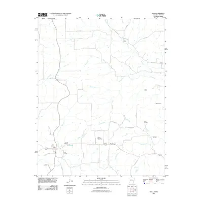 2011 Viola2011 Print · USGSViola and the surrounding Ozark foothills are captured here in the early twenty-first century as a landscape of rural communities and winding creeks. Genealogists and local historians can locate family landmarks such as Viola Cemetery, Hay Hollow, and Wildcat Knob.
 - 2011 Map of Gepp, 2011 Print
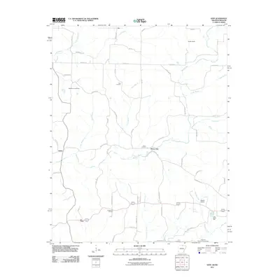 2011 Gepp2011 Print · USGSFulton County and the Arkansas-Missouri borderlands are captured here in the early 2000s, showing a landscape of family-named ridges and river valleys. Genealogists and local historians can trace family ties at Gobbler Trot Cemetery, Pickren Hall, and the settlement of Gepp.
 - 2011 Map of Peace Valley, 2011 Print
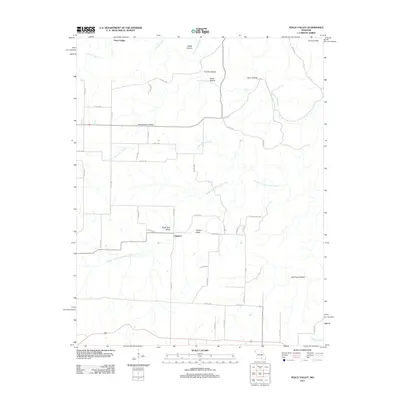 2011 Peace Valley2011 Print · USGSHowell County's rugged karst landscape is captured here during the early twenty-first century. Genealogists and local historians can trace the rural road networks connecting the settlements of Peace Valley and Fanchon with landmarks like Blowing Springs and Chalk Hole Valley.
 - 2011 Map of Willow Springs South, 2011 Print
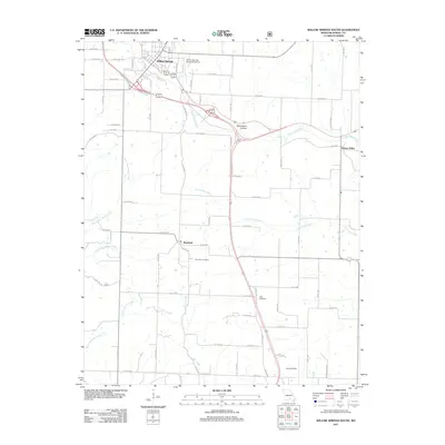 2011 Willow Springs South2011 Print · USGSHowell County at the start of the 2010s shows a landscape of deep Ozark valleys and vital transport corridors. Researchers can trace family roots through the Burnham Cemetery or follow the historic BNSF Railway as it passes through Willow Springs.
 - 2011 Map of Trask, 2011 Print
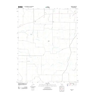 2011 Trask2011 Print · USGSHowell County's rural landscape is mapped here during the early twenty-first century, showing the small community of Trask and its surrounding countryside. Researchers can locate family landmarks such as Rowe Cemetery and Lost Camp Cemetery near the banks of the Eleven Point River.
 - 2011 Map of Brandsville, 2011 Print
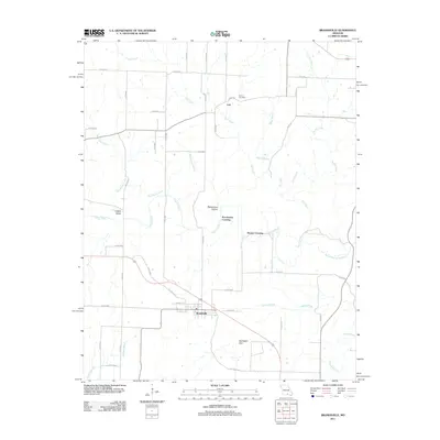 2011 Brandsville2011 Print · USGSBrandsville and its rural Howell County surroundings are captured in this early 21st-century survey during a period of steady transition. Genealogists and local historians can trace family locations near Francis Cemetery or find historic crossing points like Pocohontas Crossing and Hunter Crossing.
 - 2011 Map of Pomona, 2011 Print
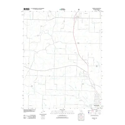 2011 Pomona2011 Print · USGSHowell County's rolling creek valleys are captured here in the early twenty-first century, centered on the historic communities of Pomona and Olden. Local researchers can trace old family sites near Lone Pine Cemetery or follow the waters of Tabor Creek and Galloway Creek.
 - 2011 Map of Lanton, 2011 Print
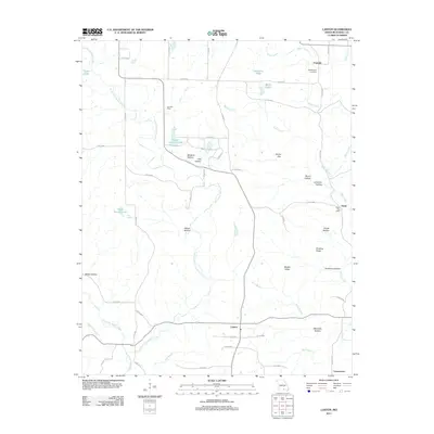 2011 Lanton2011 Print · USGSLanton and the southern Howell County countryside are shown here in the early twenty-first century as a landscape of small hamlets and family-named hollows. Researchers can trace rural landmarks including the Meltabarger Cemetery, Leo Post Office, and the varied waters of Myatt Creek.
 - 2011 Map of West Plains, 2011 Print
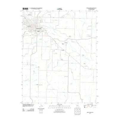 2011 West Plains2011 Print · USGSWest Plains and its rural surroundings are documented here at the start of the 2010s. Researchers can locate long-standing community markers like the Cottbus Post Office, Oaklawn Cemetery, and the Southwest Missouri State University campus.
 - 2011 Map of Pine Crest, 2011 Print
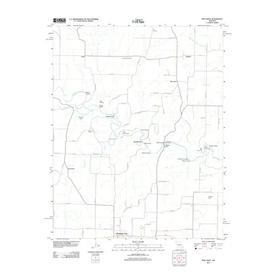 2011 Pine Crest2011 Print · USGSMountain View and the Jacks Fork river valley are captured here in the early twenty-first century, showing a landscape of rural communities and river crossings. Researchers can locate family landmarks like Harlow Cemetery, historical river spots like the Baptizing Hole, and rural centers at Arroll and Oakside.
 - 2012 Map of South Fork, 2012 Print
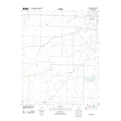 2012 South Fork2012 Print · USGSThe rural outskirts of West Plains and the South Fork valley are captured here in the early twenty-first century. Genealogists and local historians can locate Pleasant Hill Cemetery, Blue Mound Cemetery, and the community of Homeland.
 - 2012 Map of Cabool SE, 2012 Print
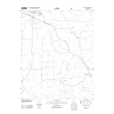 2012 Cabool SE2012 Print · USGSTexas County settlements and rural cemeteries are documented in this early twenty-first-century survey south of the Big Piney River. Researchers can trace local lineage through the Jones Cemetery and Spring Valley Cemetery or locate the Sterling Lookout Tower and John Foster Dam.
 - 2012 Map of Koshkonong, 2012 Print
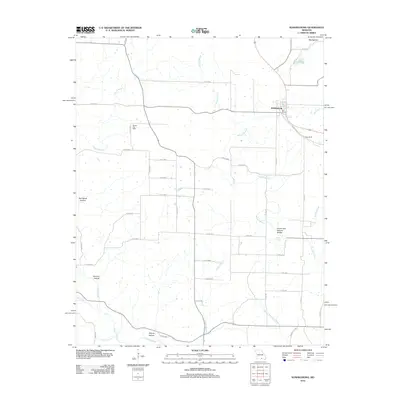 2012 Koshkonong2012 Print · USGSOregon County, Missouri, is captured here in the early twenty-first century, centered on the historic town of Koshkonong. Genealogists and hikers can trace local landmarks like the Christy Post Office and the notable Grand Gulf Natural Bridge.
 - 2012 Map of Moody, 2012 Print
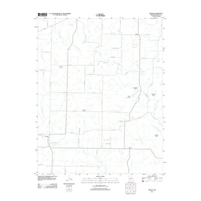 2012 Moody2012 Print · USGSHowell County's southern borderlands are documented in the early 2000s, showcasing a landscape of Ozark springs and remote settlements. Genealogists can locate family sites like Mount Zion Cemetery and Davis Cemetery or trace the waters of West Fork Spring Creek.
 - 2012 Map of White Church, 2012 Print
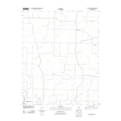 2012 White Church2012 Print · USGSHowell County's rural uplands and river valleys are captured here in the early twenty-first century, just north of the regional hub. Genealogists and local historians can trace family locations near White Church, New Hope Cemetery, and the Middle Fork Eleven Point River.
 - 2012 Map of Mountain View, 2012 Print
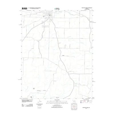 2012 Mountain View2012 Print · USGSMountain View and the surrounding Ozark foothills are captured here in the early twenty-first century. Genealogists and local historians can trace the rural landscape from the Eleven Point River to the quiet settlements of Teresita and Peace Valley.
 - 2012 Map of Clear Springs, 2012 Print
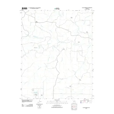 2012 Clear Springs2012 Print · USGSTexas County at the turn of the decade remains a landscape of dispersed settlements and intricate Ozark waterways. Researchers can trace family sites near Clear Springs, locate the New Salem Cemetery, or map the forks of the South Prong Jacks Fork.
 - 2012 Map of Willow Springs North, 2012 Print
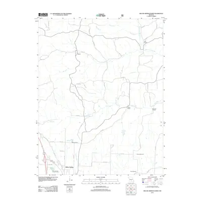 2012 Willow Springs North2012 Print · USGSWillow Springs and the Ozark backcountry are captured here in the early twenty-first century as rural life centered on the local creek network. Genealogists and local hikers can trace family-named terrain like Pine Hollow and the banks of the Eleven Point River.
 - 2012 Map of Pottersville, 2012 Print
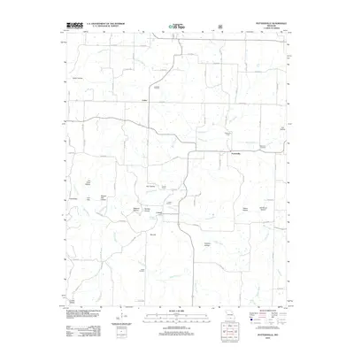 2012 Pottersville2012 Print · USGSPottersville and the surrounding Howell County hollows are documented here during the early twenty-first century. Genealogists and local historians can trace family locations through sites like Cureall Cemetery, Ledbetter Cemetery, and the Pottersville School.
 - 2012 Map of Caulfield, 2012 Print
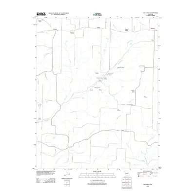 2012 Caulfield2012 Print · USGSHowell County's Ozark highlands are captured here in the early twenty-first century, showing a landscape defined by its springs and hollows. Genealogists and local historians can locate Bly Post Office, Youngblood Cemetery, and rural landmarks like Big Spring School.
 - 2012 Map of Dyestone Mountain, 2012 Print
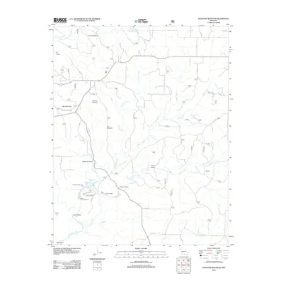 2012 Dyestone Mountain2012 Print · USGSThe Ozark plateau of Howell County is documented here in the early twenty-first century, showing a landscape of deep hollows and high knobs. Researchers can locate the historic Noblett Mill, trace the headwaters of Noblett Creek, and find the Carroll Cemetery.
 - 2012 Map of Siloam Springs, 2012 Print
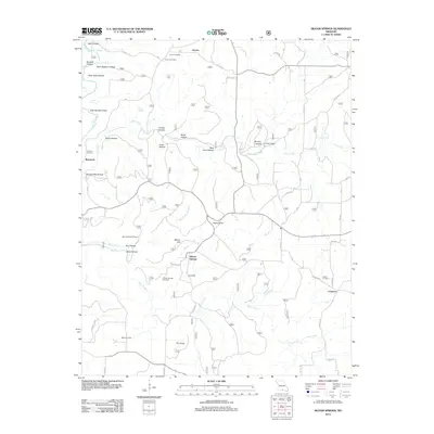 2012 Siloam Springs2012 Print · USGSHowell County at the start of the 2010s reveals a landscape of deep Ozark hollows and quiet rural outposts. Researchers can trace family history through sites like Siloam Springs Cemetery or locate historic landmarks like Pease Mill and The Sinks.
 - 2014 Map of Viola, 2014 Print
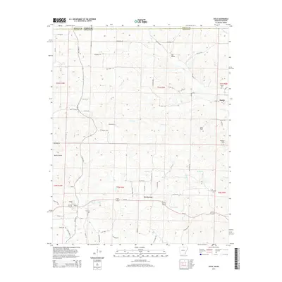 2014 Viola2014 Print · USGSNorthern Arkansas and the Missouri borderlands are captured here in the mid-2010s, centered on the rural community of Viola. Genealogists and local historians can trace family locations through Barker Cem, Watkins Cem, and the geography of Mashie Hollow.
Showing maps 1-25 of 72
Top cities of Howell County
- West Plains historical maps
- Mountain View historical maps
- Willow Springs historical maps
- Brandsville historical maps
Frequently asked questions
- What are the different types of historical maps available for Howell County?
- What is the oldest map of Howell County?
- Where can I purchase historical maps of Howell County for my home or office?
- Where can I download high-res historical maps of Howell County?
- Are there historical topographic maps available for Howell County?
- Is there historical aerial imagery available for Howell County?
- Where are historical maps of Howell County sourced from?