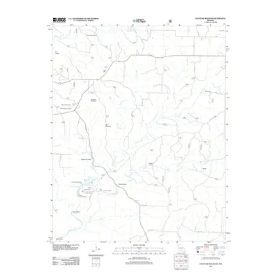
2012 Map of Dyestone Mountain
USGS Topo · Published 2012About this map
Dyestone Mountain and Twin Mountain rise above a landscape defined by the deep incisions of the Ozarks Plateau. The area is heavily defined by its karst topography and water resources, featuring numerous perennial water sources such as Hellroaring Spring, Rockhouse Spring, and Galloway Spring. These waters feed into Noblett Creek and Spring Creek, which have historically supported local industry and recreation.
Find a feature on this map
43 named features on this map. Tap any name to fly to it.
Don’t see what you’re looking for? This feature index may not catch every label — zoom into the map to look around manually.
Map Details
Editions of this 2012 Dyestone Mountain Map
This is the sole edition of this map. No revisions or reprints were ever made.
Other maps of this area

1939 · Topaz
USGS Topo · 1:62,500

1941 · Topaz
USGS Topo · 1:62,500

1945 · Harrison
USGS Topo · 1:250,000

1945 · Willow Springs
USGS Topo · 1:62,500

1945 · Clear Springs
USGS Topo · 1:62,500

1948 · Clear Springs
USGS Topo · 1:62,500

1948 · Willow Springs
USGS Topo · 1:62,500

1949 · Harrison
USGS Topo · 1:250,000

1949 · Rolla
USGS Topo · 1:250,000

1950 · Cabool SW
USGS Topo · 1:24,000