2000s (21st Century) Maps of Howell County, Missouri
Explore 107 historic maps of Howell County from the 2000s (21st Century). These maps offer a rare glimpse into what life looked like during the 2000s — showing old roads, neighborhoods, homes, and landmarks that have changed or disappeared over time.
Whether you're researching your family's past, planning a metal detecting trip, or studying how Howell County's landscape evolved across the 2000s, these high-resolution maps are a powerful tool for exploring the history of this region.
- Focus on a specific era: All maps on this page are from the 2000s, giving you a focused view of this time period.
- See what’s changed: Compare century-old streets, trails, and buildings to today's modern landscape using overlays and satellite layers.
- Research with precision: Use these maps for genealogy, historical research, land use analysis, or educational projects.
- View, download, or print: Maps are fully viewable online in high resolution, and can be downloaded or printed for your own records.
Start exploring Howell County's history through authentic maps from the 2000s. This is your window into the past.
Howell County, MO maps
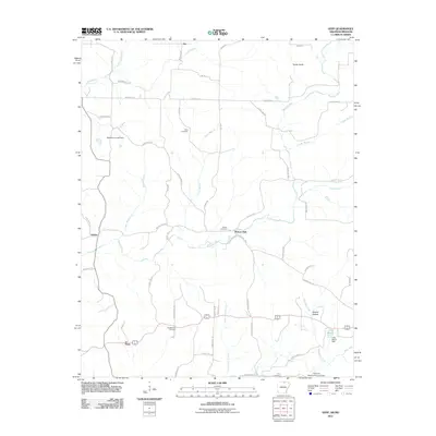
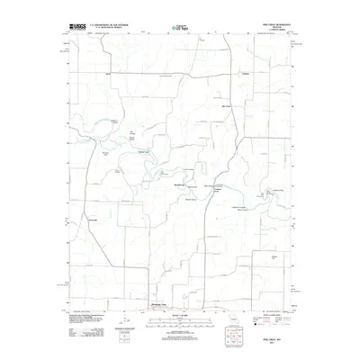
(107)- 2004 Map of Cabool SE, 2006 Print
 2004 Cabool SE2006 Print · USGSTexas County and the surrounding Ozark borderlands are mapped here just after the turn of the twenty-first century. Genealogists can trace family lines through numerous rural landmarks like Cedar Bluff Cem, Pen Ridge Ch, and the Forest Flower School Site.
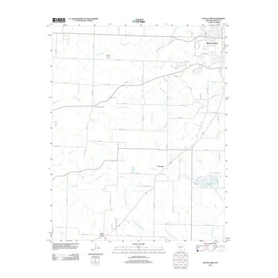
 - 2004 Map of Willow Springs South, 2006 Print
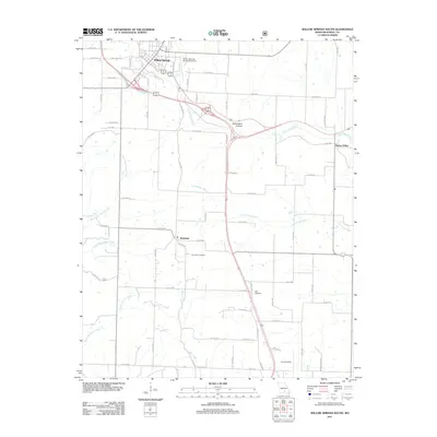
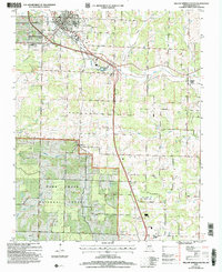 2004 Willow Springs South2006 Print · USGSHowell County at the start of the millennium shows a landscape where Ozark timberland meets the infrastructure of Willow Springs. Researchers can trace old rural communities like Hutton Valley or locate local landmarks like the Iron Mine and White Church.
 - 2004 Map of Dyestone Mountain, 2006 Print
 2004 Dyestone Mountain2006 Print · USGSHowell and Douglas counties are documented here in the early 2000s, showing a landscape defined by timber management and Ozark conservation. Genealogists and local historians can locate the Pine Grove School, Carroll Cemetery, and the Blue Buck Church among the forest ridges.
 - 2004 Map of Siloam Springs, 2006 Print
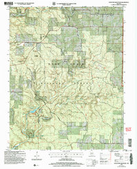
 2004 Siloam Springs2006 Print · USGSHowell and Douglas County are shown here at the start of the millennium, documenting the springs and settlements of the Ozark highlands. Researchers can trace family sites at Siloam Springs, locate the Oak Grove Ch, or explore the terrain of Devils Backbone Wilderness.
 - 2004 Map of Willow Springs North, 2006 Print
 2004 Willow Springs North2006 Print · USGSThe northern reaches of Willow Springs meet the Mark Twain National Forest at the turn of the twenty-first century. Researchers can trace rural lineages via Sargent Road, find the Covered Bridge on Elk Creek, or locate the Frisco Reservoir.
 - 2004 Map of Pottersville, 2006 Print
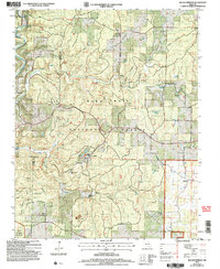
 2004 Pottersville2006 Print · USGSSouthern Missouri hill country is shown here just after the millennium, where deep hollows and high ridges meet the national forest. Researchers can trace rural lineages through numerous local landmarks like Gospel Hill Ch, Cureall Cem, and the old settlement at Pottersville.
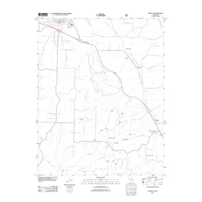
 - 2004 Map of Pomona, 2006 Print
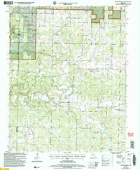
 2004 Pomona2006 Print · USGSHowell County at the turn of the millennium shows the enduring Ozark timberlands of the Mark Twain National Forest alongside a modernizing rural economy. Researchers can trace family sites at Olden and Pomona or find local landmarks like the Drive In Theater and Mt Zion Ch.
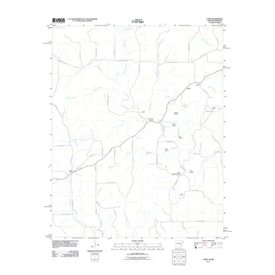
 - 2011 Map of Camp, 2011 Print
 2011 Camp2011 Print · USGSCovers Howell County, including Camp, Fryatt, and other nearby areas
 - 2011 Map of Salem Knob, 2011 Print
 2011 Salem Knob2011 Print · USGSCovers Howell County, including Salem, Moko, and other nearby areas
 - 2011 Map of Viola, 2011 Print
 2011 Viola2011 Print · USGSCovers Howell County, including Viola, Flint Springs, and other nearby areas
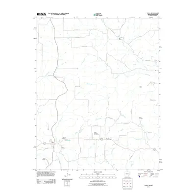
 - 2011 Map of Gepp, 2011 Print
 2011 Gepp2011 Print · USGSCovers Howell County, including Viola, Ott, and other nearby areas
 - 2011 Map of Peace Valley, 2011 Print
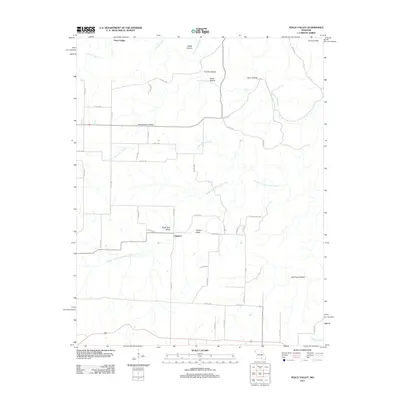 2011 Peace Valley2011 Print · USGSCovers Howell County, including Fanchon, Peace Valley, and other nearby areas
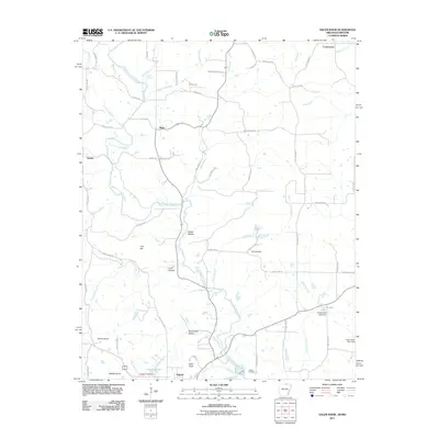
 - 2011 Map of Willow Springs South, 2011 Print
 2011 Willow Springs South2011 Print · USGSCovers Howell County, including Willow Springs, Burnham, and other nearby areas
 - 2011 Map of Trask, 2011 Print
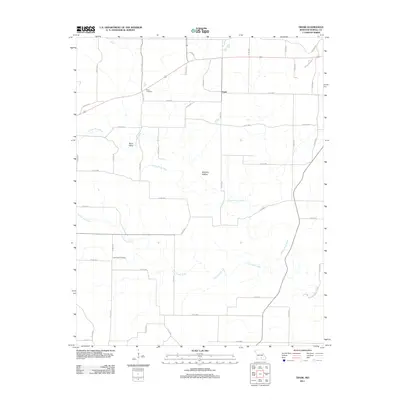 2011 Trask2011 Print · USGSCovers Howell County, including Trask, United States, and other nearby areas
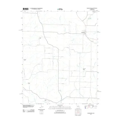
 - 2011 Map of Brandsville, 2011 Print
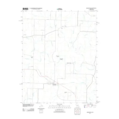 2011 Brandsville2011 Print · USGSCovers Howell County, including Brandsville, Pocohontas Crossing, and other nearby areas
 - 2011 Map of Pomona, 2011 Print
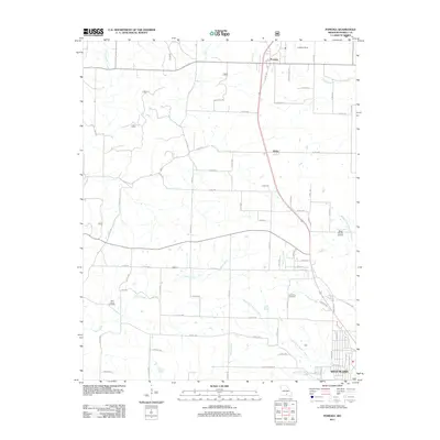 2011 Pomona2011 Print · USGSCovers Howell County, including West Plains, Pomona, and other nearby areas
 - 2011 Map of Lanton, 2011 Print
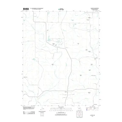 2011 Lanton2011 Print · USGSCovers Howell County, including Globe, Fruitville, and other nearby areas
 - 2011 Map of West Plains, 2011 Print
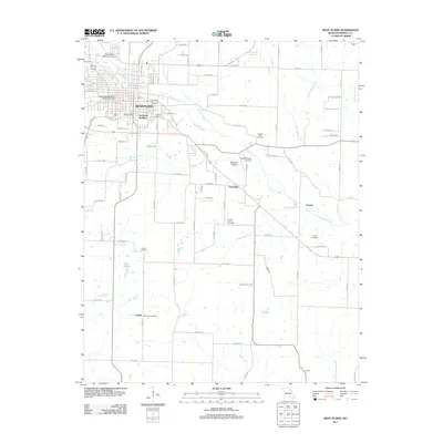 2011 West Plains2011 Print · USGSCovers Howell County, including West Plains, Chapin, and other nearby areas
 - 2011 Map of Pine Crest, 2011 Print
 2011 Pine Crest2011 Print · USGSCovers Howell County, including Mountain View, Harlow Ford, and other nearby areas
 - 2012 Map of South Fork, 2012 Print
 2012 South Fork2012 Print · USGSCovers Howell County, including West Plains, South Fork, and other nearby areas
 - 2012 Map of Cabool SE, 2012 Print
 2012 Cabool SE2012 Print · USGSCovers Howell County, including Cabool, Sargent, and other nearby areas
 - 2012 Map of Koshkonong, 2012 Print
 2012 Koshkonong2012 Print · USGSCovers Howell County, including Koshkonong, Oregon County, and other nearby areas
 - 2012 Map of Moody, 2012 Print
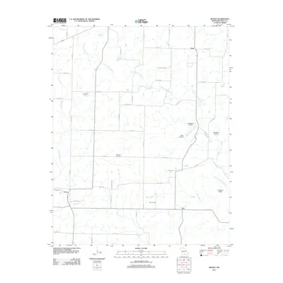 2012 Moody2012 Print · USGSCovers Howell County, including Lebo, China, and other nearby areas
 - 2012 Map of White Church, 2012 Print
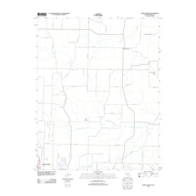 2012 White Church2012 Print · USGSCovers Howell County, including West Plains, White Church, and other nearby areas
 - 2012 Map of Mountain View, 2012 Print
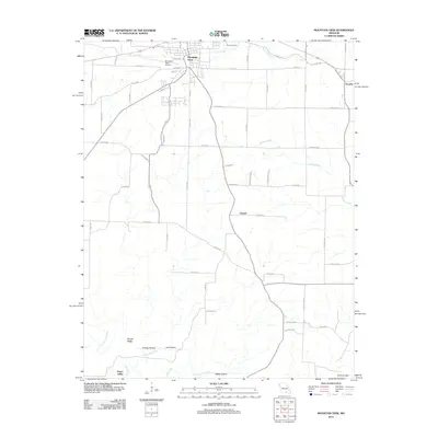 2012 Mountain View2012 Print · USGSCovers Howell County, including Mountain View, Chapel, and other nearby areas
Showing maps 1-25 of 107
Top cities of Howell County
- West Plains historical maps
- Mountain View historical maps
- Willow Springs historical maps
- Brandsville historical maps
Frequently asked questions
- What are the different types of historical maps available for Howell County?
- What is the oldest map of Howell County?
- Where can I purchase historical maps of Howell County for my home or office?
- Where can I download high-res historical maps of Howell County?
- Are there historical topographic maps available for Howell County?
- Is there historical aerial imagery available for Howell County?
- Where are historical maps of Howell County sourced from?