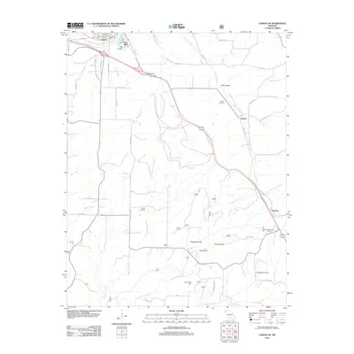
2012 Map of Cabool SE
USGS Topo · Published 2012About this map
Big Piney River flows through the northern reaches of this Texas County landscape, where the southern outskirts of Cabool give way to a network of rural settlements and family-named hollows. The area is defined by its drainages, including the winding paths of Potter Creek and Little Indian Creek, which carve through the terrain near Riley Hollow and Sterling Hollow. This 2012 survey illustrates the persistence of early landmarks, from the Sterling Lookout Tower standing over the eastern ridges to the John Foster Dam on the Middle Indian Creek. Genealogists and local historians can find several established burial grounds, including Cedar Bluff Cemetery, Sargent Cemetery, and Jones Cemetery, which serve as physical anchors for the small communities of Cedar Bluff and Sargent. The transportation corridors of Frisco Rd and Sargent Rd trace the historical development of these Ozark foothills.
Find a feature on this map
38 named features on this map. Tap any name to fly to it.
Don’t see what you’re looking for? This feature index may not catch every label — zoom into the map to look around manually.
Map Details
Editions of this 2012 Cabool SE Map
This is the sole edition of this map. No revisions or reprints were ever made.
Other maps of this area

1939 · Topaz
USGS Topo · 1:62,500

1941 · Topaz
USGS Topo · 1:62,500

1945 · Harrison
USGS Topo · 1:250,000

1945 · Willow Springs
USGS Topo · 1:62,500

1945 · Clear Springs
USGS Topo · 1:62,500

1948 · Clear Springs
USGS Topo · 1:62,500

1948 · Willow Springs
USGS Topo · 1:62,500

1949 · Harrison
USGS Topo · 1:250,000

1949 · Rolla
USGS Topo · 1:250,000

1950 · Cabool SW
USGS Topo · 1:24,000