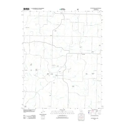
2012 Map of Pottersville
USGS Topo · Published 2012About this map
Pottersville and Cureall anchor this rural landscape in Howell County, where a network of county roads connects family-named landmarks and essential local institutions. The topography is defined by numerous hollows, including Joe Pond Hollow, Butler Hollow, and Powder Mill Hollow, which drain toward water bodies like Davis Creek and Spring Creek. Several cemeteries, such as Ledbetter Cemetery and Setzer Cemetery, are distributed near established homesteads, reflecting the long-standing community roots in the area.
Find a feature on this map
77 named features on this map. Tap any name to fly to it.
Don’t see what you’re looking for? This feature index may not catch every label — zoom into the map to look around manually.
Map Details
Editions of this 2012 Pottersville Map
This is the sole edition of this map. No revisions or reprints were ever made.
Other maps of this area

1939 · Topaz
USGS Topo · 1:62,500

1941 · Topaz
USGS Topo · 1:62,500

1944 · West Plains
USGS Topo · 1:62,500

1944 · Cureall
USGS Topo · 1:62,500

1945 · Harrison
USGS Topo · 1:250,000

1945 · Willow Springs
USGS Topo · 1:62,500

1946 · West Plains
USGS Topo · 1:62,500

1946 · Cureall
USGS Topo · 1:62,500

1948 · Willow Springs
USGS Topo · 1:62,500

1949 · Harrison
USGS Topo · 1:250,000