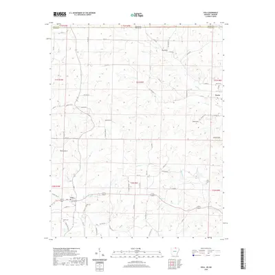
2020 Map of Viola
USGS Topo · Published 2020About this map
The northern reaches of the Ozark plateau meet the Missouri Arkansas border on this landscape defined by deep drainages and isolated high points. The town of Viola serves as a local hub, situated near the intersection of several county routes and anchored by the Viola Cem. Small family cemeteries like Watkins Cem and Barker Cem are scattered across the terrain, offering significant value for genealogical research in Fulton County. Water sources such as Sparks Lake and Flint Spring underscore the importance of natural springs and small impoundments in this rural setting. Notable elevations including Shaw Knob and Wildcat Knob rise above the surrounding valleys, while distinct drainages like Mashie Hollow and Hay Hollow reveal the intricate topography of the Big Creek watershed as it moves south from the Howell Co Fulton Co line.
Find a feature on this map
66 named features on this map. Tap any name to fly to it.
Don’t see what you’re looking for? This feature index may not catch every label — zoom into the map to look around manually.
Map Details
Editions of this 2020 Viola Map
This is the sole edition of this map. No revisions or reprints were ever made.
Other maps of this area

1890 · Mountain Home
USGS Topo · 1:125,000

1891 · Mountain Home
USGS Topo · 1:125,000

1894 · Mountain Home
USGS Topo · 1:125,000

1944 · West Plains
USGS Topo · 1:62,500

1944 · Cureall
USGS Topo · 1:62,500

1945 · Harrison
USGS Topo · 1:250,000

1946 · West Plains
USGS Topo · 1:62,500

1946 · Cureall
USGS Topo · 1:62,500

1949 · Harrison
USGS Topo · 1:250,000

1950 · Salem
USGS Topo · 1:62,500